Tag: prehistoric
-

Castle Law: The Fort of the Maeatae Above the Plains
The Ochil Hills extend for 48 kilometres in a west-southwest direction, broadening into an 11-kilometre section without passes in the west. It is a range of hills which I do not know. Dumyat, a hill overlooking Stirling, rises to a modest 418 metres, with a steep southern descent to the Forth-Devon confluence, while its northern…
-

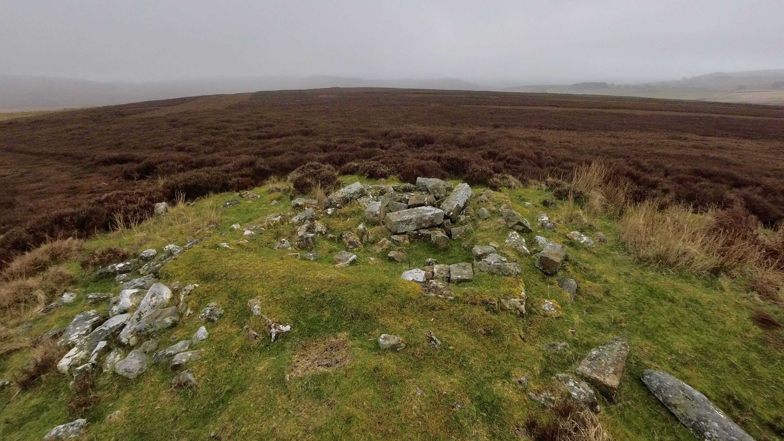
From Pyres to Stones: The Stone Circle of Tomnaverie
Tomnaverie is one of several stone circles in the north-east of Scotland distinguished by a recumbent, or flat-lying stone, flanked by two upright stones. It lies amidst grass and heather on a small hill’s crest. To the south-west, Lochnagar commands attention, suggesting it was a focal point for the circle. The arrangement may have been…
-

Tap o’Noth
Yesterday we climbed to the highest hillfort in Scotland, Ben Griam Beg. Today we ascended to the second highest, Tap o’Noth, on the edge of the Grampians. Here the similarities end. Least of all the weather. Though the hillfort was first excavated in the 19th century, archaeologists from the University of Aberdeen have recently uncovered…
-

Ben Griam Beg
Ben Griam Beg and Ben Griam Mòr, though neither Munros nor Corbetts, are distinguished by their remoteness and prominence in the flat expanse of the “Flow Country.” This view is taken from Ben Griam Beg — “little dark hill” — looking towards its taller sibling, Ben Griam Mòr — “big dark hill” — which surpasses…
-

Baile Mhargait
As I cycled the steep climb into Bettyhill, my mind drifted back to our recent walk from Torrisdale, skirting the coast of Druim Chuibhe to Baile Mhargait, or Margaret’s Town. This region, as the map reveals, is abundant in prehistoric features. I stopped to take this photo. On that walk, we found a large gravelly…
-
High Bride Stone Dyke, Bridestones
On a pleasant morning at Bridestone Moor, near Dalby Forest, soaking in the apricity, and enjoying the azure sky. Regrettably, clouds gathered post-lunch. However, an opportunity presented itself to inspect an ancient dyke delineating the boundary between National Trust property and the Forestry Commission. Over several winters, we endured all weathers on this moor, dedicating…
-
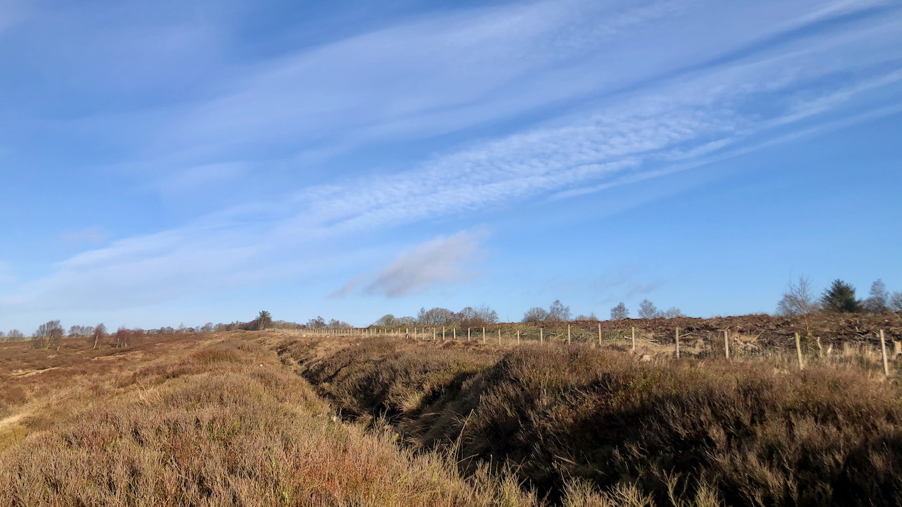
An Iron Age Boundary?
A view along an obvious alignment of stones, stretching from the boundary barrow at Hob on the Hill to the head of North Ings Slack. Associated with it is a pronounced dyke, termed a cross-ridge, although that appears a stretch of the definition. The date is believed to be the Iron Age, and the structure’s…
-
Cheese, Stones, and a Summer Solstice Alignment
I’ve been diving back into that book, “Rock Art and Ritual,” the one I got off eBay a few weeks back. It’s been giving me the itch to go revisit some of the out of the way nooks and crannies on the North York Moors. So today, I took a little jaunt around Urra Moor,…
-
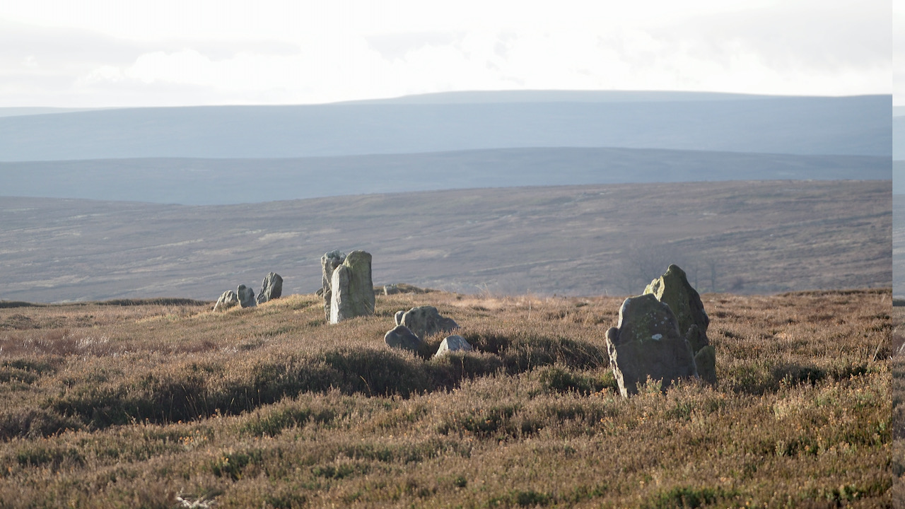
The Nine Stones of Thimbleby Moor
Isn’t it funny how when you haven’t been to a place for months, you seem to end up going there over and over again? This is now the third time in just a few weeks that I’ve ended up around Thimbleby Moor. This time, I took a different route, coming via the Hanging Stone after…
-
Miley Pike
Miley Pike is a type of prehistoric round burial mound that was built during the Late Neolithic period to the Late Bronze Age. These mounds are located in important positions throughout the North York Moors and are an important part of the area’s historical landscape. Round barrows are ancient monuments that were used for burials.…