Tag: mediaeval
-

An Echo of Grosmont Priory
The Grandmontine Priory of Grosmont was established around 1200 at a site overlooking the River Esk. It was one Joan de Turnham who granted the site to the monks, and according to the deed of gift, a “mansion house” already existed there. Its surrounding fields, covering about 200 acres, were already in cultivation, evidenced by…
-

From Battersby to Farndale: A Stone that Guides the Way
Standing stones, those charming columns of rock, are strewn all over the North York Moors. Some mark parish or estate boundaries, others waymarkers or religious crosses. Take this small, irregular stone, for instance, standing unobtrusively just south of the old Rosedale mineral railway line. It is probably post-medieval, though it marks a trod from Battersby…
-

It were a bit barren on t’moors like, nowt much to see!
A view along the Cleveland Way as it traverses Newton Moor, with the elusive Highcliffe Nab shrouded in mist. The cartulary concerning the founding of Gisborough Priory records a significant route named Melegate, extending from a point on the Percy Cross track, known as Molecros, to Roseberry Common. The Cleveland Way here likely follows the…
-

Midilest Middleton
En route to Edinburgh, I found myself in need of a leg stretch. Upon consulting my map, the name ‘Middleton Old Town‘ leapt forth in an intriguing Gothic script. Without hesitation, I decided to explore. The remains of this medieval hamlet straddle the Coldgate Water, with the stream and a sunken path dividing it into…
-
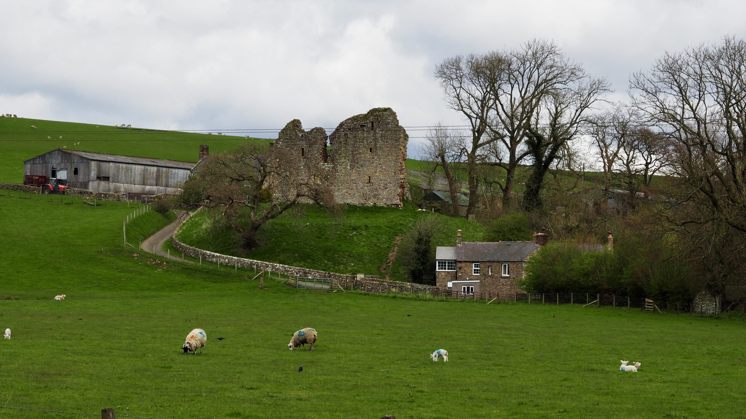
Thirlwall Castle
An excess of photographs from the recent walk along Hadrian’s Wall. However, not all remnants were of Roman origin. This ruin is distinctly medieval. Erected in the 1300s, Thirlwall Castle served as a fortified home for the Thirlwall family. Built from robbed stones from the Wall, its stout walls shielded them from Scottish incursions during…
-
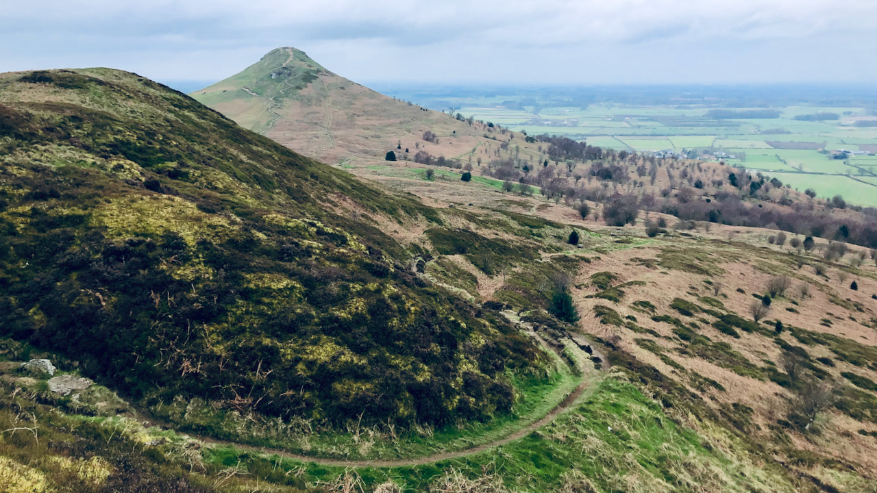
A Path up Little Roseberry, Everything has a History
On the hills and moors lie many landscape features, their origins lost in the mists of time. Contemplating their history evokes me with a sense of curiosity. Take, for instance, the path ascending towards the deep notch in the Little Roseberry spur—it stands as a prime example. The erosion scored into the slope suggests either…
-
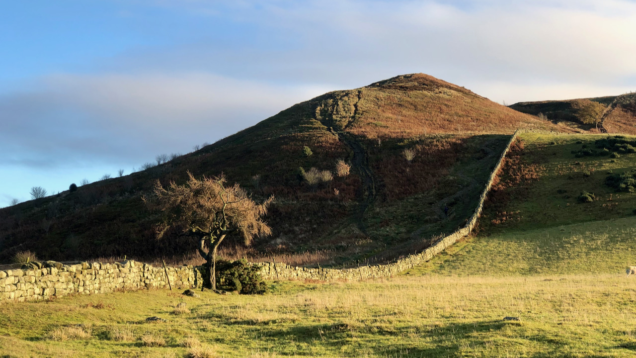
Parvus Othensberg
Many will be aware with the old name for Roseberry Topping as “Othenesberg,” dating back to a 12th-century medieval charter. The initial element, a relic of Old Norse, traces its origins to the personal name Óthinn or Authunn. The subsequent constituent, also Old Norse, derives from “bjarg,” meaning a rock, thereby bequeathing the toponym “Óthinn’s…
-
The carved stone of the Park Pale
Someone asked me to show them a carved stone on Warren Moor. Many years have slipped by since I last saw it, so I figured it’d be wise to retrace my steps and locate it again – can’t have my memory playing tricks on me. The stone didn’t put up much of a fight to…
-
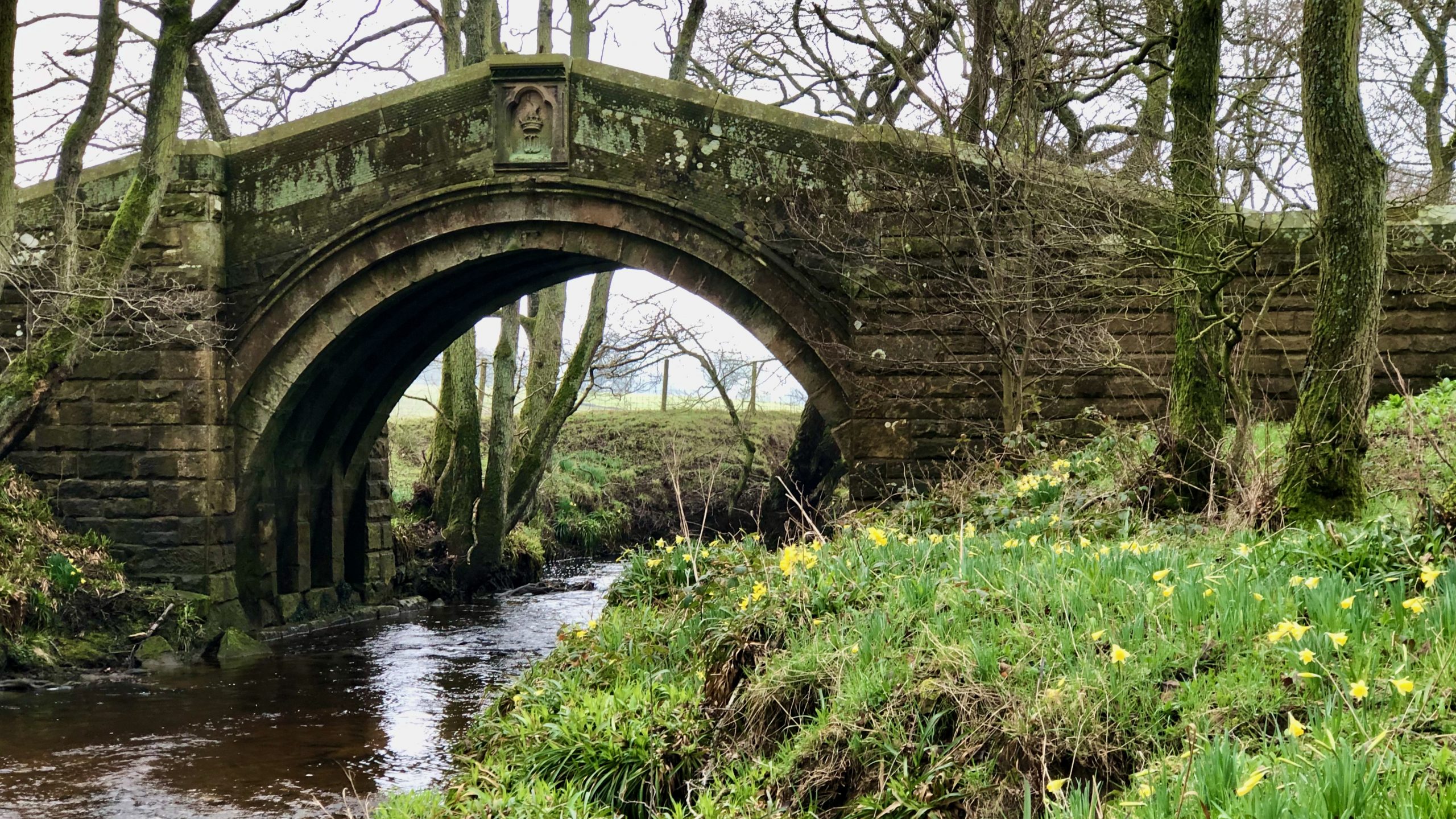
Hunter’s Sty Bridge
The River Esk has a few single-arched bridges, but the best one is probably the Hunter’s Sty Bridge. It’s located at the bottom of Huntersty, the ‘steep path of the hunters,’ just past the northern end of Westerdale village. Hunter’s Sty Bridge was most likely built in the late 13th century to provide access to…
-
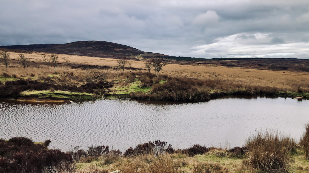
Black Hambleton
The glooming mass of the flat-topped Black Hambleton, the northern end of the calcareous Tabular Hills that range from Roulston Scar in the south. Climbing up to its right is Hambleton Street, part of the drover’s road that once extended from Scotland along which cattle were driven to be sold at the markets of York,…