Many will be aware with the old name for Roseberry Topping as “Othenesberg,” dating back to a 12th-century medieval charter. The initial element, a relic of Old Norse, traces its origins to the personal name Óthinn or Authunn. The subsequent constituent, also Old Norse, derives from “bjarg,” meaning a rock, thereby bequeathing the toponym “Óthinn’s rock.” “Topping,” comes from the Yorkshire vernacular of Old English “topp,” meaning the top of a hill.
Parvus Othensberg is another medieval name, with “Parvus” translating as little in Latin, obviously finding its way onto the modern maps as Little Roseberry.
Many ancient routes converged near Roseberry, as they do today. The charters allude to Melegate, an evidently important route from Molecros on the Kildale Road, to Little Roseberry. This aligns approximately with the Cleveland Way, crossing Newton and Hutton Moors. Molecros, now an enigma on modern mapping, purportedly was sited at the northern extremity of Percy Cross Rigg — near the top of the “Unsuitables”. The expanses of moorland were of paramount import for common pasturage and as sources of turves and ling.
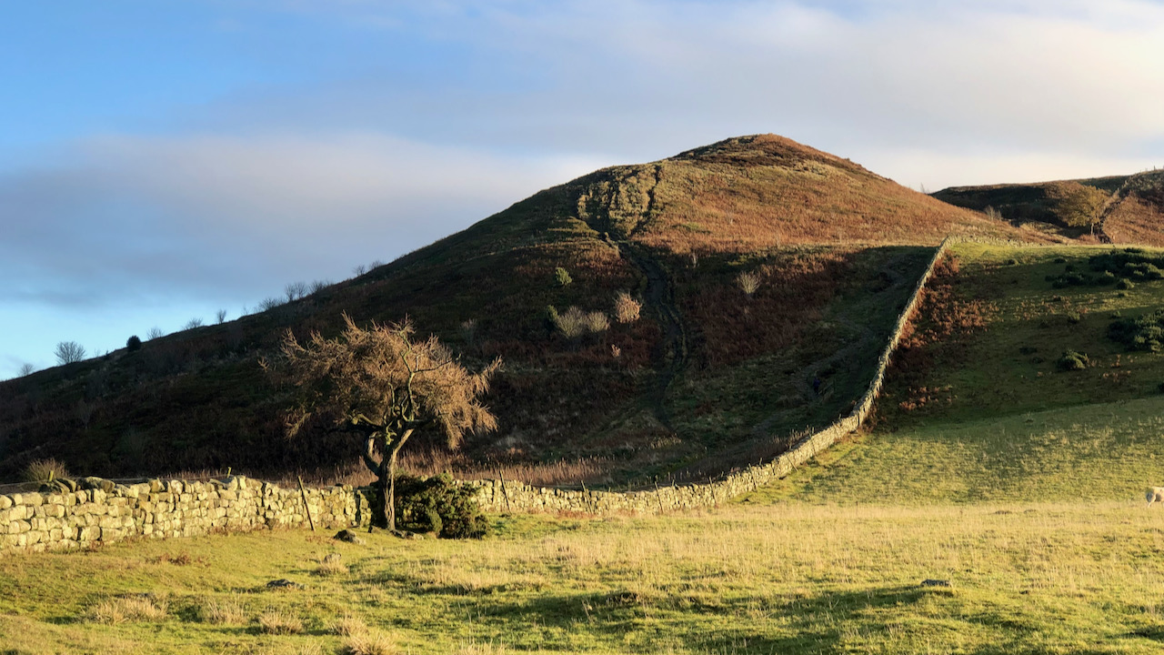
The deep cleft on Little Roseberry was presumably the route used northward, seeking a less severe descent, eventually crossing the Carrs to Barnaby Side, Eston Moor, and the lowlands adjacent to the Tees.
Crossegate, another vestige from the medieval charters, also lacks a contemporary counterpart but is conjectured to follow the modern forest track from Hutton to the col on Roseberry Common.
Sources:
- “Guisborough Before 1900”. Edited by B.J.D. Harrison and G. Dixon. 1982.
- Dixon, Grace. “Two Ancient Townships – Studies of Pinchinthorpe and Hutton Lowcross”. 1991.
Leave a Reply