Tag: historical
-
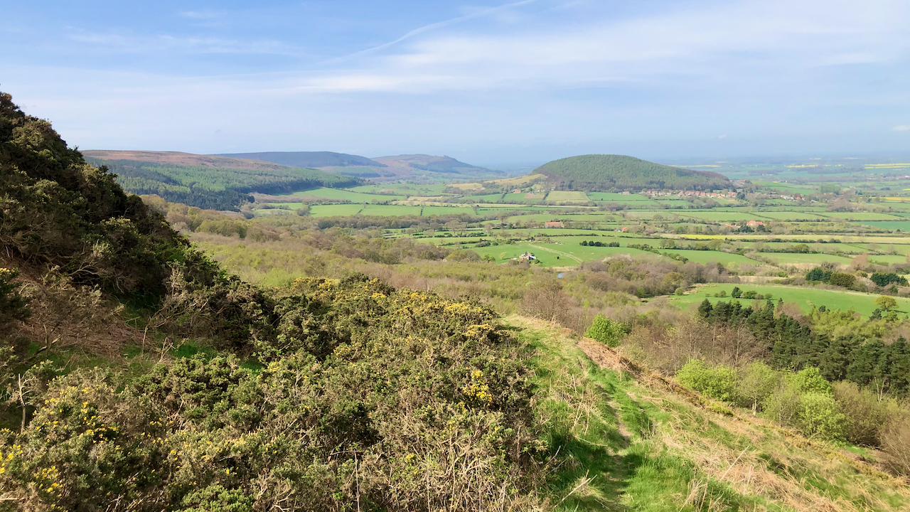
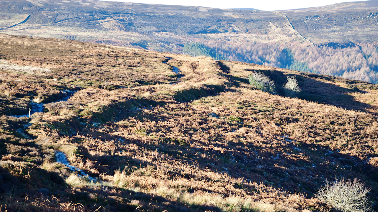
An old holloway up Carlton Bank
I tried to use a little used Public Footpath which loops around from the foot of Carlton Bank to the now demolished Underhill House. But I became distracted by a mountain bike track and ending zig-zagging up through the trees eventually coming across an old holloway, well above the present road. Overgrown by gorse, it…
-
Live Moor promontory fort
A small Bronze Age fort on the north-west corner of Live Moor, more often called Knolls End. Within spitting distance of the Cleveland Way and Coast to Coast footpaths but no Information Boards adorn the site. It was only “discovered” in 1979 so there have been no excavations done. But … … there are sure…
-
Rosedale Glass Works
I’ve been meaning to explore the lower part of Rosedale for some time. especially the site of an Elizabethan glass works. A lovely Spring day with blue skies but the site of the works were a little underwhelming. The ruins of a building associated with a 19th-century sandstone quarry was much more interesting. On the…
-

Low Staindale
A delightful former farm-house situated in Staindale in the parish of Lockton. The farmstead is shown on the Thomas Jefferies map of 1775 and it is believed the farmhouse certainly dates from that time with later alterations and extensions. The house itself is Grade II listed but two of the outbuildings are also of historical…
-
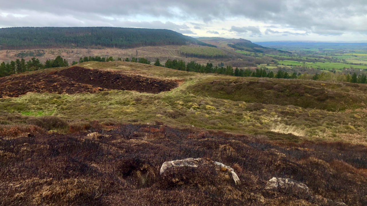
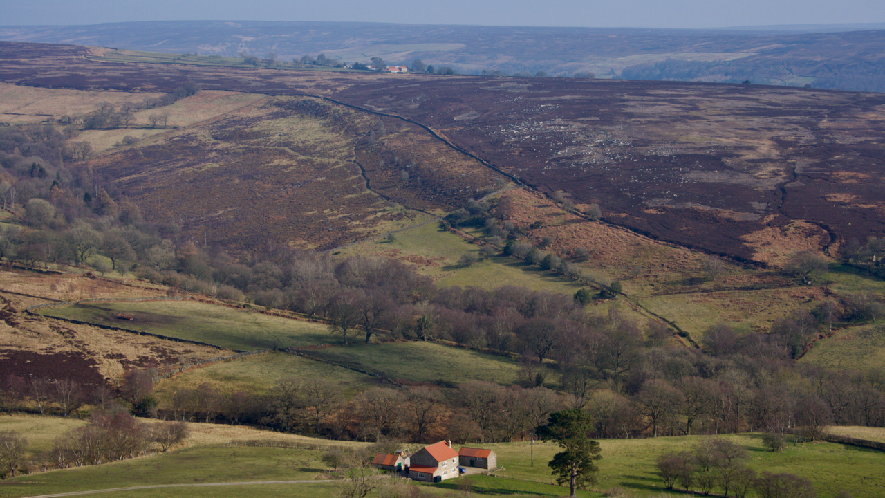
Kirby Bank
Once a scene of industry, with an ‘alum house’ believed to be on the grassy tract on the right near the patch of gorse. The workings were higher up the bank, out of shot to the left, where the bridle way contours around the hillside. A wooden channel is thought to have carried the liquor…
-
Nova Scotia Farm and Ladhill Gill
A view north-east from Hawnby Hill. A view with several interesting features. Bumper Hagg, on the far side of Ladhill Gill, contains an abundance of pre-historic features. Cairns, and linear earthworks. In the distance, seemingly on the highest point of Bumper Moor, is Wethercote Farm. This was one of the main sheep-rearing farms of Rievaulx…
-
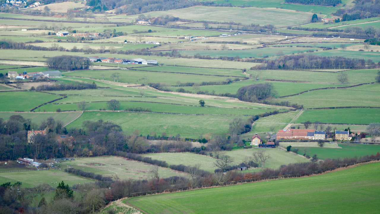
Pinchinthorpe
The Domesday Book records two manors in Pinchinthorpe. The eastern half, centred on the modern Pinchinthorpe House (but not as far as the Pinchinthorpe Vistor Centre) and the western half comprising Pinchinthorpe Hall. The photo shows almost the full extent of the western half. Bottom left, partially hidden by trees is Pinchinthorpe Hall. The farm…
-
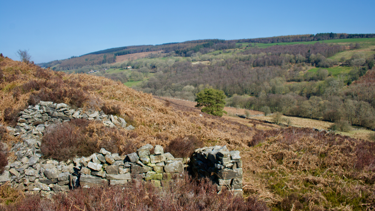
Billy’s Dyke
So named after William the Conqueror, who was supposed to have passed this way in his harrying of the north. Here he met with a storm and cursed in its face. I’m surprised I haven’t posted about this 4.4km earthwork along the eastern edge of Bilsdale before but it’s not exactly the most photogenic subject. Another…
-
The Hospital of St. Leonard of Lowcross
A miserable morning so I thought I had better take a photo or two before venturing up into the gloom. The old Ordnance Survey map shows a “Leper Hospital (Site of) A.D. 1392” to the left of centre within the curve of the track. This location is confirmed on the North York Moors Historical Environment…
-
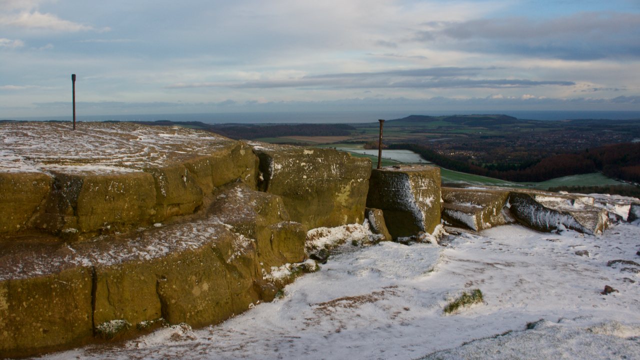
A fresh sprinkling of snow on Roseberry summit
A sprinkling of fresh snow coated the summit this morning and judging by the absence of footprints I was the first. It’s quite a rarity nowadays to have the summit to myself. Even at night head-torches can frequently be seen. Besides the 1950s trig point, two pieces of modernity adorn the summit. Both can be…