Tag: dale
-
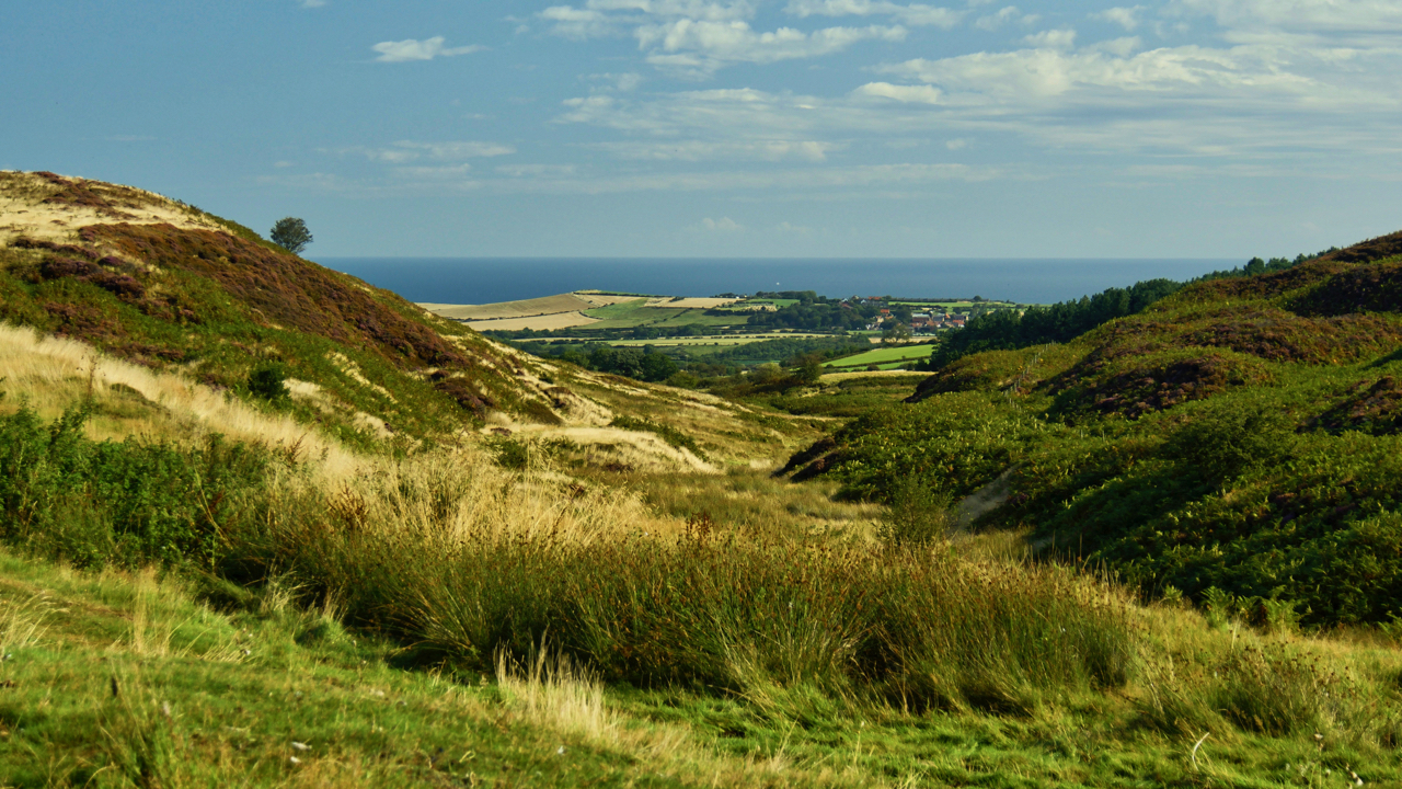
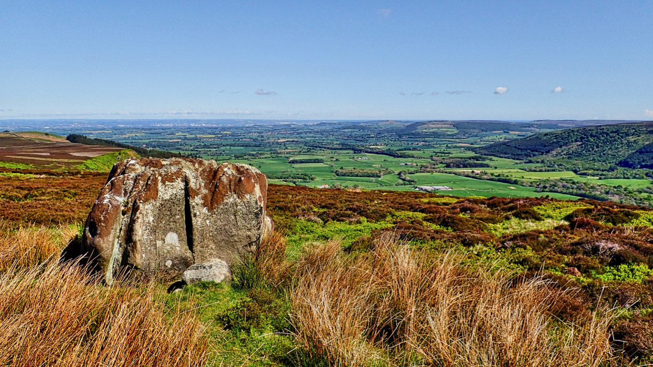
Birk Dale
The upper end of Borrowby Dale which drains into the North Sea at Staithes. On old maps, it is Birk Dale, on modern Birch Dale. I prefer to use the old name. The high point on the coast in the distance is Beacon Hill between Staithes and Port Mulgrave. Hinderwell is the village on the…
-
Lonsdale
There is a wonderful phrase in Hebridean Gaelic, rionnach maoimi, meaning literally a mackerel panic but used to refer to the shadows cast on a hillside by clouds moving across the sky on a windy day. I am sure there must be a kindred word for a shaft of sunlight falling on the ground through…
-
Ewe Crag Beck
A run out from Danby to Sis Cross and back via Ewe Crag Beck, a deep long meandering valley. At its head it becomes Ewe Crag Slack where it is shallow, broad, and flat, forming a boggy col in the watershed. With “no stream worth mentioning” Frank Elgee suggests in his book The Moorlands of…
-
Commondale
Most people associate Commondale with the small collection of houses centred around the Cleveland Inn at the bottom of Sand Hill Bank. But Commondale only really begins there and ends downstream at the confluence of Commondale Beck with the River Esk. A narrow, secluded dale, about 4km long. Cyclists using the bridleway between Foul Green…
-
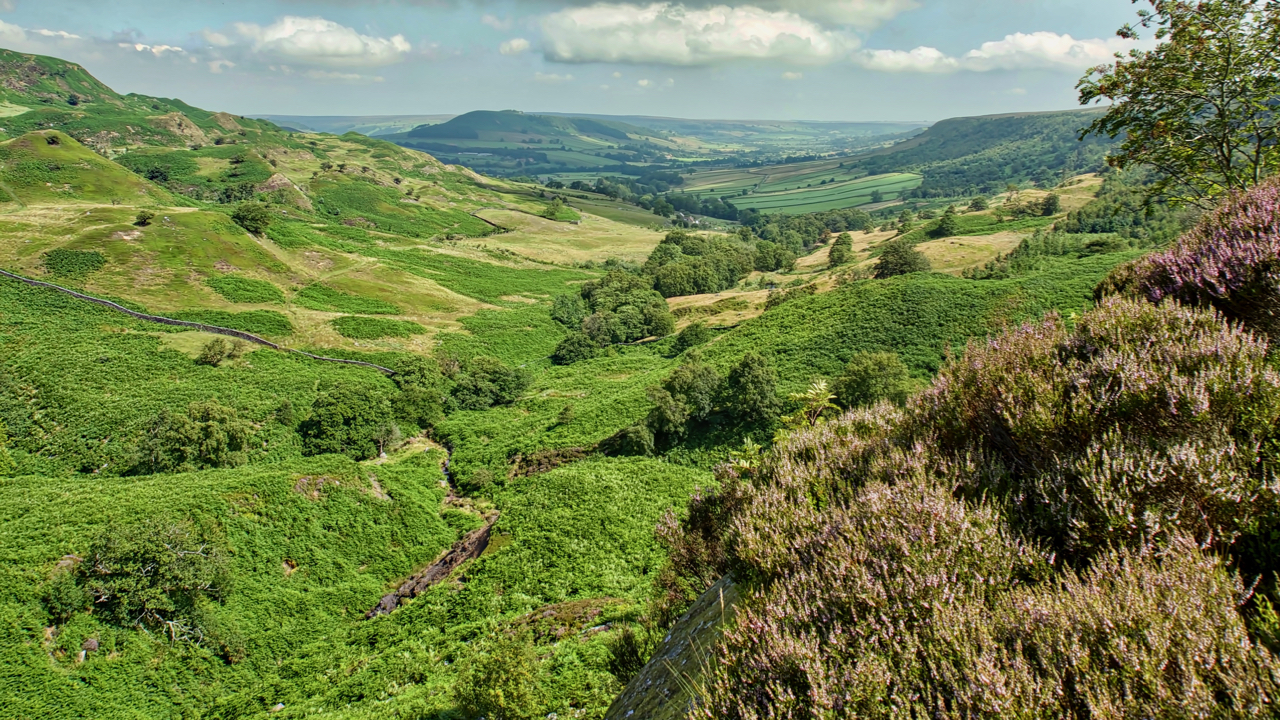
Great Fryup Dale
A hot and humid day. Felt stifling on the descent into the bracken infested Wood Head, the top of Great Fryup Dale. The ling is just beginning to come into bloom. Open Space Web-Map builder Code
-
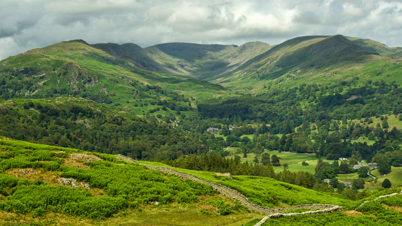
The Fairfield Horseshoe
A classic fell race, up one ridge, down the other, starting from Rydal, 10 miles with 900m of climb. Won in about 75 minutes. Viewed from Loughrigg Fell. Open Space Web-Map builder Code
-
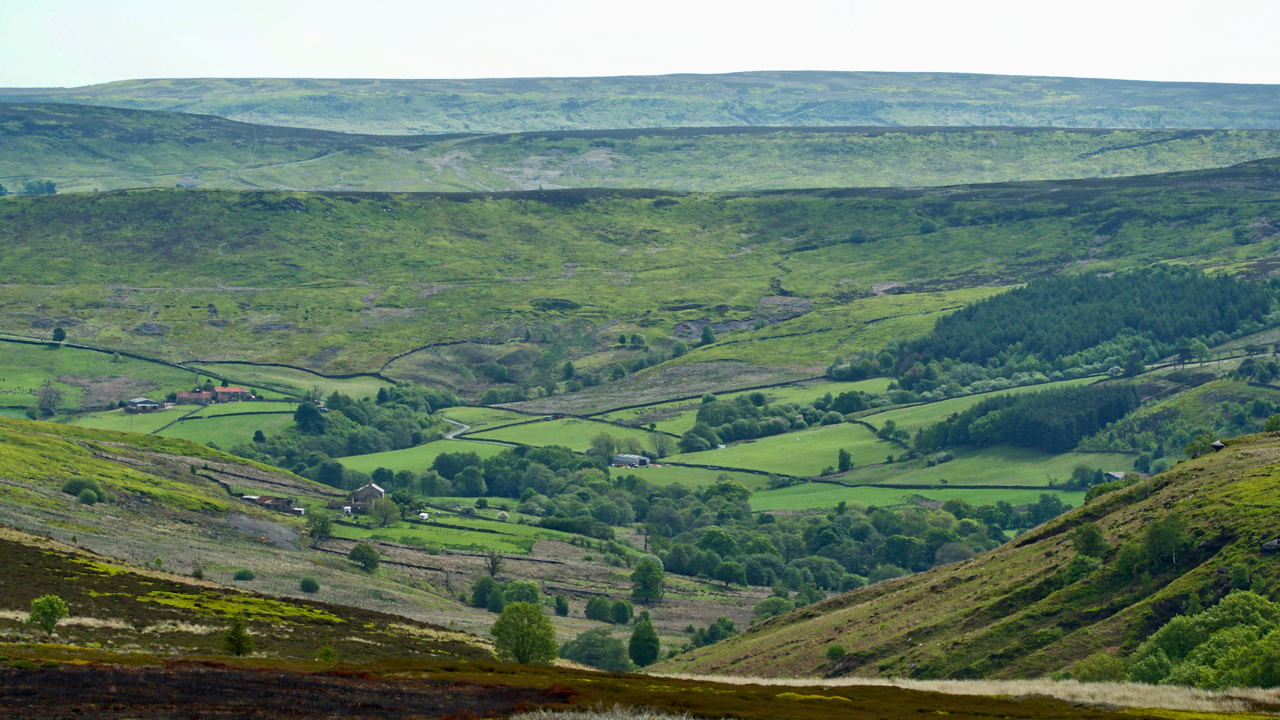
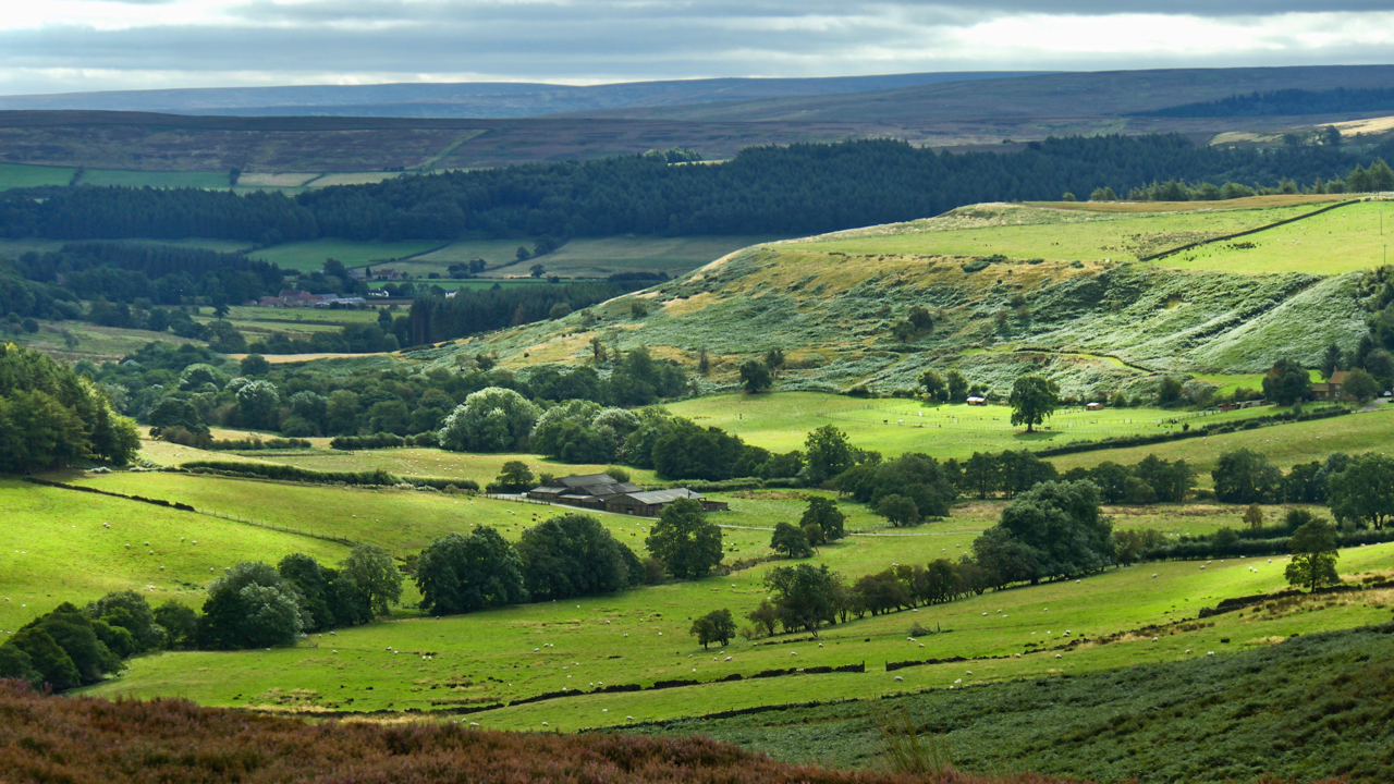
Stockdale
An offshoot of Westerdale penetrating deep into Baysdale Moor. Castleton and Danby Riggs in the distance. At the foot of the dale was the medieval hamlet of Braithwaite, signifying an area cleared of woodland. Today, there are just a handful of scattered farms, Leath House, Hill House, Daleside Farm and, on the left, New House…
-
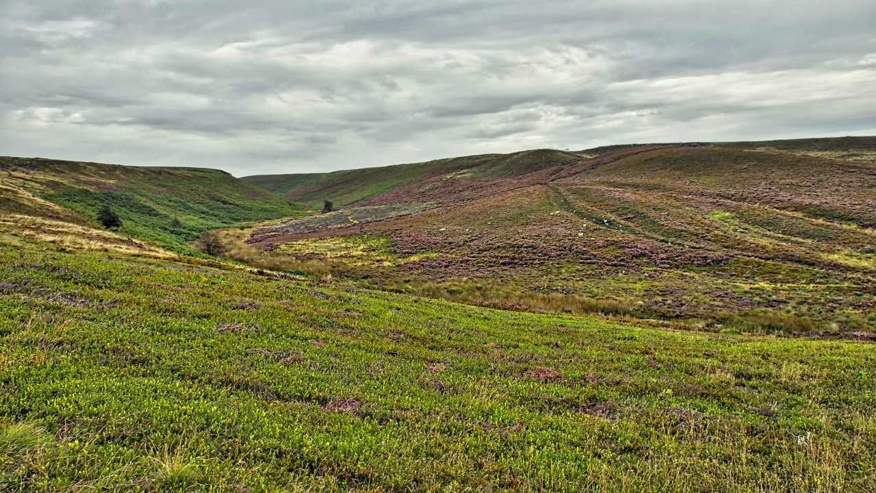
Greenhow Botton
That deep embayment at their western extremity, Greenhow Botton, around which the moors attain their greatest elevation of nearly 1500 feet, is perhaps the most remarkable feature of the hills. The Botton lies almost a mile to the south of the line of the main range of uplands and has remarkably steep and precipitous sides…
-
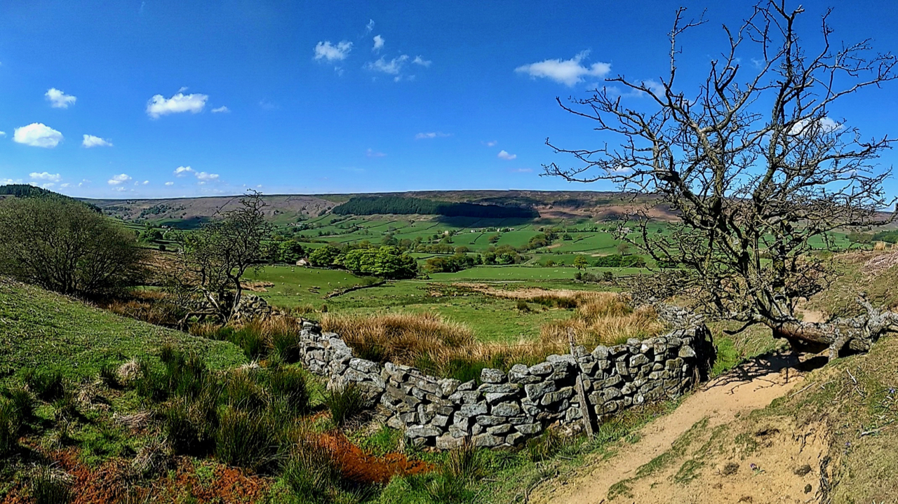
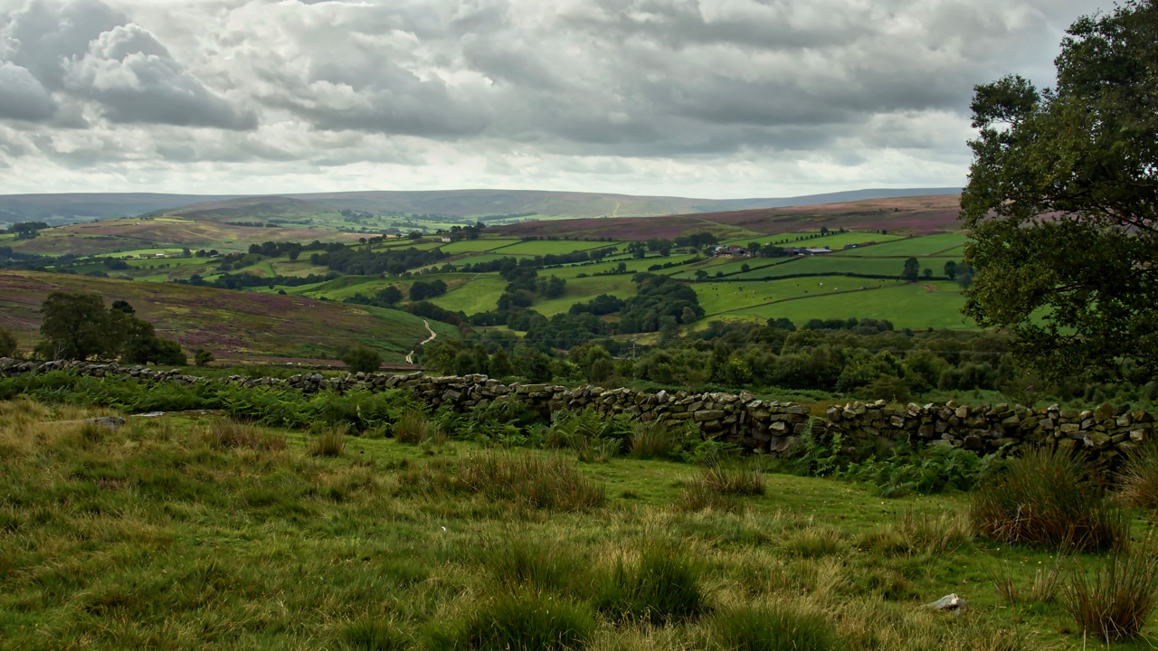
Bransdale
A lovely day in Bransdale. Bransdale’s walls are precarious features. Irregular sandstone boulders built in a single skin with more holes than a colander, yet this wall is shown on mid-19th-century maps but as a boundary between the moor and the richer fields of the dale, it might well be much, much older, first constructed…
-
Sowerdale
I read in the proceedings of the Cleveland Naturalists’ Field Club 1903-1904 a hypothesis that at the time of the last ice age a lake existed in Kildale trapped by a great ice sheet, a thousand feet thick, flowing down the Tees valley from Stainmoor Gap. I was aware of such an ice lake in…