Category: Cleveland Hills
-
Botton Head, site of a WW2 air crash
Climbed Botton Head onto Greenhow Moor in search of the site of a WW2 air crash. On 21 October 1940 an Armstrong Whitworth Whitley Mk. V was returning to its base at RAF Linton on Ouse, just off the A19 north of York, from a raid on the Skoda factory in Czechoslovakia, crashing into the…
-
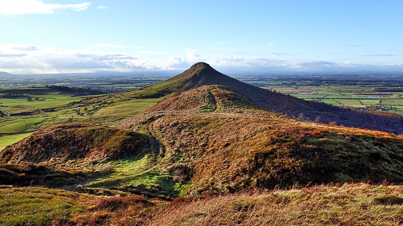
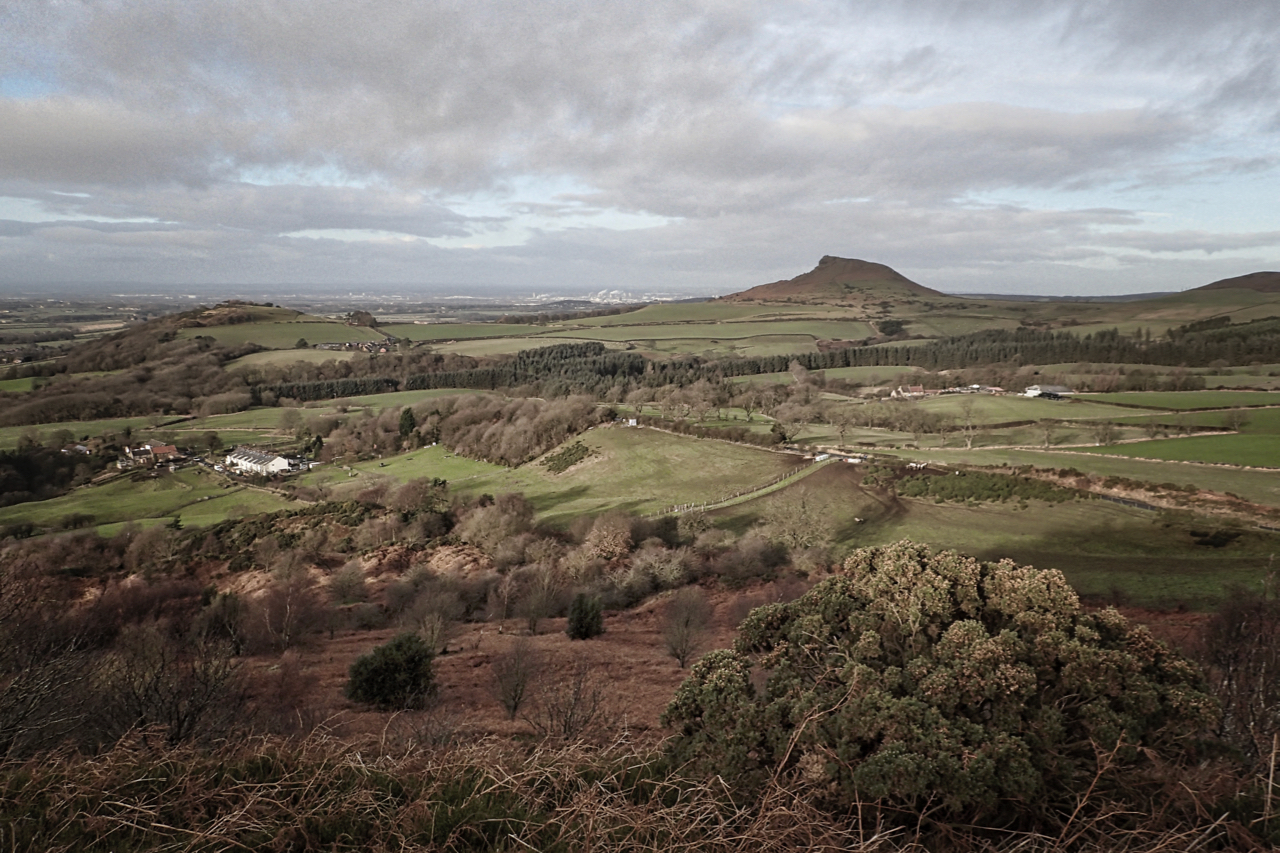
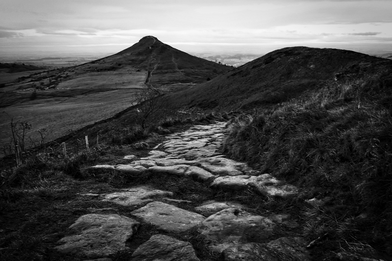
Little Roseberry/Big Roseberry
Finally, after a week of grey, sunshine and blue sky. A classic view of Roseberry.
-
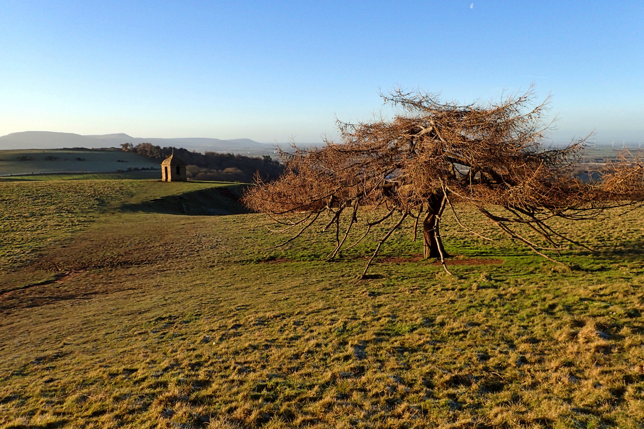
The Folly and the Banana Tree
The mysterious sandstone building below Roseberry Topping. Most likely a folly built to enhance the landscape. But no one knows for sure. And the Banana Tree as it is affectionately known by children. Open Space Web-Map builder Code
-
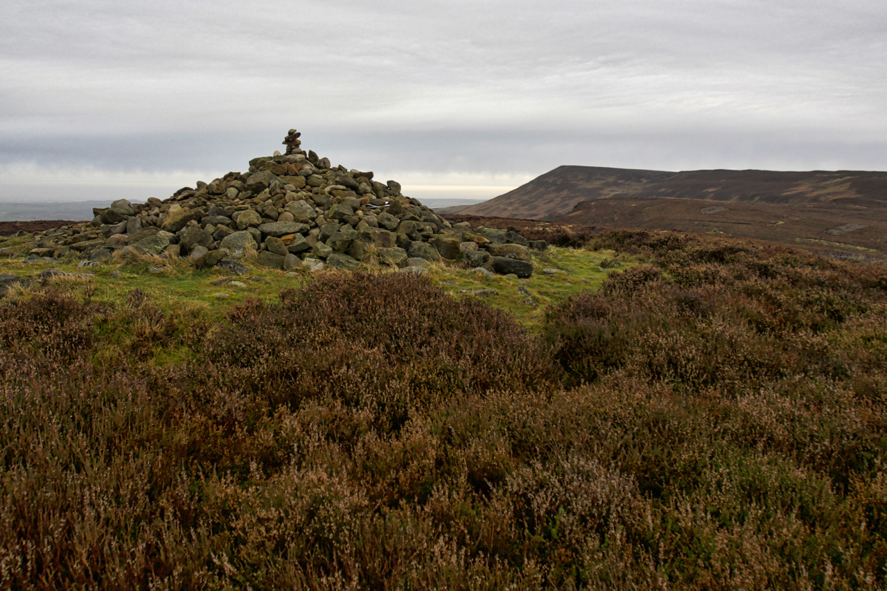
Round Barrow, Live Moor
A new plaque has been fixed to a stone by the National Park asking visitors not to disturb the Bronze Age burial mound on Live Moor near Whorlton. Not to remove or add stones to the cairn. The custom has developed amongst walkers and ramblers to add a stone or two to piles of stones…
-
First Footing
New Year’s Day and back home in the Cleveland Hills after a pre-dawn dash from the Lakes. This from Cockshaw hill above Gribdale Terrace and Howl Road. Roseberry in the distance. A reasonable morning. Cloudy but dry. An old Yorkshire saying is that the weather until March is governed by that on the first three…
-
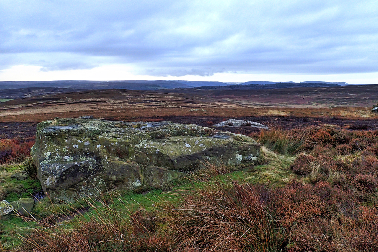
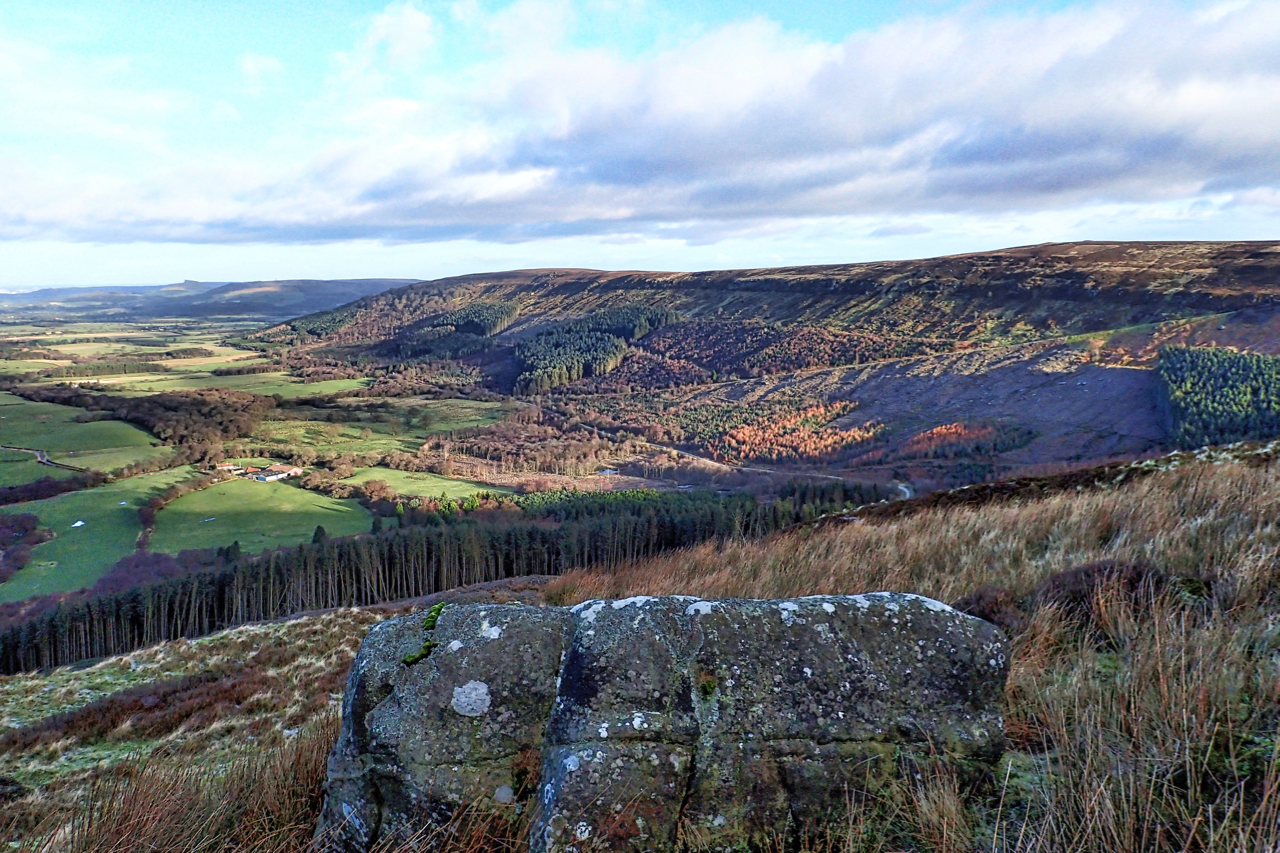
Boulder, Potters Ridge
It always surprises me that this large flat boulder, on Potters Ridge around the back of Highcliff Nab is not named on any map. It is certainly significant and its location on a high point on the North York Moors escarpment only slightly lower than surrounding tops would have been a natural draw for prehistoric…
-
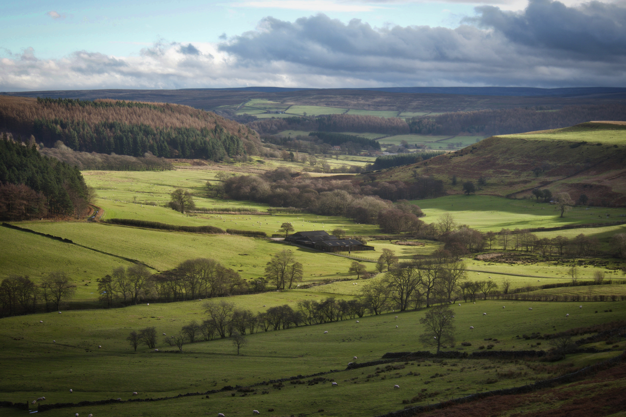
Lonsdale
A side valley of Kildale on a sunny Christmas Day. The farm in the centre we still know as Smelly Farm. Well, that was twenty years ago, it has been tidied up since and no longer exudes the particular miasmas. And of course, it was never a farm as such just a range of barns.…
-
St. Thomas’s Day
December 20th, the feast of St. Thomas, or Doubting Thomas as he is sometimes referred because he doubted Jesus’s resurrection, was a bit of a special day for Yorkshire folk. The Rev. Atkinson in the 19th-century wrote of the custom of children going a-Thomassing, that is visiting houses on this day and asking for Thomas’s…
-
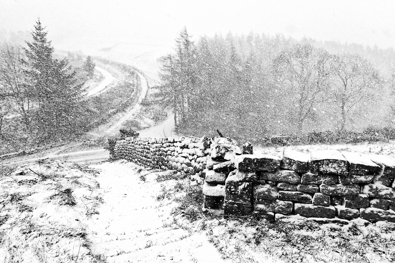
Snowstorm at Hagg’s Gate
I was reminded today of a popular knick-knack of the 60s: a snow globe. A half dome of glass filled with water and snow confetti. Inside was a small scene, maybe including a reindeer or a Disney character. Given a shake, the scene would be transformed into a snowstorm. I am looking down through a…
-
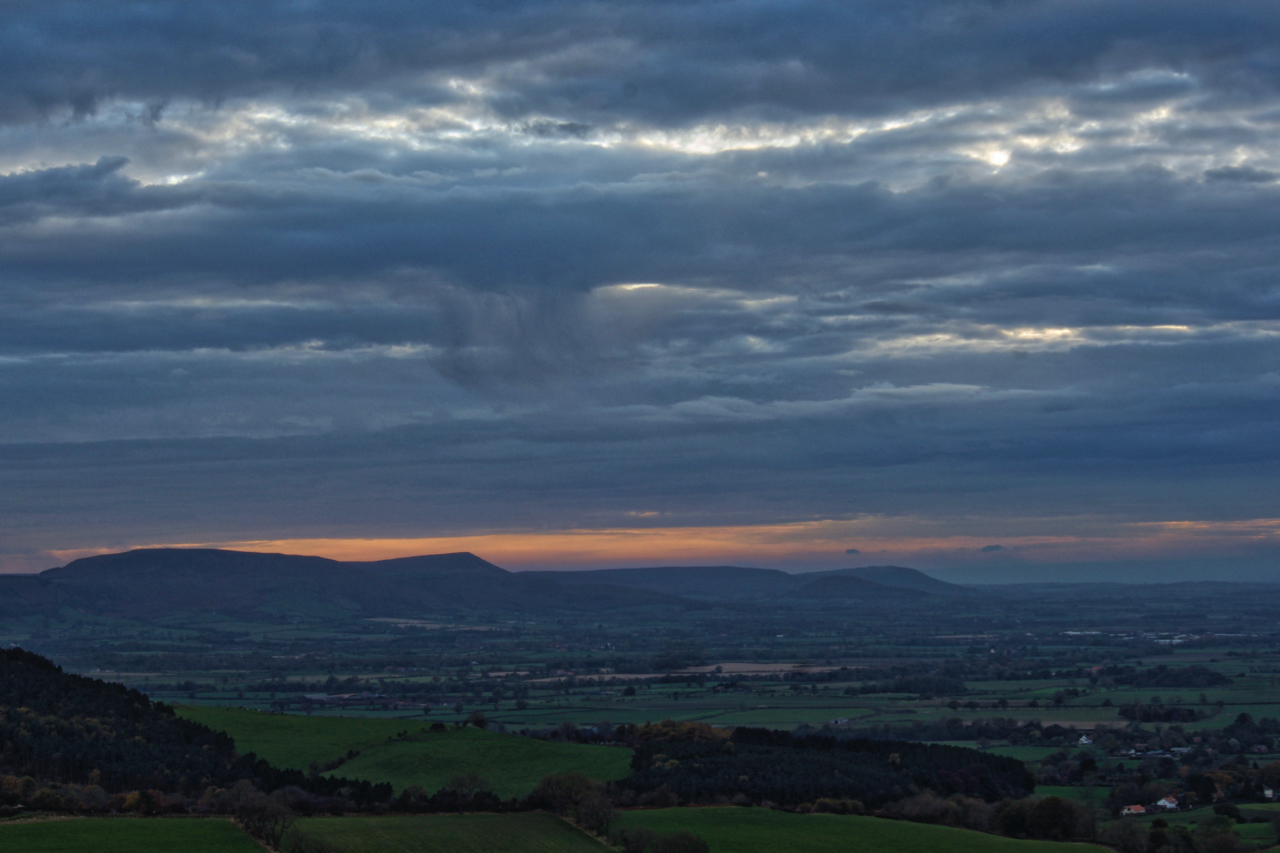
Cleveland Hills
Just a sliver of a sunset. A bit disappointing and a reminder of the dark winter nights ahead. A view south west from Newton Moor. Open Space Web-Map builder Code