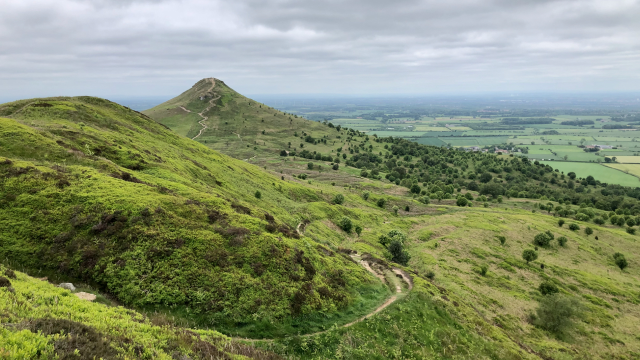
A view of the north side of Little Roseberry.
There is no indication of a footpath on the 1856 Ordnance Survey Six-inch map, nor the parallel gulleys. Instead a ‘Bridle Road‘ is shown, initially following this route, then taking a right angle, contouring around the nose and ascending on the north side. This Bridle Road is named as ‘Bridle Gill Road‘1Maps.nls.uk. (2022). View map: Yorkshire 17 (includes: Guisborough; Hutton Lowcross.) – Ordnance Survey Six-inch England and Wales, 1842-1952. Available online at: https://maps.nls.uk/view/102344206#zoom=6&lat=950&lon=5310&layers=BT [Accessed 4 Jun. 2022].
The parallel gulleys must have been created as a result of heavy usage and the temptation is to assume this was from the sledding of stone blocks from the sandstone quarry marked at the to of Little Roseberry. Where is cleft in the ridge is today.
- 1Maps.nls.uk. (2022). View map: Yorkshire 17 (includes: Guisborough; Hutton Lowcross.) – Ordnance Survey Six-inch England and Wales, 1842-1952. Available online at: https://maps.nls.uk/view/102344206#zoom=6&lat=950&lon=5310&layers=BT [Accessed 4 Jun. 2022]
Leave a Reply