Tag: topography
-
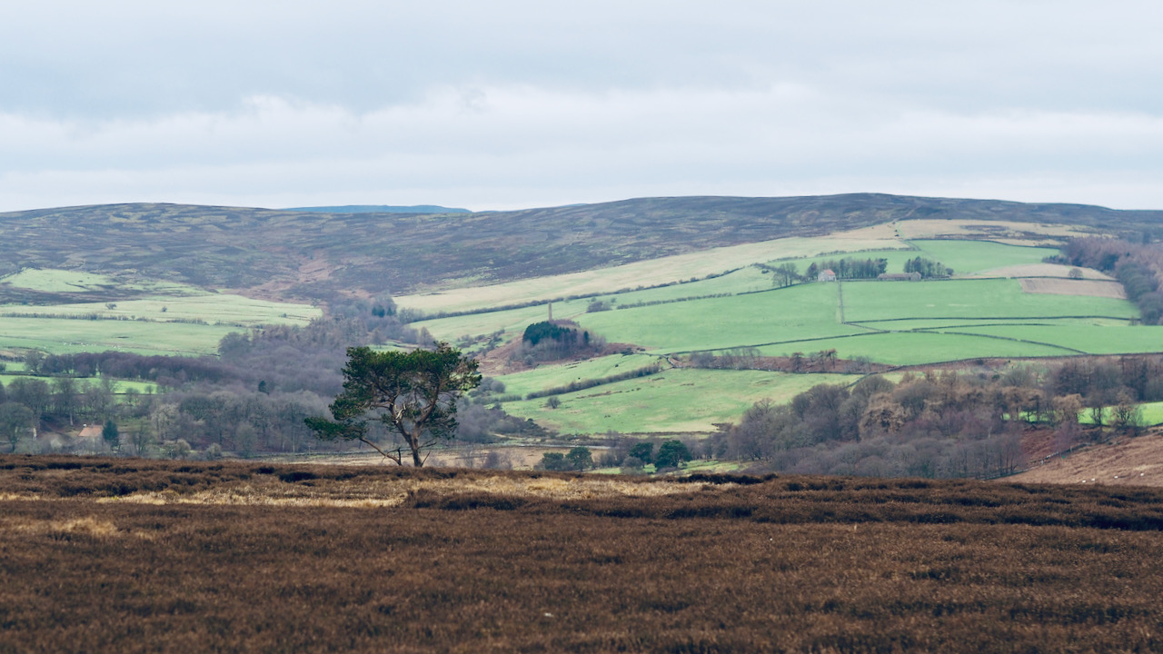
Source of the Leven
A rarely seen view of the upper reaches of the River Leven, that tributary of the Tees, before it begins its winding journey through the lowlands south of Middlesbrough. Beginning high on Warren Moor at the edge of Cleveland Hills, this river is unique as the only one north of the Humber that flows westward…
-
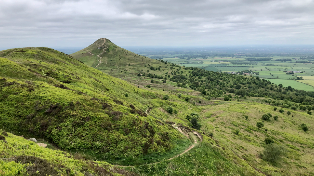
Bridle Gill Road
A view of the north side of Little Roseberry. There is no indication of a footpath on the 1856 Ordnance Survey Six-inch map, nor the parallel gulleys. Instead a ‘Bridle Road‘ is shown, initially following this route, then taking a right angle, contouring around the nose and ascending on the north side. This Bridle Road…