Last Sunday I wrote about the 13th-century charter ‘Cartularium Prioratus de Gyseburne’ in which ‘Thruhkelde’ or the ‘spring on the pass’ was mentioned. It is thought to be Codhill Spring on the 1856 Ordnance Survey map. Passing by today, I though I would take a look.
It’s easy enough to find, barely five metres from the Cleveland Way but I wonder how many walkers have actually gone up to the dry stone wall and peered over.
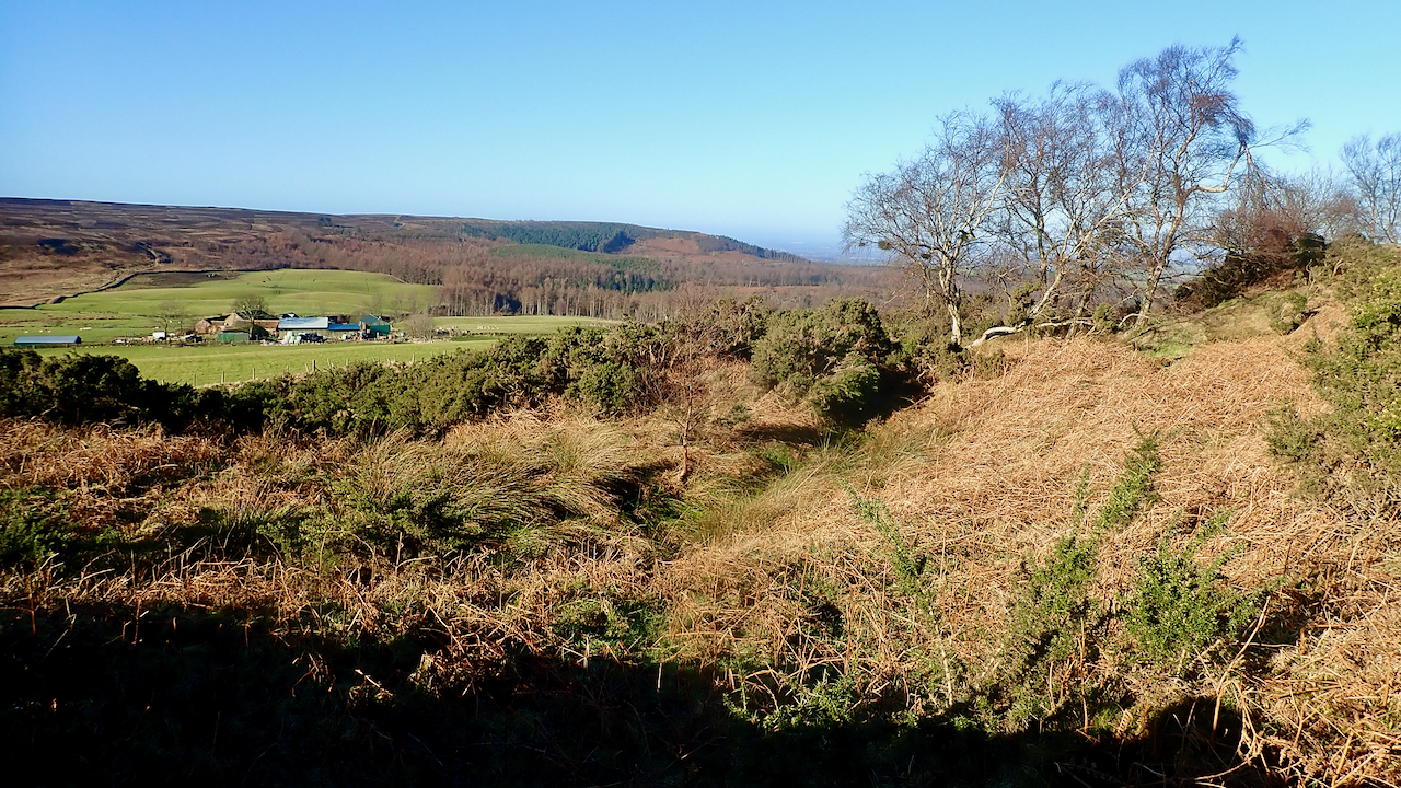
A gully in an area of bracken covered scrub indicates the line of the spring and the rushes shows it is still wet. In the distance is the farm mapped in 1856 as ‘Cod Hill’ but is now Highcliffe Farm on the 1:25,000 map and Codhill Farm on larger scales. The farmhouse, adjoining cottage, and an outhouse are all Grade II buildings listed dating from the 18th-century1“British Listed Buildings.” Britishlistedbuildings.co.uk, 2014, britishlistedbuildings.co.uk/101329551-highcliff-farmhouse-and-adjoining-former-farm-cottage-and-outhouse-guisborough#.YDquHV37TUI. Accessed 27 Feb. 2021..
[Ref016]
- 1“British Listed Buildings.” Britishlistedbuildings.co.uk, 2014, britishlistedbuildings.co.uk/101329551-highcliff-farmhouse-and-adjoining-former-farm-cottage-and-outhouse-guisborough#.YDquHV37TUI. Accessed 27 Feb. 2021.
Leave a Reply