I mentioned last week that I thought the heather was late coming into bloom this year. Well, the sunny spell has given it a spurt and it’s now getting there.
Still not as intense as I remember though.
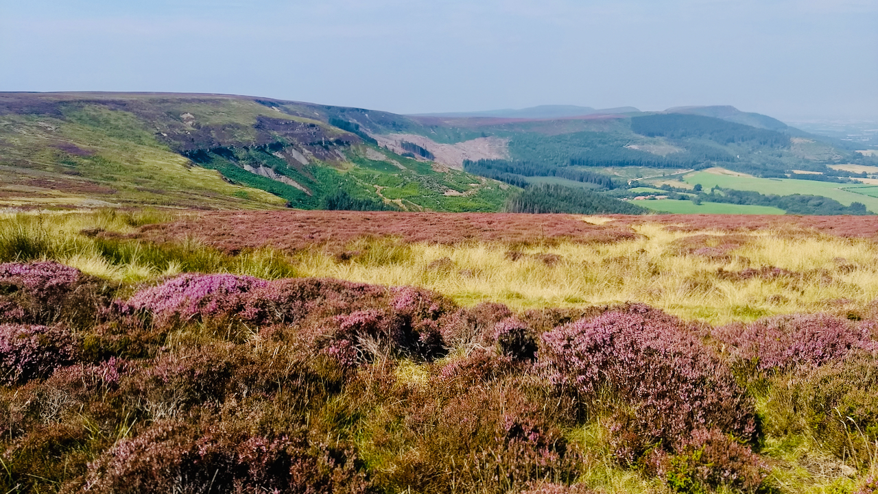
This is taken from the old Rosedale mineral railway near to the top of the incline and is looking across to Round Hill, the highest point on the North York Moors.
The steep heavily forested slopes of Botton Head and Jackson’s Bank look bare after being partially felled.
Botton Head is named on the oldest Ordnance Survey map as Burton Head, which gives more of a hint of the local pronunciation of ‘Burton’ than it does ‘Botton’.
‘Botton’ comes from Greenhow Botton, the name of the valley bottom.
The Rev. Atkinson in a footnote in his “Forty Years in a Moorland Parish” writes
Some idea of the comparative depth of the dales may be collected from the old nomenclature of certain portions or divisions of more than one of them. Thus, in Ingleby Greenhow there is a local division or sub-district called Greenhow Botton, of which Graves in his History of Cleveland says: “It is significantly called Greenhowe Bottom, it being a narrow secluded vale, so deeply intrenched with mountains that (like some parts of Borrowdale in Cumberland) in the depth of winter the sun never shines.” Graves writes “Bottom”; but the word really is “Botton,” and has been written with the n (not m) from a very early period, there being two or three documents in the Cartularium of Gysburne Priory, dating early in the thirteenth century, preserving the form Bothine. … The original word is Icelandic botn, and it is applied to the head of a bay, lake, dale, or the like, the compound word dals-botn being a word of actual occurrence. Moreover, Vigfnssen remarks that “Botn” is a local name still in Iceland.
Leave a Reply