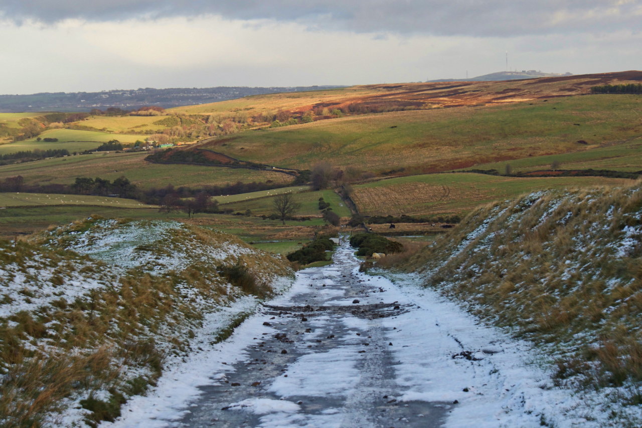
I saw the name on the map and I just knew I had to see. I had a few hours to kill in Durham so decided to drive up to the moors around the head of the Derwent Valley. The moorland around is bleak and lonely with just a scattering of farmsteads. So who was Nanny Meyer and why did she come to have an incline named after her? Well, Nanny Meyer was a 70 year old farmer’s widow who, with her sons, farmed 60 acres in Muggleswick which sounds like something from Harry Potter. The name on her gravestone in Muggleswick Church is given as Ann Mayor. Now, in 1832 work began on a railway to connect the limestone quarries at Stanhope with South Shields on the Tyne. By 1845 the Stanhope & Tyne Railway had reached the Stockton & Darlington Railway’s Weardale line extension at Waskerley. From Waskerley an self acting incline needed to be constructed; 1222 yards long with a gradient of 1 in 12. Self acting means that wagons loaded with the calcined limestone were lowered down the slope pulling up empty wagons by a very long cable. All this construction and operation needed a large workforce who were housed a thriving township at Waskerley. Nanny Meyer saw a business opportunity and diversified opening an alehouse in her farmhouse at the bottom of the incline. It is named as The Railway Inn on the 1861 Ordnance Survey map. The incline operated until 1859 when a longer but more gentler detour opened, presumably with cheaper operating costs requiring less manpower. Nanny Meyer died a year later in 1860. Just a ruined wall remains of her inn.

Leave a Reply