Month: July 2019
-
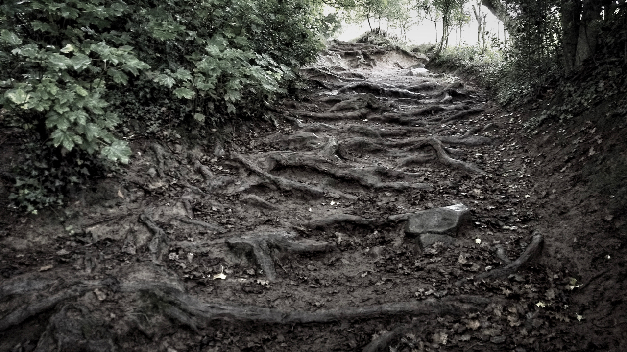
Wurzelweg
I keep a to-do list of words which I may find useful. I knew yesterday’s word was in it somewhere and it was while searching for that word that I came across another word that I had completely forgotten about. A word which, upon waking up to rain and low cloud, provided the inspiration for…
-
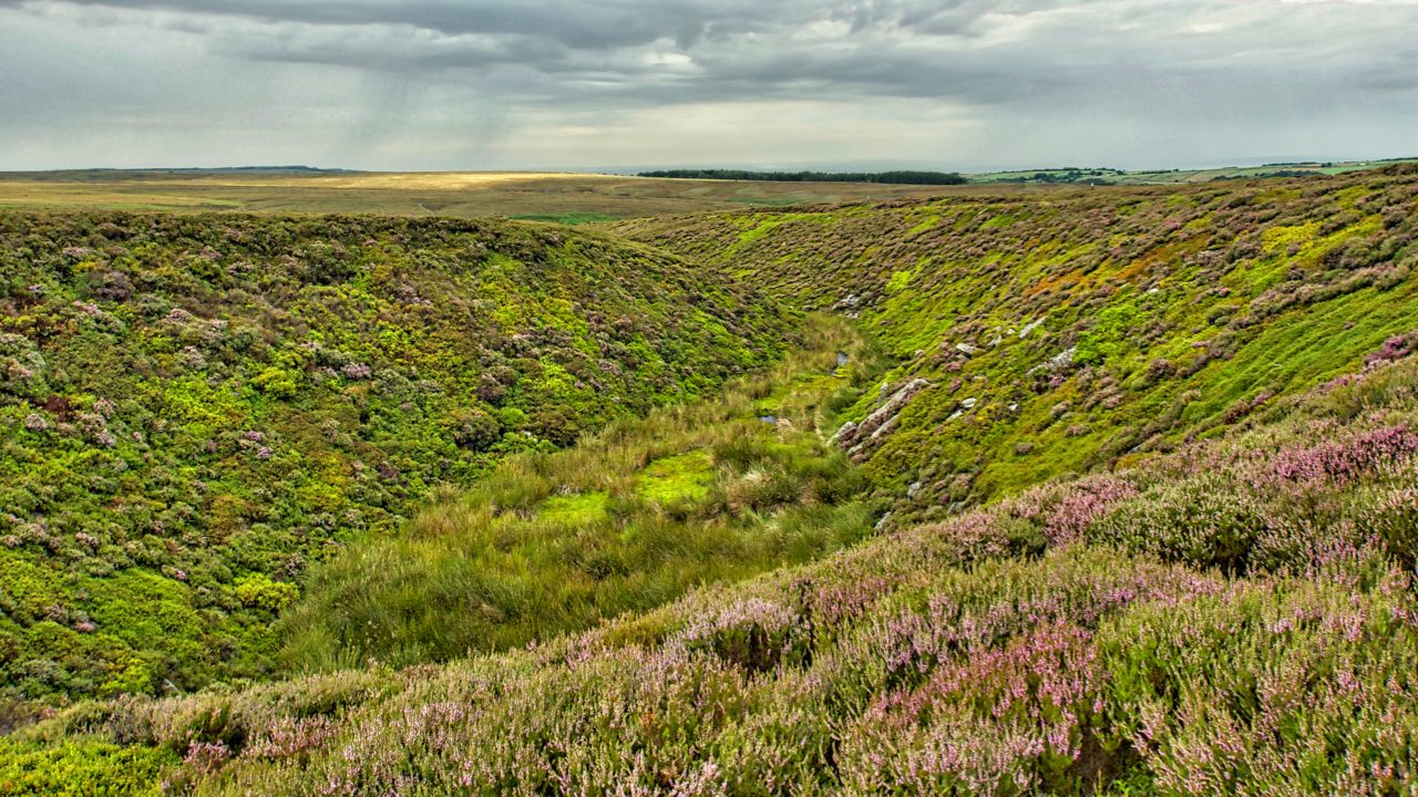
Holy Well Gill
Another trip onto Whorlton Moor. Second time in three days. I’m always fascinated by Holy Well Gill, an outflow from the glacial lake of Scugdale. Just a bit damp at the thalweg, a German word for the line following the lowest points of a valley. Open Space Web-Map builder Code
-
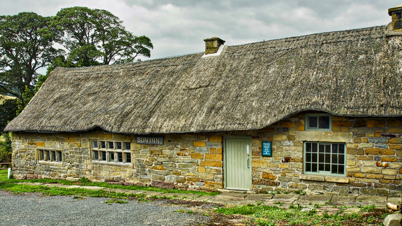
Spout House
On this day in 1914, Austria-Hungary declared war on Serbia, exactly one month after Archduke Franz Ferdinand of Austria had been assassinated by a Bosnian Serb nationalist. It was the start of a world war that would cost millions of lives. Also in that same year, ale was last served in the Sun Inn, just…
-
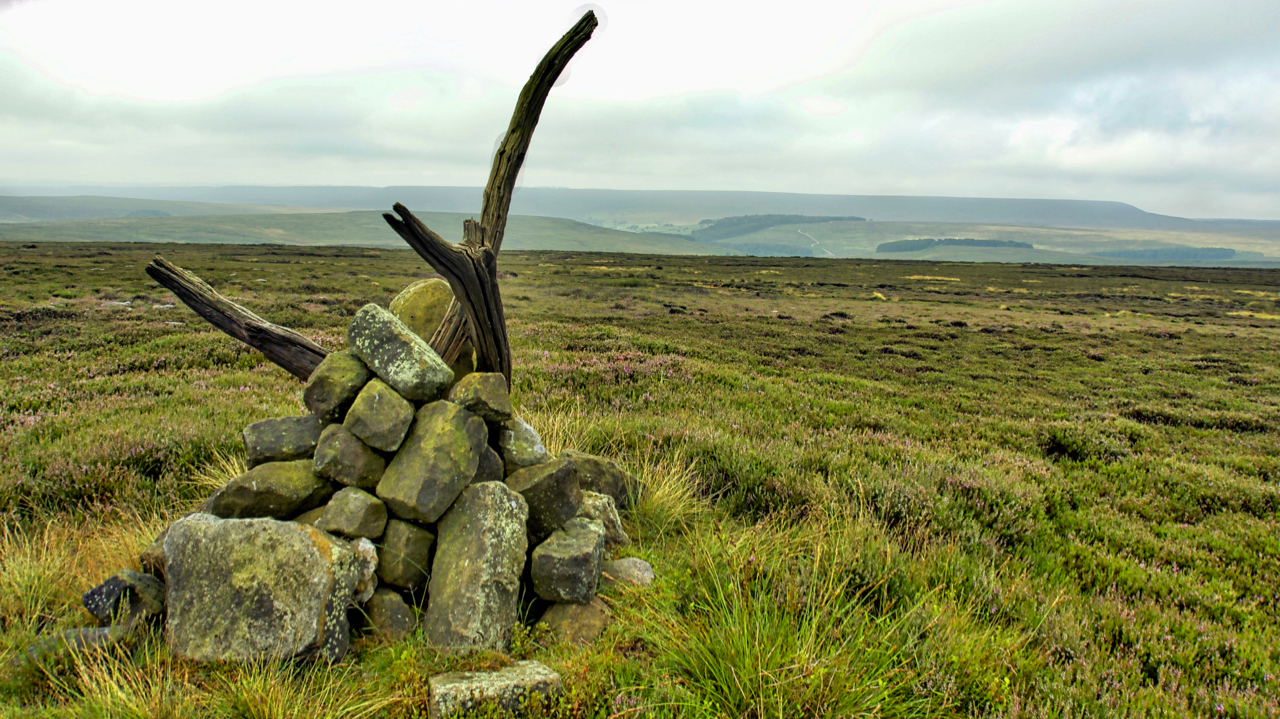
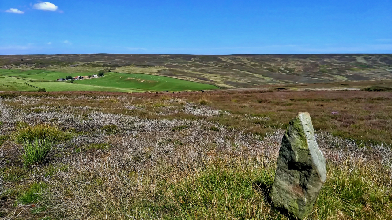
Prod Howe
An 18th-century boundary stone sited just above the 380m contour on Snilesworth Moor. A dull overcast morning marred by a confrontation with an irate gamekeeper. Soon after I had parked at Scugdale he drove up holding a dead pheasant accusing me of hitting it on the drive up the valley. Now I recall hearing no…
-
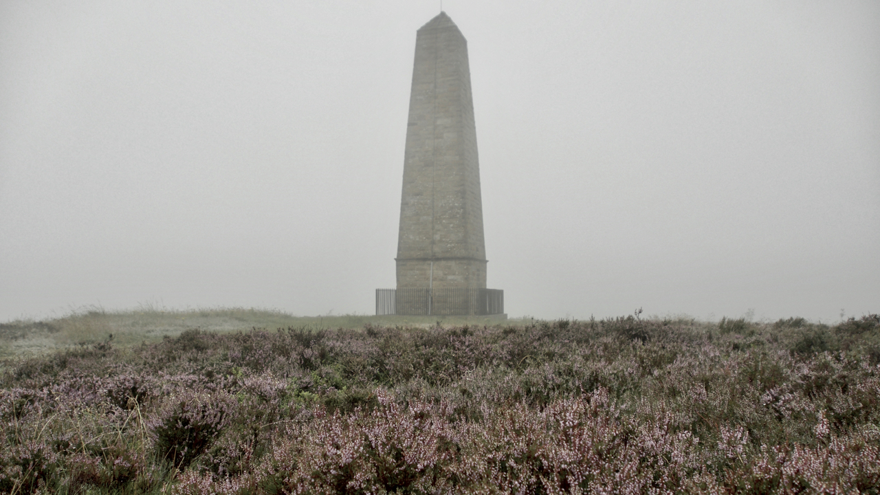
Capt. Cook’s Monument
A quick amble up to Capt. Cook’s Monument at the end of a very wet day. No chance of a sunset, still drizzling and cloud. But the ling’s looking good. Open Space Web-Map builder Code
-
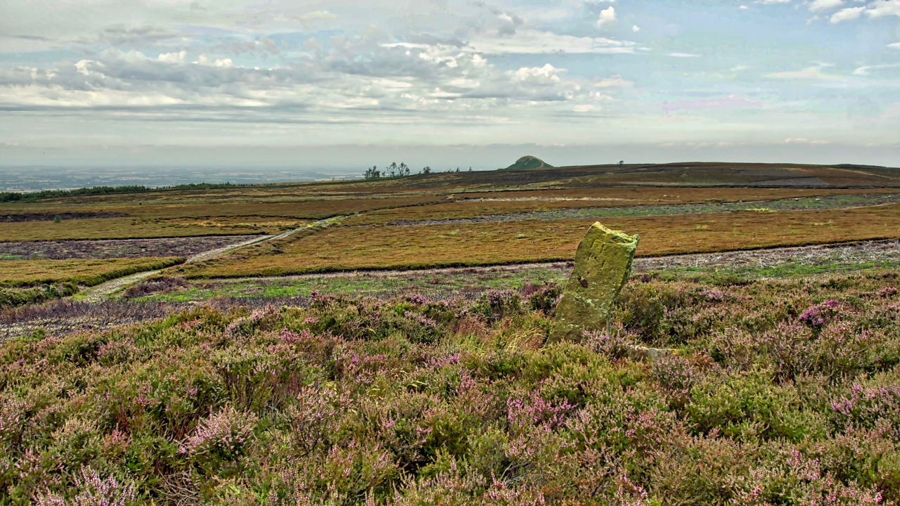
Newton Moor
The mosaic of a managed heather moor, managed to maximise the number of grouse. Heather is burnt to encourage young growth which the grouse feed on. Patches of tall old heather are left for nesting. Yet every square inch of land in the photo (beyond the boundary stone) is National Trust property. The heather was…
-
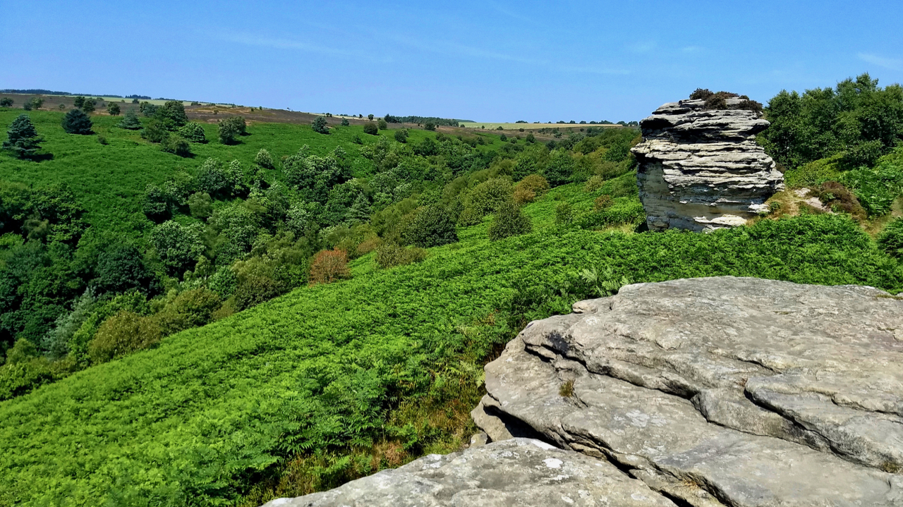
High Bride Stones
Out and about in the sun all-day catching butterflies and moths for a survey at the National Trust’s Dovedale and Bridestones property. Finds of the day were a Marbled White and a Dark green fritillary but both were not very co-operative for photography. This is the first time both species have been recorded on this…
-
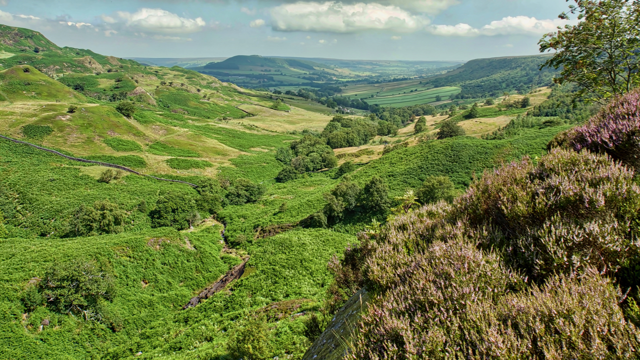
Great Fryup Dale
A hot and humid day. Felt stifling on the descent into the bracken infested Wood Head, the top of Great Fryup Dale. The ling is just beginning to come into bloom. Open Space Web-Map builder Code
-
19th Century guide post
The old Ordnance Survey map shows a footpath linking the farms of Wood End in Kildale and Sleddale. The footpath has long since disappeared but is evidenced by this waymarker across Kildale Moor. It is believed to be 19th-century. Open Space Web-Map builder Code
-
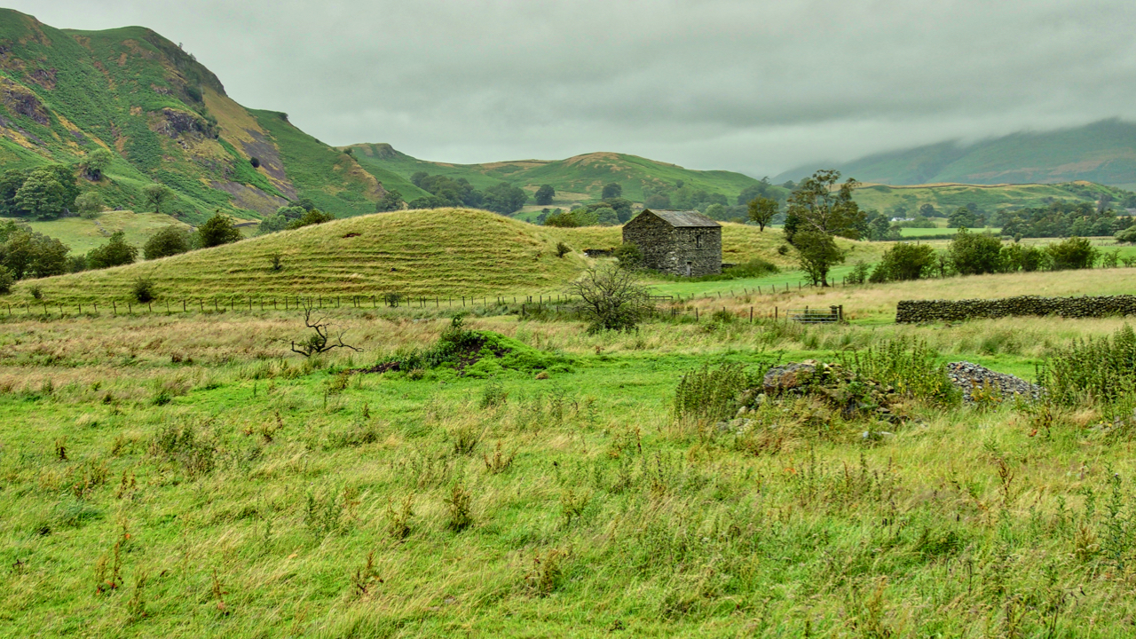
Esker, St John’s in the Vale
What seems an iconic Lakeland scene. A dry stoned wall barn nestling next to a knoll in fields of sheep pasture. And of course a mist-shrouded Skiddaw in the distance. The view is from the B5322 as it heads south through St John’s in the Vale towards Ambleside. What is of interest is the knoll.…