Category: Roseberry Topping
-
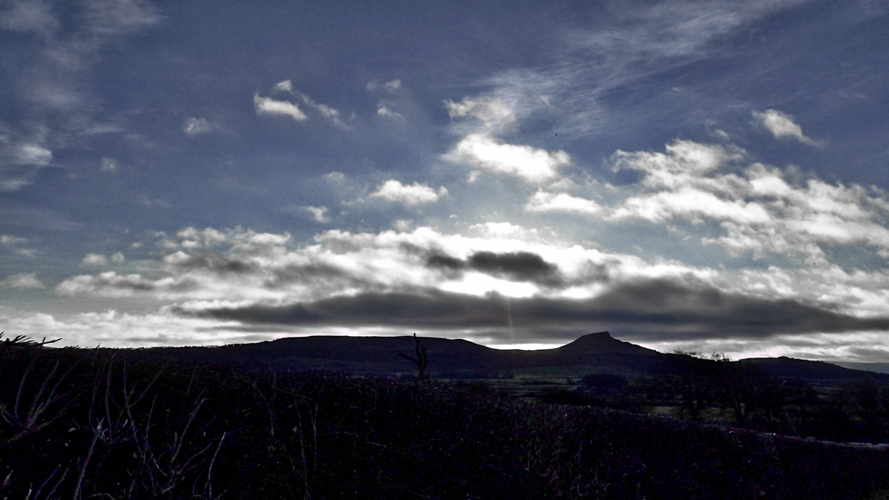
Roseberry skyline
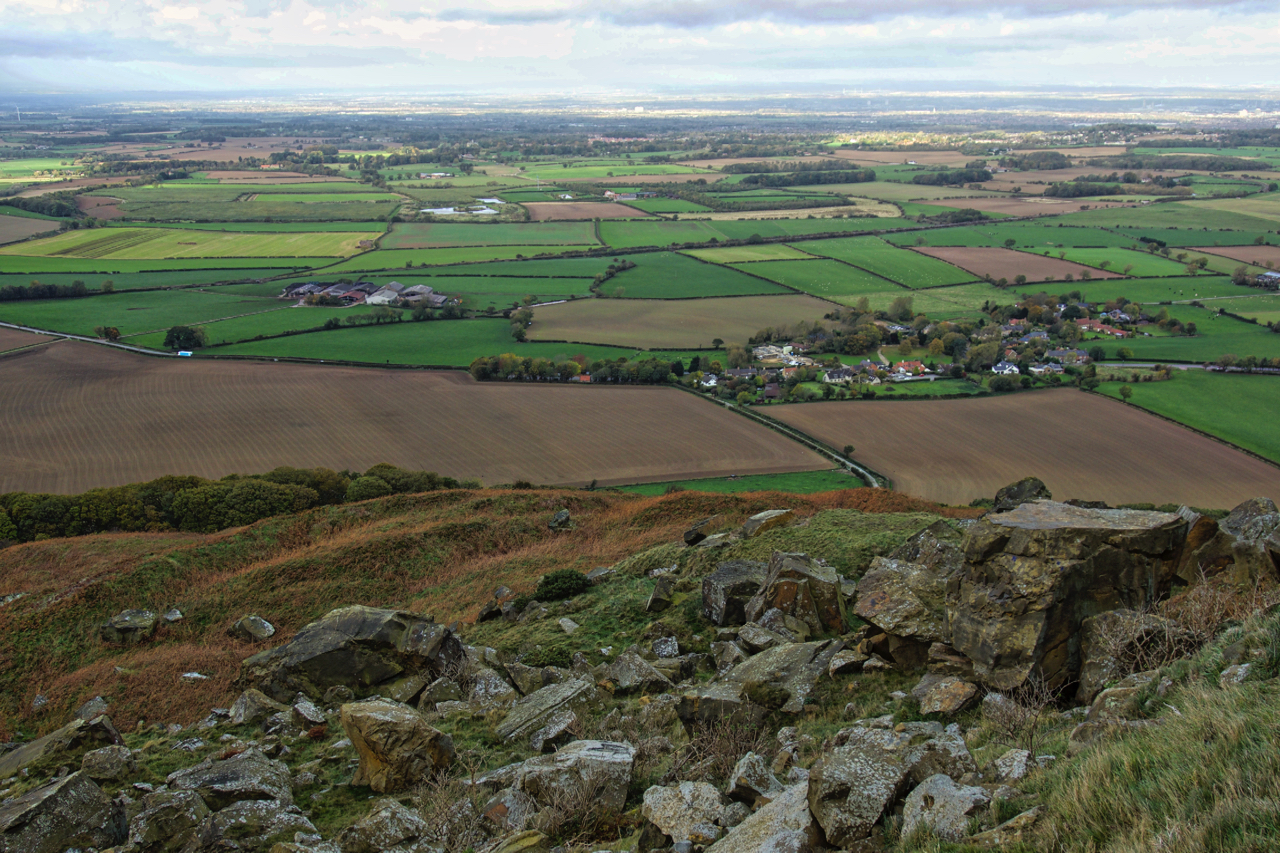
The farmland between the Eston Hills and Roseberry Topping is known as The Carrs, a name which has roots in the Scandinavian kjall meaning a water meadow with scattered trees of alder or willow. The modern Ordnance Survey map names it merely as The Flats, and it is indeed flat. But it made a change,…
-
St. Thomas’s Day
December 20th, the feast of St. Thomas, or Doubting Thomas as he is sometimes referred because he doubted Jesus’s resurrection, was a bit of a special day for Yorkshire folk. The Rev. Atkinson in the 19th-century wrote of the custom of children going a-Thomassing, that is visiting houses on this day and asking for Thomas’s…
-
Airy Holme Lane
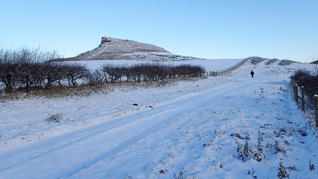
Finally it snew overnight. No, that’s not a typo, just the archaic past tense of the word snow. Just as knew and know, and grew and grow. I love to resurrect these lost words. The snow has transformed this photo of Airy Holme Lane, the Public Bridleway that runs between Aireyholme Farm and the col…
-
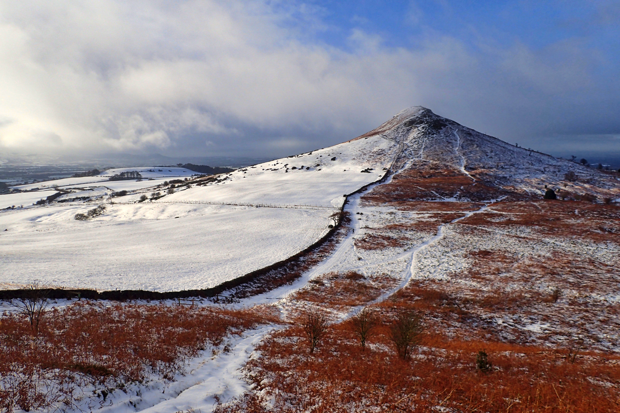
A Simmer Blink
I had lain in bed before dawn listening to the rain on the roof. On the garden two inches of slushy snow. A forecast of more rain. Not very inspiring. Even the dog kept her head down refusing to look at me. A cold, sloppy run up into the clag. But the day was brightening,…
-
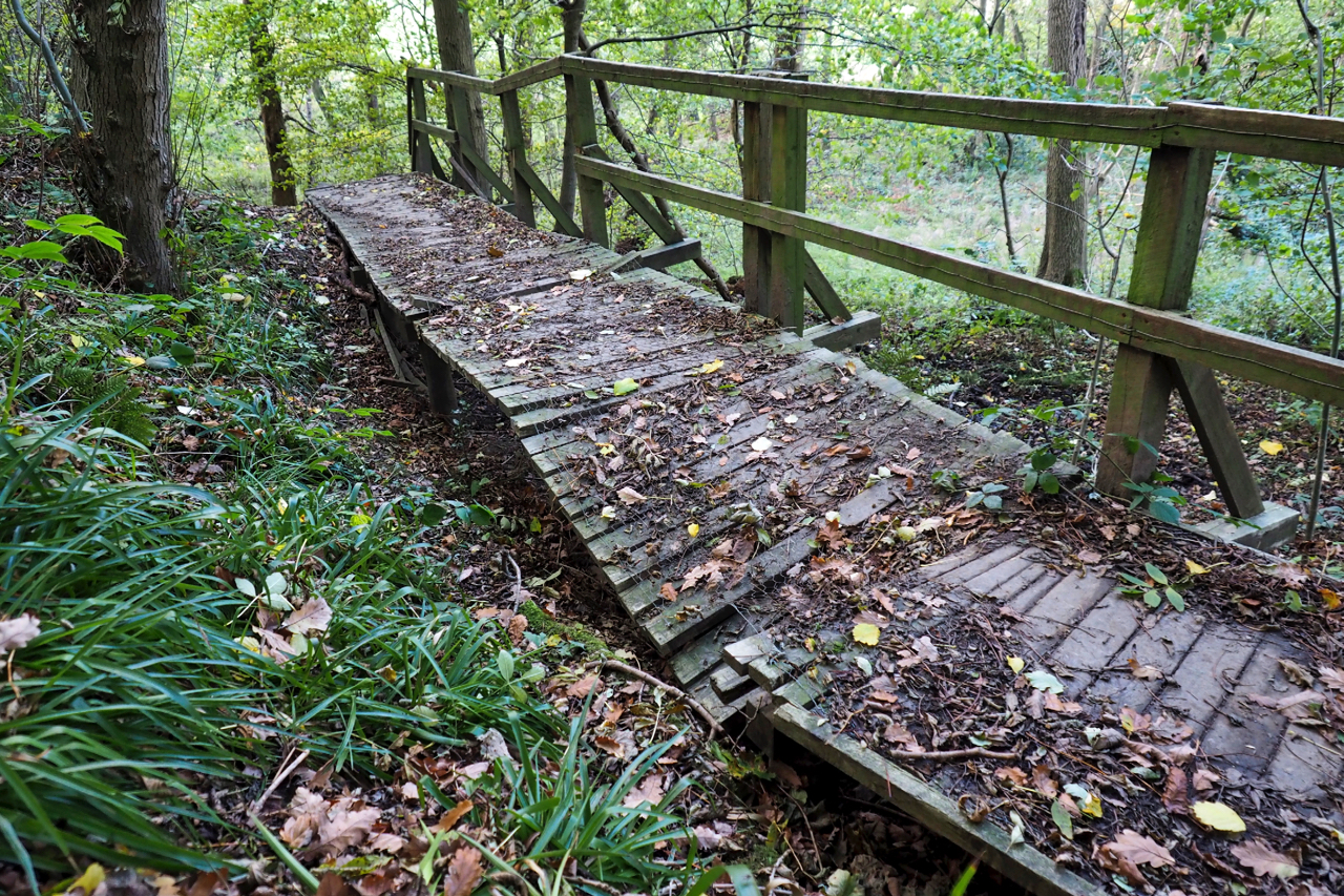
Damaged walkway in Newton Wood
Who did this then? A 500kg horse maybe?
-
Newton-under-Roseberry
The village below Roseberry from which it takes its name although in the 19th-century it was often referred to as Newton-in-Cleveland. There is a suggestion however that it was originally called Newton-under-Othenesberg which evolved to Newton-under-Roseberry with the slurring of the ‘r’. The ton suffix in Newton derives from the Anglo Saxon meaning a farm…
-
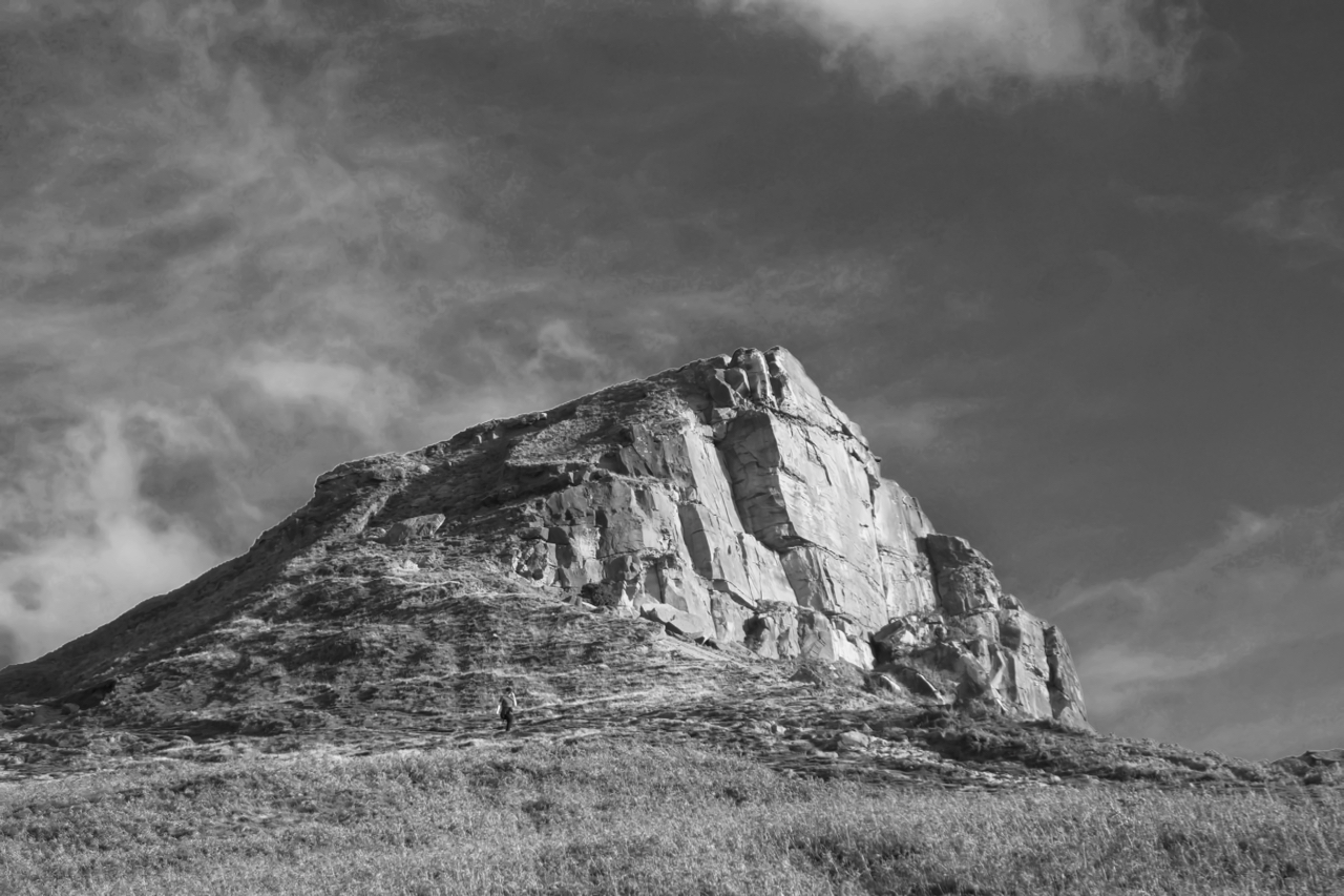
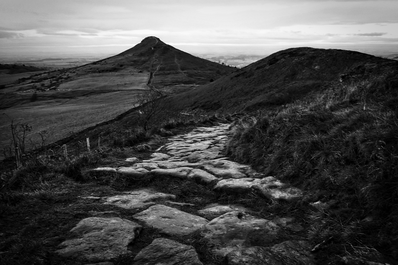
Odin’s Hill
Roseberry looking benign but on the summit, I could barely stand upright and as hurricane Ophelia passed us by, the bloody sun finally giving way to blue skies. Open Space Web-Map builder Code
-
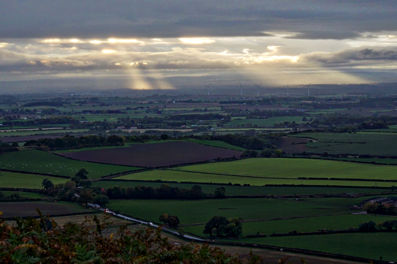
Crepuscular rays shining on Yarm
I’d banked on a good sunset but the rain came, should have read the forecast. Still somewhere was in the sun. Yarm I reckon. The wind farm is between Hilton and Seamer. Taken from the northwestern flank of Roseberry. Crepuscular comes from the Latin crepusculum, which means twilight, the time when these sun rays beaming…
-
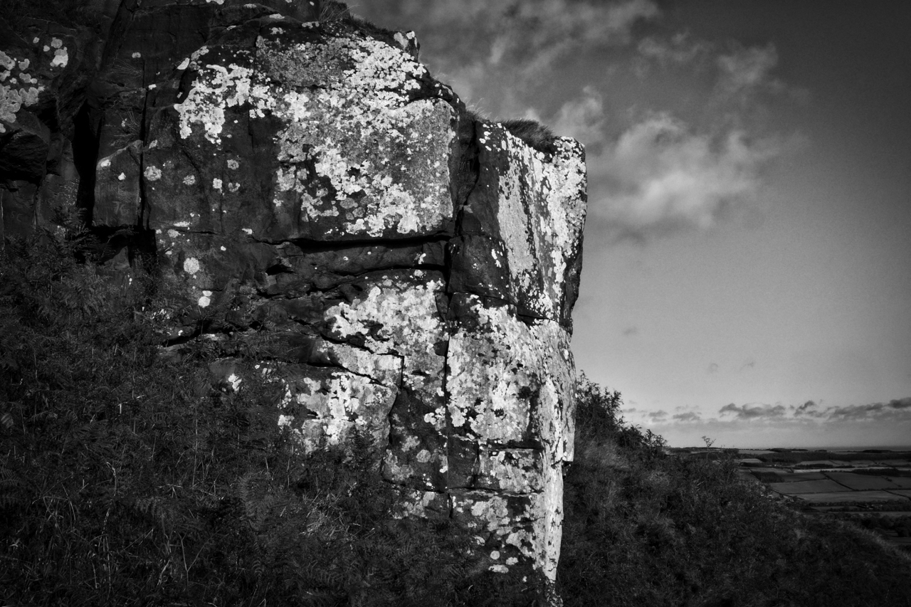
Roseberry’s eastern crag
Rendered in black and white this photo contrasts the lichen-covered rocks of Roseberry’s eastern crag. Lichens are everywhere yet are often overlooked. They thrive in a variety of environments, are long-lived with a very slow growth rate but are sensitive to moisture, pH, minerals and air quality. They are actually two organisms, a fungus and…
-
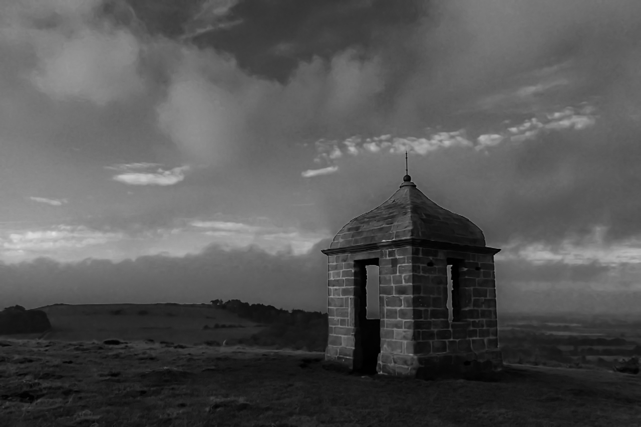
The Summerhouse
An early morning view of the Summerhouse, presided over by Roseberry since it was built over 250 years ago. It once had a white finish and plastered inside with a suspended ceiling although these had probably disappeared when it was used as a billet for local militia manning the beacon on Roseberry summit during the…