Category: Greenhow Botton
-

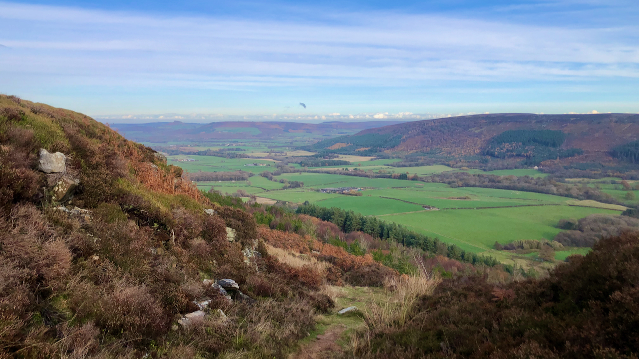
Jackson’s Bank
A cold morning with the puddles covering by a skimpy layer of brittle ice, the first of the winter. This is looking down on Greenhow Bottom from the top of Jackson’s Bank. I would love to find out who Jackson was. He is elusive but certainly lived before the first Ordnance Survey was published in 1857.…
-

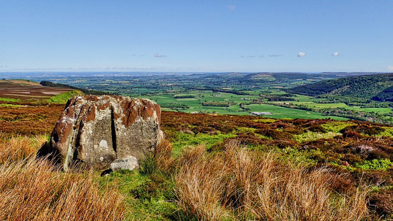
Greenhow Botton
That deep embayment at their western extremity, Greenhow Botton, around which the moors attain their greatest elevation of nearly 1500 feet, is perhaps the most remarkable feature of the hills. The Botton lies almost a mile to the south of the line of the main range of uplands and has remarkably steep and precipitous sides…
-

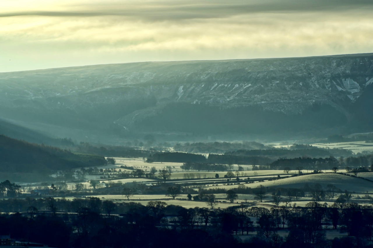
Greenhow Burton
A crisp cold magical morning to climb Roseberry. Fleeting breaks in the clouds allow the winter sun to reveal the frosty fields of Greenhow Bottom. Sometimes mapped as Greenhow Botton, the name derives from the Old Norse ‘botn‘ meaning a bottom or depth such as the innermost recesses of a dale. The oldest Ordnance Survey…
-

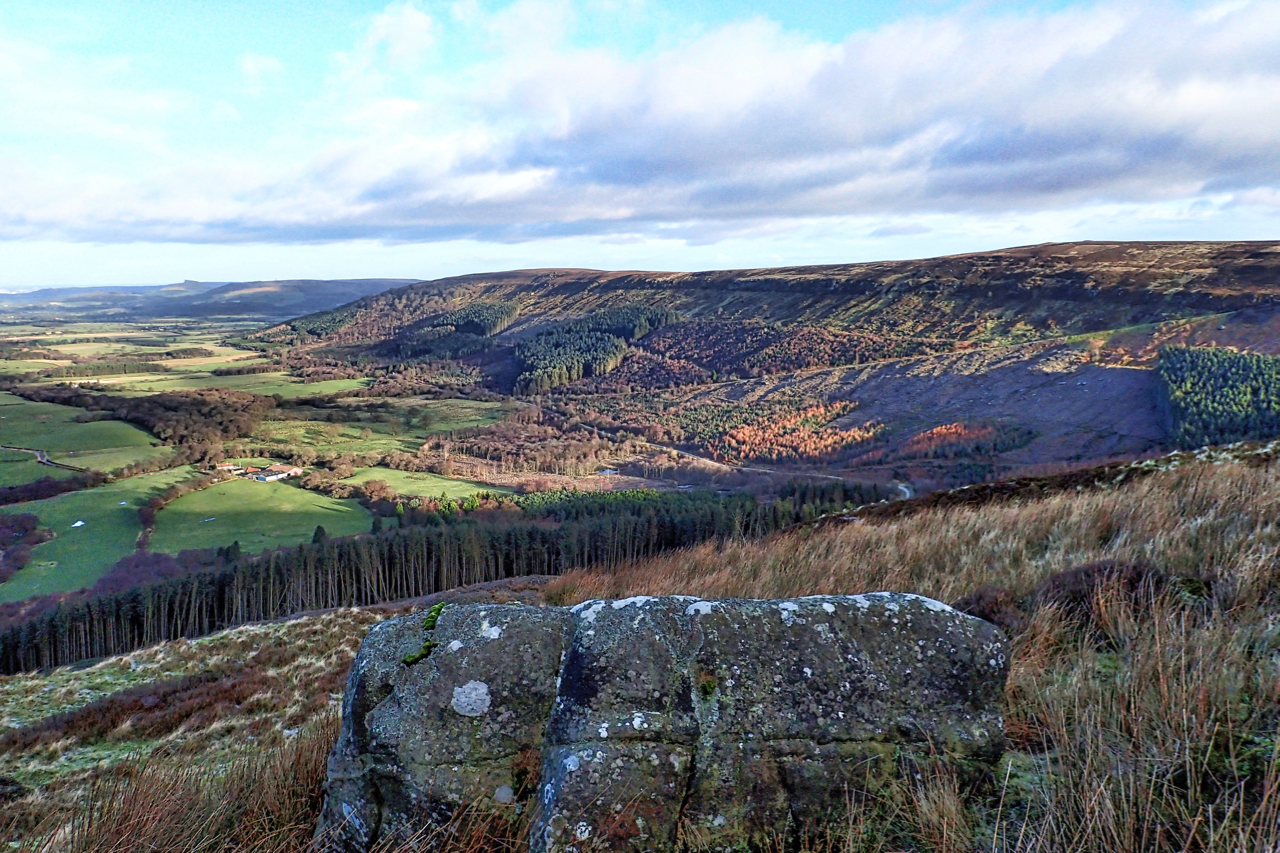
Botton Head, site of a WW2 air crash
Climbed Botton Head onto Greenhow Moor in search of the site of a WW2 air crash. On 21 October 1940 an Armstrong Whitworth Whitley Mk. V was returning to its base at RAF Linton on Ouse, just off the A19 north of York, from a raid on the Skoda factory in Czechoslovakia, crashing into the…