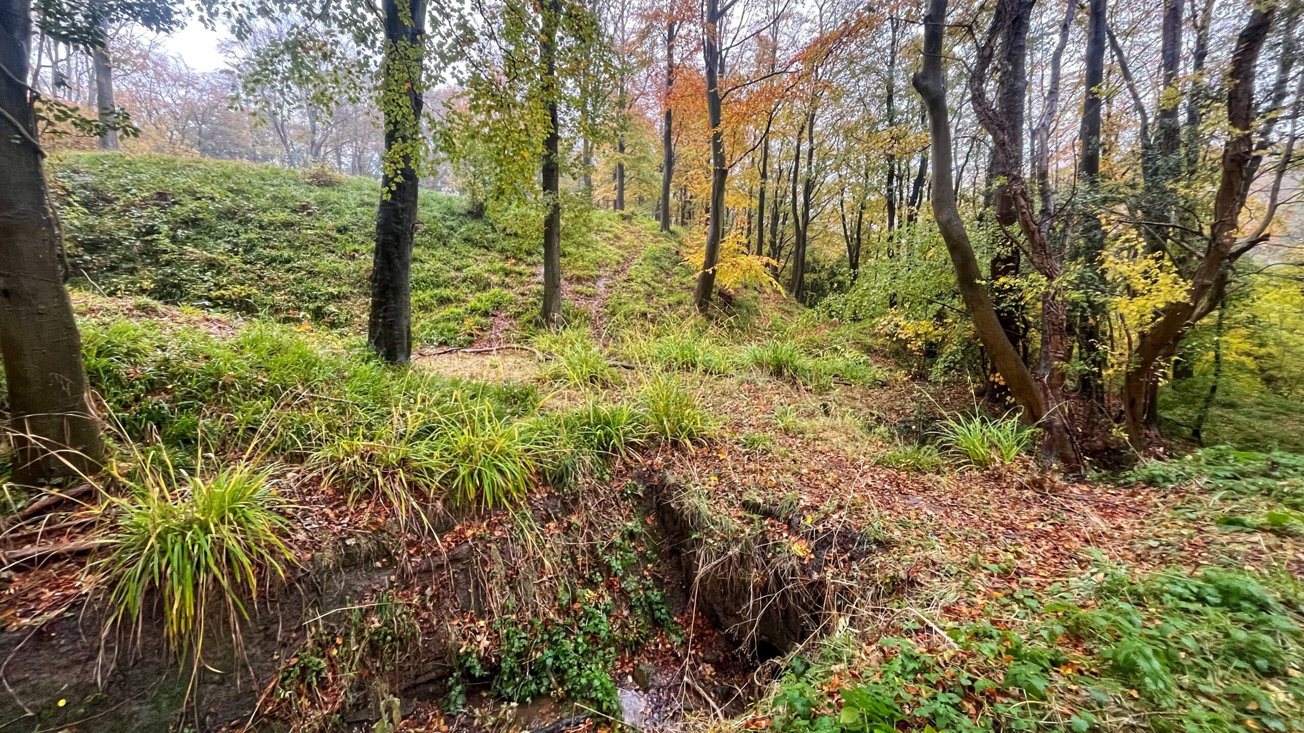
An 11th-century motte-and-bailey castle, and part of last Sunday’s itinerary. I don’t get to visit often, so it felt worth posting while it’s still fresh in my memory. Scramble to the top of that bank on the left, and you’ll find a clearing of grass, rushes, and leaf litter. This is the motte. An information board at the foot describes the deep surrounding ditch, partly infilled over time 1Mulgrave Estate and Forestry Commission information board, “Foss Castle”, text and graphics by Ed Dennison Archaeological Services Ltd.. It’s an underwhelming sort of ruin, asking nothing of you.
The motte, according to that information board, measures some 50m across and stands up to 5m high. A bank around the flattened top marks the remains of a palisade, while a raised area on the north-east side marks a tower. I failed to notice either of these. The tower would have housed the main accommodation. Other slight earthworks suggest detached buildings, perhaps a hall and kitchen. Everything was built in timber, though some may later have been replaced in stone. On the south-west side the bailey sits directly above a steep gorge, where no defences would have been needed.
The board says the castle is usually called Foss Castle after the nearby ruined Foss Mill, and is sometimes called Lythe Castle. The first Ordnance Survey map of 1853 names the mill “Force Mill“, while its 1913 survey reproduced on the board relabels it “Foss Mill“. Nigel Fossard built the castle in the early 1070s, soon after the Norman Conquest. He was a major landowner with extensive estates and several castles across Yorkshire and elsewhere, and this one served as his administrative centre for the region. The mill won the naming rights, though the maps disagree on how to spell it.
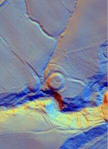
The Normans may have been tenants of an older settlement. The LIDAR survey, which maps the ground beneath the woodland, has revealed possible traces of an earlier sub-circular enclosure under the mound. The triangular bailey to the north-west may reuse an Anglo-Saxon enclosure, and Lythe church holds hogback grave markers dating to the 8th to 10th centuries.
Foss Castle fell out of use in the early 13th century. A stone castle, now known as Old Mulgrave Castle (q.v.), went up on the ridge further east across the Sandsend Beck valley, offering greater protection and room to expand. The board names Robert de Turnham, a seasoned soldier with royal connections, or more likely his successor Peter de Mauley, as the builder. Robert had married Joan Fossard, who took ownership of the estates in 1195. Well under two centuries of service, then, followed by replacement with something larger.
No modern archaeological survey or excavation has taken place, although some selective woodland thinning has. Some earthworks may result from diggings said to have been made before 1817, and the board states that nobody knows what, if anything, they found. The remains are important precisely because the move across the valley has left them undisturbed by later activity. Neglect preserves more than care ever manages.
The castle would have stood in a more open landscape when first built. Semi-natural ancient woodland now covers it — the woodland cover can be dated to the 1600s.
- 1Mulgrave Estate and Forestry Commission information board, “Foss Castle”, text and graphics by Ed Dennison Archaeological Services Ltd. ↩︎
Leave a Reply