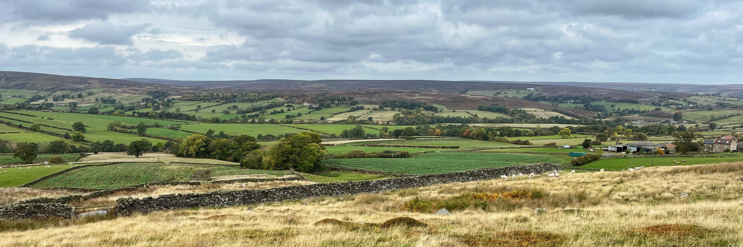
Cropping the photo brings out the full breadth of the dale. Tower Beck flows from left to right through this eastern prong of Westerdale, with the village of that name perched on the rise at the far left. Barwick House stands in ruins just left of centre, while a small wood screens Kirk Syke beside it. Quarry Farm, once known as Hinging Stone, completes the scene on the right.
Today this is Westerdaleside. A record of 1546 calls it Barwykerowe, a name that points to a berwick, an outlying area where crops were grown or stored for the lord of the manor. A local historian suggests the row of farmsteads here was the manor’s barley wick.
The field names on the Tithe map confirm it. North Flatt and Flatting Close mark land enclosed from the common field, and Two Days Work records the time needed to plough it, a measure of labour owed to the lord. Ridge and furrow survive.
Barwick House is an 18th-century ruin, yet its site is believed to be medieval or earlier. A deep holloway still runs from it down to the ford at Tower Beck. Kirk Syke keeps its secret: the name may mean glebe land or a field chapel, but nothing settles the matter.
Source: Wilson, Carol. “Westerdale: the origins and development of a medieval settlement.” Chapter 4 The Common Fields and Other Land Use. Page 33-37. North York Moors Association. 2013.
Leave a Reply