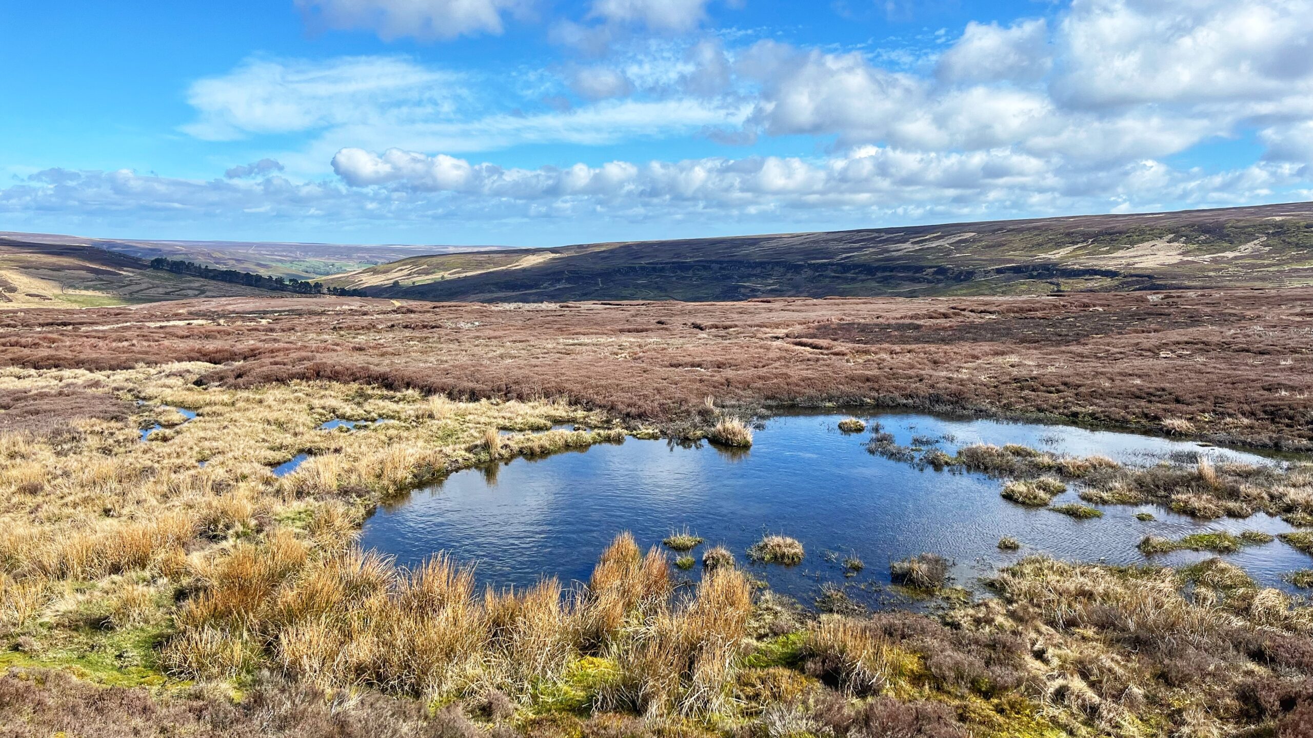
Humanity is like a persistent rash, always there and difficult to ignore. We’ve been reshaping the world to fit our needs for a very long time, demonstrating our enduring desire to adapt and make things our own. During the Mesolithic period, this high moorland plateau of Esklets was not a dry waste; it featured small ponds that acted as a magnet for ancient life1Waughman, Mags. North East Yorkshire Mesolithic Project Phase 2. Final Report. Tees Archaeology, February 2012. TA12/02. Page 35.. The peat layers here stretch back to the early Holocene, proving our species has been lingering in the mud for millennia2Ibid.. These early people were fond of fire and burned the woods well before the local elms began to die3The elm decline is a critical marker in the archaeological record, traditionally used to define the boundary between the Mesolithic and Neolithic periods. It marks a permanent shift in the landscape.4Waughman, Mags. North East Yorkshire Mesolithic Project Phase 2. Final Report. Tees Archaeology, February 2012. TA12/02. Page 21..
Archaeologists once claimed these groups were just passing through. They may have been wrong. Evidence suggests Esklets with the adjacent White Gill likely form one vast, continuous occupation zone5Mags Waughman (2017) Hunter-Gatherers in an Upland Landscape: The Mesolithic Period in North East Yorkshire, Yorkshire Archaeological Journal, 89:1, 1-22, Page 12. https://doi.org/10.1080/00844276.2017.1333333. The old theory of the “seasonal hunting camp” does not fit the facts6Ibid. Page 16.. In fact, the environmental record is so detailed that it can now predict where flint tools remain buried in the soil.7Waughman, Mags. North East Yorkshire Mesolithic Project Phase 2. Final Report. Tees Archaeology, February 2012. TA12/02. Page 35/6..
The past is a stiff upper lip that finally cracked. If we can predict the location of ancient tools simply by looking at where a pond used to be, what else is the landscape hiding from our modern, distracted eyes?
- 1Waughman, Mags. North East Yorkshire Mesolithic Project Phase 2. Final Report. Tees Archaeology, February 2012. TA12/02. Page 35.
- 2Ibid.
- 3The elm decline is a critical marker in the archaeological record, traditionally used to define the boundary between the Mesolithic and Neolithic periods. It marks a permanent shift in the landscape.
- 4Waughman, Mags. North East Yorkshire Mesolithic Project Phase 2. Final Report. Tees Archaeology, February 2012. TA12/02. Page 21.
- 5Mags Waughman (2017) Hunter-Gatherers in an Upland Landscape: The Mesolithic Period in North East Yorkshire, Yorkshire Archaeological Journal, 89:1, 1-22, Page 12. https://doi.org/10.1080/00844276.2017.1333333
- 6Ibid. Page 16.
- 7Waughman, Mags. North East Yorkshire Mesolithic Project Phase 2. Final Report. Tees Archaeology, February 2012. TA12/02. Page 35/6.
Leave a Reply