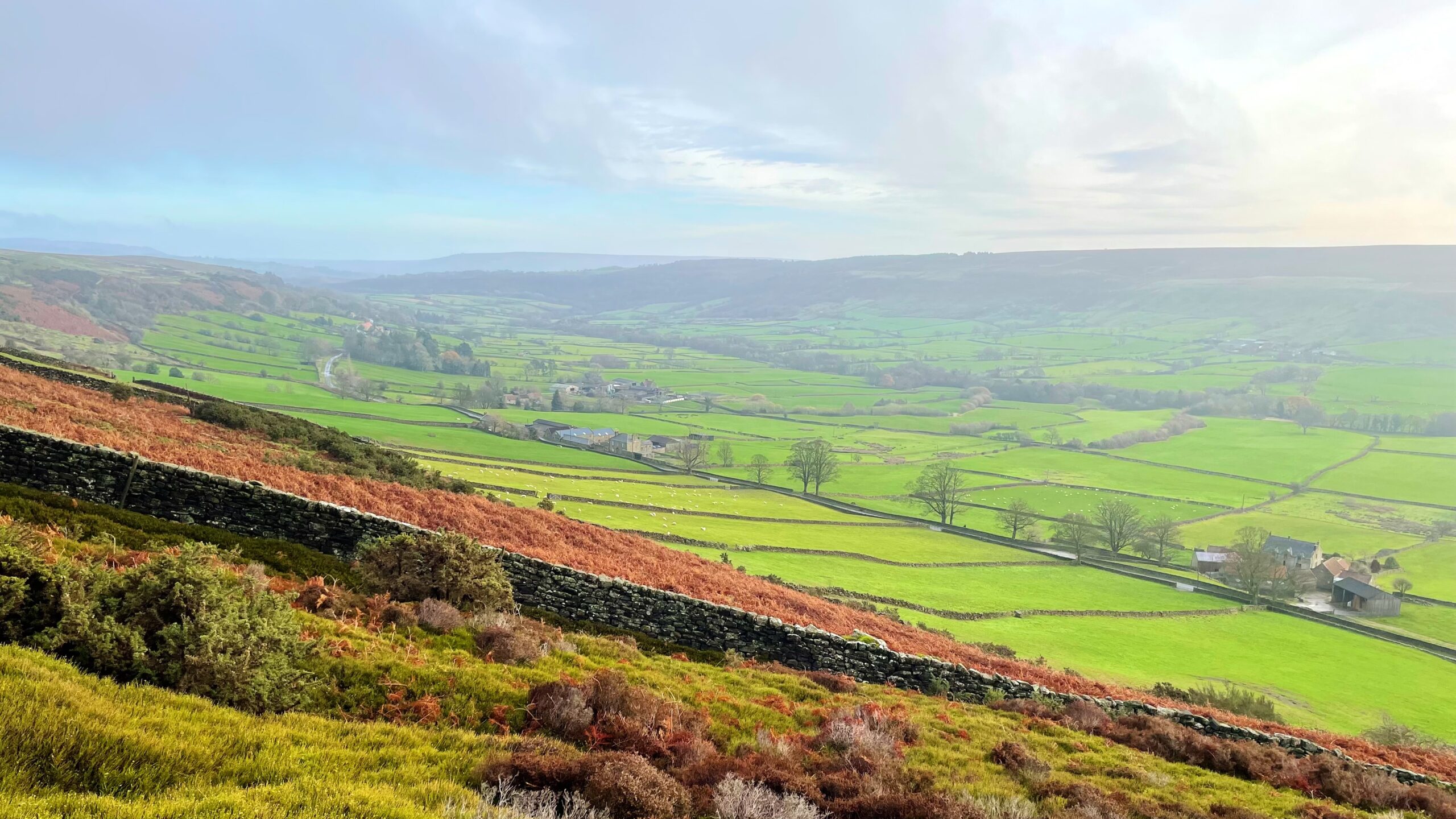
Glaisdale began life as a quiet township within the parish of Danby, its name shifting through the centuries as Glasedale and Glacedale. Records from 1223 already linked it with the broad sweep of Glaisdale Moor, giving a sense of a place long settled into its landscape.
For much of its history it has been a rural dale of small farms, scattered across the slopes with the usual calm that comes of livestock and weather. Then the nineteenth century arrived with all the subtlety of a thunderclap. Around 1864, iron furnaces rose at Glaisdale End and the once modest cluster of dwellings swiftly became a closely built and bustling village. By 1874 the South Cleveland Iron Works Company had men working the mines and a hundred of them drew their wages from the dale. The furnaces have long since been dismantled and the mining has faded, but for a short time the valley rang with industry.
Geologists of the day were convinced that the iron-bearing strata ran evenly across the northern Moors, so hopes were high when a shaft was sunk at Glaisdale in search of the Pecten and Avicula seams known to sit just beneath the surface at Grosmont. The seams did appear, though not obligingly near the top. They lay some seventy metres down. Mining began in the mid 1860s and an ironworks was built north of the River Esk, opening its doors in 1869. Two more mines followed in about 1870, one on Post Gate Hill above the moor wall and another across the valley at Wintergill. These sought the higher Top Seam and the Ellerbeck Seam.
Wintergill’s ironstone was carted around the dale, but the route from Post Gate Hill was a marvel of ambition. A tramway was constructed that ignored the gentle line of the modern road and instead climbed sharply on to Glaisdale Rigg, almost certainly with the help of a stationary steam engine. From there it ran along the Rigg on banks and cuttings before dropping towards Glaisdale End, plunging through a tunnel beneath the village and crossing the River Esk on a trestle bridge to reach the furnaces. Locals claimed that patrons in the Mitre could hear the rumble of carts passing under their feet.
The enterprise was bold, but the ironstone was disappointing. By 1876 every mine had closed and the ironworks had fallen silent. Little now remains to show how this quiet dale was briefly reshaped into an industrial scene before returning to its present tranquillity.
Sources:
- “Parishes: Glaisdale”. A History of the County of York North Riding: Volume 2. Ed. William Page (London, 1923), British History Online. Web. 8 December 2025. https://www.british-history.ac.uk/vch/yorks/north/vol2/pp348-351.
- “Glaisdale Land of Iron”. Paul Wood. Involved Extra — Newsletter of the North York Moors Volunteers. Undated but pdf created 29 April 2020.
- Tuffs, Peter. “Catalogue of Cleveland Ironstone Mines”. Cleveland Ironstone Series. 1996.
- “The North York Moors Landscape Heritage”. Edited by D.A.Spratt and B.J.D.Harrison. David & Charles. 1989. ISBN 0 7153 93472.
- “Wintergill Ironstone Mine”. Hidden Teesside. https://www.hidden-teesside.co.uk/2011/03/21/wintergill-ironstone-mine/ [Accessed 8 December 2025]
Leave a Reply