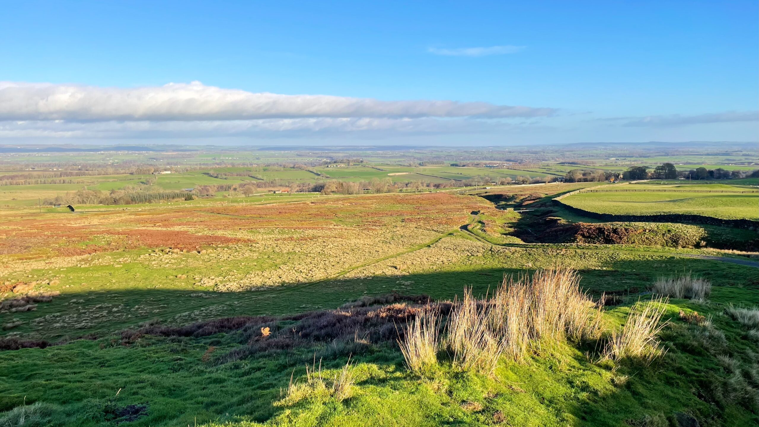
Barningham Moor lies high in the Northern Dales between the Swale and the Tees, a stretch of upland that most travellers notice only as a vague rise on the horizon while speeding along the A66. I have passed it for years without realising there was anything remarkable up there at all.
From its upper slopes, on a day less hazy than the one we had this morning, although that was super, the view is said to reach as far as Durham Cathedral. Yet the moor’s real distinction lies in its archaeology, grouse shooting notwithstanding. The first serious study of the area began more than half a century ago, triggered by the identification of a cup-and-ring marked rock. That find helped open the door to a wider understanding of the early landscapes of the north-eastern Pennine Dales.
Since then, researchers have uncovered a rich spread of features across Barningham Moor and its neighbours, showing that the Bronze Age left a deep imprint here. The moor holds numerous rock art sites, a stone circle, clusters of ring cairns and several imposing burial cairns. At least two burnt mounds have also been recorded. The whole upland is viewed as an “aggregation area” for lithic finds, suggesting that prehistoric groups returned again and again.
I lacked the time to seek out these traces for myself, though they paint a vivid picture of sustained human presence. They point especially to ritual and funerary practices carried out on the high ground by later prehistoric communities, most notably during the Bronze Age.
There is evidence, too, that the story reaches back far further. Mesolithic hunter-gatherers are believed to have roamed these uplands during the summer months, using river corridors to travel between the Pennine interior and settlements on the coast or along the estuaries.
Further information:
- Laurie, T.C. Researching the prehistory of Wensleydale, Swaledale and Teesdale. Yorkshire Archaeological Society Occasional Paper No. 3. 2003.
- Petts, David with Christopher Gerrard. Shared Visions: The North-East Regional Research Framework for the Historic Environment. Durham County Council, 2006.
Leave a Reply