Category: North York Moors
-
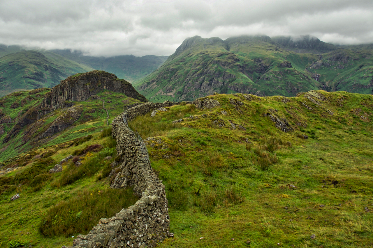
Side Pike
A small knoll at the western end of Lingmoor Fell. Across Great Langdale, the Langdale Pikes flirt with the cloud base. Open Space Web-Map builder Code
-
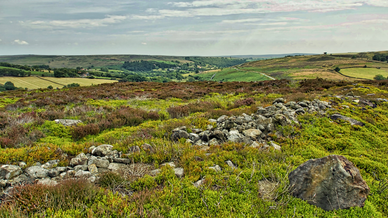
Crown End
A run from Kildale to Castleton. Took a slight detour to look at the ancient bronze age settlement remains on Crown End of Westerdale Moor. The end is a spur, due north of the village of Westerdale at a height of 236 metres. Plenty of humps and bumps and a bits of rocks but not…
-
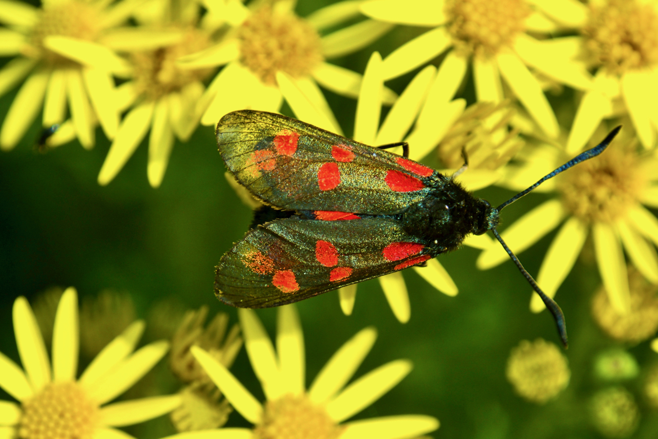
Five-spot Burnet moth
A fairly common but striking moth, photographed here on Stinking Willie or the Common Ragwort. Common Ragwort is one of Britain’s much-maligned wildflowers. Supposedly toxic to horses and cattle but the plant is generally ignored by grazing animals. The problem occurs when ragwort gets mixed in hay for winter feeding. On the other hand, ragwort…
-
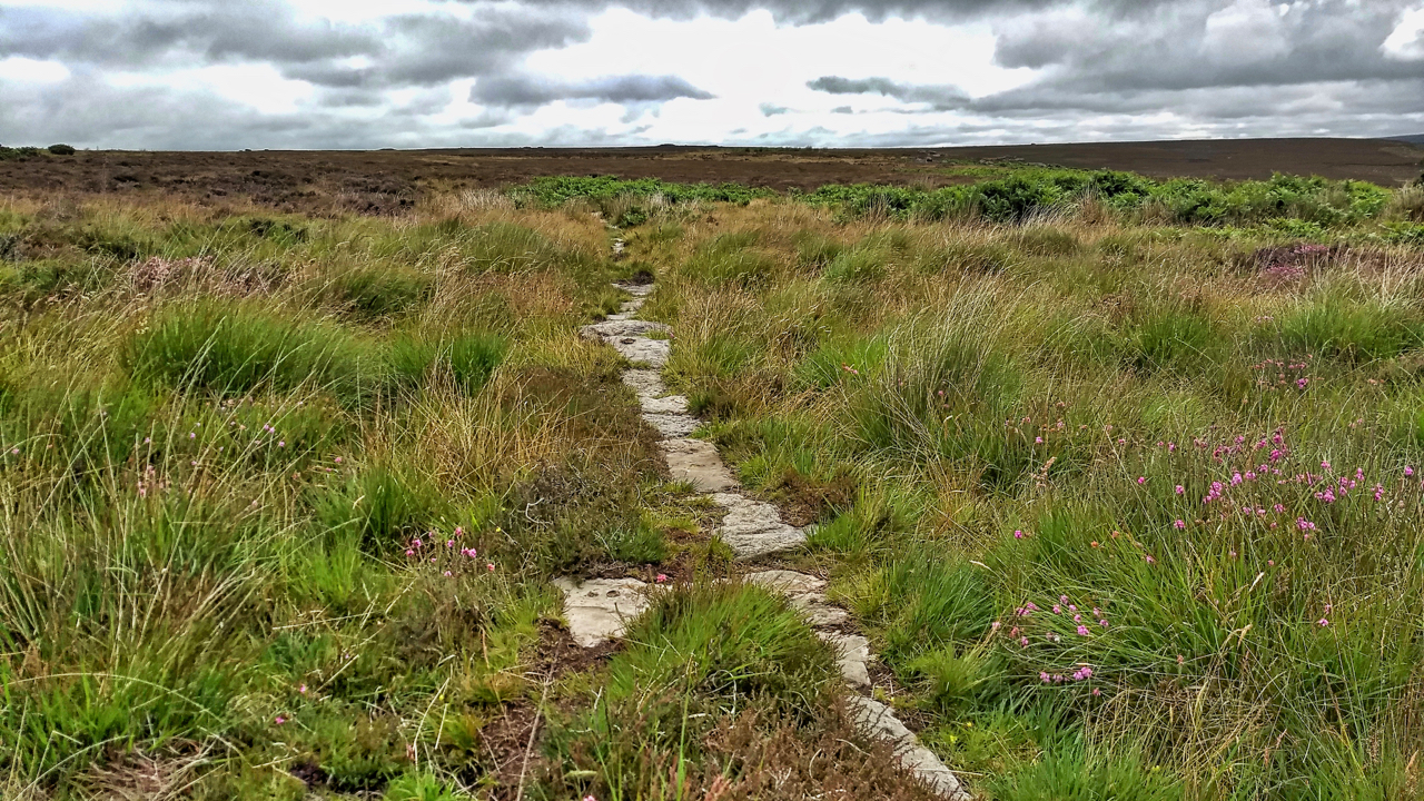
Post medieval trod from Stokesley to Whitby
I stumbled across this today quite by accident. A small section of a stone trod running parallel to and about 20 metres from the Commondale to Three Howes Rigg modern road. It is recorded on the NYM NP Historical Environment Records (HER) map as “a section of the post-medieval trod or trackway from White Cross…
-
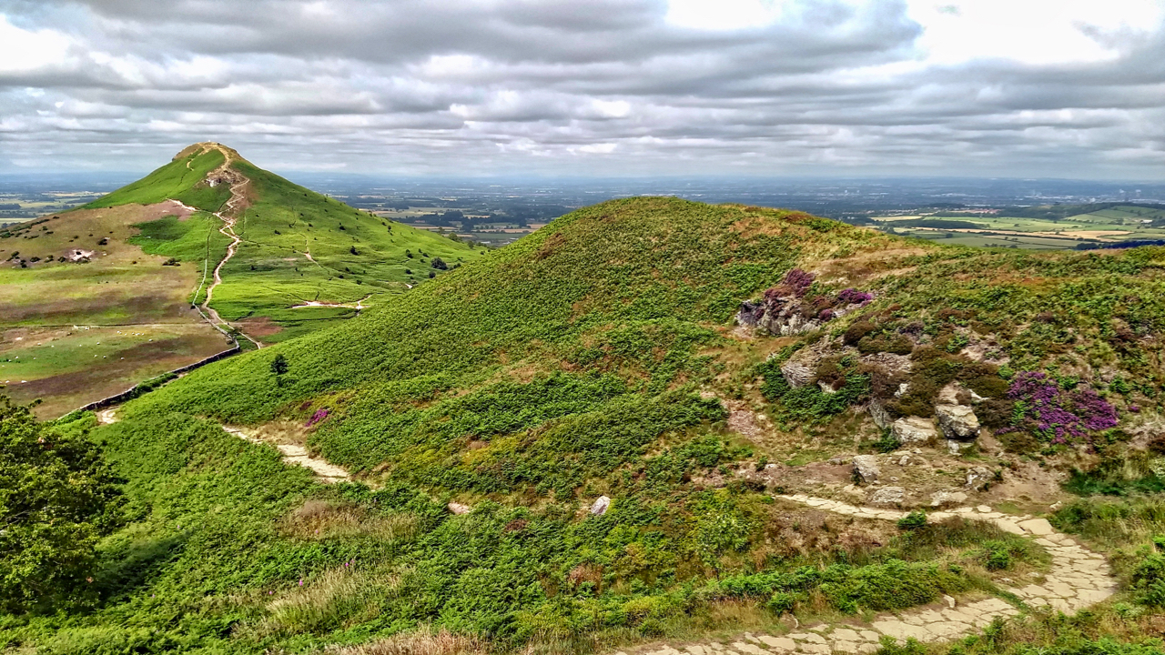
Hey, it’s good to be back home again
So the John Denver song goes. Open Space Web-Map builder Code
-
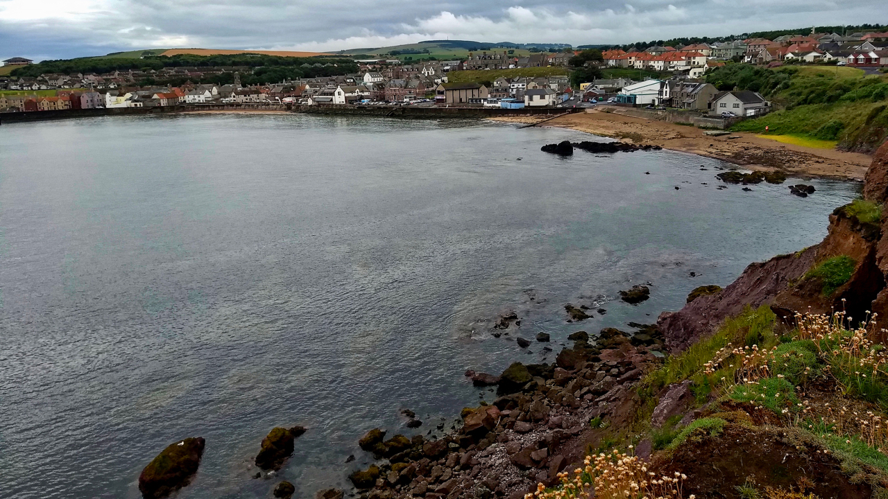
Eyemouth
A run along the dramatic Berwickshire coast from Coldingham to Burnmouth, passing through the picturesque fishing village of Eyemouth. I have been here once before, to launch my sea kayak for a paddle up the coast. But what I remember most is reading about the fishing disaster of 1881. We had stopped at the first…
-
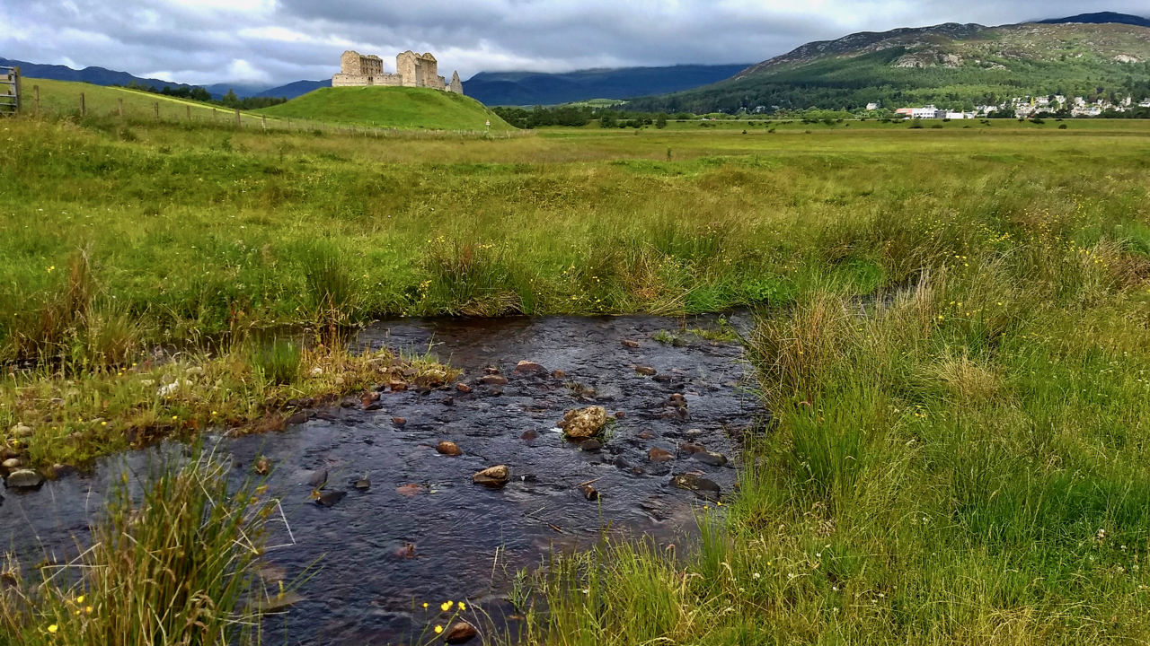
Ruthven Barracks
The history of this 18th-century garrison for Hanoverian troops is well documented. What is not so well known (or at least what I learnt yesterday) is that a stronghold is first documented as being built on the site in the early 1200s, its strategic position recognised as the lowest fordable crossing of the River Spey…
-
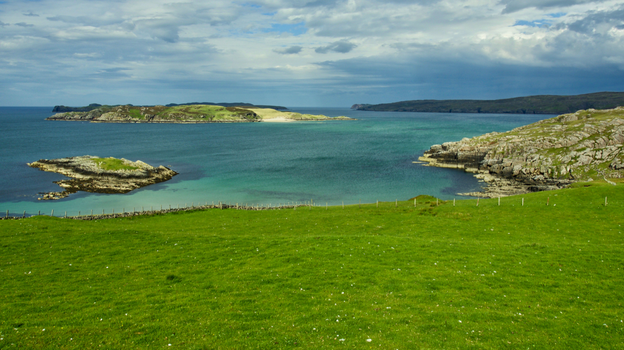
Rabbit islands
The little island nearest is Talmine Island but the ones in the distance are called Rabbit Islands. There are three maybe five of them depending if count one as being split by a cleft and another by a sandbank both of which are dry at low water. In fact the map shows a tidal sandbar…
-
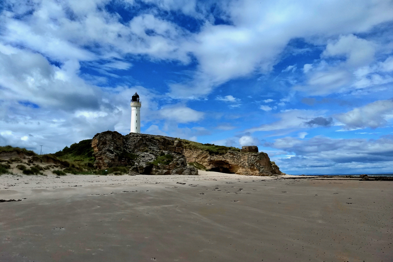
Covesea Skerries Lighthouse
Built in 1846, following a terrific storm 20 years earlier in which 16 vessels were lost in the Moray Firth, several on the notorious Covesea and Halliman Skerries. The delay was due to Trinity House, the board responsible for lighthouses, believing that a lighthouse was in fact unnecessary. Eventually, the board was swayed by public…
-
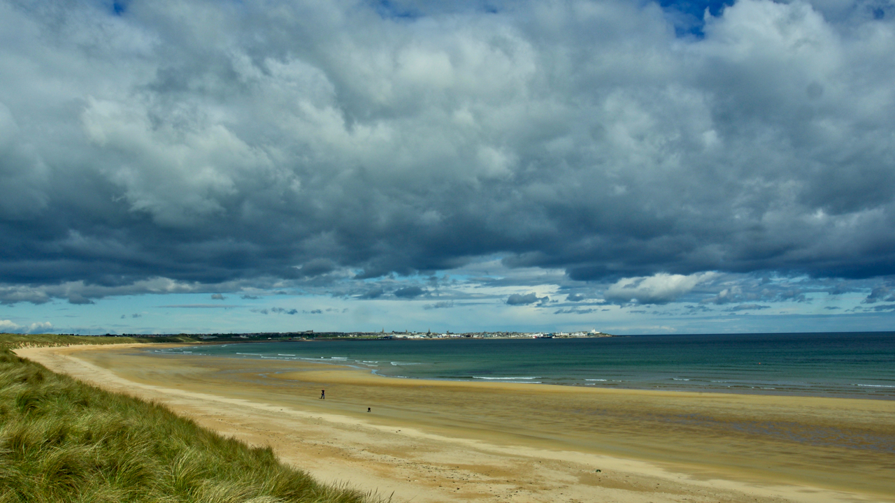
Fraserburgh Bay
The north-east coastline of Aberdeenshire has many miles of clean golden sands, deserted but for the occasional dog walker. This is Fraserburgh Bay between Kinnard Point and Cairnbulg Point. In the distance is Fraserburgh, a town dating from the 16th-century and named after Clan Fraser. Beyond Fraserburgh, the Moray Firth begins. Open Space Web-Map builder…