Tag: prehistoric
-
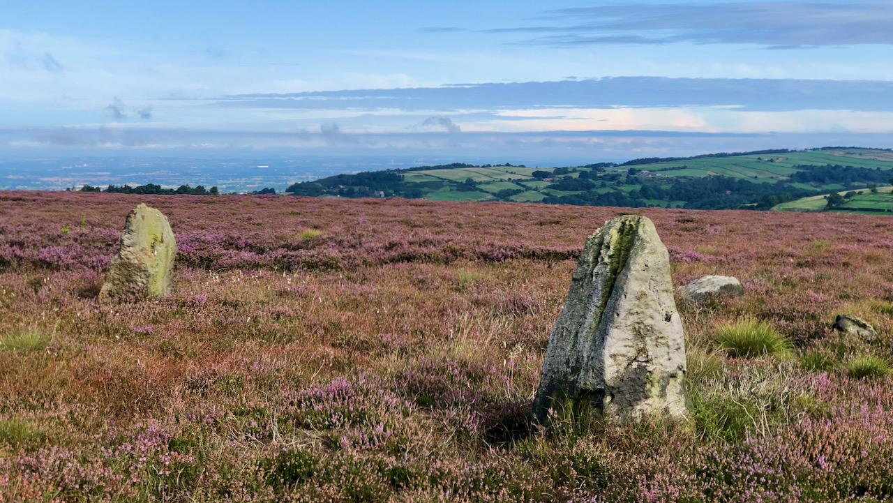
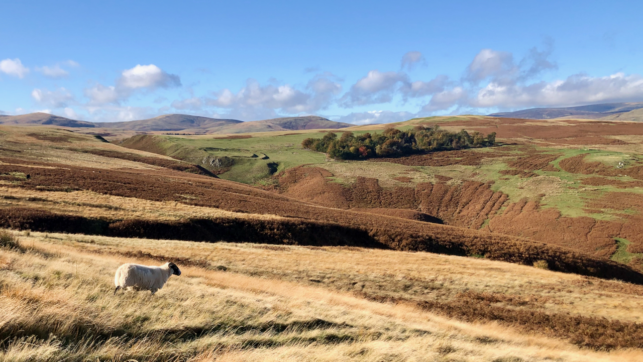
The Nine Stones of Thimbleby Moor
Isn’t it funny how when you haven’t been to a place for months, you seem to end up going there over and over again? This is now the third time in just a few weeks that I’ve ended up around Thimbleby Moor. This time, I took a different route, coming via the Hanging Stone after…
-
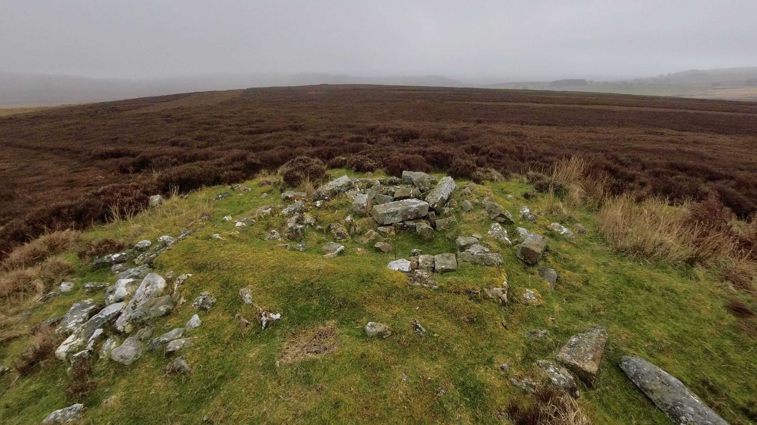
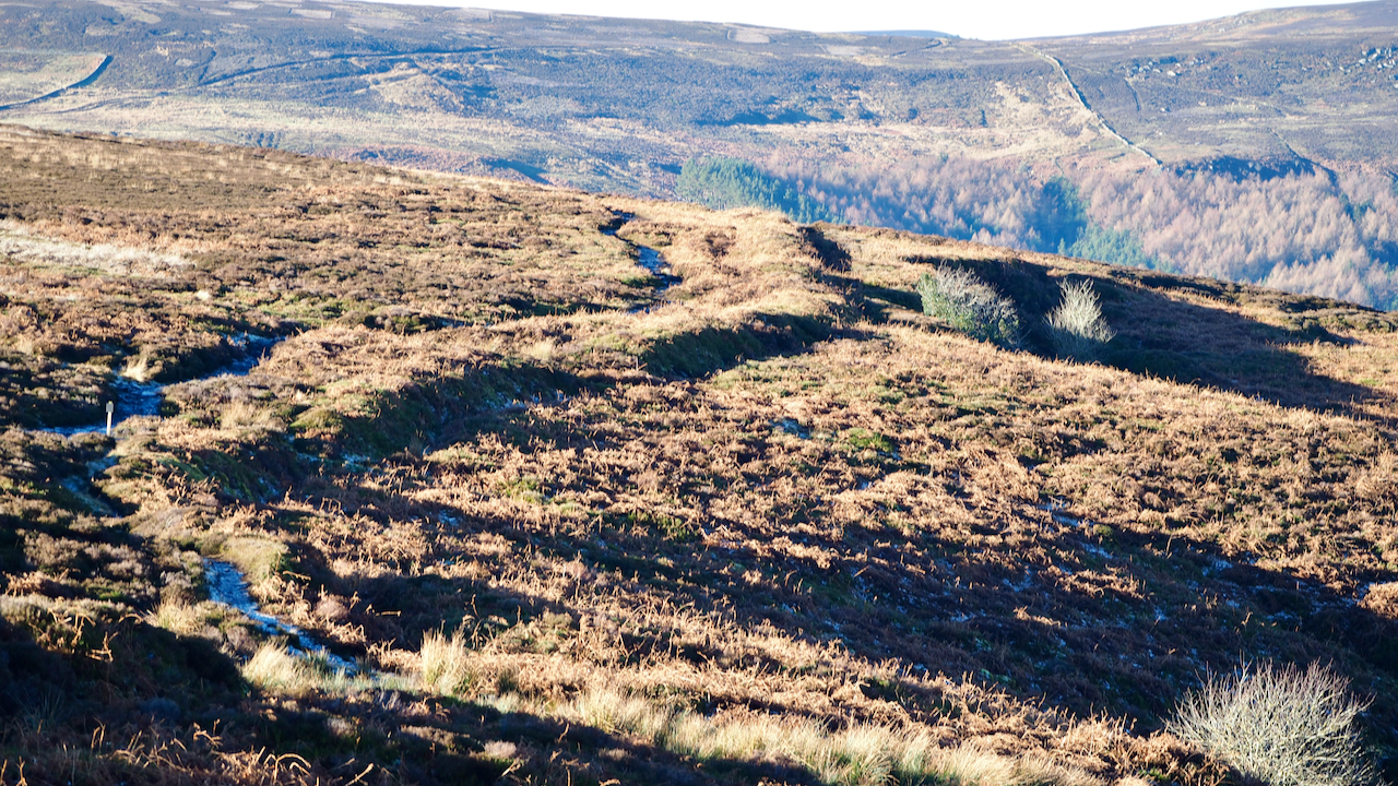
Miley Pike
Miley Pike is a type of prehistoric round burial mound that was built during the Late Neolithic period to the Late Bronze Age. These mounds are located in important positions throughout the North York Moors and are an important part of the area’s historical landscape. Round barrows are ancient monuments that were used for burials.…
-
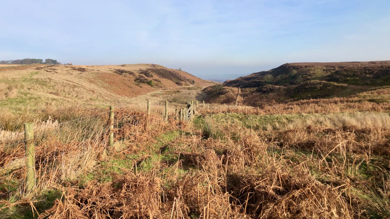
Birchdale
I had a faint recollection of crossing Newton Mulgrave Moor before and indeed I had. It’s still a bit of a haze though. Lying north of the A174, it’s an unfrequented area. Very flat, and exposed to winds from all directions. But a relatively deep valley provides a welcome incision — Birchdale or Birk Dale…
-
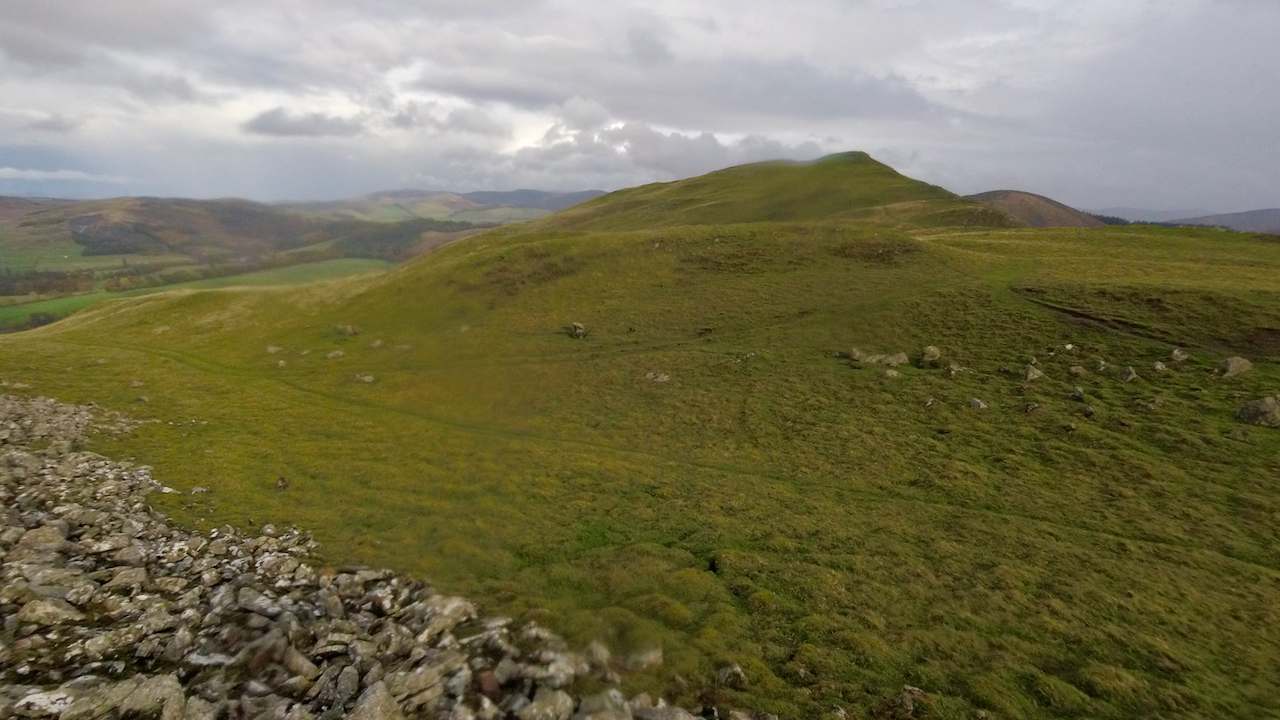
Frisian horses on the Southern Uplands
Cademuir Hill is a small ridge, barely 4km long south of Peebles in the Tweed valley. Yet it hosts 3 prehistoric forts. The photo is taken from the south-westernmost at 356m asl, arbitrarily named by the archaeologists as ‘Cademuir Hill 2’, towards the highest at 407m asl., ‘Cademuir Hill 1’. The 3rd fort, The Whaum,…
-
Middledean Camp
Viewed from across the precipitous Middledean Burn, the double earthbanks of the Iron Age fort known as Middledean Camp stands out against the smooth rounded hills of Breamish Valley in the Cheviots. Double earthworks such as this are termed ‘bivallate’. Promontary hillforts are those which are defended by steep slopes on 2 or 3 sides.…
-
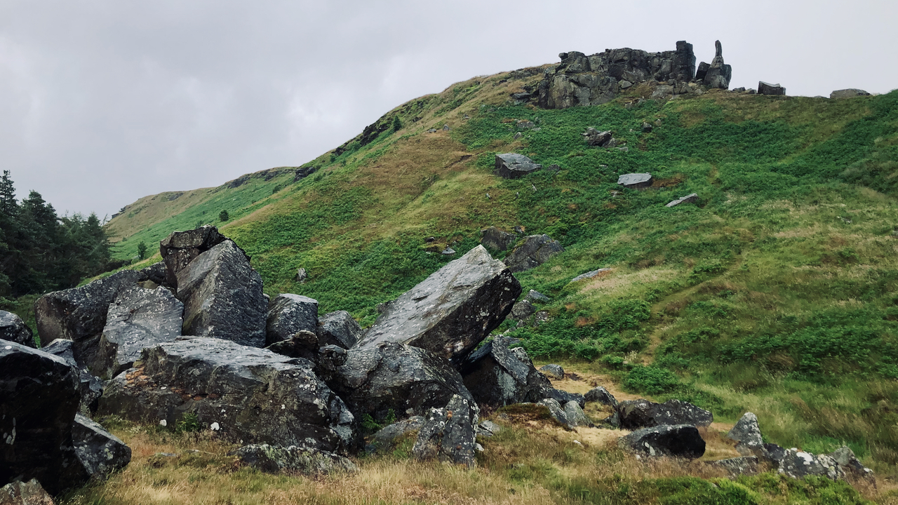
‘The Ancient British Druidical Logan or Rocking Stone‘
A couple of weeks ago I posted about the ‘Immense Landslip’ of 1872 on White Hill. And in that post I quoted from a newspaper article which suggesting paying a visit to ‘The Ancient British Druidical Logan or Rocking Stone‘ when viewing the landslip; ‘only distant a few hundred yards‘. I racked my brain trying to…
-
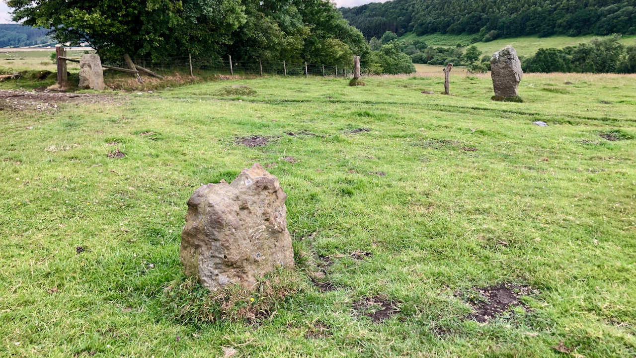
Blakey Topping standing stones
Could this group of standing stones be the remains of a stone circle? Although only three stones are visible in the photo, there is certainly a fourth in an old field bank and one source says a fifth, although I didn’t spot either of these. In addition there are two or three hollows in the…
-
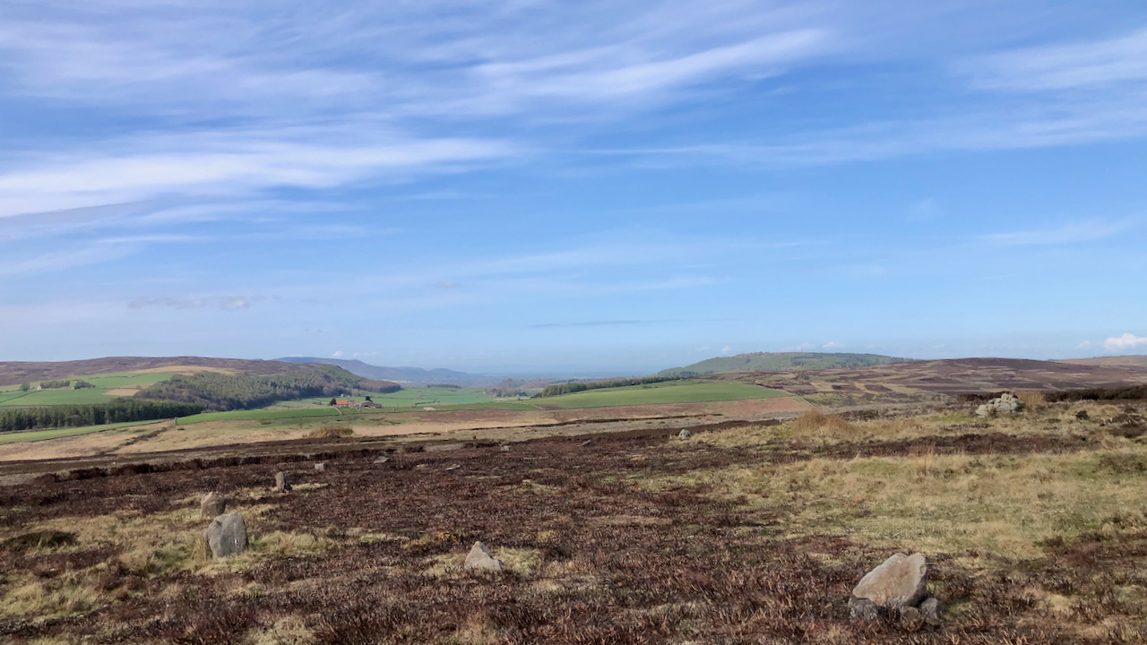
Wayworth Moor
Wisps of cirrus clouds break the endless blue sky. High on the moors the world seems flat. Wayworth Moor has vague boundaries. It’s clear cut to the east, Sleddale Beck, but to the north and west, it probably falls to that part of Commondale Moor, for which Wayworth Farm has pasture rights. A reference in…
-
Billy’s Dyke
So named after William the Conqueror, who was supposed to have passed this way in his harrying of the north. Here he met with a storm and cursed in its face. I’m surprised I haven’t posted about this 4.4km earthwork along the eastern edge of Bilsdale before but it’s not exactly the most photogenic subject. Another…
-
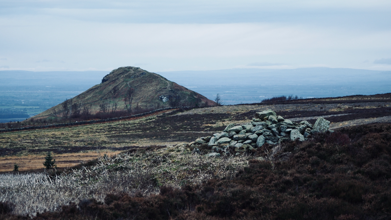
An old favourite — Great Ayton Moor Bronze Age round cairn
I’ve photographed it many times before: — It’s tempting to think of cairns as permanent, but there has been some noticeable movement in this pile of stones since 2007. I saw today the gamekeepers have buried an animal trap in a metal box amongst the stones so this may have contributed. This is a ‘round…