Tag: medieval
-
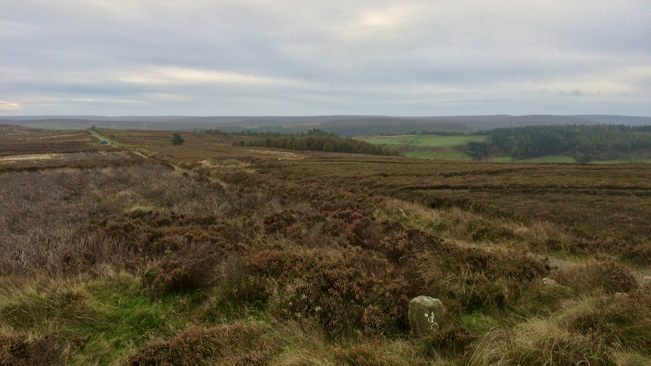
Percy Cross Rigg
These posts often result from a faint memory which I then spend an hour or so trying to verify or research further in the evening — it beats watching ‘Strictly …’. But then, every so often, I plunge head first down a rabbit hole after I’ve pressed the post button. Yesterday was a case in…
-
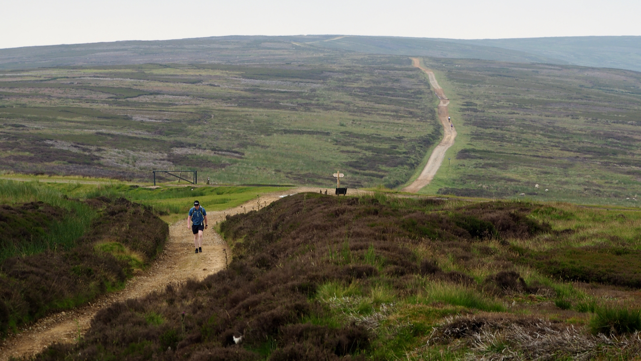
Rudland Rigg
I have often wondered what the old medieval roads across the moors were like. The temptation is to imagine they were similar to modern access roads but these have had the benefit of contemporary maintenance techniques with hydrocarbon fuelled machines. I think pot-holes and deep mud would have been the norm. Route were north-south, following…
-
Melegate
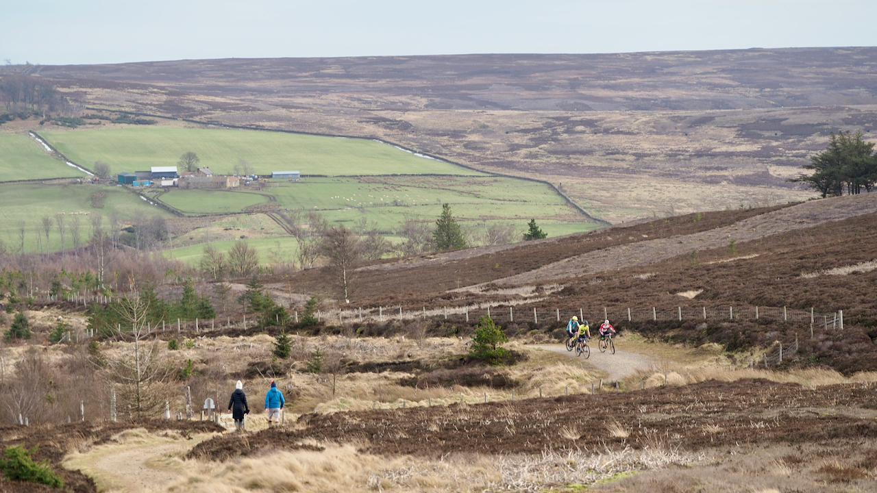
The cyclists and the walkers are on the Cleveland Way between Little Roseberry and the Kildale track. This is supposed to be the route of an ancient and important route called ‘Melegate‘. The name is mentioned in a 13th-century charter between Guisborough Priory, and Richard de Hoton and his brother, Humphrey, following a dispute over…
-
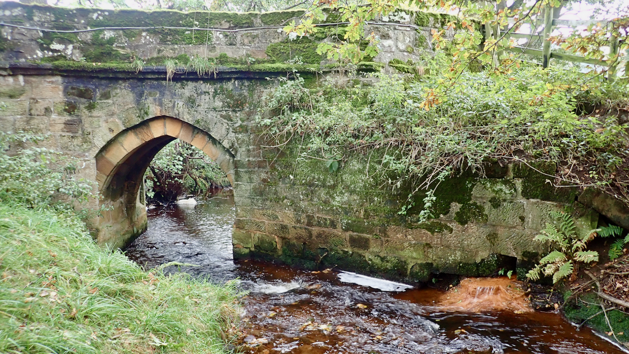
Baysdale Abbey Bridge
A single-arch bridge crossing Baysdale Beck, near to and contemporary with the small Cistercian nunnery of Baysdale Abbey. Which puts its construction in the 13th-century, although “the attached piers and parapet are probably 17th-century in origin with later alterations”. Which begs the question of which bits are original? No trace remains of the abbey, its…
-
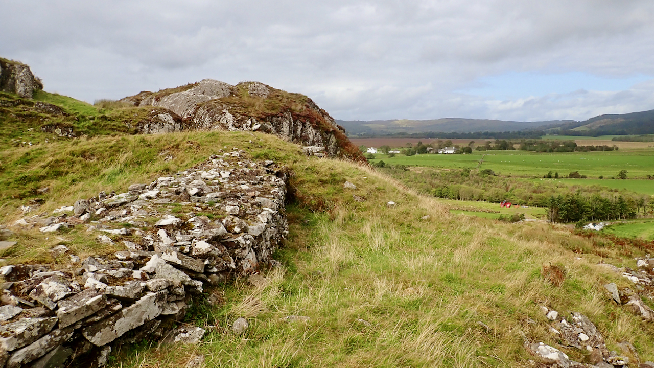
Dunadd
More than 1,300 years ago, this part of Argyll was known as Dàl Riata and was peopled by Gaels, known as the Scotti. The royal centre of Dàl Riata was a fortress built on top of a rocky hill beside the River Add: Dunadd, or Dùn Ad in Gaelic. It is said that the Gaels…
-
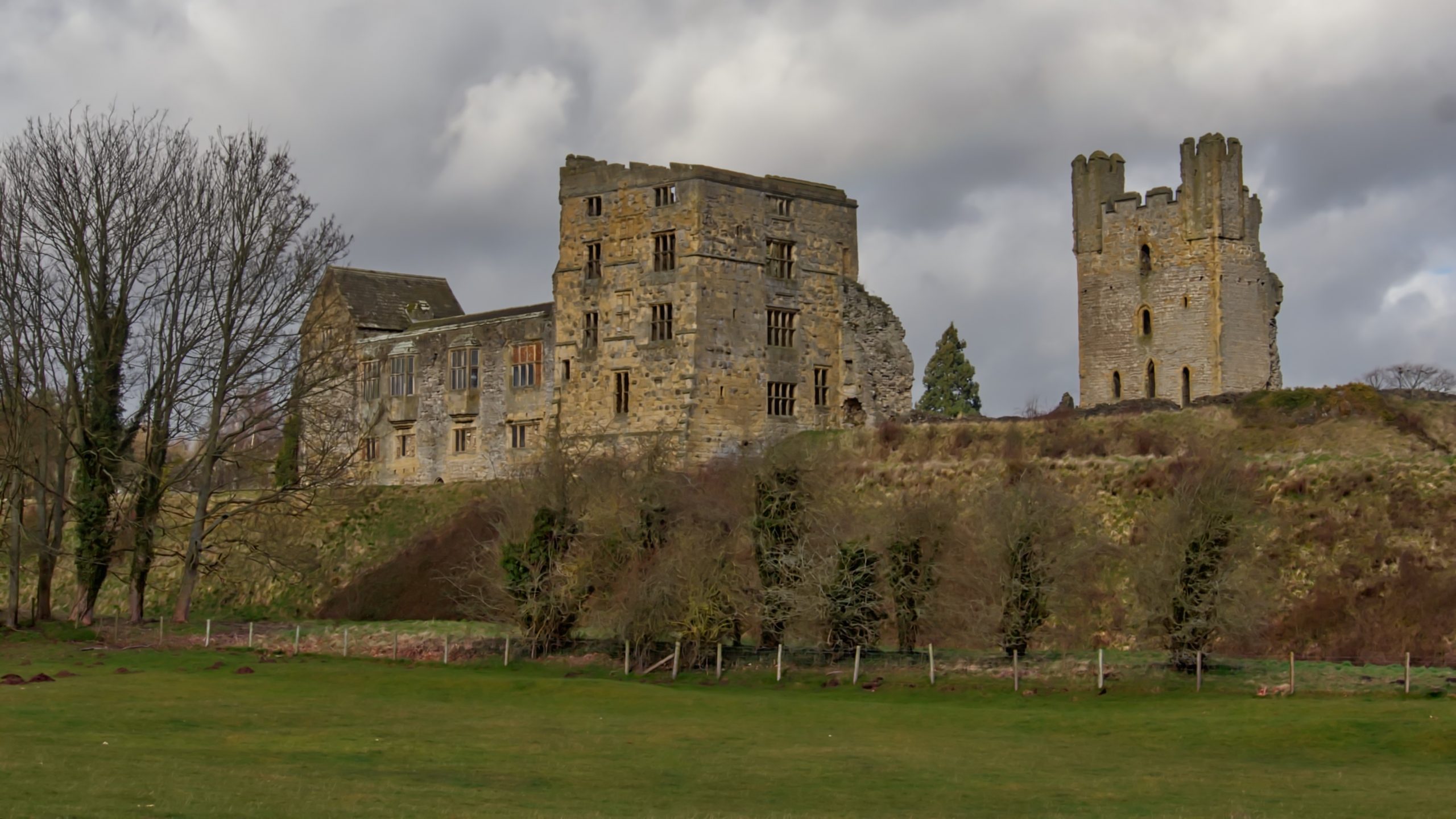
Helmsley Castle
Not inspired by a wind-blasting on the high moors I headed to Rievaulx and a sheltered bimble along the Rye valley. For 900 years Helmsley Castle, standing on its rocky outcrop on the north bank of the Rye, has dominated the town to the west. Castles are almost entirely absent from the bleak upland plateau…
-
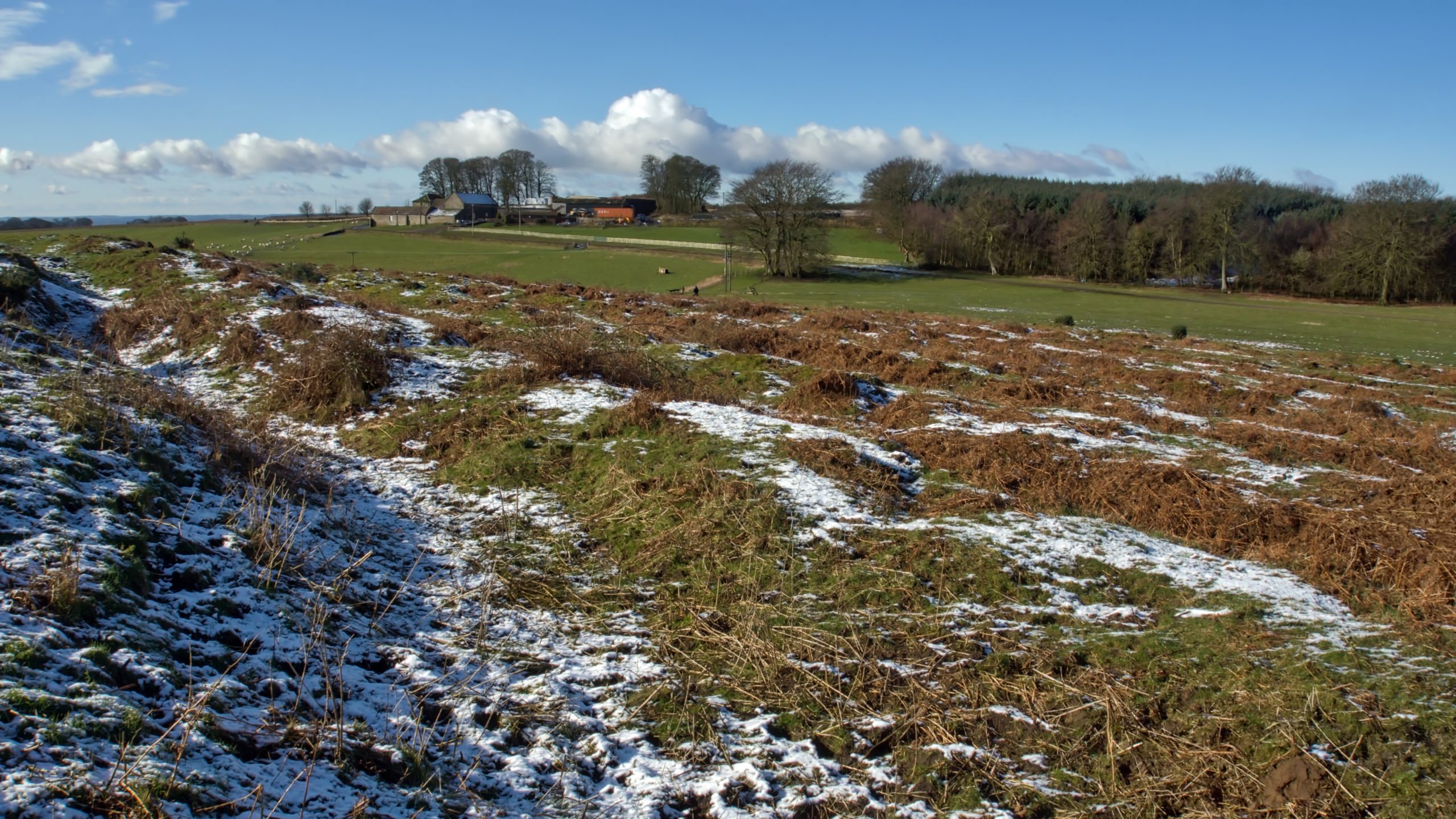
Cockmoor Hall Earthworks
The Tabular Hills have a high concentration of Neolithic or Bronze Age earthworks: linear boundaries in the form of ditches and earthbank and round barrows and at the head of Wy Dale, before Stainton Lane descends steeply into Toutsdale, is an extensive area of a confusing mixture of prehistoric earthworks overlain by medieval. Only a…
-
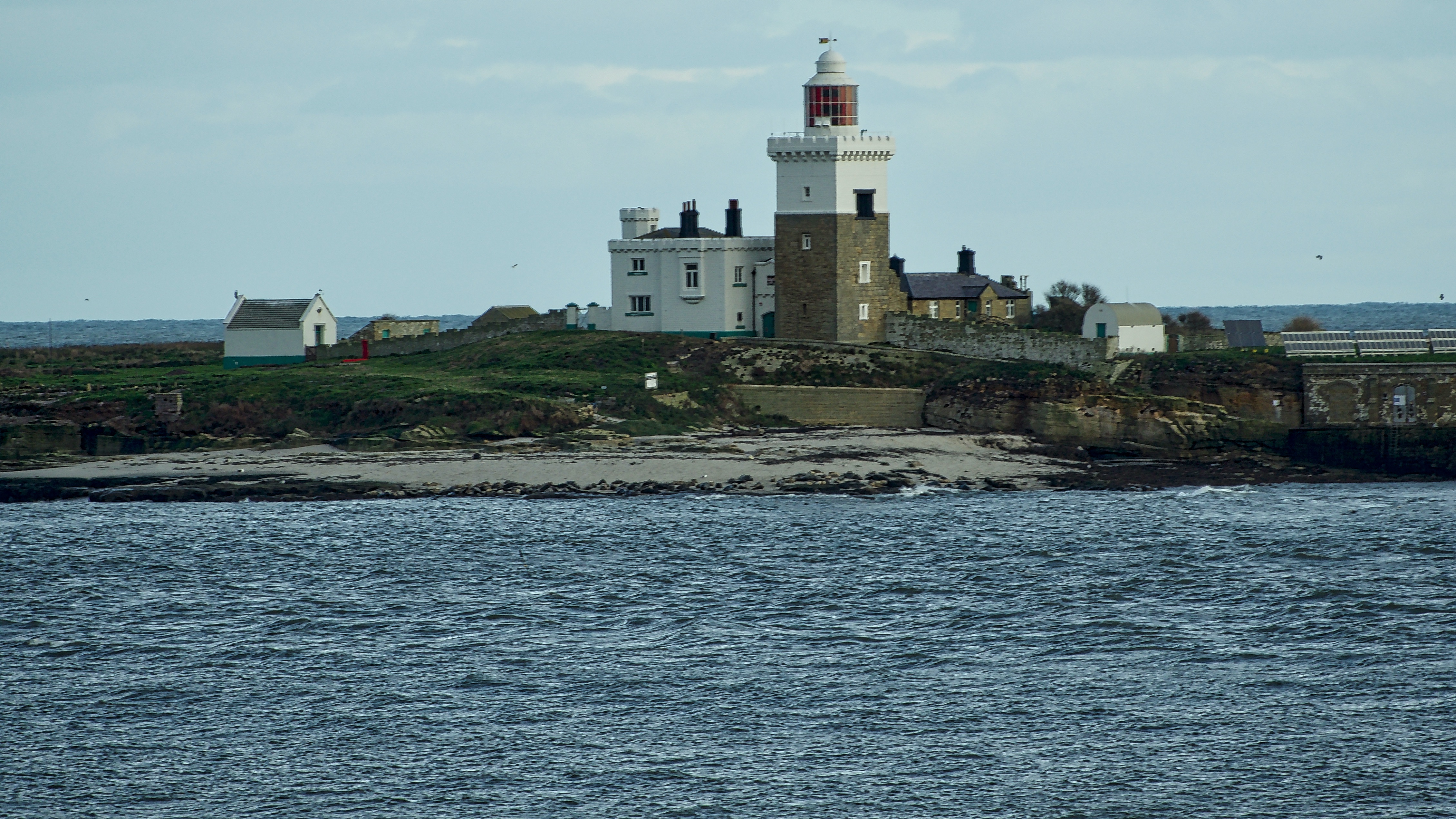
Coquet Island
An RSPB reserve about 1½ km offshore at Amble. Apparently it’s home to a colony of Roseate Terns. In the 7th-century the monk Cuthbert, living as a hermit, met Ælfflæd, Abbess of Whitby here. The island’s isolation appealed to many later medieval hermits and became a Benedictine monastic cell linked to Tynemouth Priory. The tower…
-
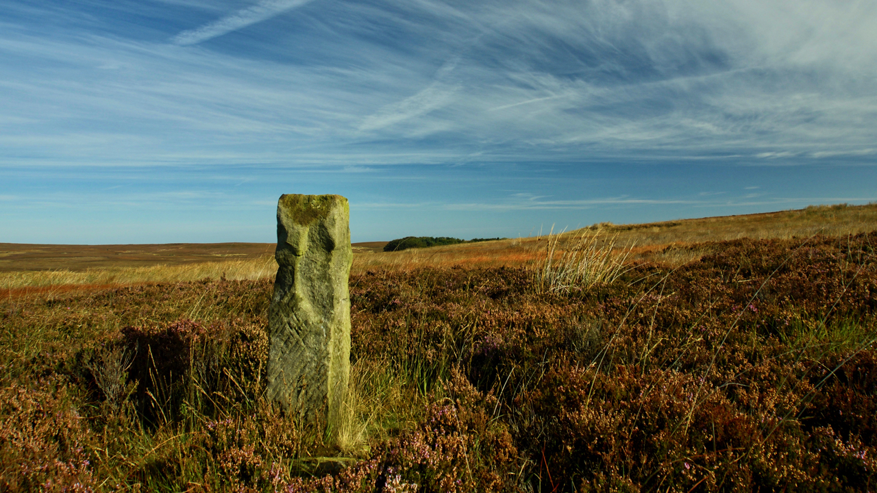
Job Cross
On Moorsholm Moor. Perhaps one of the North York Moors most elusive crosses. Job Cross stands 30 metres or so north of the modern track designated as a Public Right of Way open to all traffic but once found it becomes obvious from quite a way off. The modern route must have been diverted slightly…
-
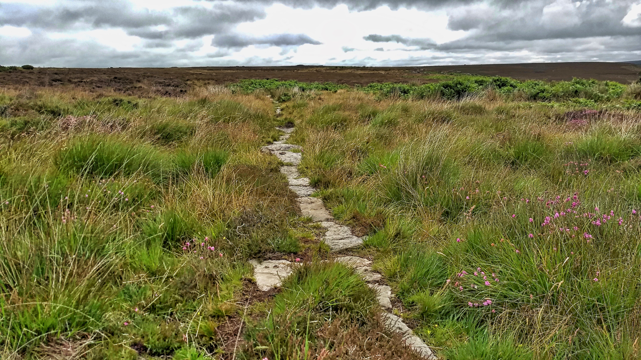
Post medieval trod from Stokesley to Whitby
I stumbled across this today quite by accident. A small section of a stone trod running parallel to and about 20 metres from the Commondale to Three Howes Rigg modern road. It is recorded on the NYM NP Historical Environment Records (HER) map as “a section of the post-medieval trod or trackway from White Cross…