Tag: history
-
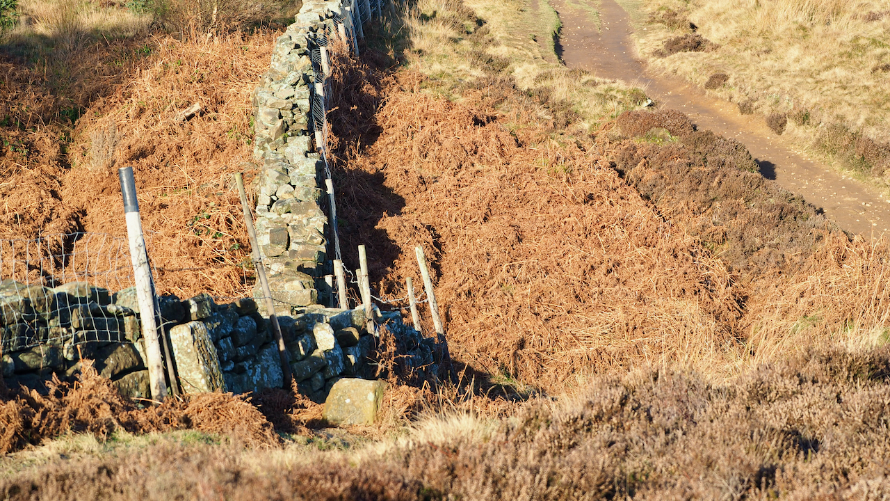
Thomas Kitchingman Staveley
I took this photo of a pair of 19th-century boundary stones that identifies the old parish boundary between Newton under Roseberry and Great Ayton to demonstrate the extent of the National Trust land on Newton Moor. The National Trust property boundary follows the old parish boundary, so the beck just beyond the boundary stones is…
-
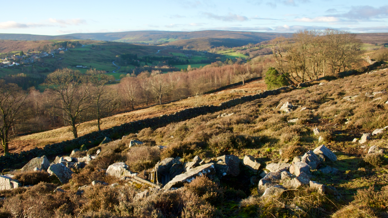
Lingcote End
An unfamiliar view of the lower portion of Westerdale, taken whilst being buffeted by Storm Malik, the latest of this winter’s storm. I am on what is named as Grange Bank on the old O.S. map descending into the dale after a slog over Baysdale Moor. The photo gives a good overview of the medieval…
-
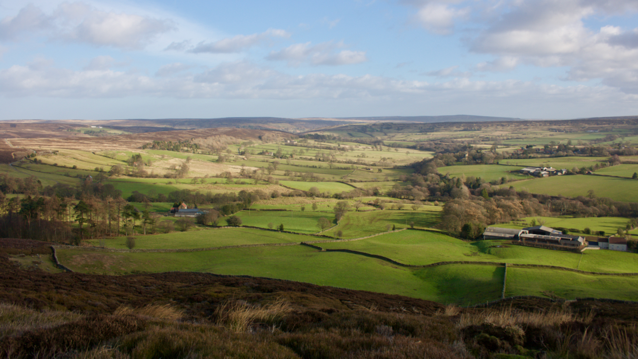
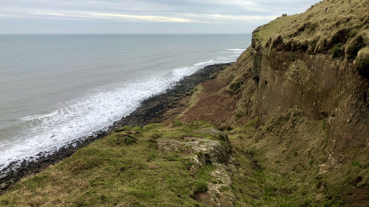
View of Stokesley and the Cleveland Plain from Tom Gill
I was minded to post a photo of Stokesley today, as on this day, 28th January, a Royalist army was raised in the town. If you didn’t know Stokesley is the built-up area far left in the photo. In a previous post, I wrote about the Battle of Marske Beach when, in the summer of…
-
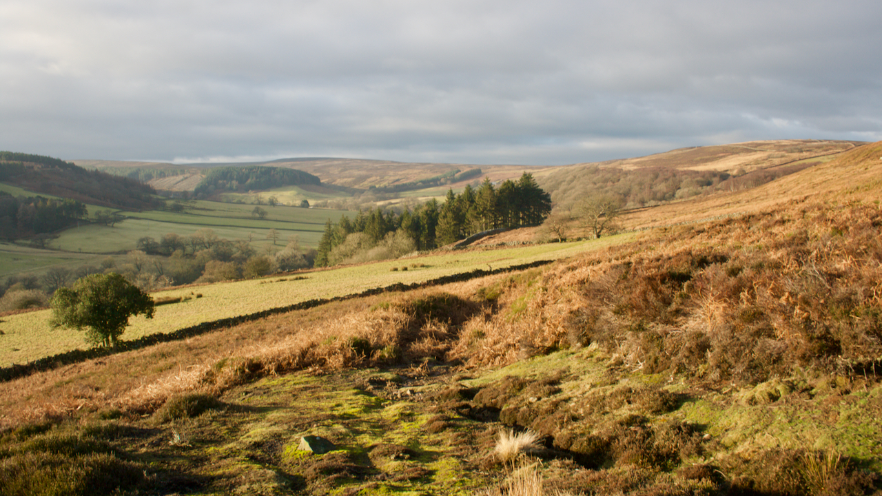
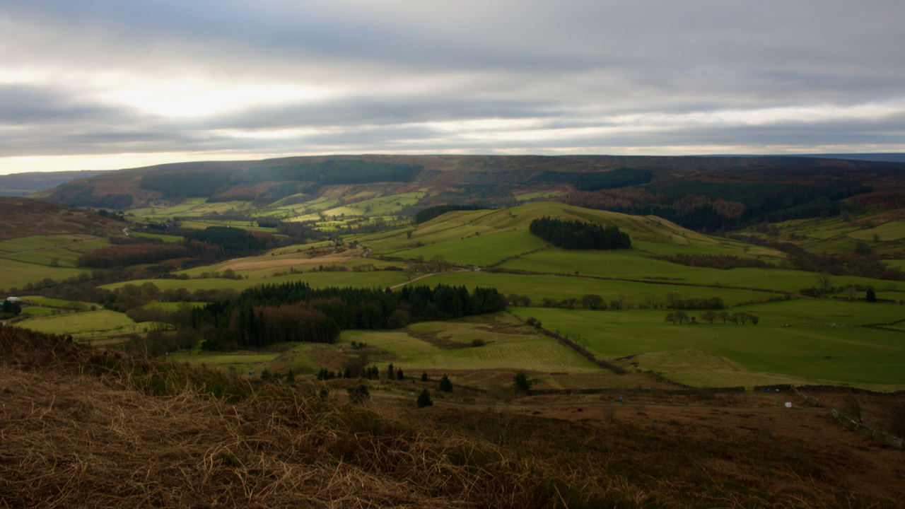
Baysdale
Today is Australia Day. An Australian national holiday to commemorate when the British First Fleet, led by Captain Arthur Phillip, sailed into Port Jackson so establishing the first permanent white European settlement on the continent. The year was 1788, almost eighteen years after Captain James Cook had set foot on the place. The fleet comprised eleven…
-
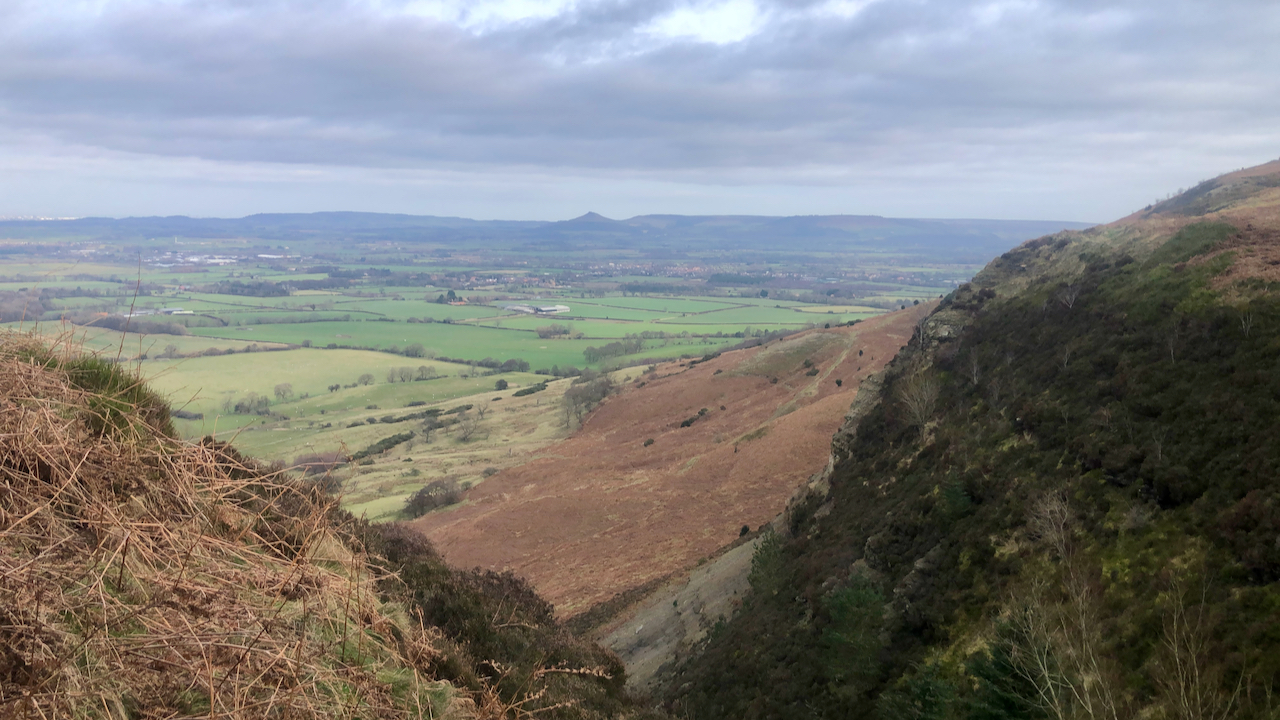
Back o’ Cranimoor
A wander around the back of Cranimoor, more familiarly known as Cringle Moor. On what was an otherwise overcast morning, a patch of sunlight tantalisingly moves up Raisdale before petering out before reaching Wath Hill, the prominent hill at the head of the dale. Raisdale was once a source of building stone for Hartlepool and…
-
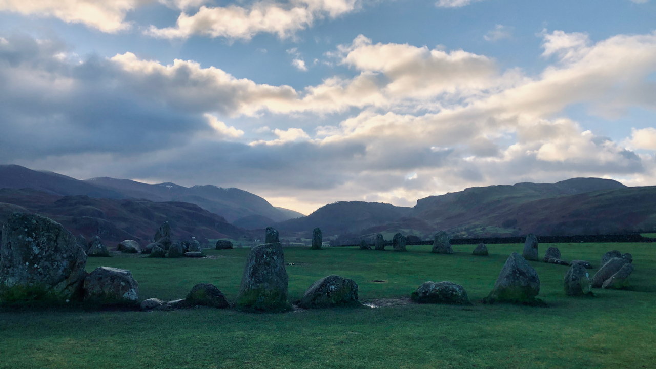
Castlerigg Stone Circle
My early morning run took in the Castlerigg Stone Circle, a 4,500 year old monument built by the earliest farming communities who took advantage of the fertile lands of the valley bottoms. Castlerigg is particularly impressive, giving a 360° panorama of the surrounding fells. This is a view south up the tiny Naddle valley. It’s…
-
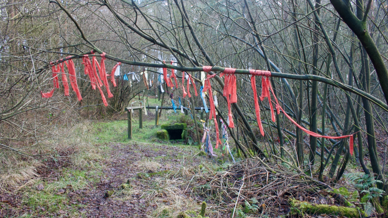
Old Wives’ Well
A chance to explore the moorland south of Goathland known as Simon Howe Rigg and into the depths of Cropton Forest in search of a moorland cross and a well said to be a holy well. The two features are just 373 metres apart which may or may not be a coincidence. Old Wives’ Well,…
-
Cuddy Trail — Tods Loup
On 12 March 1840, the Fife Herald carried an advertisement: LAMBERTON COLLIERY TO LET. To be Let, for such a number of years as may be agreed upon, with entry thereto at Whitsunday 1840, THE COAL FIELD situated on the Farm of LAMBERTON, in the parish of Mordington, and county of Berwick, as formerly occupied…
-
Scallywag hideout
A few weeks ago I had a tip off about a WW2 ‘Auxiliary Unit‘ operations base above Danby Park overlooking Castleton (thanks, Chris). This would have been the hideout for a special detachment of the Home Guard which would have operated as a guerrilla force in the event of a German invasion. Although these were…
-

Wainstones
Seen from Cold Moor, across Garfit gap. The morning’s duvet just about blown off, and the December sunshine hitting the crags for the first time. The Wainstones are a popular climbing venue. It’s difficult to get any idea of scale with this shot. The maximum climb is about 35′, just over twice the size of…