-
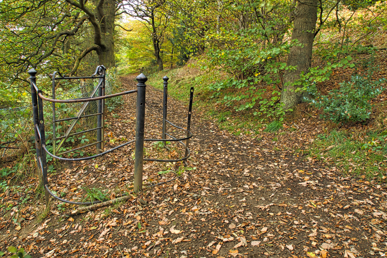
Cliff Ridge Wood
The old tramway to the whinstone quarry at Slack’s Wood. A favourite morning walk along the bottom of Cliff Ridge Wood, part of the National Trust’s Roseberry property. An isolated kissing gate stands at the intersection of the path from the village of Great Ayton to Aireyholme Farm. Long gone is the fence so the…
-
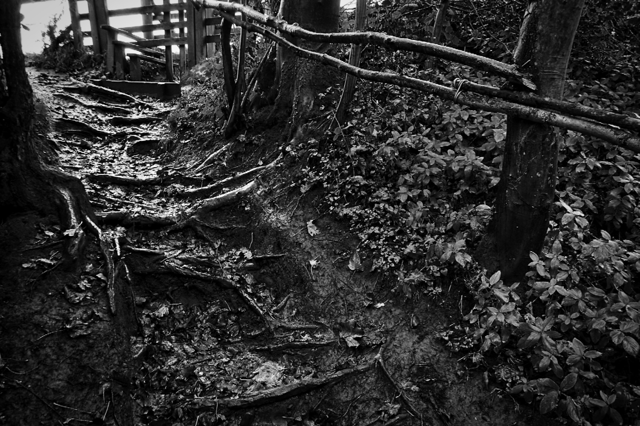
Nutty Crack Night
A wet start to All Hallows Eve. Tree roots provide steps up a steep path to Nettle Hole. If the rain continues, a damp night of trick or treats awaits. But long before Hallowe’en became a just another commercialised opportunity, in North Yorkshire All Hallows Eve is known as Nutty Crack Night. Girls could try…
-
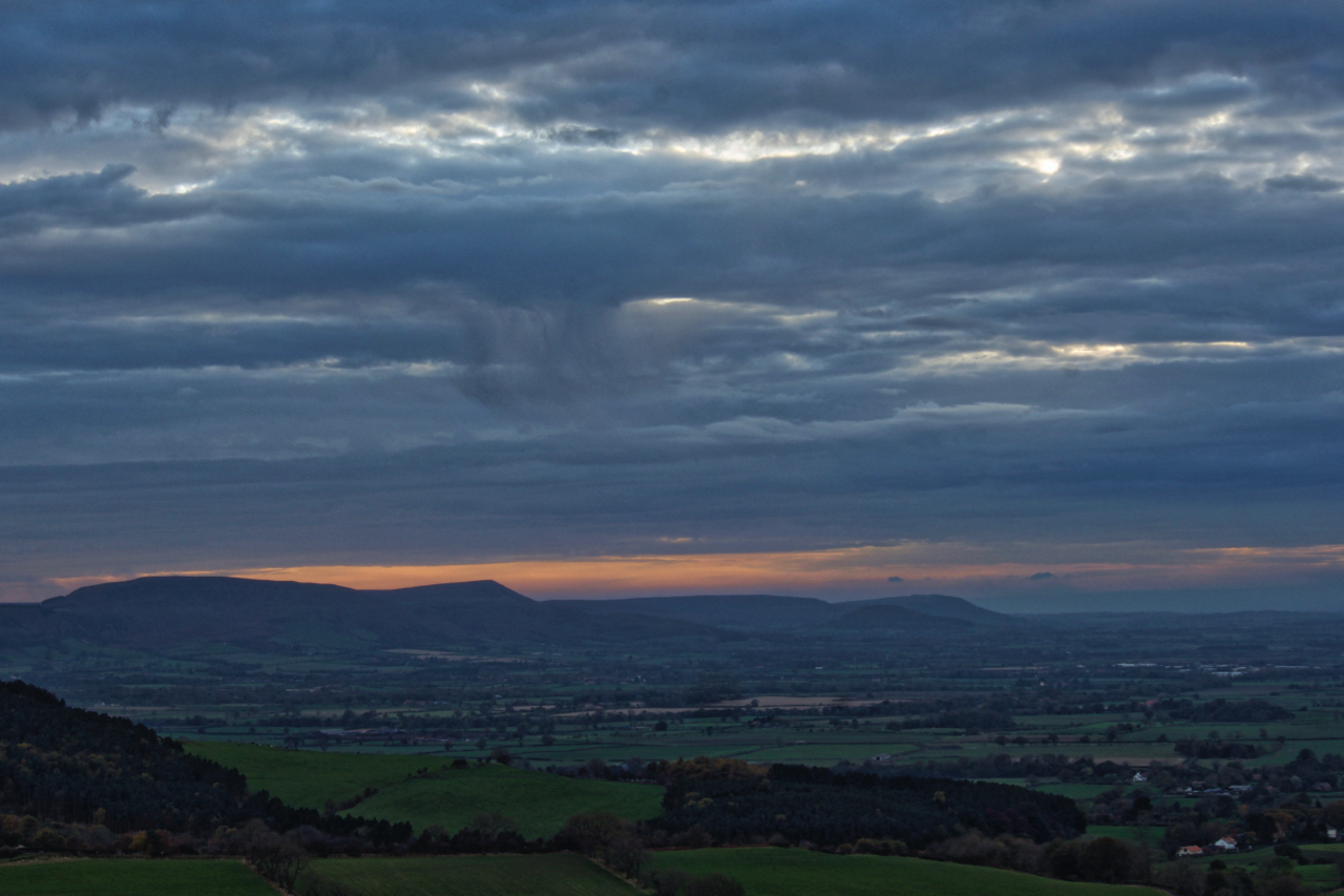
Cleveland Hills
Just a sliver of a sunset. A bit disappointing and a reminder of the dark winter nights ahead. A view south west from Newton Moor. Open Space Web-Map builder Code
-
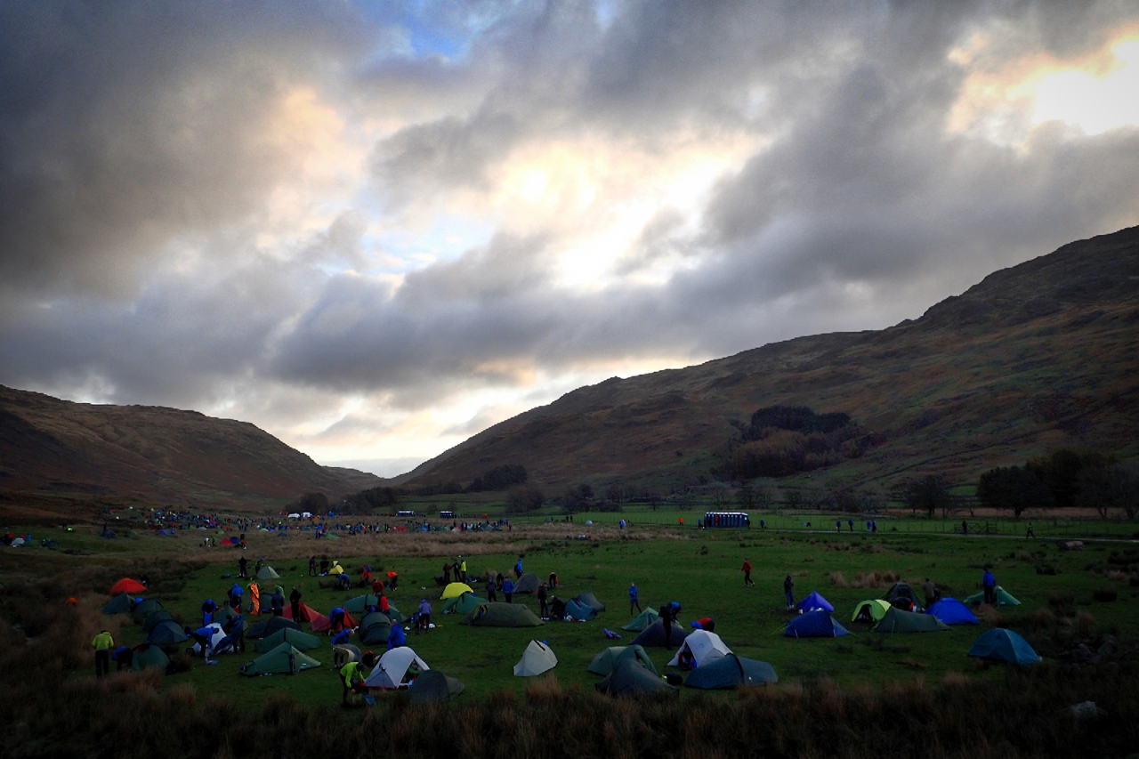
OMM Campsite Cockley Beck
I didn’t post yesterday. For several reasons, not least because I had spent the day high on the Central Fells in horizontal rain, 60 mph winds and zero visibility, it just wasn’t the right day for taking photos. I did get the camera out once but the lens had a film of water on it.…
-
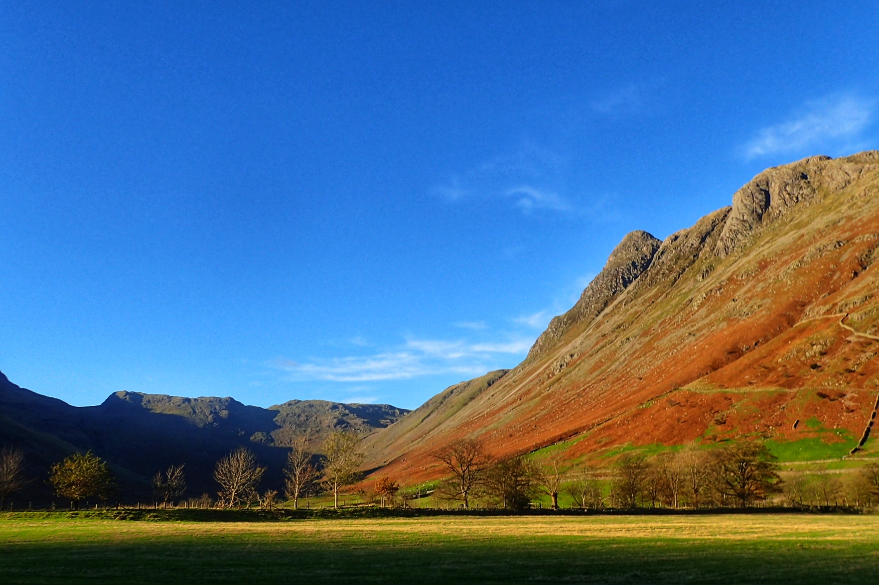
Great Langdale
Blue skies today but the forecast is for rain tomorrow with a 20% chance of cloud free summits.
-
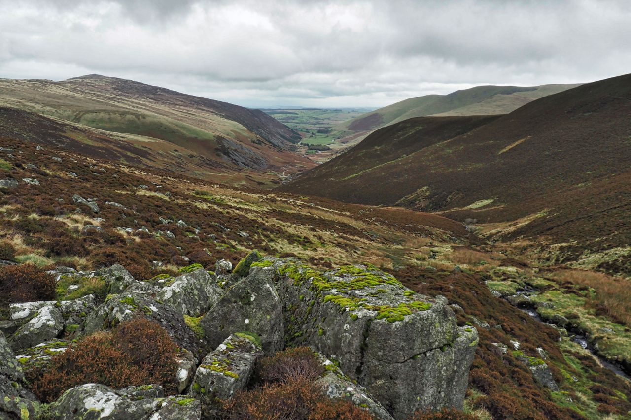
Mosedale
A neighbouring valley to yesterday’s post but far more significant, it’s watercourse, the River Caldrew, having a watershed covering perhaps half the Northern Fells. On the right Carrock Fell with its steep southern flank. A calmer day than yesterday but the high tops covered in cloud. Open Space Web-Map builder Code
-
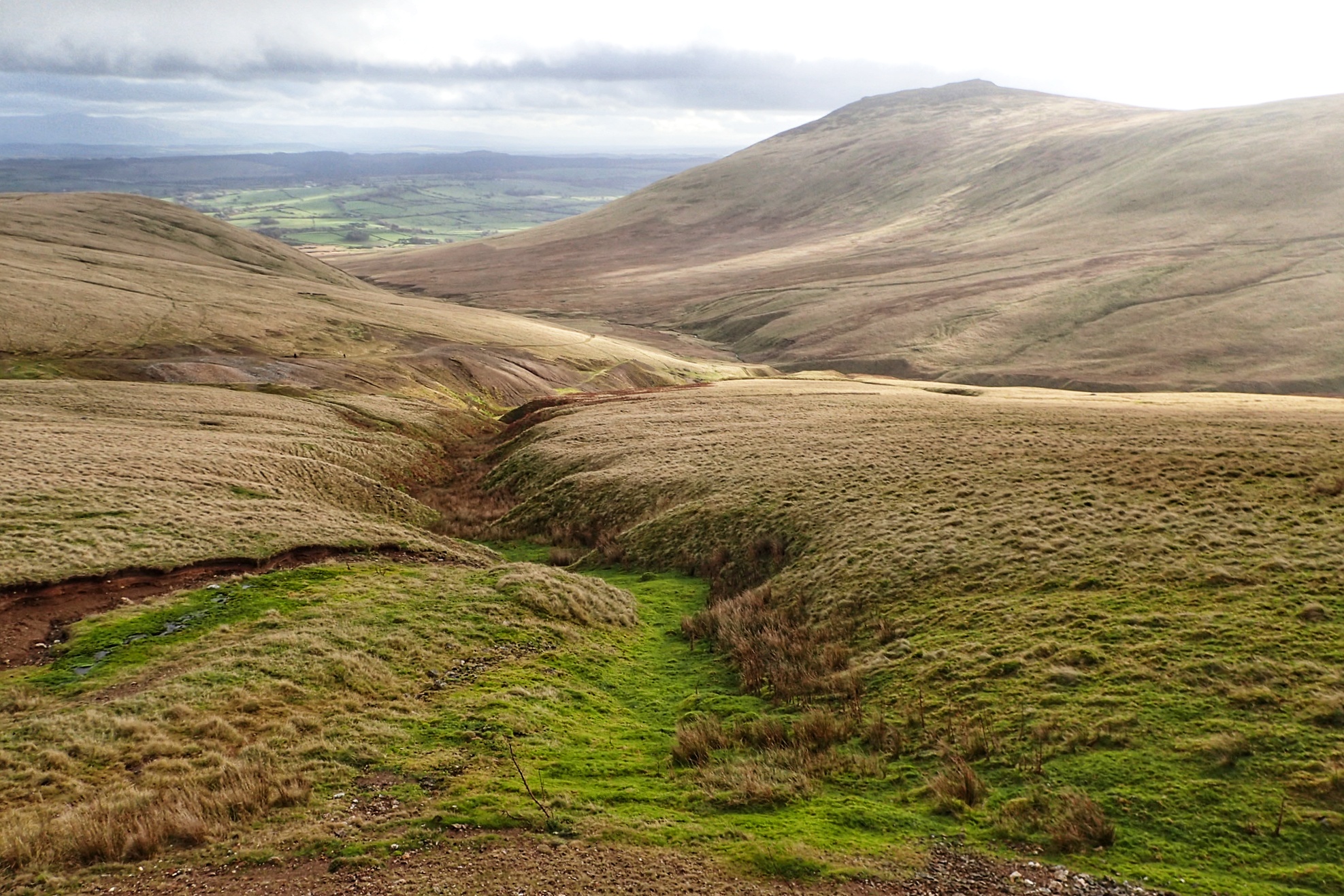
Carrock Beck
In the Northern Fells with Carrock Fell on the right. 649 metres high with a outcrop of gabbro, the only place in the Lake District where this igneous rock is found.
-
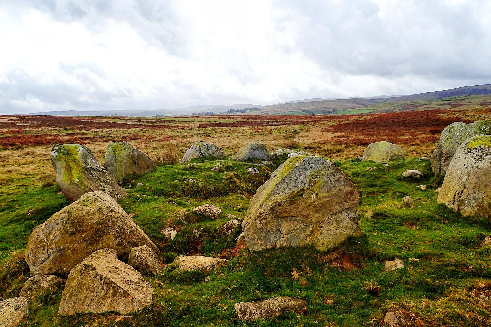
Cairn Circle
An unassuming but impressive stone circle on Moor Divock, a limestone plateau between Pooley Bridge and Askham in the English Lake District.
-
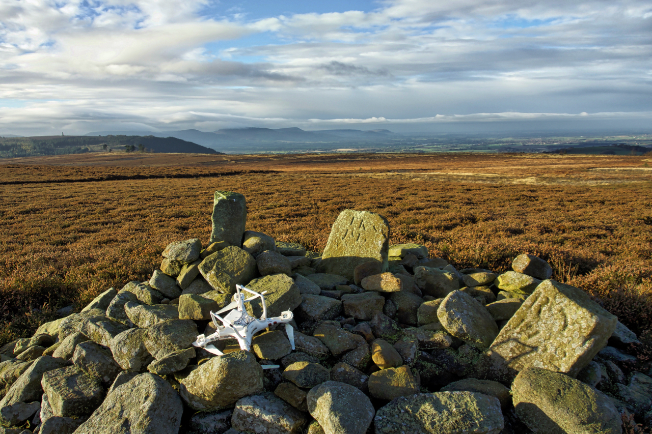
Not the best of landings
I haven’t whinged on about litter recently. The problem hasn’t gone away. There’s a couple of new websites that have been set up to geolocate litter. Firstly there’s the Marine Conservation Society in support of their campaign for the introduction of a plastic Deposit Return System. And then there’s the Open Litter Map (#OpenLitterMap), an…
-
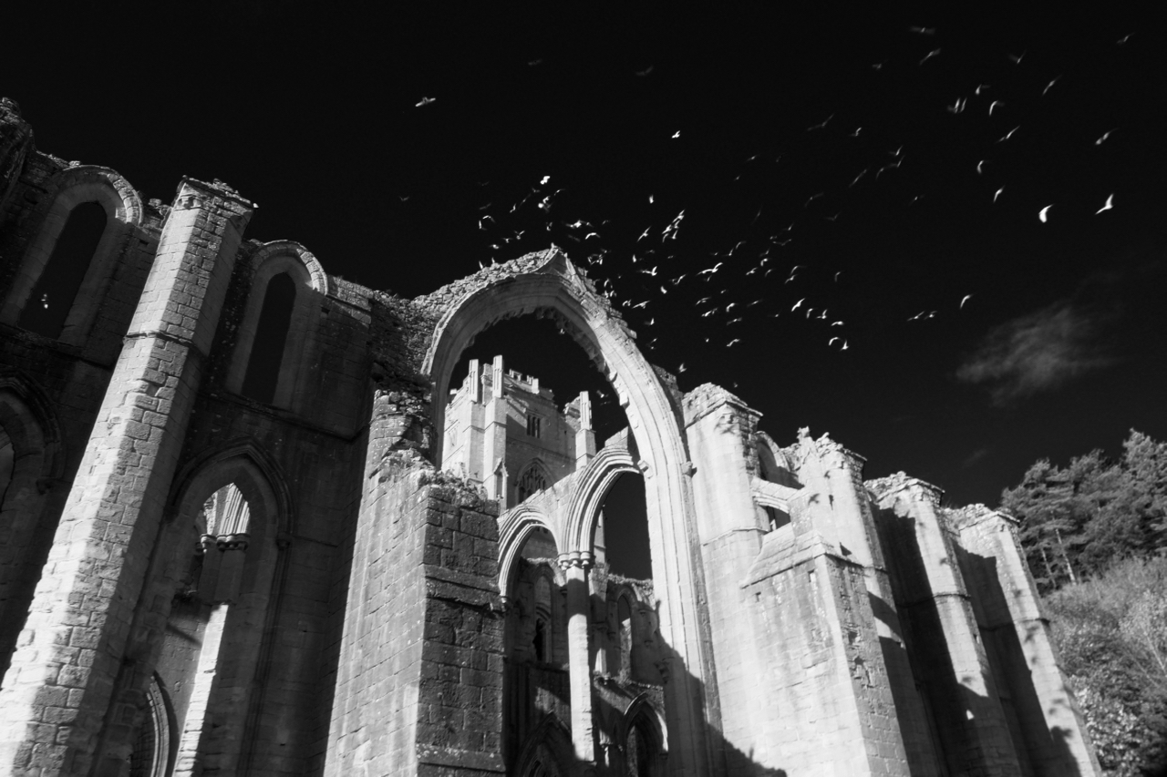
Fountains Abbey
A 12th-century Cistercian abbey owned by the National Trust. Its World Heritage Site status makes it a very popular venue. We arrived early before the Sunday crowds. Open Space Web-Map builder Code
Care to comment?