-
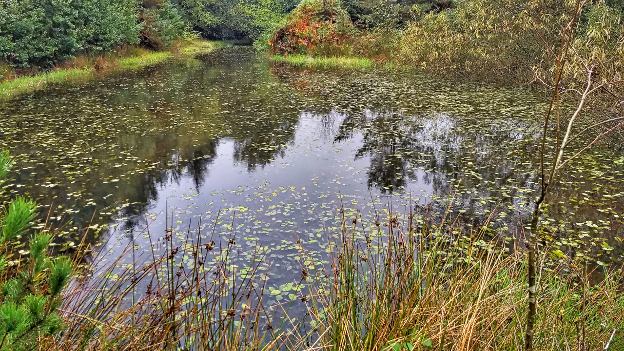
Pond, Sneaton Forest
The first time I orienteered in Sneaton the map was called Maybeck, the spruce trees were impenetrable and any excursion was a hands and knees job along one of the many ditches. Planted in the 1960s the forest is a commercial forest typical of the North York Moors. Today, 40 years later, the trees have…
-
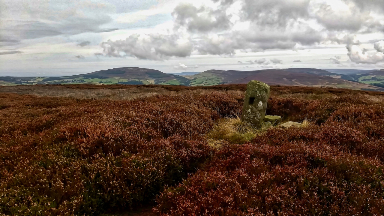
Green Howe
Go to almost anywhere on the North York Moors and somewhere on the skyline there will be at least one round barrow. More likely you will be able to spot a dozen or so. The archaeologists tell us 541 of them have been recorded. Marked in Gothic script on Ordnance Survey maps as ‘tumulus’ or…
-
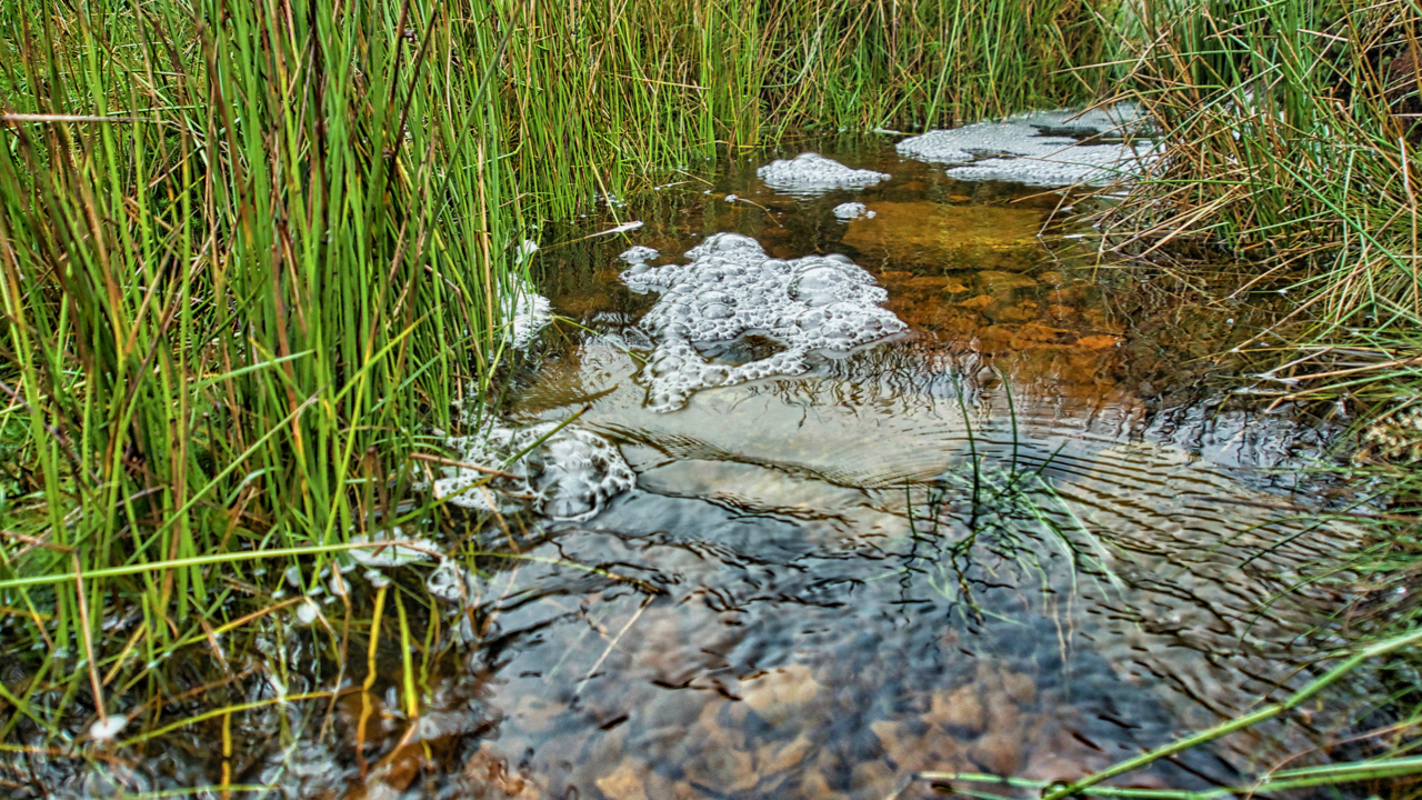
Howden Gill
Another blashy morning with low cloud so no panoramic views today. Plenty of water around though. This is Howden Gill which drains Great Ayton Moor. The foam is caused by natural surfactants released from decaying organic matter in the stream lowering the surface tension and allowing the water and air to mix more easily creating…
-
Word of the day: tropism
From the Greek tropos meaning “a turning”, a tropism is the response in a plant’s growth due to an external environmental stimulus. There are many types, such as: Hydrotropism, growth in response to water for example when the roots grow towards areas of higher moisture Phototropism, in response to light Thermotropism, in response to temperature…
-
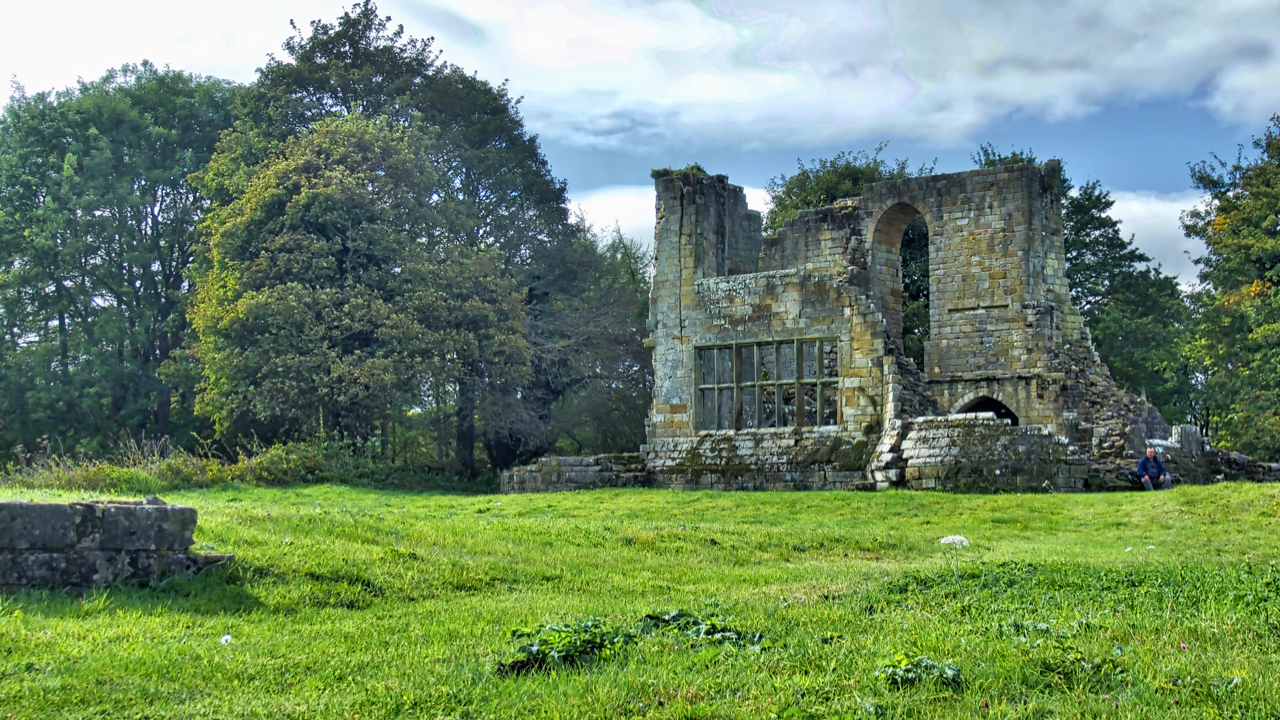
Mulgrave Castle
Standing on a narrow ridge between two parallel wooded valleys, Mulgrave Castle is part of the Mulgrave Estate owned by the Marquess of Normanby. Parts of the formidable curtain wall are Norman but the photo shows the keep which dates to the end of the 13th century. The large window in the east wall is…
-
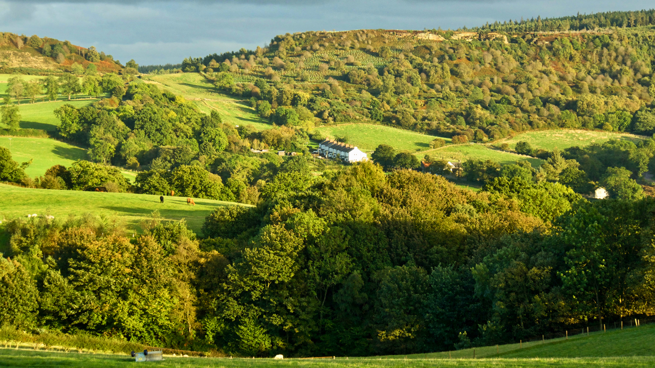
Pinch, punch, first of the month …
… and no returns. October, the eighth month of the calendar of Romulus, the first king of Rome. And what a miserable morning. But it had brightened up by the end of the afternoon. A view south-east from Cliff Rigg towards Gribdale and Cockshaw Hill. Open Space Web-Map builder Code
-
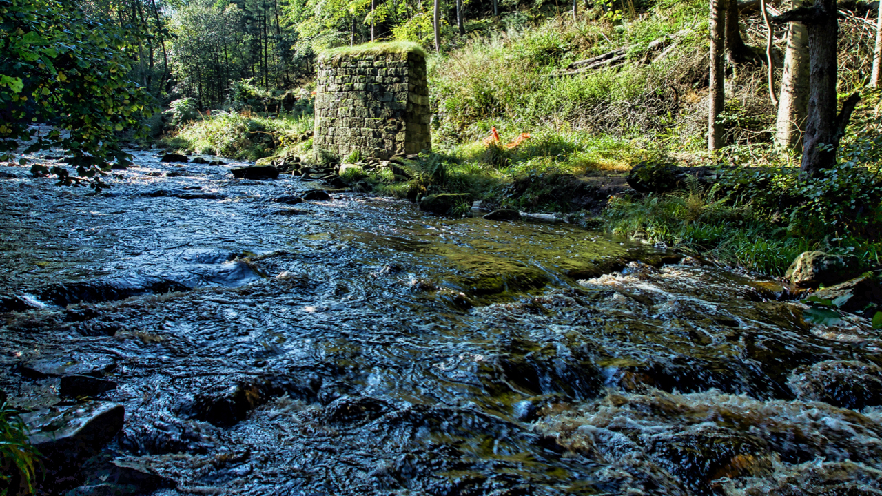
West Beck, Beck Hole
Exploring the excavations of the 19th-century ironstone mining activities in Combs Wood near Beck Hole. These have been carried out by the Land of Iron project over a three year period. We found them easily enough. Most intriguing was a deep pit thought to have contained a waterwheel with a range of remains above which…
-
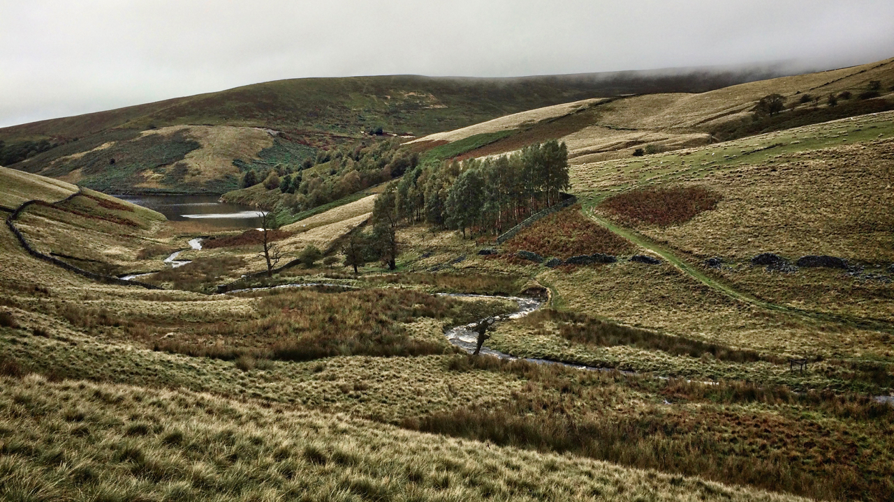
River Kinder
Some may have noticed I didn’t post yesterday. While Harrogate and the Yorkshire Dales were basking in sunshine watching the cycling world championships (this was Saturday!), 50 miles away, west of the Pennines, we were suffering twenty-four hours of torrential rain. I managed to take half a dozen photos with my phone of mist-covered hills…
-
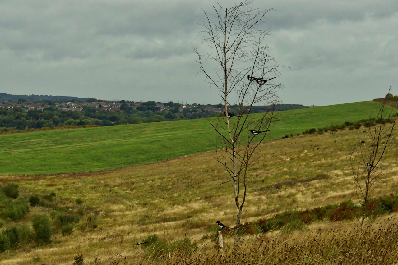
A mischief of magpies
One for sorrow, two for joy … How does the rhyme go? There’s seven here (including the one flying) that must be a secret never to be told. There are various collective terms for a group of magpies: a charm, gulp or tiding. Even a parliament and murder have been used although these two are…
-
Bransdale
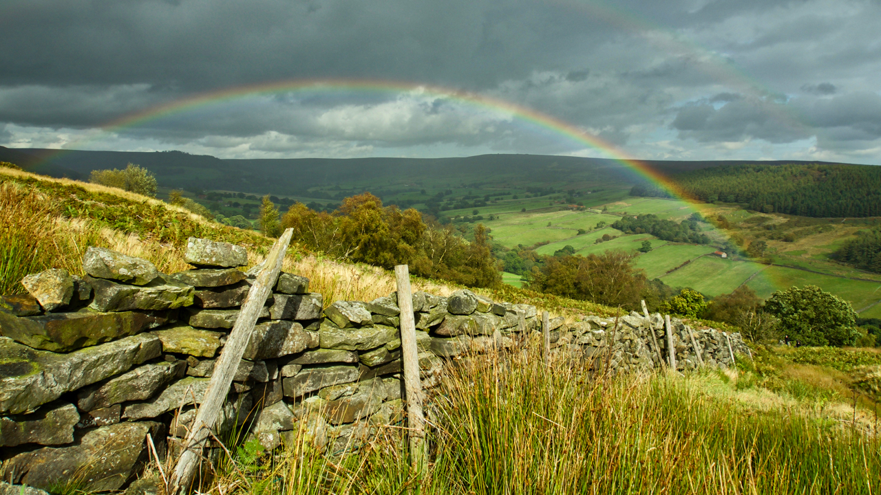
A refreshing day spent in Bransdale, making repairs to some of the field boundaries. Bransdale’s walls are quite distinctive. In other uplands, dry stone walls are constructed of two skins of stonework, usually dressed and tapering inwards towards the top, with the gap filled with small pieces. Bransdale’s walls are just a single skin, huge…
Care to comment?