Category: Tabular Hills
-
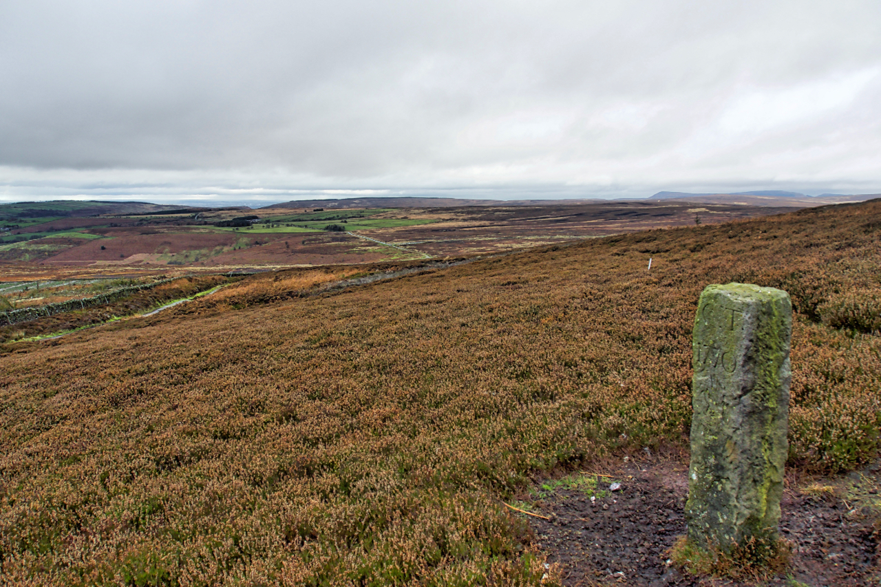
Boundary Stone, Hambleton End
Boundary Stone on Black Hambleton in the Tabular Hills.
-
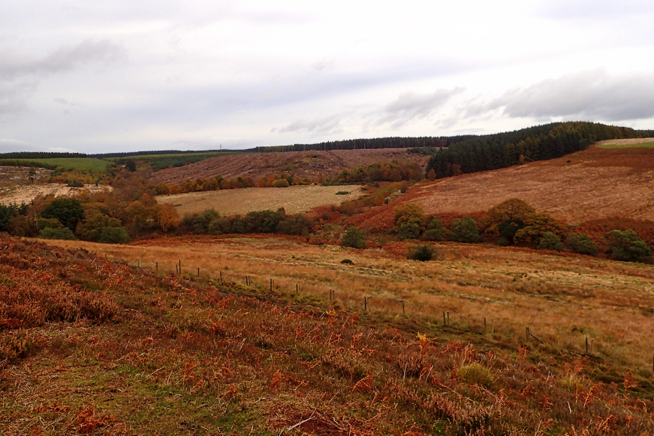
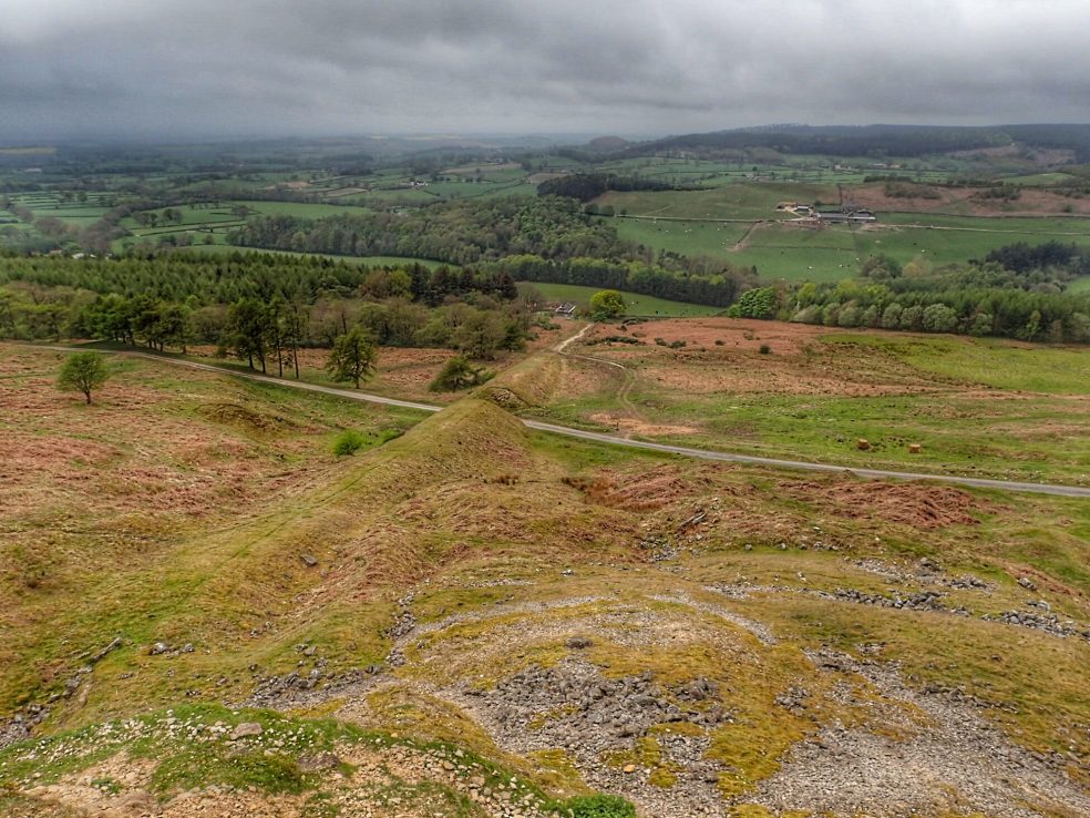
Grain Slack
Discovered a new area of moorland today. Thompson’s Rigg, part of the National Trust’s Blakey Topping property. Heather dominates the rigg, hiding the prehistoric field system, cairnfield and hollow ways. Across Grain Slack, a diverse shallow valley is Allerston High Moor, also Trust land. In the distance, the commercial plantations of Langdale Forest have been…
-
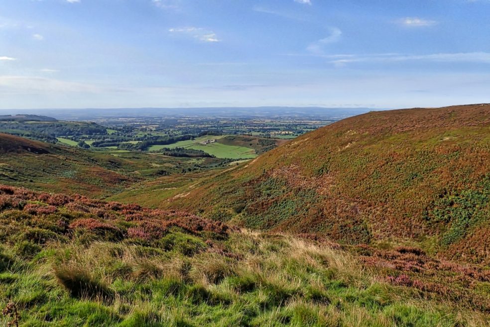
White Gill
In the Tabular Hills, limestone country in the southern half of the North York Moors and a view west over the Vale of Mowbray to the Yorkshire Dales, supposedly one of the “finest views in all of England”. White Gill, the stream at the bottom of a deep valley with no name, and downstream, the village of Kepwick.…
-
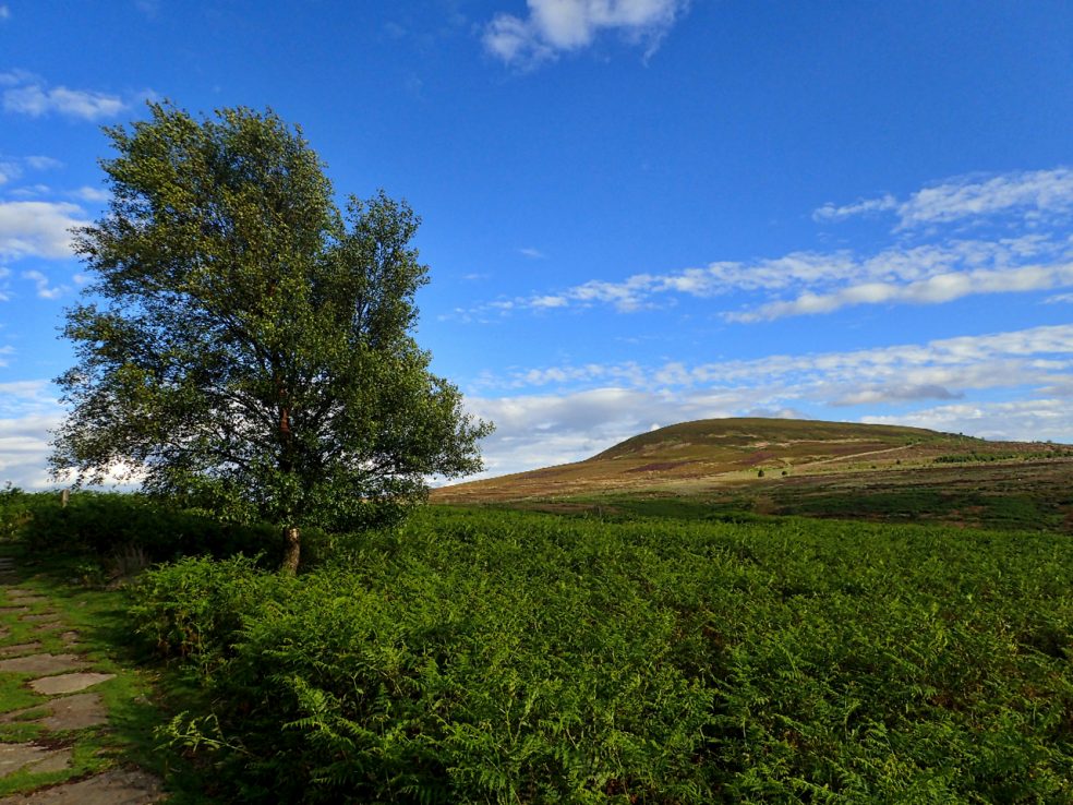
Black Hambleton
The Tabular Hills make up most of the southern half of the North York Moors. Hills with a hard limestone cap. At 1,308 feet Black Hambleton is the highest point making it, for hill bagging enthusiasts, both a Hump and a Tump. A Hump stands for HUndred Metre Prominence and is defined as a hill with a drop…
-
Kepwick Incline
Kepwick is a small village on the western edge of the North York Moors. The moors above Kepwick are limestone and was extensively quarried. This incline was used to haul the stone 800′ down to the valley floor below. Presumably there would have been a bridge carrying the incline over the road Kepwick to Hawnby road.…