Category: Tabular Hills
-
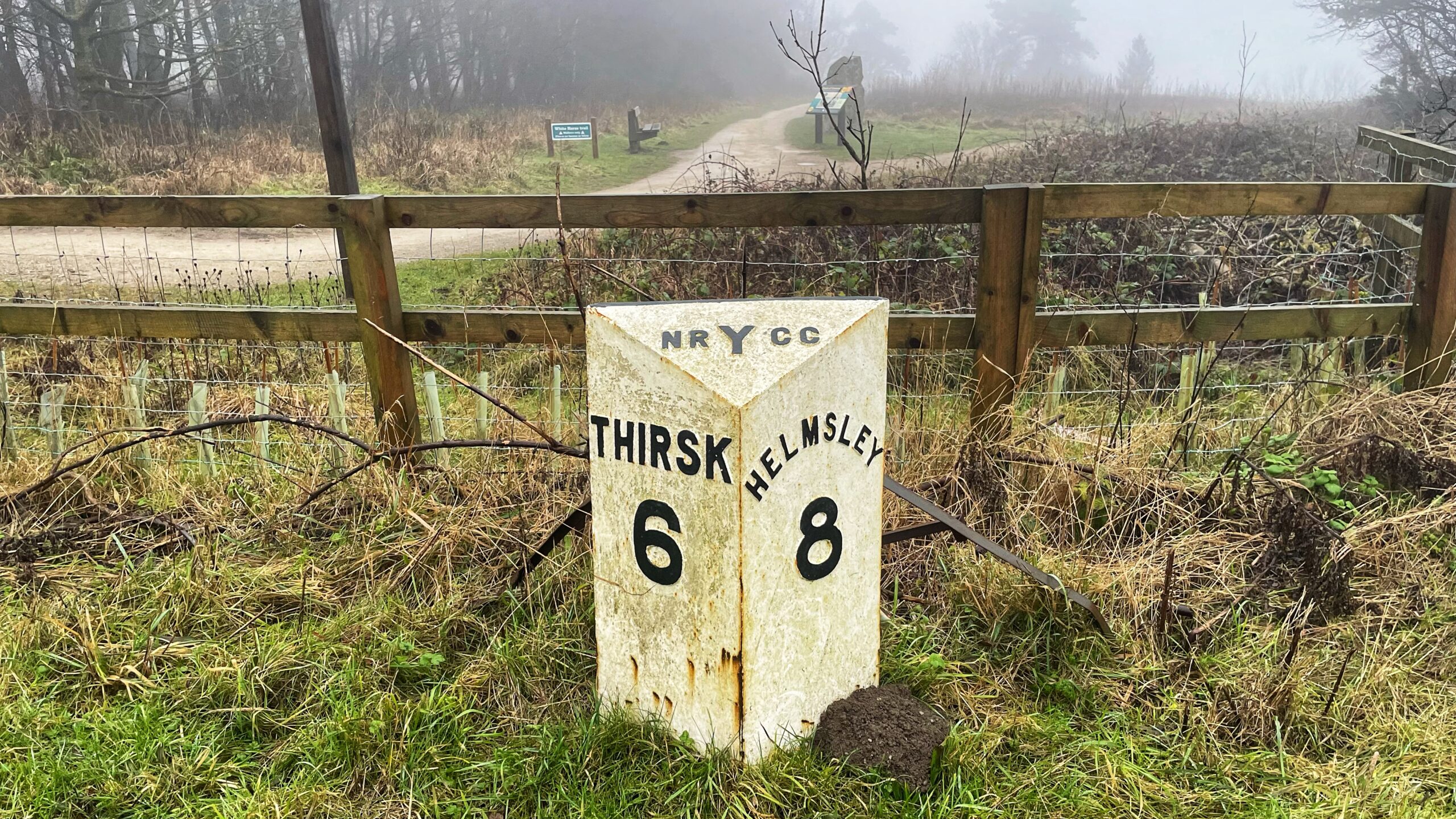
Sutton Bank’s Finest Object Today
The “finest view in England” decided to play hard to get on our trudge from Sutton Bank, and anything else worth photographing was equally uncooperative. So this posting is very much for the faithful. Those nerds who slow down for roadside trivia and feel a small thrill at a lump of iron with numbers on…
-
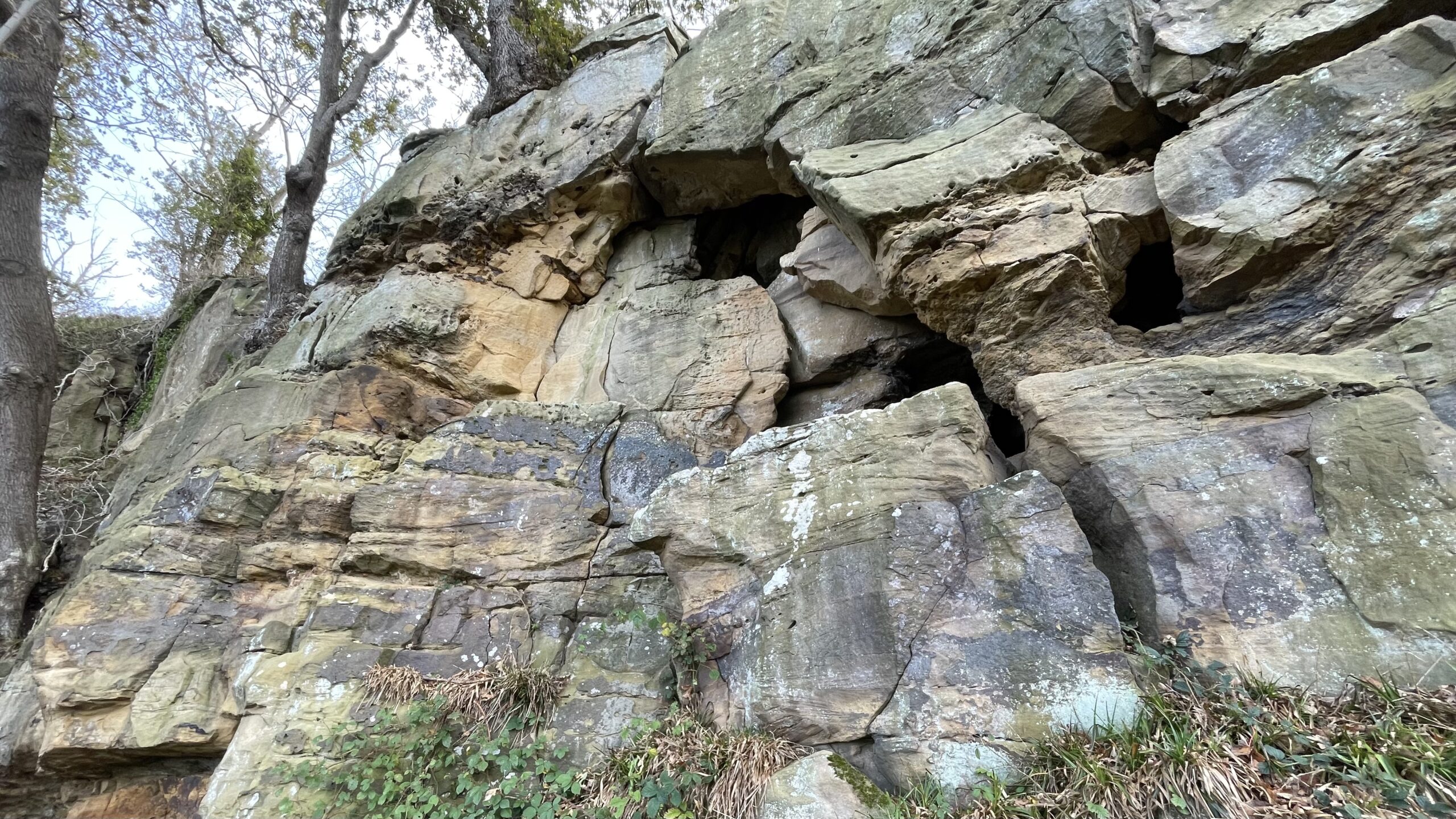
Hobthrush Hall
High above the village of Over Silton, recent felling has exposed cliffs that rear up like the broken ramparts of some forgotten fortress, appropriately named The Scarrs. Here lies a cleft in the rock known as Hobthrush Hall. The locals call it a cave, though it feels more like the scar of something ancient and…
-

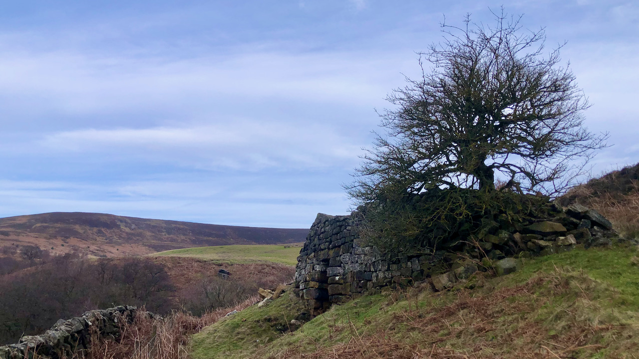
Boltby Scar: The Quarry That Fetched Four Bob a Ton
A view along Boltby Scar, on the western edge of Hambleton Down, where the wind brushes across an Iron Age promontory fort and ancient round barrows. Beneath them lies a long-abandoned limestone quarry, silent now, but once echoing with the clang of hammers and the groan of wagons. Nearly a century ago, in 1927, it…
-

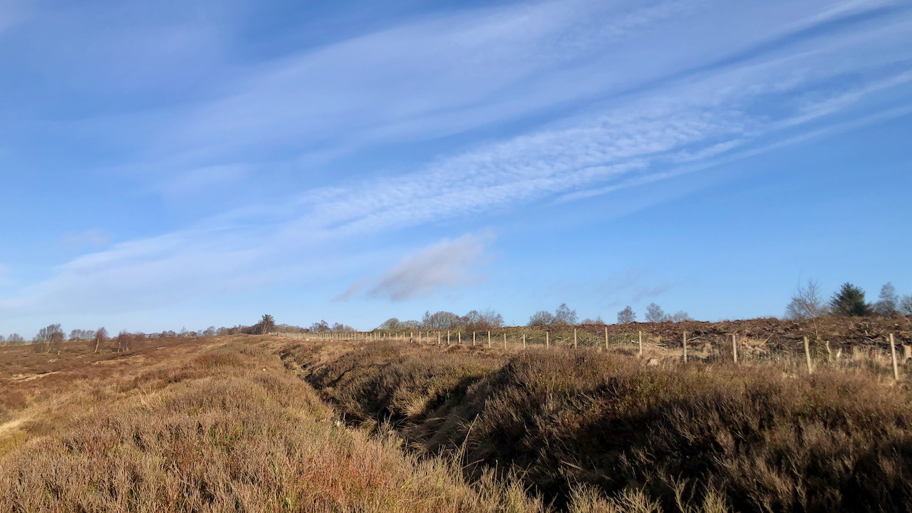
Osmotherley Moor: Sheep, Turf and Shooting Rights
Dramatic skies hang over Black Hambleton, its summit almost clear of cloud. The view is from Solomon’s Lane, a grand name for a track that no longer exists. The surrounding expanse is Osmotherley Moor, part of which is “waste land of the manor,” now the subject of an application by the Open Spaces Society to…
-

Gower Dale: Where a Railway Never Came
This is Gower Dale in the Hambleton Hills. On the far left stands the ruined shell of Gowerdale House. Rising in the centre distance is Hawnby Hill. A tranquil landscape, untouched by the grime and noise of industry. It could have been very different, had Victorian ambition not faltered. On Thursday, 19 May 1853, amid…
-

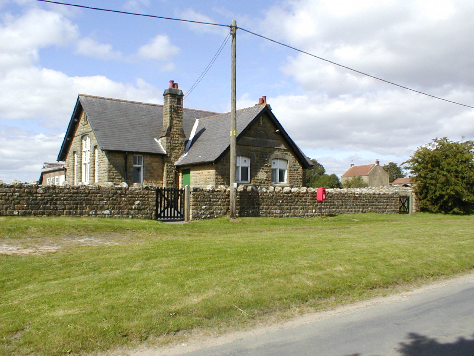
Turtle Doves and the Dew Pond of Newton-on-Rawcliffe
As we pedalled merrily through the village of Newton-on-Rawcliffe, we stumbled upon this delightful little dew pond. It was instantly recognisable from the photographs we’d seen in the Birds on the Edge exhibition at the Danby Lodge National Park Centre. This pond, restored by the North York Moors Trust, is now a haven for wildlife,…
-
The Stape Molasses Shale Mine and Railway
Whilst exploring the depths of the internet, I stumbled upon an article from the Moors Line Magazine, Spring edition of 1983, which delves into the intriguing narrative of the Stape Molasses Shale Mine and Railway. This railway, albeit short-lived, held a peculiar charm crafted to ferry “molasses” procured from a unique geological reserve. Within local…
-
High Bride Stone Dyke, Bridestones
On a pleasant morning at Bridestone Moor, near Dalby Forest, soaking in the apricity, and enjoying the azure sky. Regrettably, clouds gathered post-lunch. However, an opportunity presented itself to inspect an ancient dyke delineating the boundary between National Trust property and the Forestry Commission. Over several winters, we endured all weathers on this moor, dedicating…
-
Lime Kilns of the Tabular Hills
One of the many limekilns that can be seen dotted around the Tabular Hills. These were used to produce agricultural lime to be spread across the fields as a sweetening agent and to replenish losses, a traditional method in the 18th and 19th centuries for improving the fertility of acidic soils. Limestone, extracted from nearby…
-
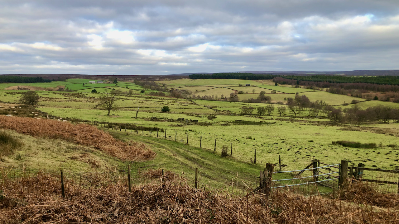
Tragedy at Snaper House
The upper reaches of the River Riccal, one of several valleys draining the southern moors through the Tabular Hills. Downstream, Riccalldale hides behind its wooded, narrow dale entrance. Head up a bit, and the catchment broadens and becomes shallower, going by the name of Cowhouse Beck. It’s mostly a mix of meadow and pasture intakes,…