Category: Roseberry Topping
-
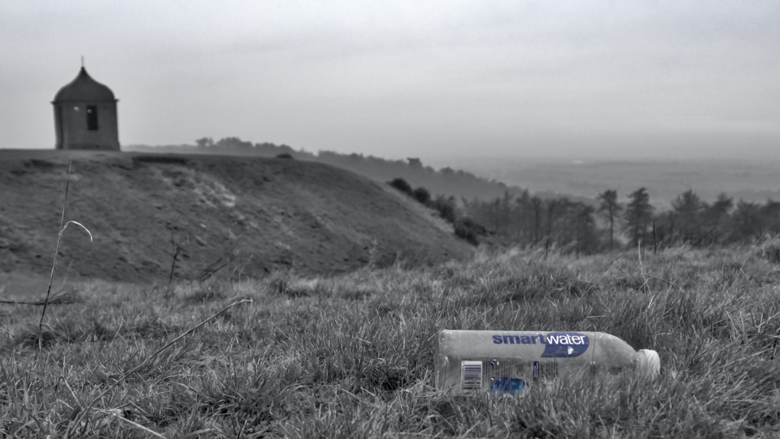
Smart water
Inspired by the humble cloud. Water as pure as the first drop of rain. Northumbrian spring water Vaporised to remove impurities, Then condensed back to … water. With mineral electrolytes added Potassium, calcium and magnesium. Replicating the water cycle. In a bottle of Polyethylene Terephthalate, Light and strong, Perfect for backpacking, Made from 30% of…
-
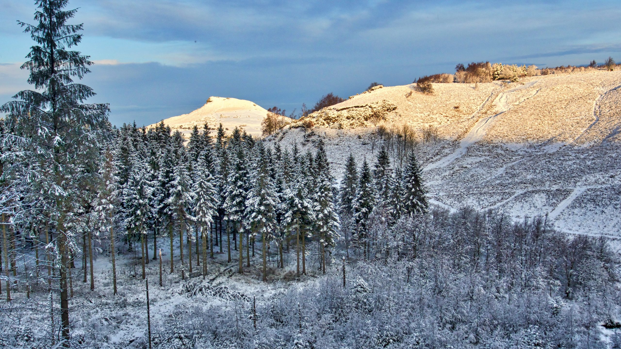
Roseberry through Gribdale Gap
They say the Eskimos have 50 different words for snow but this is apparently a myth. The Swedes certainly have 25 but the top prize must go to the Scots who have had 421. From “Mell-moorin”, a fall of fine, drifting snow to “skelvie“, large flakes of softly falling snow. Now I don’t know what…
-
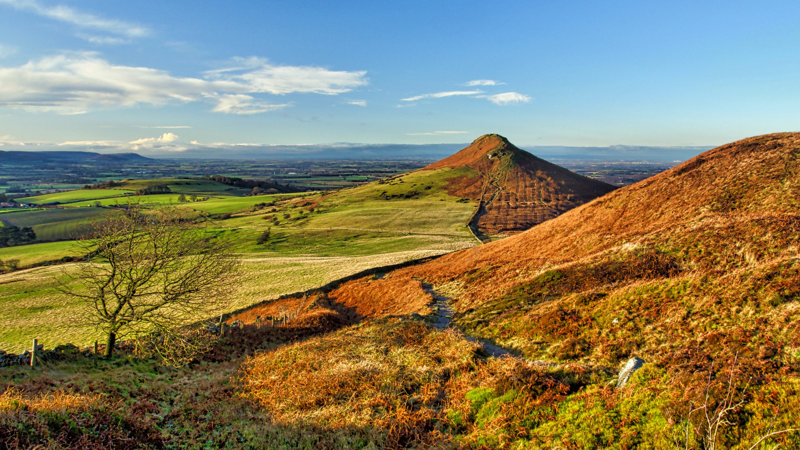
Vae diei
Roseberry Topping A familiar homely view for a day of doom and gloom. To remind us that life goes on and all is not lost.
-
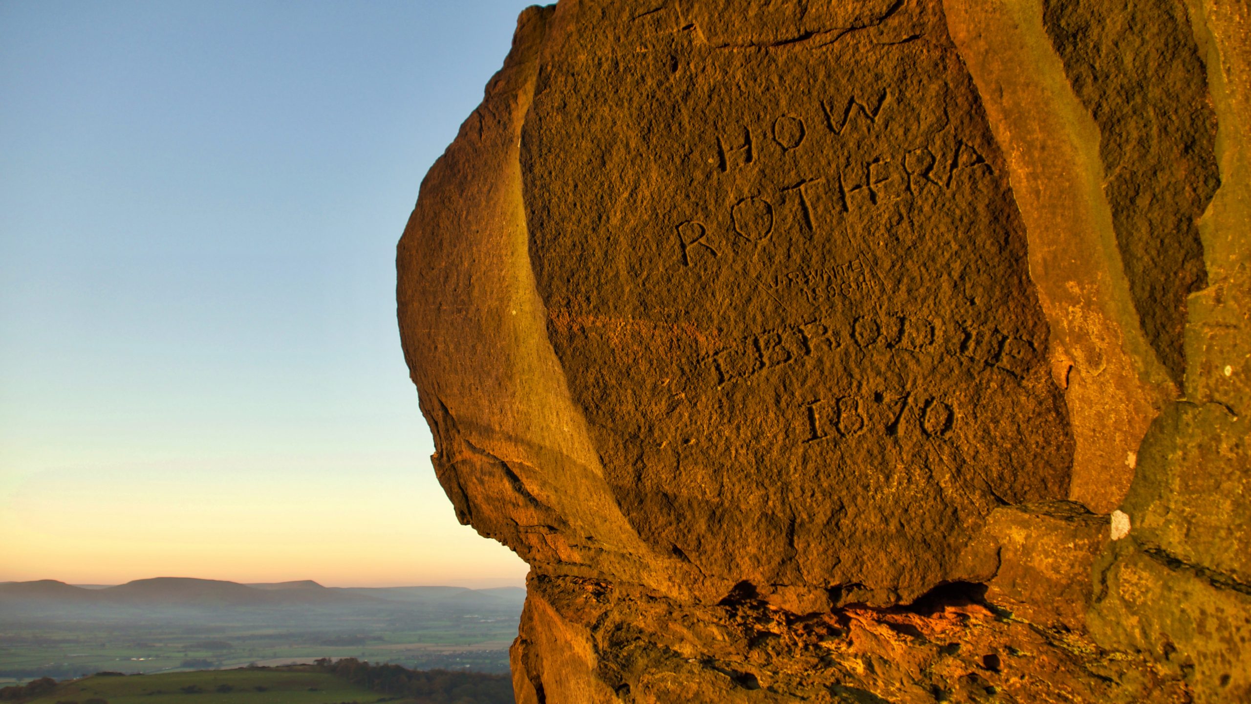
Victorian Graffiti
The first of the morning sun highlights some Victorian graffiti on Roseberry. I am somewhat ambivalent about graffiti. Modern stuff is without a doubt hideously scarring but anything aged just a little bit becomes intriguing. When Mr Brodie carved this Queen Victoria was celebrating 33 years on the throne, Gladstone was Prime Minister and his…
-
Ounsbury toppin hill
So Christopher Saxton annotated the hill in his Atlas of the Counties of England and Wales which he published in 1579. Commissioned by Elizabeth I, it was the first definitive map of England and Wales with each county being engraved on a separate copper plate on a scale of 1″ to 3⅓ miles. Maps were…
-
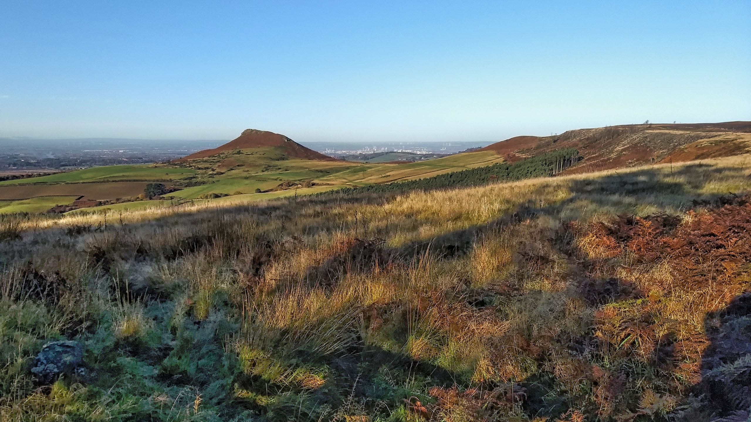
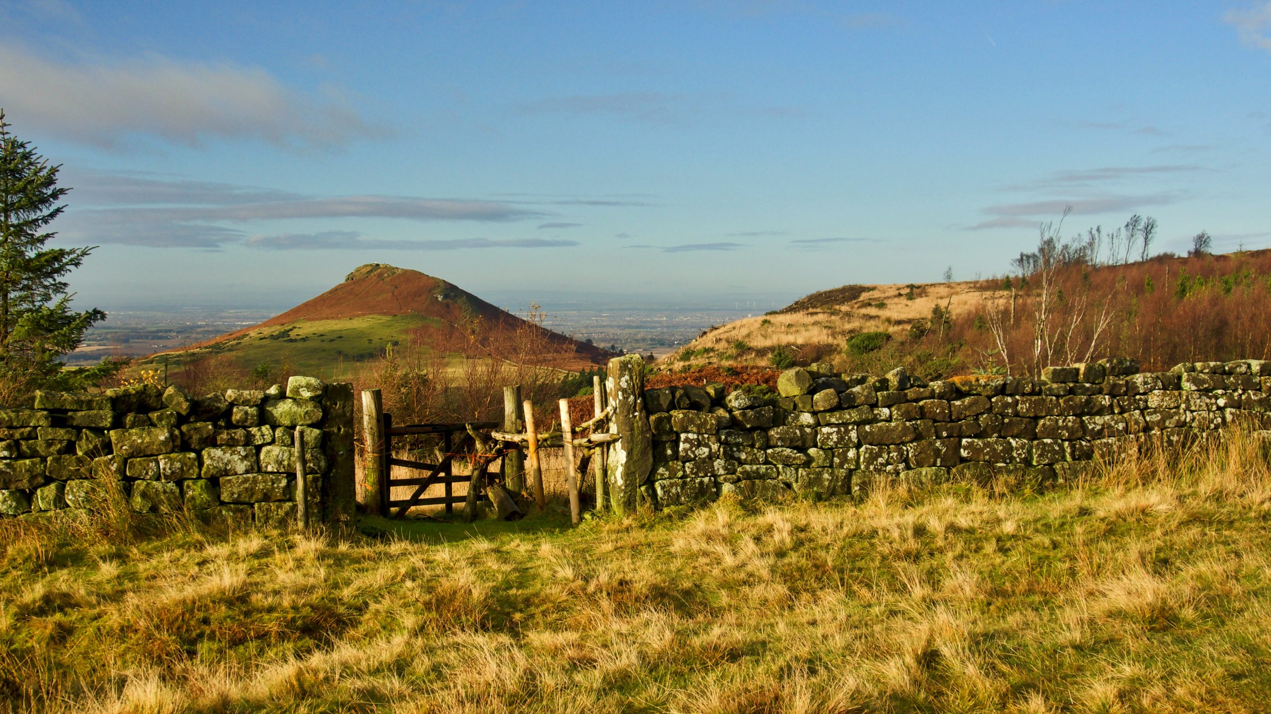
Roseberry and Black Bank
Odin’s hill from Ayton Bank. On the right is Little Roseberry with Black Bank almost clear-felled of its coniferous plantation. It’s barely ten years ago but I find it hard to remember what it was like. A tour of the escarpment on a glorious morning with blue skies. Lower down the fields are a bit…
-
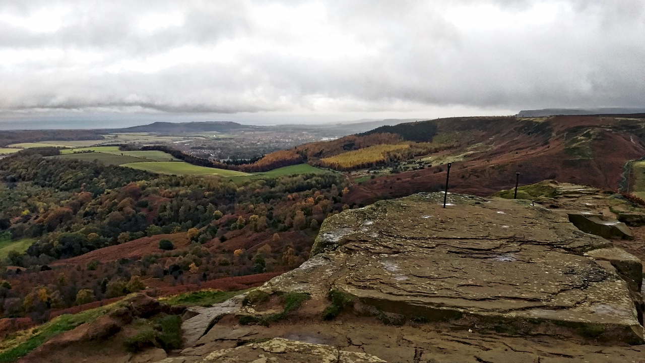
High Bousdale from Roseberry
A view from the summit of Roseberry Topping towards Guisborough down the forested valley of High Bousdale, between Bousdale Hill and Ryston Bank with the Hanging Stone at its nab. High Bousdale was once contemplated as a means of access to the ironstone holdings below Roseberry. There would have been an incline from the Middlesbrough…
-

Roseberry in the Golden Hour
That last hour before period sunset, when the sun is low on the horizon and its rays pass through the atmosphere for a greater distance, becoming weaker, more diffracted, and appearing redder. The spoil heap is from the transhipment yard where the iron ore from the Roseberry Mine was transferred from the narrow-gauge railway onto…
-
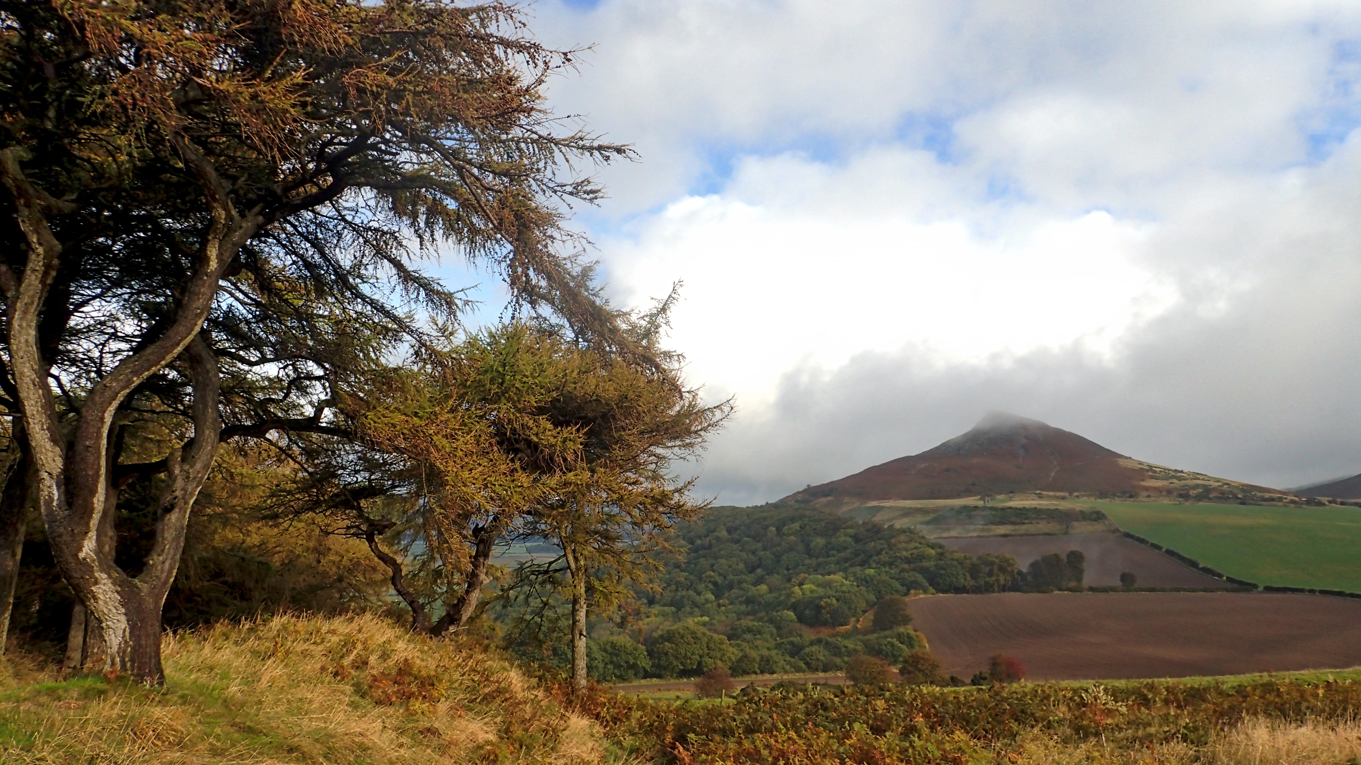
Roseberry
It was raining when I set off and ten minutes before I took this, I was in cloud on the summit. And then the sun came out. Turned out nice. Open Space Web-Map builder Code
-
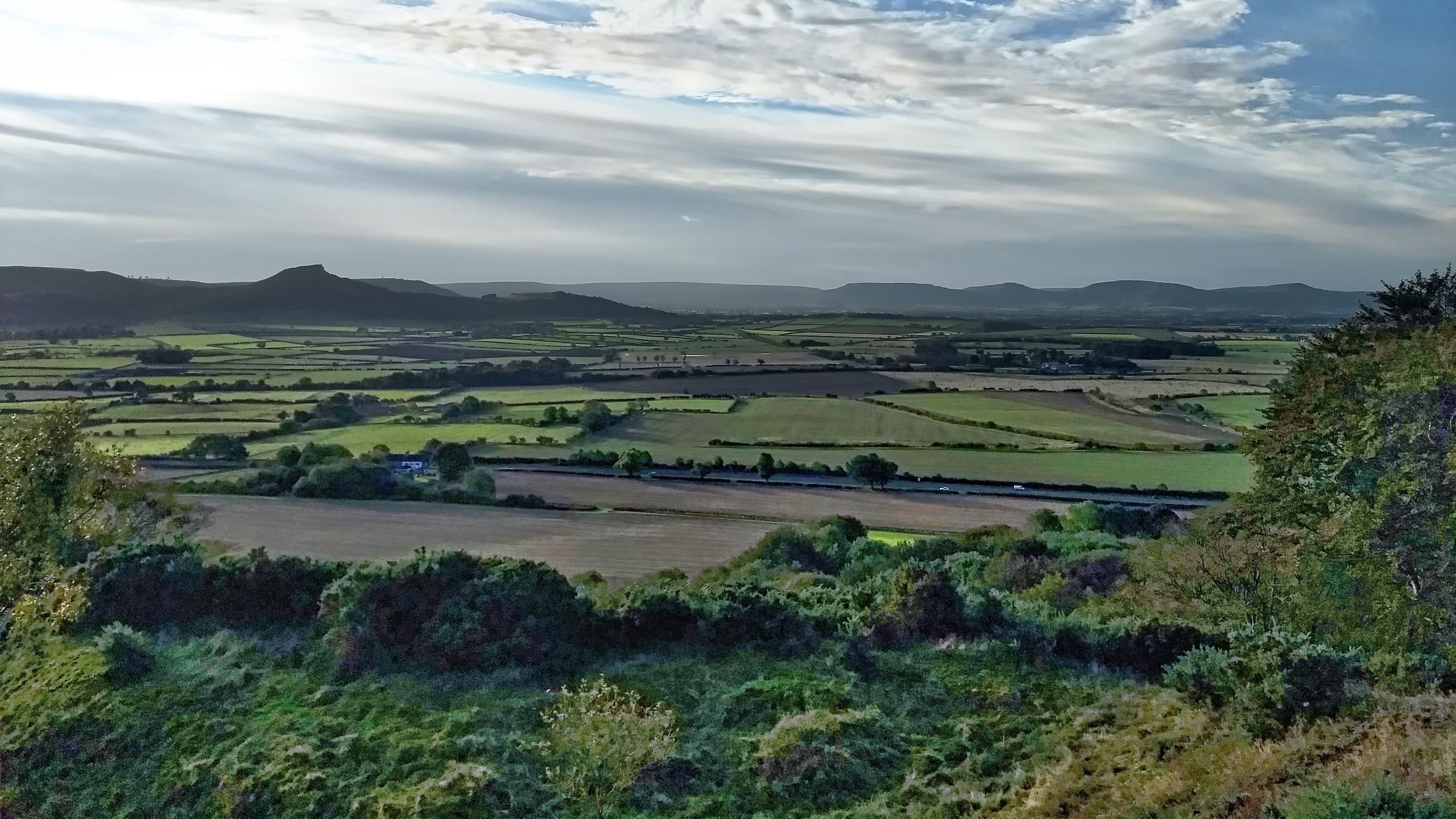
The Carrs
An uncommon view of Roseberry across the flatlands of Moreton Carr and Upsall Carr but one that would be easily recognised by commuters on the A171 Guisborough By-Pass. The ‘Carr’ element of these names comes from the Old Scandanavian word kjarr meaning a marshy area, giving an insight into the terrain in medieval Cleveland. Open…