Category: North York Moors
-
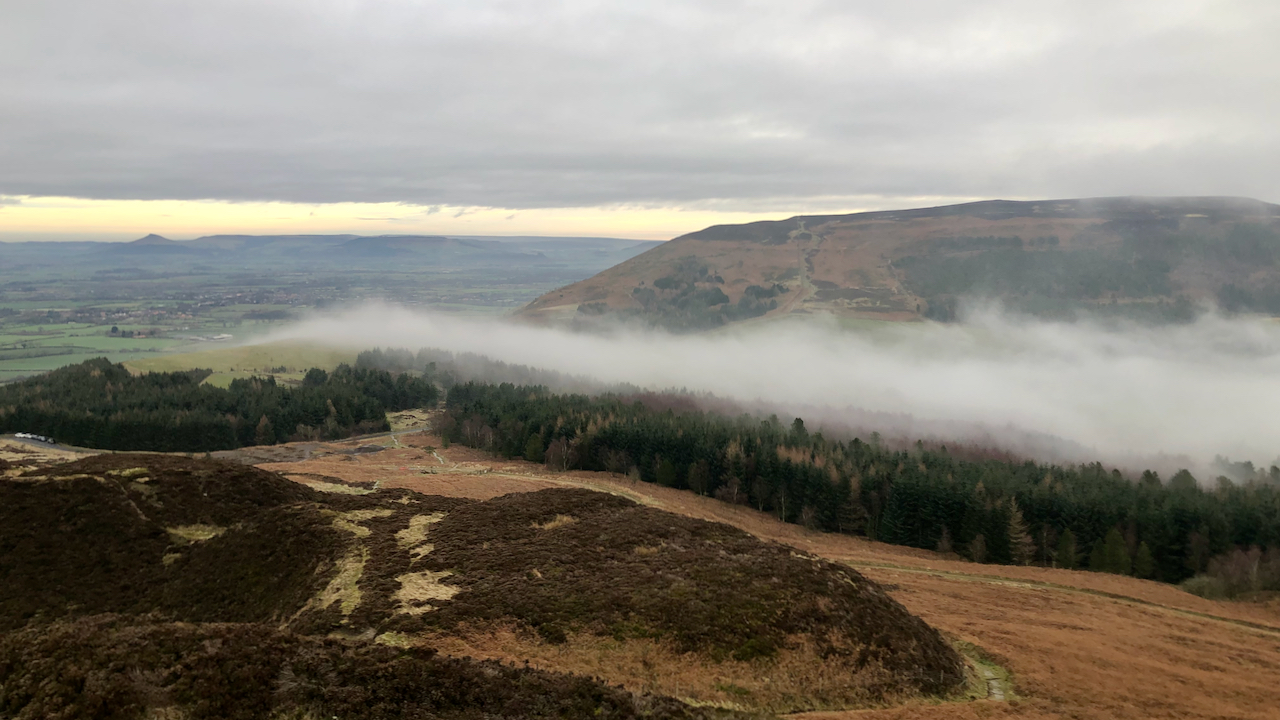
The sight of low cloud from Bilsdale pouring over the cols in the Cleveland Hills always leaves me with wonder
This is looking down on Green Bank, a flattish ring contour rise marking the head of Raisdale, and separating Cringle or Cranimoor from the steep slope up Carlton Bank. The col is nowadays more commonly known as the ‘Lordstones‘ on account of the country park. On the 22nd December 1892, the Daily Gazette for Middlesbrough…
-
In 2013, David Cameron said that he wanted to talk about the future of Europe
It was ten years ago today that Cameron said the British people must “have their say” on Europe when he pledged an in/out referendum if he is re-elected . The leader of the opposition, Ed Miliband said it would “put Britain through years of uncertainty, and take a huge gamble with our economy“. And the…
-
With a teachers’ strike likely, it seems timely to point out that exactly 50 years ago today teachers resumed their normal working after a three-month work-to-rule dispute with the local authority
On this day in 1973, the Daily Mirror published interviews with some Teesside pupils: HILARY COX, age 13: “It’s rotten, it’s boring, and my Mam says she’s sick of me going in and out like a yo-yo all day. There’s nothing to do at all. “I’ve been going to all the classes that have been…
-
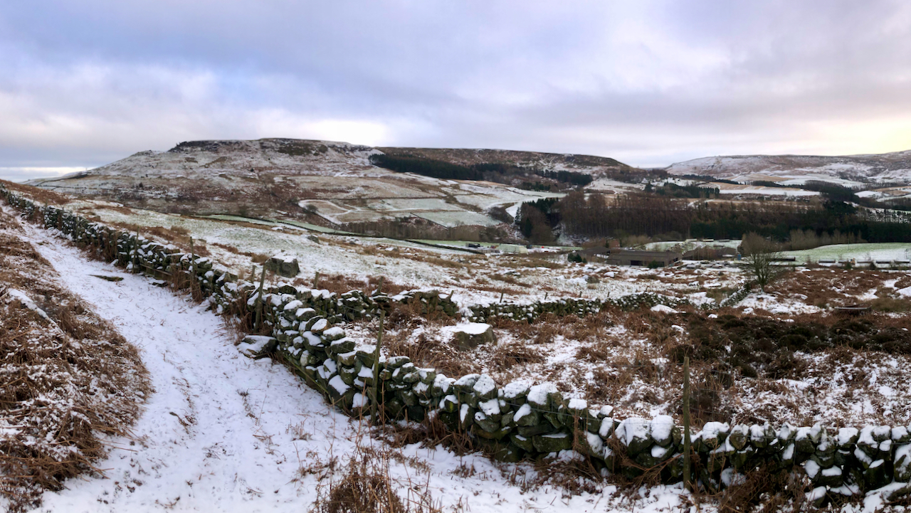
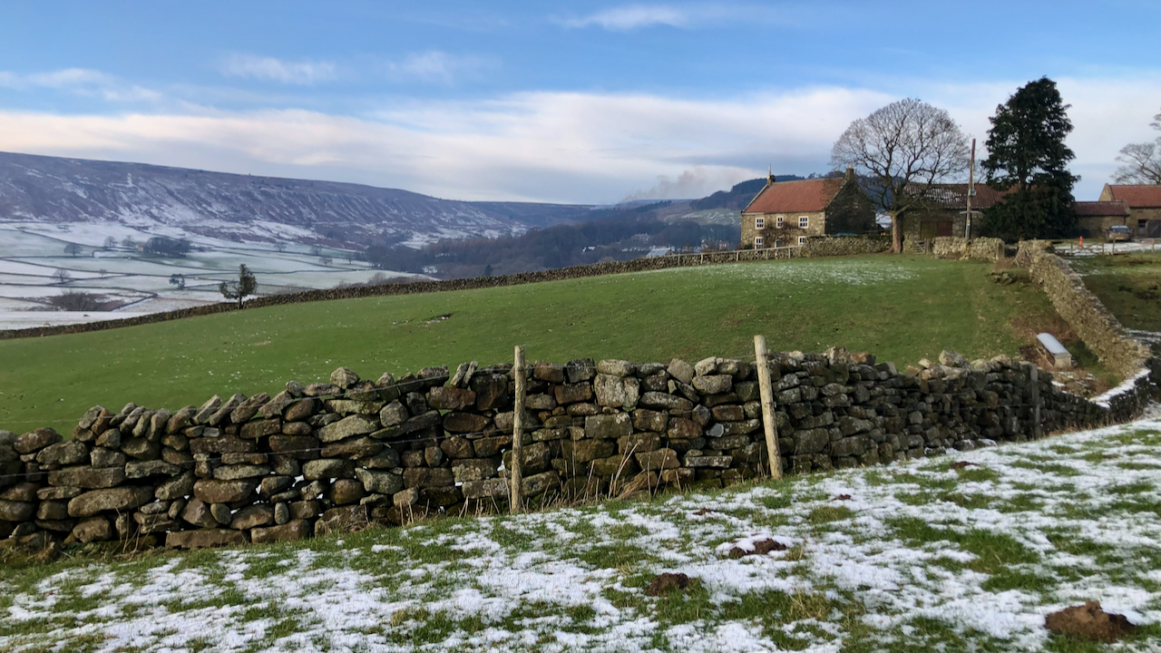
A chilly view across Garfit Gap to Hasty Bank
Right of centre is Whingroves, a farm which appears to have evolved into industrial pheasant rearing. However, in 1896 it was a typical mixed farm run by Isaac Garbutt, a surname that has been on the Bilsdale parish register since the 16th century. That year, Isaac’s wife Mary gave birth to a boy who was…
-
Tis the season for burning
The annual burning of the heather moorland has begun — to the left of the house on the hill, up Badger Gill. Several of the tell-tale plumes could be seen on the way over into Bransdale. The house is Smout House, a mid-19th century farmstead, although until the 1952 edition of the O.S. map, the…
-
Winter sunshine, with a light dusting of snow, casts a golden hue over an abandoned meander of the River Leven near Woodhouse Farm in Easby.
A meander is caused by erosion of the concave outer bank and deposition of sediment onto the convex inner bank. This often results in a narrow neck being formed which is prone to being broken through by floodwaters to create an ox-bow lake. Eventually, over time, the lake will silt up with fine-grained, organic-rich sediment…
-
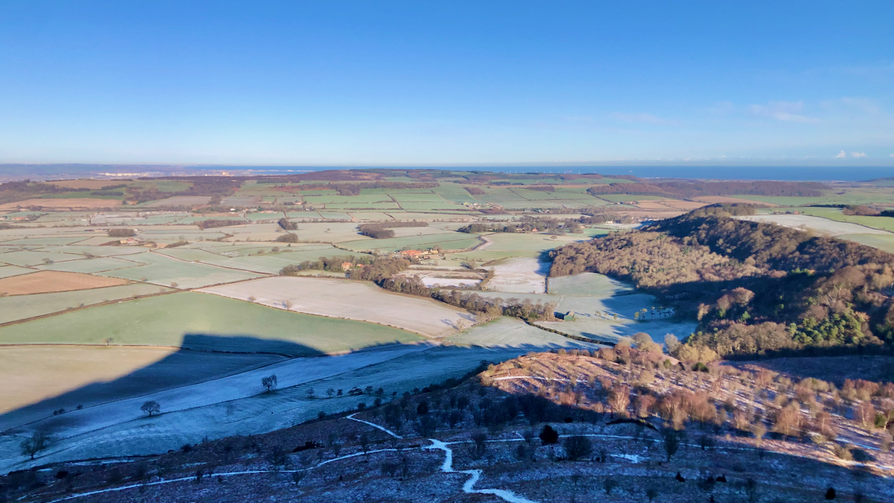
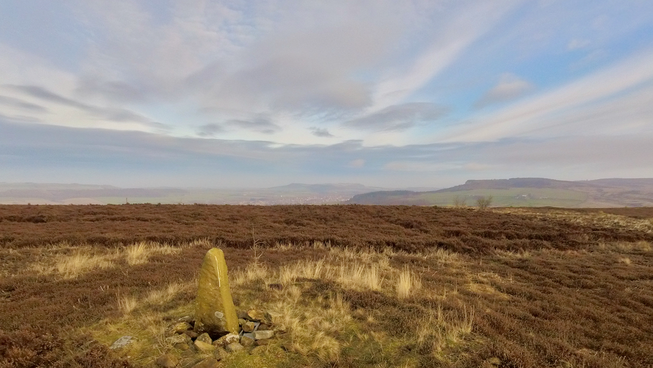
A view from today’s constitutional
No prizes for guessing that it was taken the summit of Roseberry looking north towards Pinchinthorp. A lovely cold winter’s day, with a smattering of overnight snow. This was actually my second ascent of Roseberry — here’s a photo from the same spot on that first climb: So no prizes available today but a certain…
-
Today is the 380th anniversary of the Battle of Guisborough, fought between the Royalists and the Parliamentarians in the English Civil War
I’ve posted about the battle before: here and here. The conventional thinking was that the battle took place on the east side of the town, in fields off Butt Lane. But recent metal detector finds suggest another site for the battle — on the west side of the town, to the north of Hutton Hall.…
-
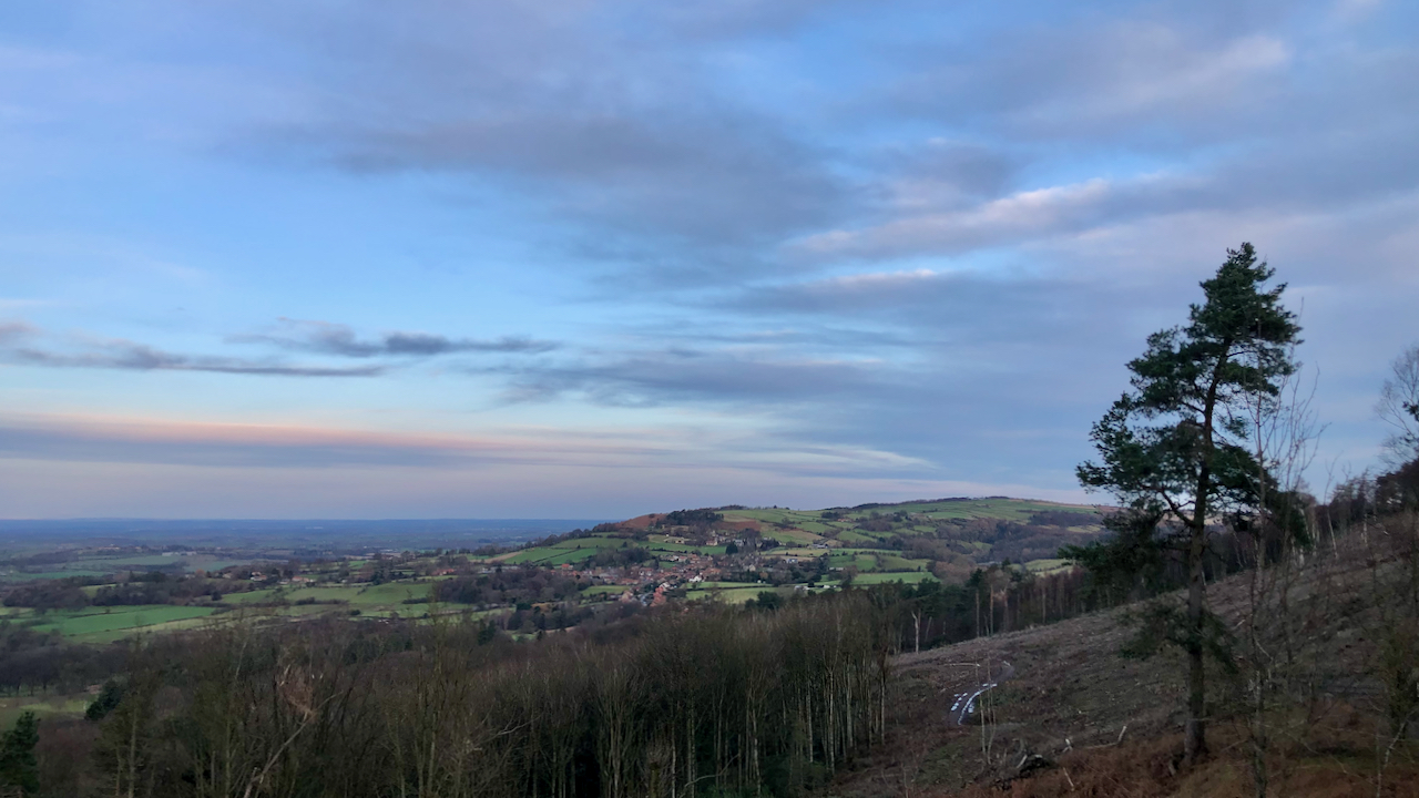
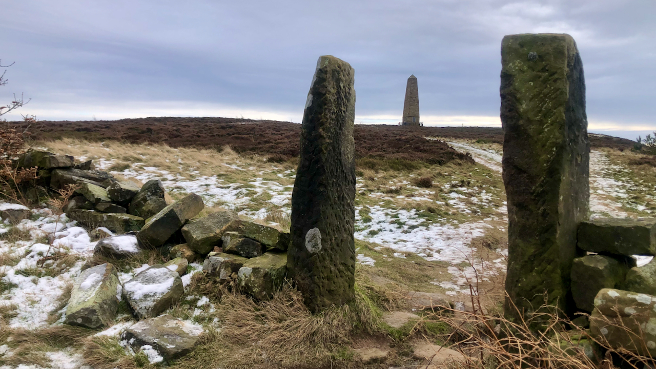
Recent deforestation of Thimberby bank has unveiled stunning vistas of the Vale of Mowbray
To the north, the honeypot village of Osmotherley, lies snuggly between the Hambleton Hills and the Cleveland Hills. The name, Osmotherley, is derived from ‘ley‘, a clearing, belonging to ‘Asmund’ or ‘Osmund’. Its title was recorded in the Domesday Book as ‘Asmundrelac’, before being transformed to ‘Osmundeslay’ and ‘Osmonderlay’. Yet, there is also a legendary…
-
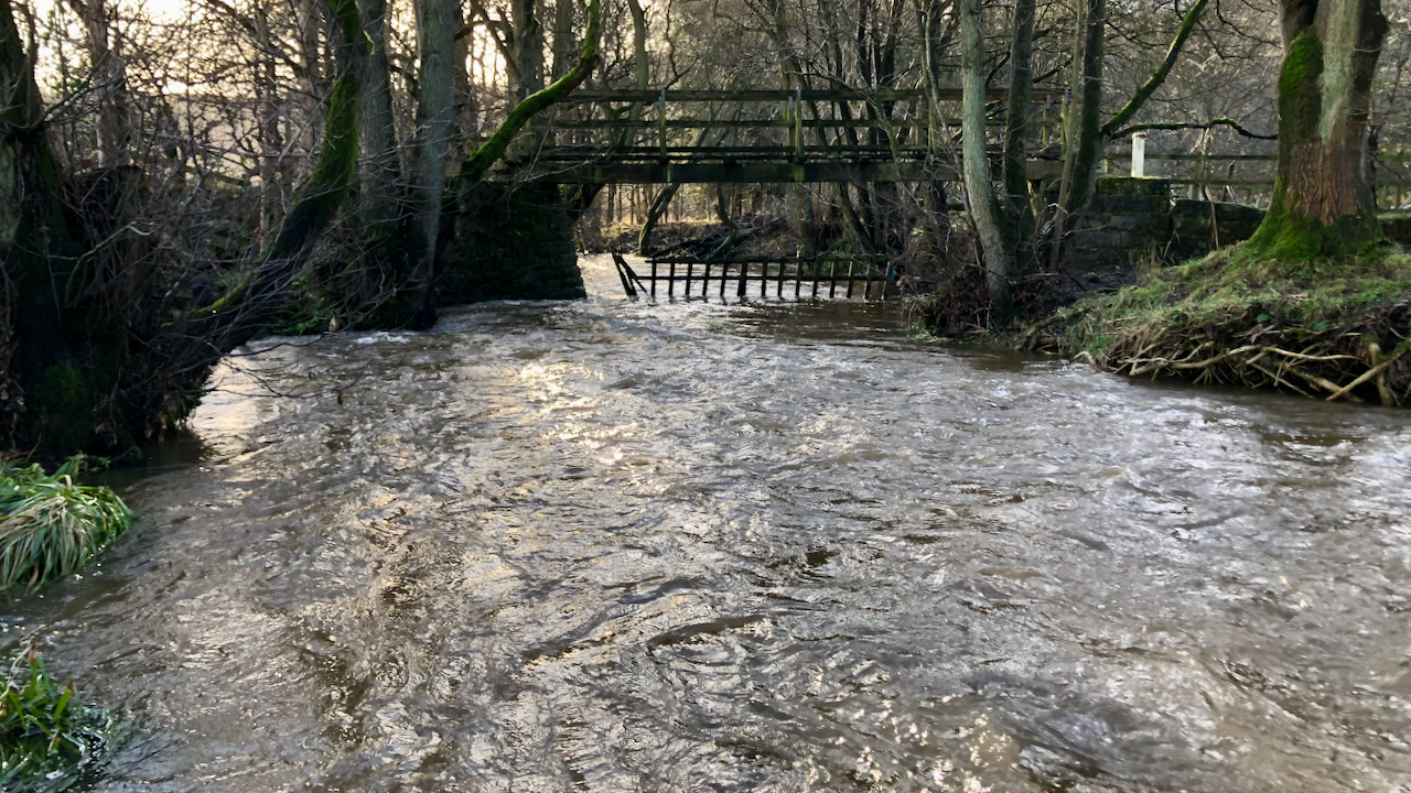
Sarkless Kitty
In 2015, I posted ‘The Sad Tale of Sarkless Kitty‘, a harrowing story of a woman from Gillamoor who, allegedly having been romanced and forsaken by a farmer from Hutton-le-Hole, was supposed to have ended her own life in the shallow waters of the ford that crosses the River Dove while carrying his unborn child.…