Category: North York Moors
-
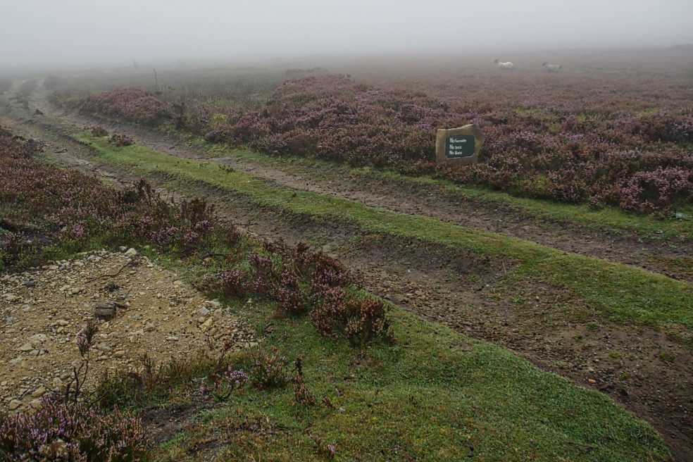
Kempswithen
With low cloud shrouding the North York Moors I had to dig into my bank of “bad weather” ideas. Earlier this year I recalled seeing a large new sandstone “PRIVATE NO ACCESS” sign which I thought a bit over the top. So I headed for Kempswithen, the site of a 18th-century agricultural experiment but now…
-
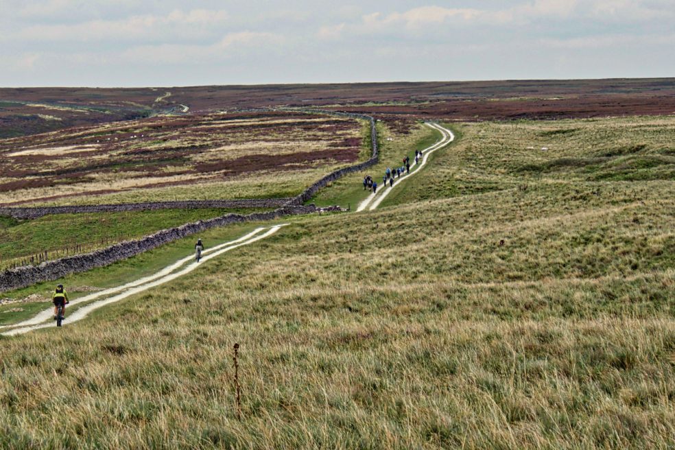
Hambleton Street
The ancient drovers’ route along the western edge of the North York Moors. A route that probably has been used since prehistory. The name “street” implies Roman usage and it’s mentioned by name in a document of 1577. Traffic peaked in the 17th and 18th centuries when herds of cattle were driven from Scotland to…
-
Parci Gill
Parci Gill is a tributary of the River Rye nestling between Cow Ridge and Sour Milk Hills on the moors to the west of Bilsdale. The name, Parci, sometimes written Parsi, is unusual and its etymology is difficult to explain. It has been suggested that it may predate the more usual Old Norse and Anglo-Saxon roots.…
-
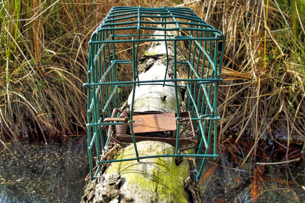
Spring trap across Sleddale Beck
Not a pretty picture. Just an example of the type of traps used to ensure the heather moors are eradicated of small mammalian predators, such as stoats and weasels, which may feed on the young grouse chicks. Complete eradication of all “vermin” is the aim. This is in spite of the moors being designated a…
-
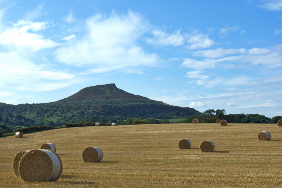
Roseberry from Pinchinthorp
Another view of Roseberry Topping, this time from Pinchinthorp on the Great Ayton to Guisborough Road. Pinchinthorp is an ancient township, the name deriving from Pincium, or Pinchun, a Norman family who held land here in the 12th century. To describe Pinchinthorp today as a hamlet is a bit of an overstatement.
-
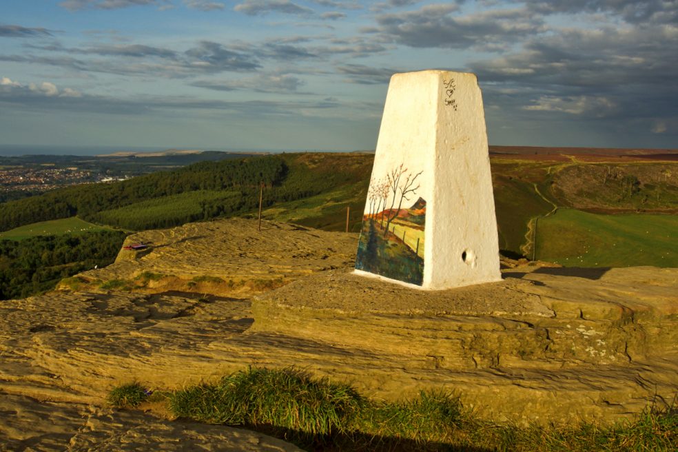
Roseberry Art
A really good piece of work by Rachel Lonsdale, simple but effective. But I’m not convinced Roseberry needs it. I fear another step towards turning the National Park into a theme park. The idea is to discourage graffitists but with the artwork only on one side, there are three other blank canvasses. It is only a…
-
Hasty Bank
An unexpected surprise as the sun broke beneath the bank of thick cloud that had covered Cleveland all afternoon. The light lasted a few minutes before the sun sank below the horizon. I happened to be at Bank Foot at the time, near Ingleby Greenhow.
-
Hutton Moor
This stand of larch has always intrigued me. It first appears on the 1952 edition of the Ordnance Survey map, is circular and isolated on the heather moor. It can not be self-seeded. Who planted it? And why?
-
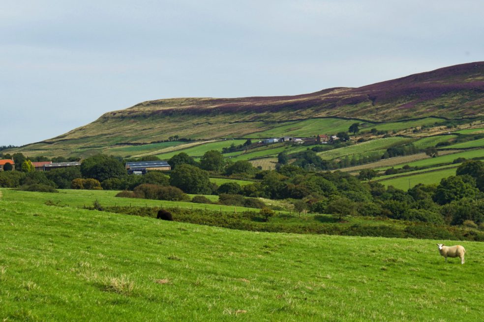
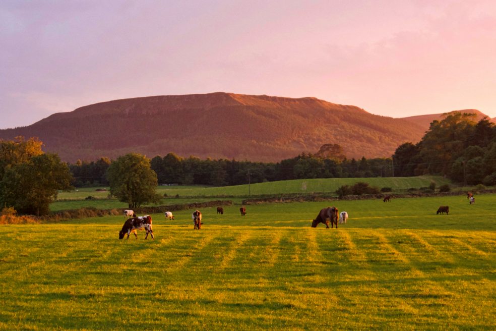
Raisdale
Back from two weeks in the Outer Hebrides and already planning next year’s trip but as John Denver sang “hey, it’s good to be back home again”. This is the eastern branch of Raisdale with Beak Hills farm below the narrow ridge of Cold Moor or, as it was once called, Mount Vittoria.
-
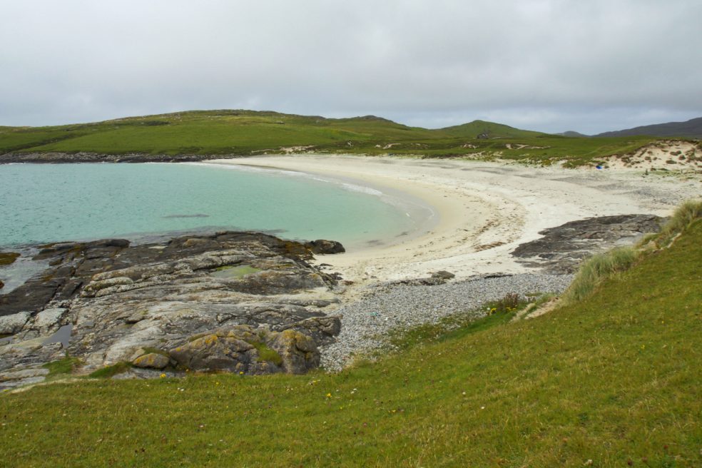
Bàgh a'Deas
The south beach, one of three on Vatersay, clean, white and sandy; and the least frequented.