Category: North York Moors
-
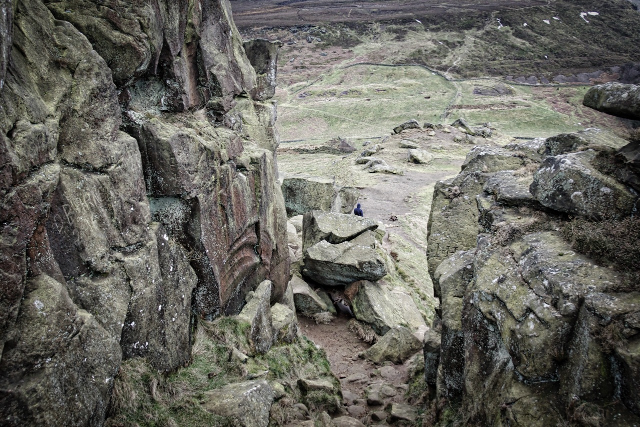
The Sheep Walk
A view familiar to Cleveland Way Walkers and Coast to Coasters. Both long-distance trails pass through this gap between outcrops of rocks collectively known as The Wainstones. The climbers refer to the gap as the Sheep Walk, although sheep will need to resort to scrambling to climb it. A Danish chieftain was supposed to have…
-
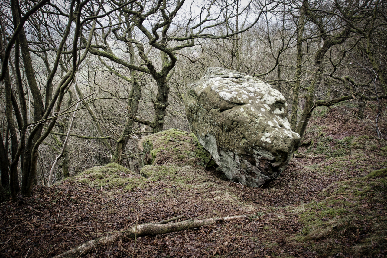
The Cop Loaf
Exploring the wooded hillside of Beacon Scar above Ingleby Arncliffe in search of the ruins of Coploaf Cottage. This is not shown on modern maps but appears on the Ordnance Survey 6″ 1857 edition. The site is now covered by forestry planting but the ruined walls are easy to trace and eventually, I stumbled upon…
-
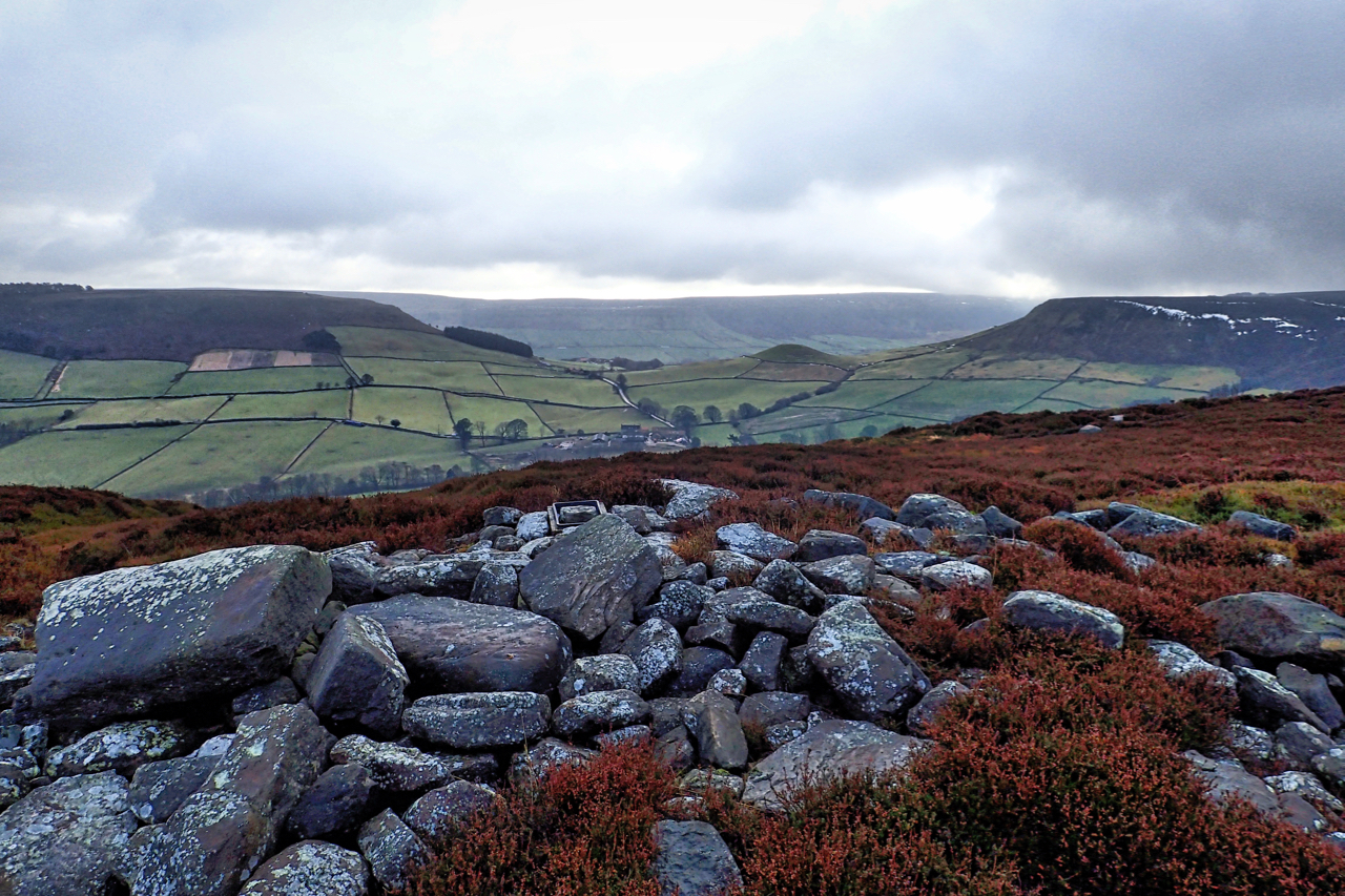
The Old Hell Way
Danby Rigg, a landscape of human activity since prehistoric times. A promontory of heather moorland separating the valleys of Danby Dale and Little Fryup Dale, cross dykes, field systems, burial mounds, standing stones are strewn about. Two medieval tracks cross the rigg leading from Fairy Cross Plain, the col between the two dales of Friga,…
-
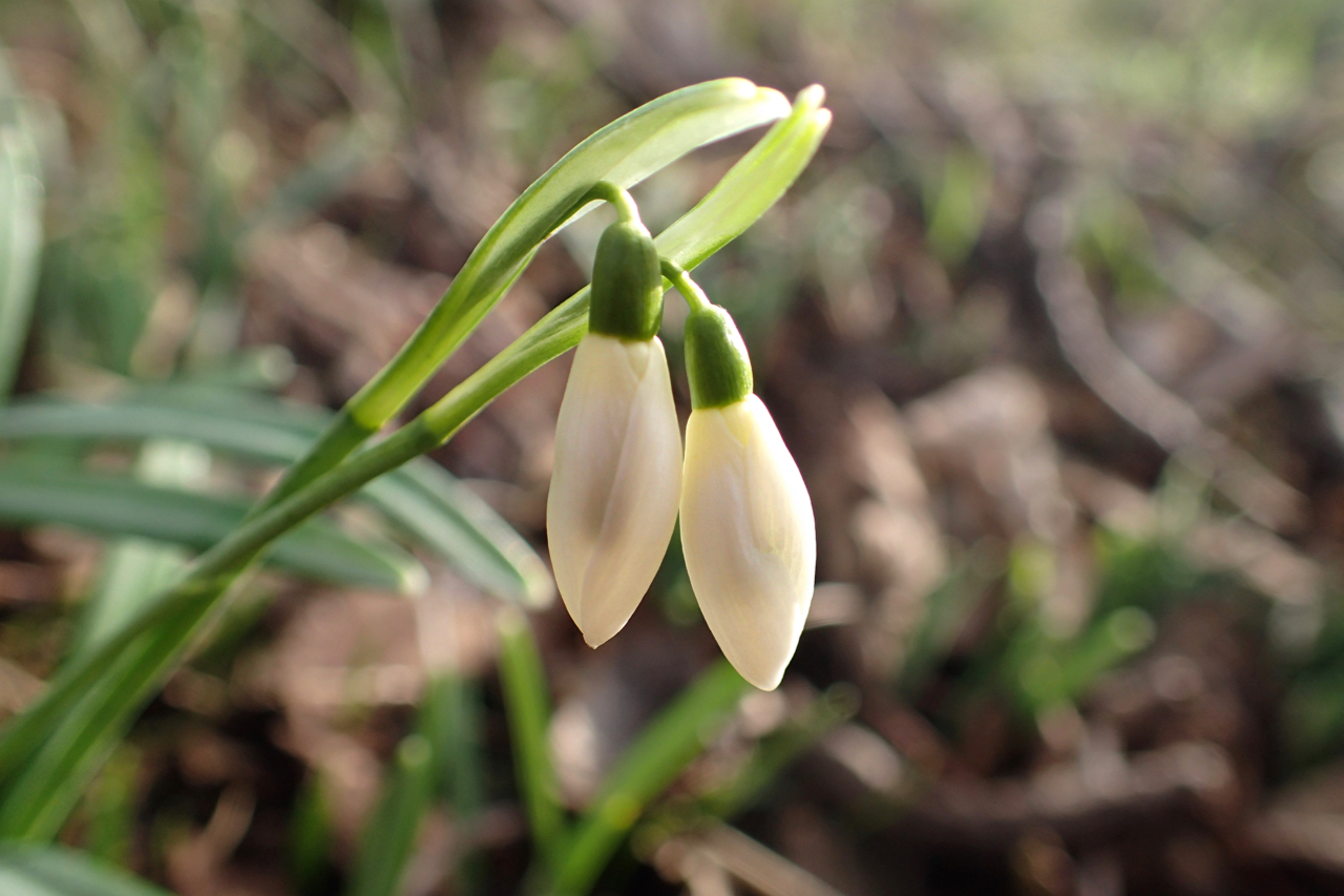
First snowdrop of the year
I saw my first Snowdrop today. In the wild that is, I had noticed some in the garden last weekend. This one was under the canopy the shade of an oak tree in what will be in a few months time a bracken-covered glade in Newton Wood at an altitude 200m asl. I suspect it’s…
-
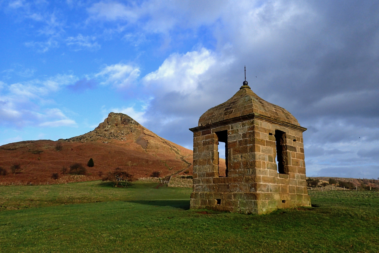
Passing of a front
A windy start, up on to Great Ayton Moor beneath a leaden sky. On Roseberry, sunbeams broke through to the south. Down at the folly and the sun was fully out, blue sky and a lovely end to the day. Open Space Web-Map builder Code
-
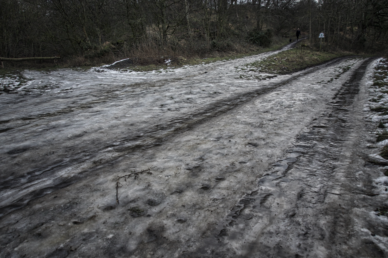
The thaw begins
With the forecast expected to top 11ºc later today the thaw is well and truly underway leaving the tracks of Cliff Rigg Wood a lethal sheet of ice. Apparently, glocken is a Yorkshire term for the thaw, when the snow clears, a word derived from Old Norse. The modern Icelandic word glöggur, to become clear,…
-
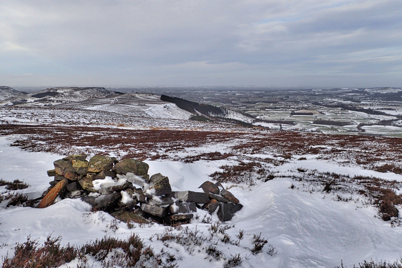
Round Hill Memorial Shelter
Many of you will know I don’t agree with memorials. Benches, plaques and rock carvings littering the moors. But this one has been tucked away discretely off major paths overlooking Greenhow Botton for 46 years and I didn’t know it existed until very recently. I thought it was a shooting butt at first. A circular,…
-
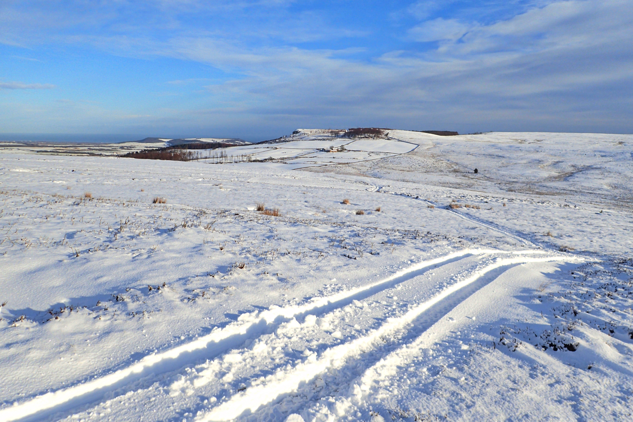
Highcliffe Nab from Percy Rigg
This must be a first. It’s rare that I take a photo from the same spot I’ve used previously but to find myself in exactly the same place on consecutive days is unheard of. So yesterday was a view south-east, today north-east, from Percy Rigg on Great Ayton Moor. Ahead is Highcliffe Nab. The tracks…
-
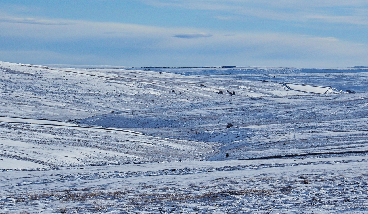
Rivelingdale
240 years ago today, in 1778, Captain James Cook made landfall on the Hawaiian Islands, the first European to do so. Did he pass any thoughts about his younger life in the Cleveland Hills? It’s highly likely that there would have been snow on the moors on that day. England was gripped in the Little…
-
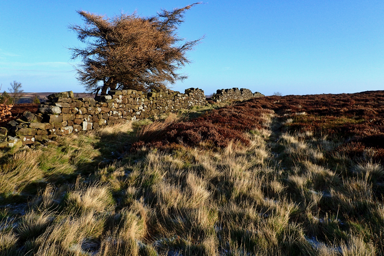
Ruined wall, Easby Bank
No snow on the North York Moors, well maybe a just a skith, as some Southerners would say, a light dusting, barely enough to cover the paths. But very cold through with a bitter, lazy wind. Lazy because it goes straight through you without swirling around. The wall divides Little Ayton Moor and Easby Moor…