Category: Kildale
-
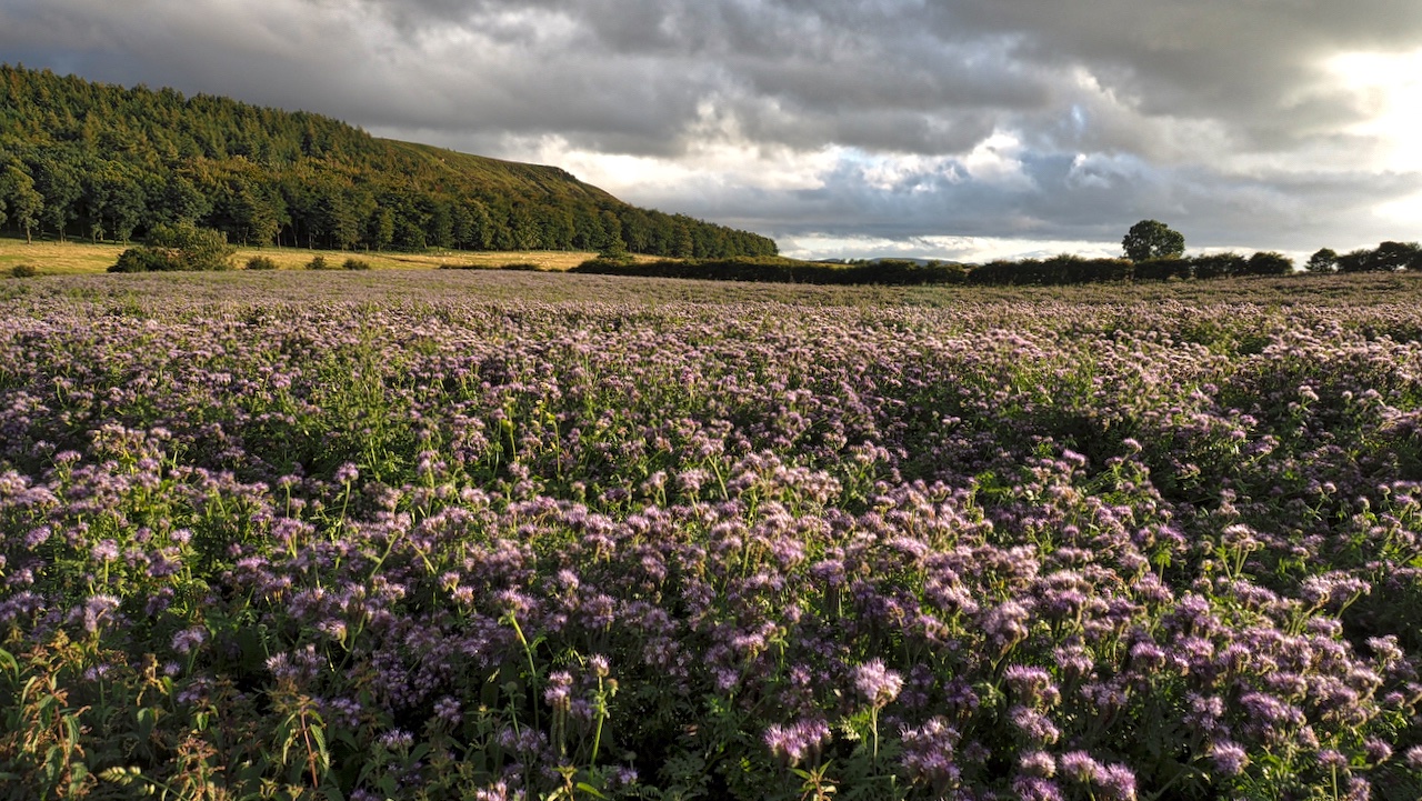
Park Nab
A sunny evening after a day of rain. This is one of a pair of blue fields flanking Green Gate Lane, better known as the Little Kildale road. The crop is Lacy phacelia or Blue tansy. The photograph has actually rendered the colour less blue than I remember. I am a bit disappointed. Must be…
-
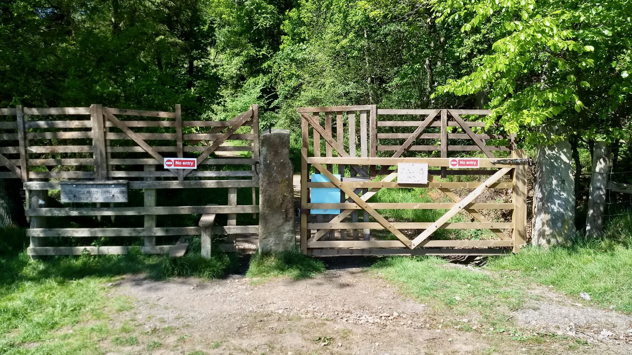
Riverside path in Kildale blocked
A funny old day. I’m incandescent with happenings in London, I’ve found myself agreeing with Piers Morgan, Tory MPs, The Daily Mail and several bishops. I meet with a dozen or so motorcyclists on a Public Bridleway but forgot to press the record button on my phone. And, to cap it all, I now find…
-
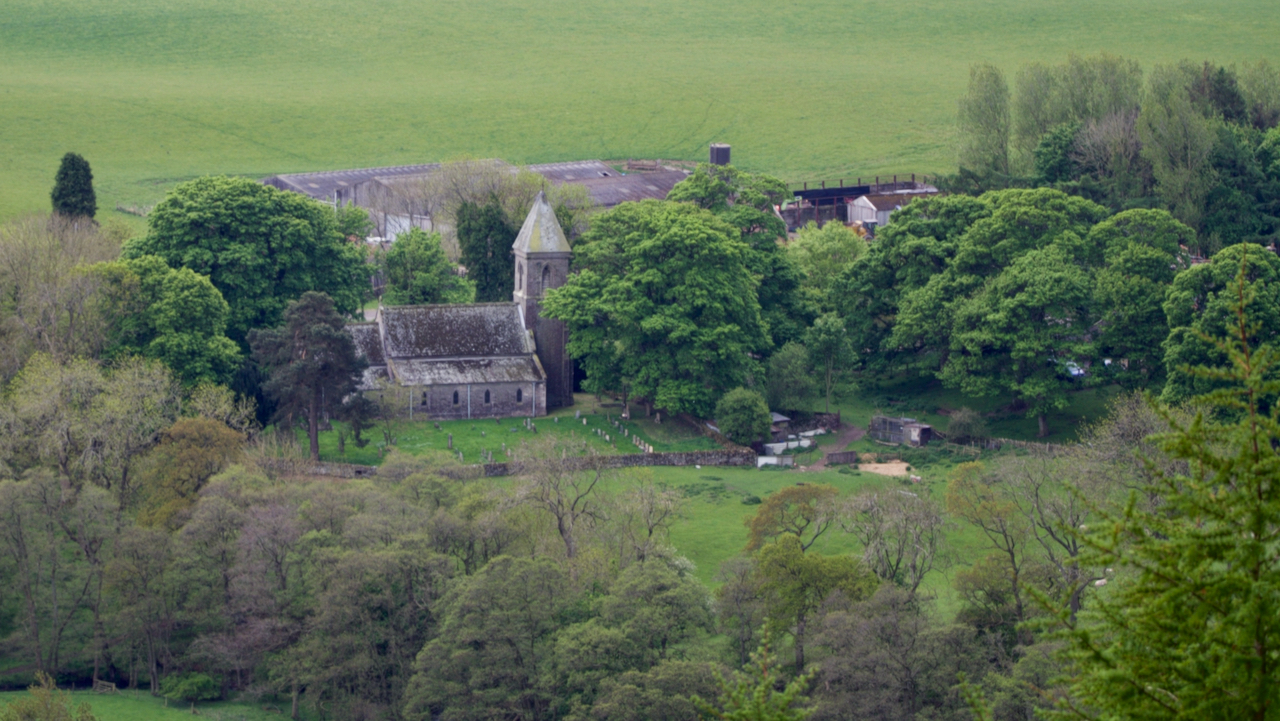
Kildale Church
Recent forestry work on Coate Moor has opened up new vistas including this view of Kildale Church. Officially, the Church of Saints Gregory and Cuthbert although St. Gregory is often left off with the church just being referred to as St. Cuthbert’s, a name which was actually used in older documents. There is some speculation…
-
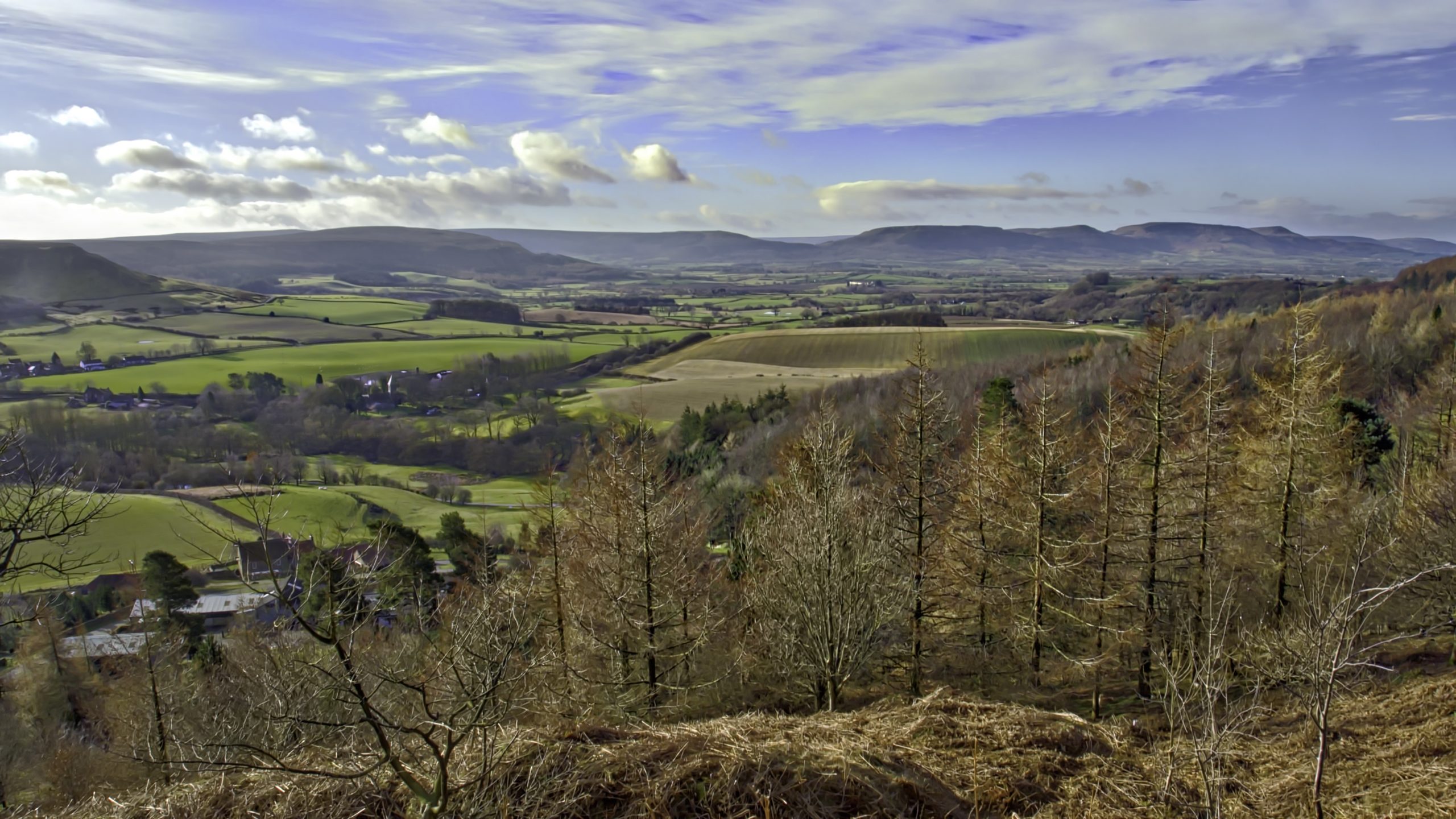
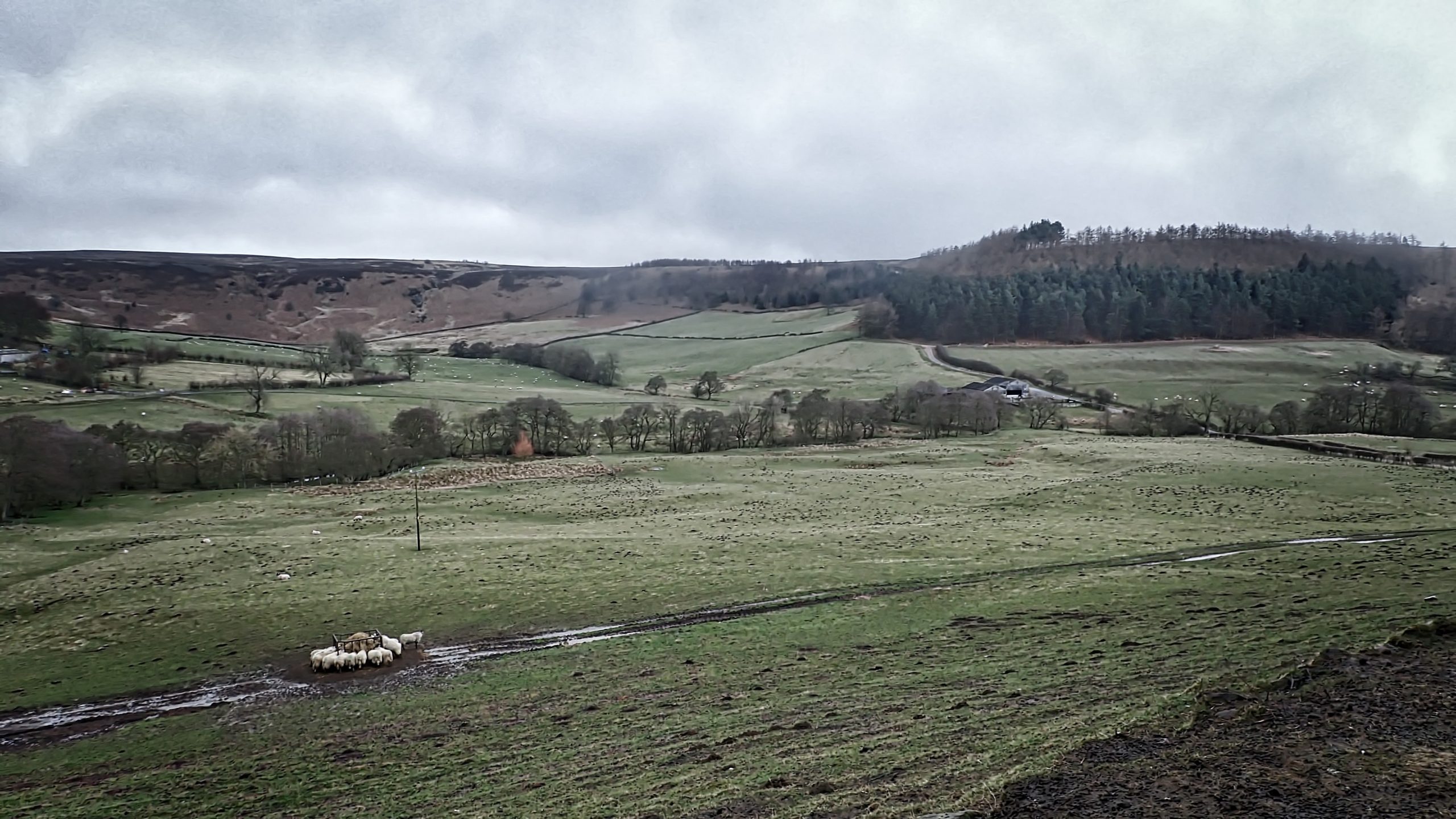
Kildale
Where is Kildale? It seems such a vague place. The village is well known but where exactly is Killi’s dale. Generally, the parish encloses the upper reaches of the River Leven but it also extends into the watershed of the River Esk with Sleddale Beck and Baysdale Beck forming the boundary. Most, but not all…
-
Forgotten Footpaths
I’ve found a website which is currently fascinating me. It’s called ‘Don’t Lose Your Way’ and it’s run by the Ramblers. It enables a direct comparison between the modern Ordnance Survey map and the 1895 edition. Its purpose is to identify and record lost footpaths that have been omitted as statutory Public Footpaths from the…
-
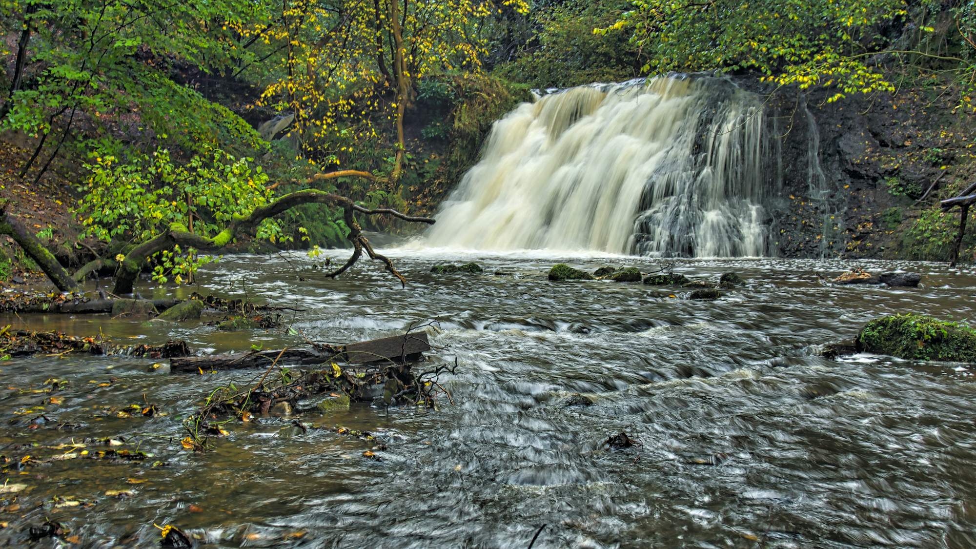
Old Meggison
Kildale Falls, aka Old Meggison. I had spotted the other day that a lot of work had been done by the estate thinning the trees and constructing steps down the steep bank. It has certainly been made a lot brighter and easier access downstream. The track along the gorge still displays “Concessionary Path” signs with…
-
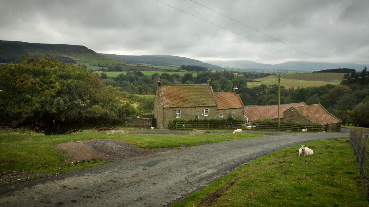
Bankside Farm, Kildale
On 31st August 1939, 48 children each carrying a gas mask and a small suitcase containing prescribed essentials and with a label attached to their coats arrived bewildered at Kildale railway station. Most were from Newcastle and Gateshead, conurbations with heavy industries which had been assessed had a high risk of being bombed. They were…
-
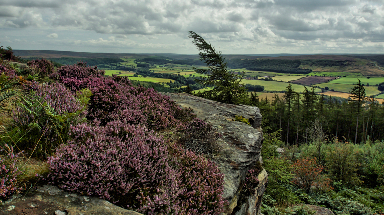
Cook’s Crags overlooking Kildale
Named as Ward Nab on the largest scale maps but known affectionately as Cook’s Crags by the climbing community. The ling is blooming nicely, here seen in a more natural setting than the vast swathes of moorland with which it is normally associated. The low lying shrub has been used through the ages as a…
-
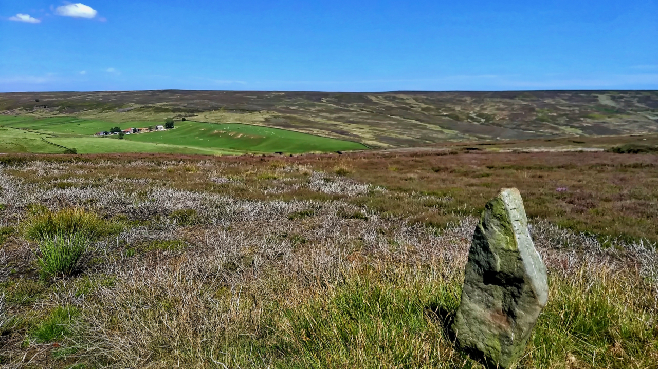
19th Century guide post
The old Ordnance Survey map shows a footpath linking the farms of Wood End in Kildale and Sleddale. The footpath has long since disappeared but is evidenced by this waymarker across Kildale Moor. It is believed to be 19th-century.
-
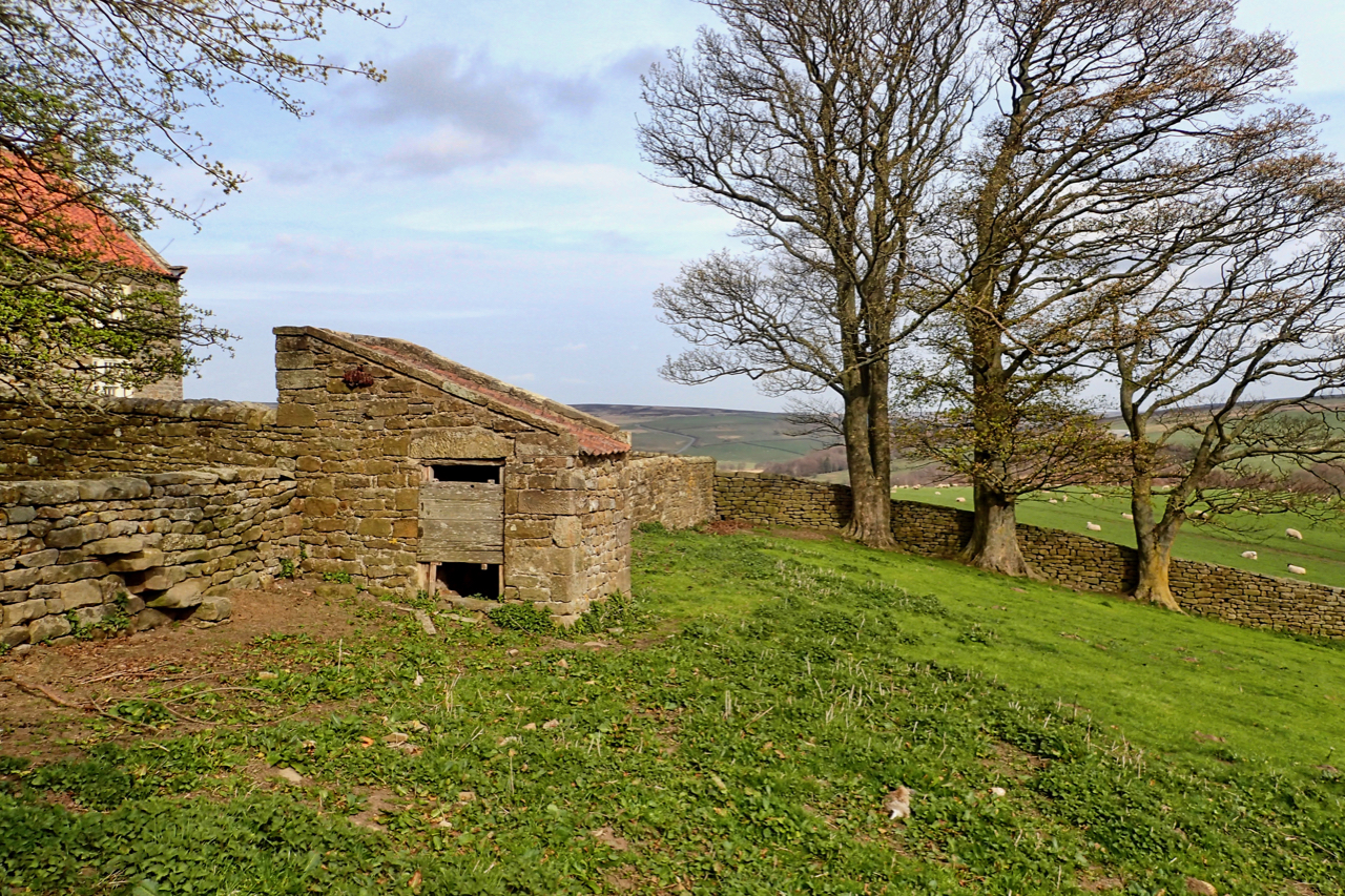
18th-Century Privy
A fine example of vernacular architecture at its best, the outside toilet or privy at the bottom of the garden of Warren House in Kildale. The privy is a Listed Building Grade II in its own right. Rubblestone walls with a pantile roof with, apparently, the wooden-seated privy still inside. I didn’t sneak a look…