Author: Fhithich
-
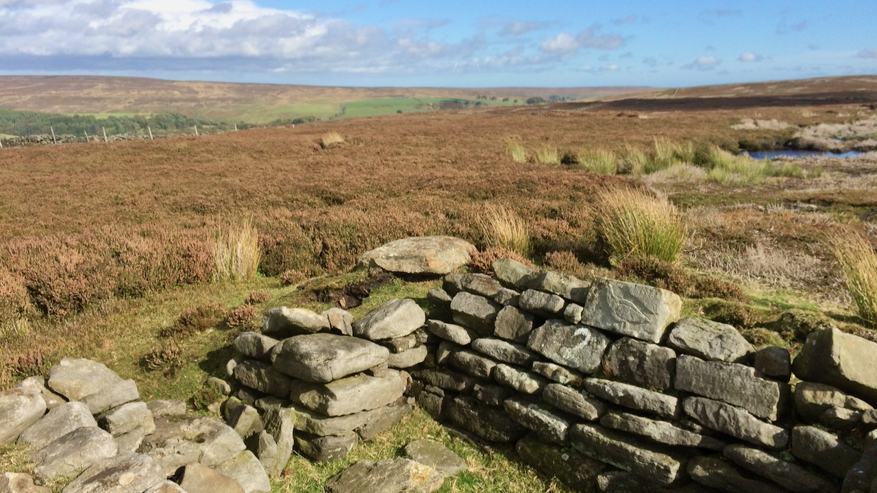
Shooting Butt No. 2 on Warren Moor
I will call this a ruined grouse butt although I suspect it is still in use. Anyway above the ‘2’ is a stone with a carved grouse dated, I think, 1975. I have it in mind that this was carved by Roland S. Close (1908-1978), the amateur archaeologist and an estate worker at Kildale. If…
-
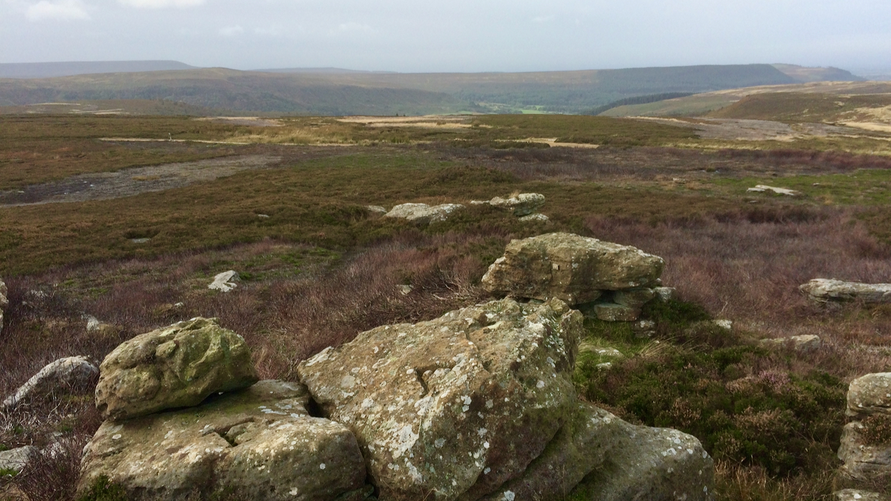
Stone Ruck
A rather dull morning but I somehow managed to miss the downpour. The high moors have somewhat woolly boundaries. Sometimes they follow the meandering of streams and other natural features, elsewhere they may be a straight line between landmarks drawn in an office or mapped as “Undefined”. The parish boundary between Whorlton and Bilsdale West…
-
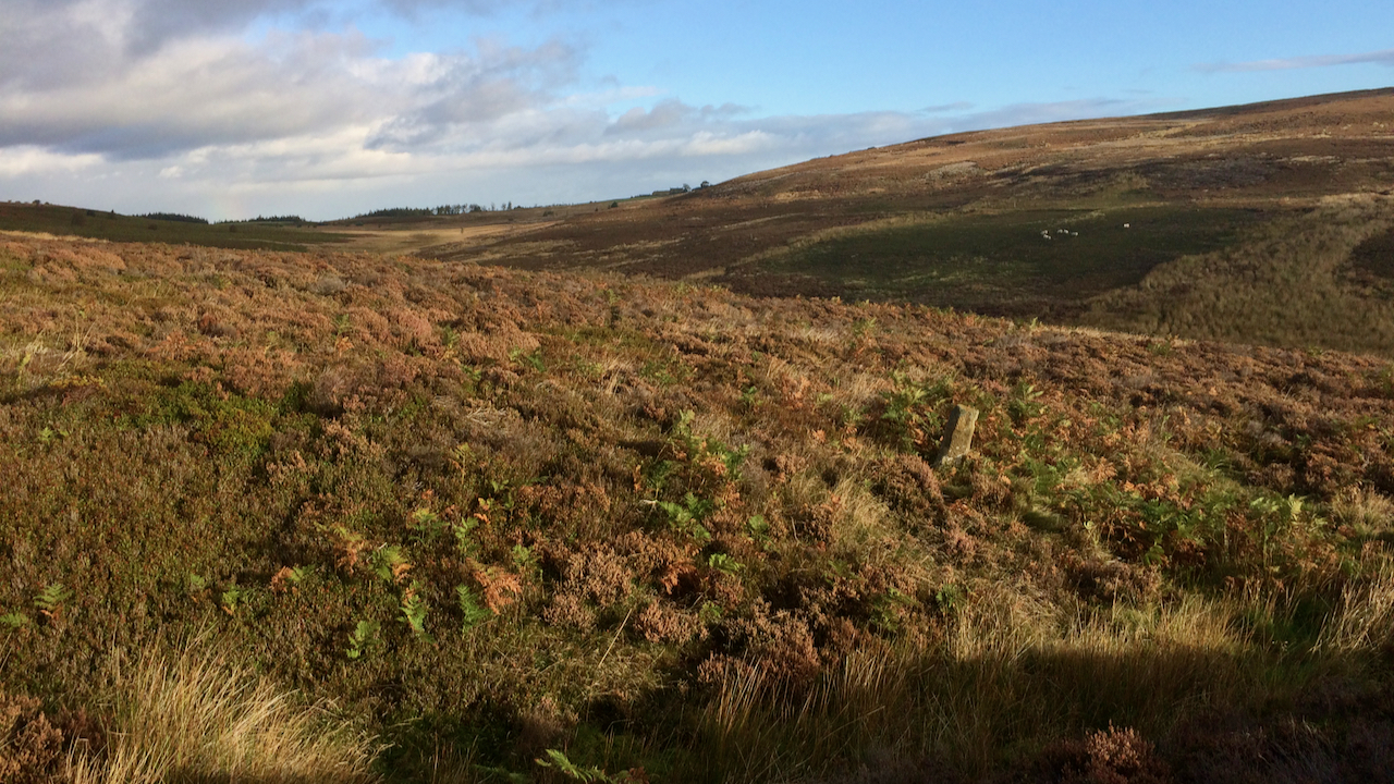
Standing Stone, Rivelingdale
At Percy Rigg Cross, a spur of the moment to pop down to have a look at the spring in Rivelingdale or Codhill Beck. There is one internet source which suggests the spring is a holy well with the name of ‘St. Mary’s Well‘. Apparently, it’s a name referred to by the archaeologist Roland Close…
-
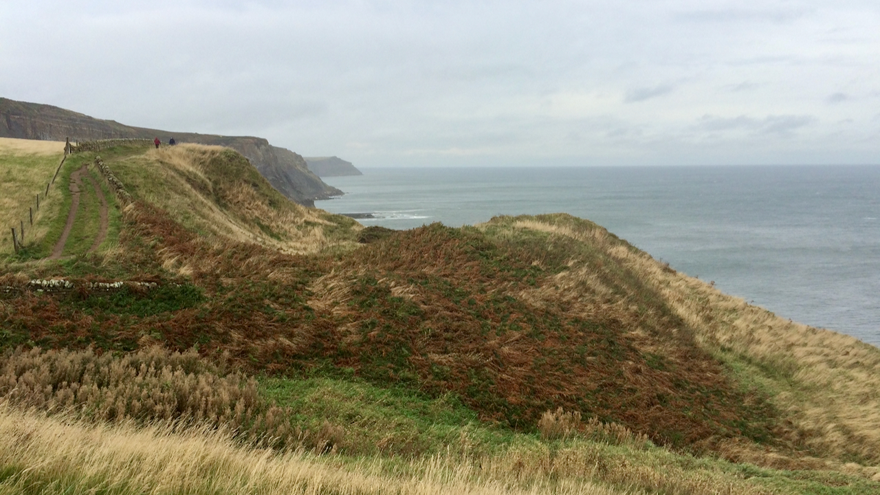
Craze Naze
What a lovely assonant name, although many Cleveland Way walkers will no doubt pass it without giving it a second thought, eager to get to Whitby or Robin Hood’s Bay, in whichever direction they are heading. On the Six-inch Ordnance Survey map of 1853, it is named as Dobson’s Nab. I wonder who Dobson was.…
-
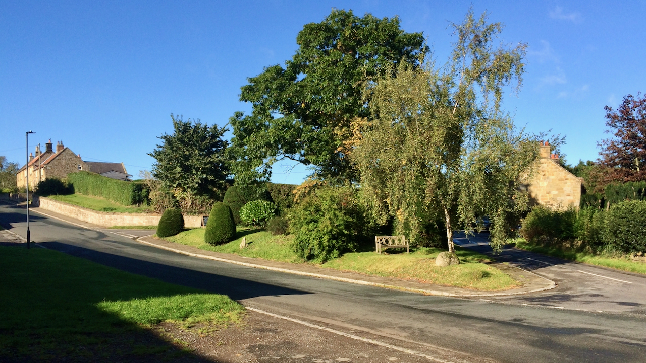
Kildale
The ‘village green’ at Kildale. Another glorious morning. And Michaelmas day to boot. St Michael’s Day, 29th September, the Feast of Michael and All Angels, one of the traditional four ‘quarter days’ in a year, the other being Lady Day (25th March), Midsummer (24th June), and Christmas (25th December). On these religious festivals, the agricultural…
-
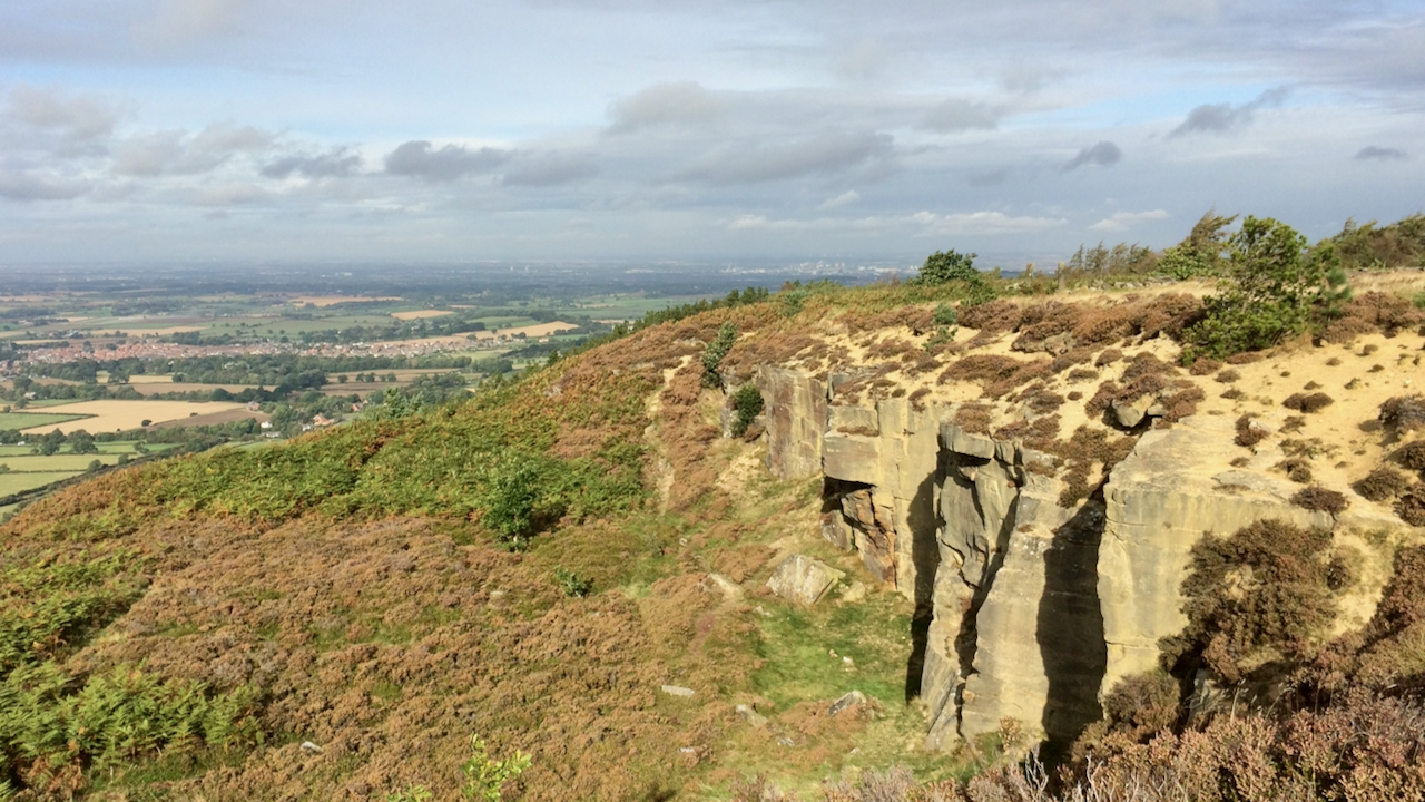
Sandstone Quarry, Easby Bank
A bit chilly but a lovely morning. This is an old sandstone or ‘freestone’ quarry on Easby Bank. A ‘bank’ is a Yorkshire term for “a steep hillside, often with a road taking a direct route from top to bottom”. But the Ordnance Survey on their Six-inch England and Wales, 1856 map annotated ‘Easby Bank’…
-
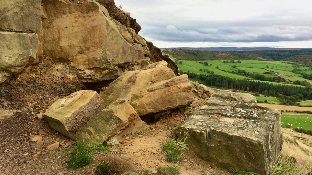
Recent rockfall, Roseberry
Spotted this morning, it must be fairly recent. Nothing untoward, just part of the natural weathering process. Imperceivable then suddenly … My first thought was that the enigmatic carved face of Roseberry was lying face-down but it’s actually on the lower crag. An odd carving, not exactly a Michelangelo but somehow quite intriguing. The big…
-
The Snake Path
What a change from yesterday. Blue skies and autumnal warmth. William Clough and the Ashop valley. William Clough, a notorious climb up to Ashop Head, the route of an ancient path from Hayfield to the Snake Inn. Yesterday’s post featured Ashop Clough, down which the Snake Path descends. On the 29th May 1897, an agreement…
-
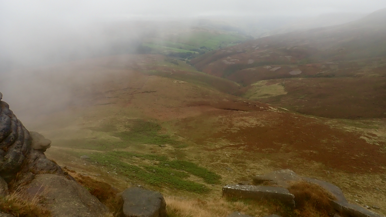
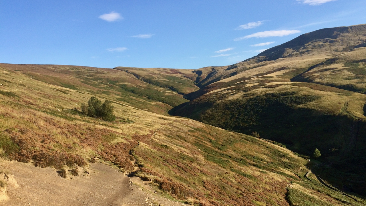
Ashop Clough
A rather cloudy circuit of the Kinder Scout plateau with the clag briefly clearing on Fairbrook Naze to open up this view of Ashop Clough, a deep gorge down which the ancient path from Hayfield to the former Snake Inn passes. The aim had been to visit the newly recognised highest point of the plateau,…
-
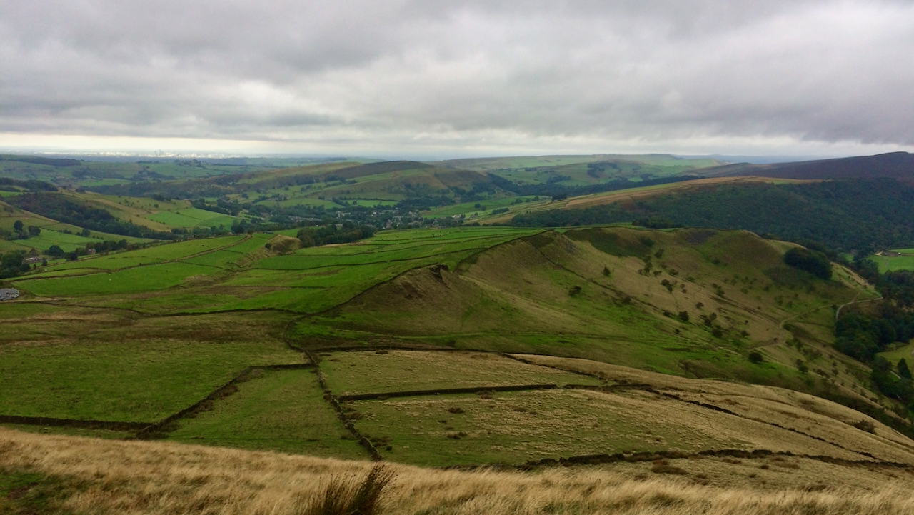
Mount Famine ridge
Looking back towards the village Hayfield in Derbyshire from the ominously named Mount Famine. The name is supposed to date from the late-18th to early-19th-century Enclosure Acts when local landowners agreed to parcel up the land between them including common land. Farmer who once provided services and a proportion of their produce to the Lord…