Tag: Waymarker
-
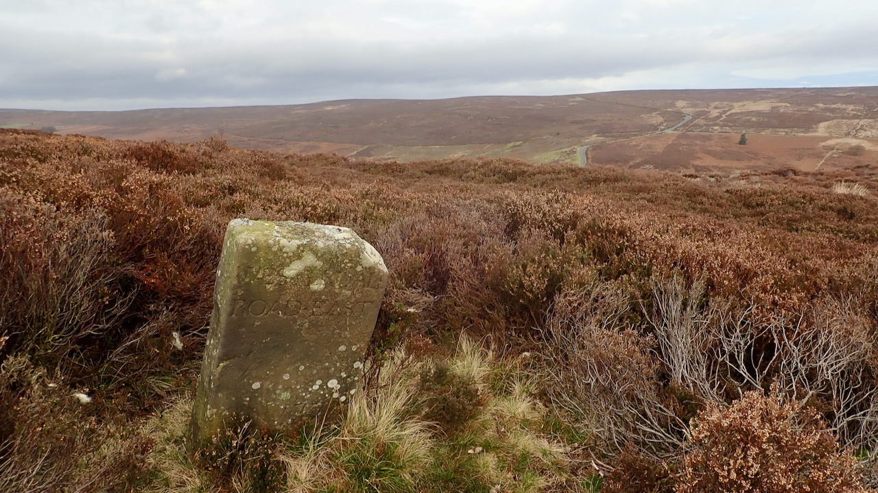
18th-Century Marker Stone
Very close to the ruined farmstead of Jane Frank Garth above Hob Hole and inscribed with ‘WESTERDALE ROAD・EAST‘. It’s located on Little Hograh Moor, about 350 metres from the Hob Hole to Westerdale Road and away from any modern footpaths, Tucked way in the heather. Jane Frank Garth is more locally known as ‘Gin Garth‘…
-
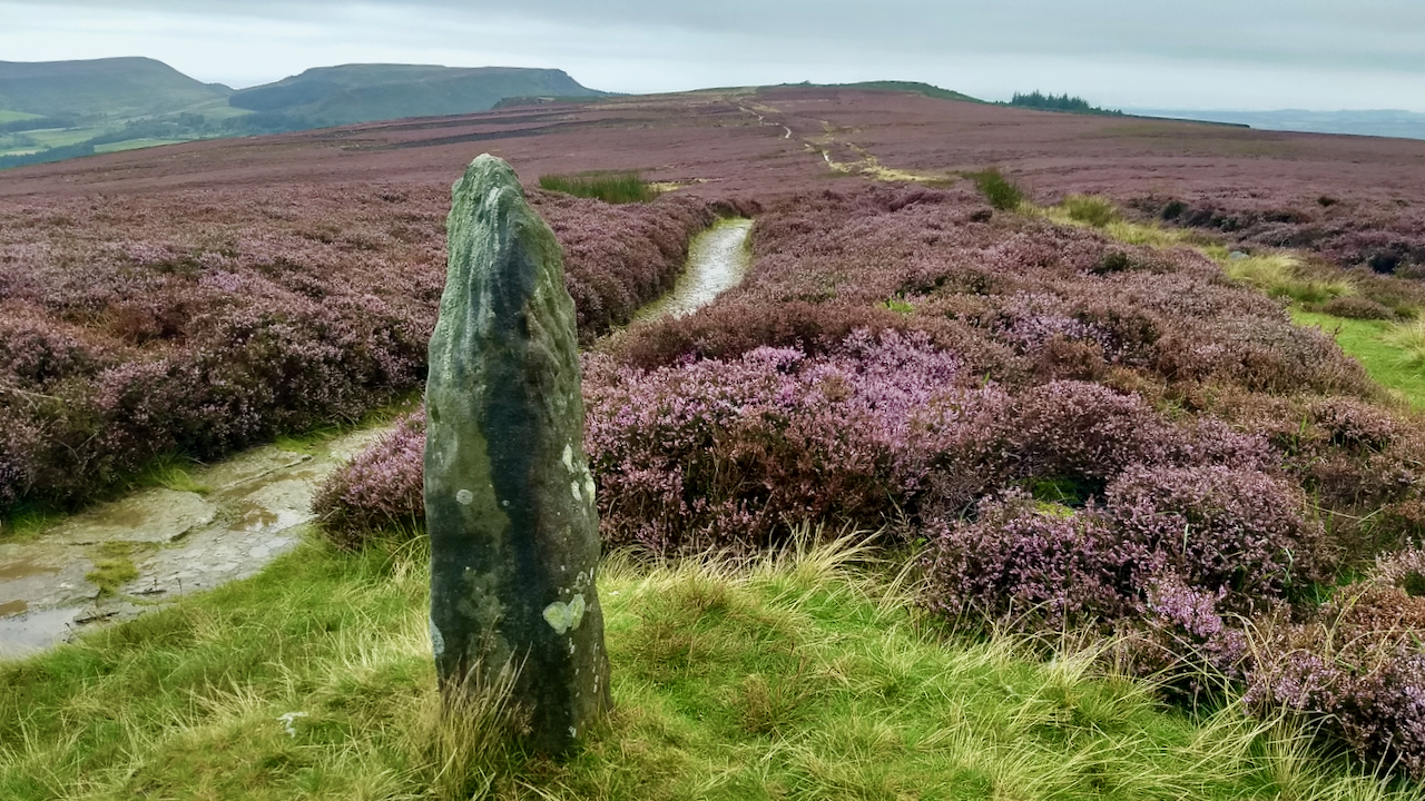
Waymarker stone, Carr Ridge
This heather alongside the Cleveland Way seems to have avoided the worst of the ravishes of Lochmaea suturalis, the heather beetle. Not a bad display. The beetle overwinters dormant deep in the undergrowth of the heather, emerging in the spring when they are able to fly up to a range of several miles. The Wikipedia…
-
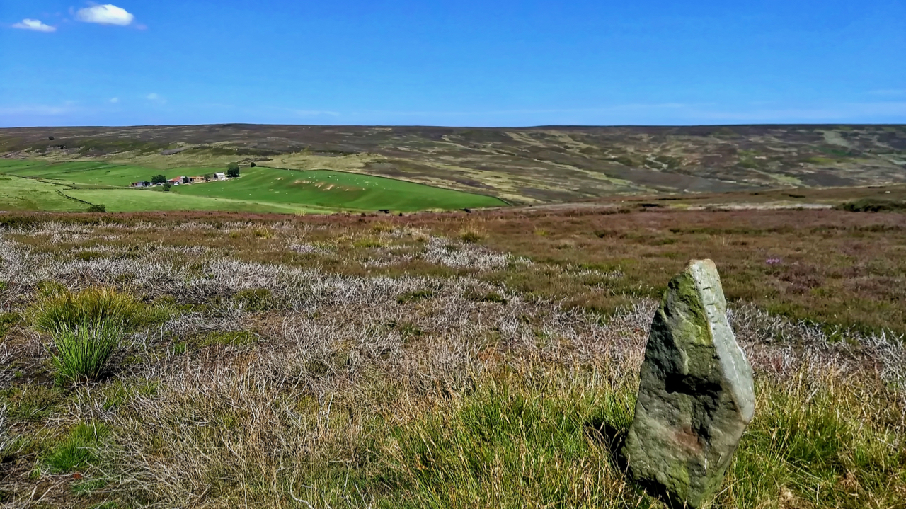
19th Century guide post
The old Ordnance Survey map shows a footpath linking the farms of Wood End in Kildale and Sleddale. The footpath has long since disappeared but is evidenced by this waymarker across Kildale Moor. It is believed to be 19th-century. Open Space Web-Map builder Code
-
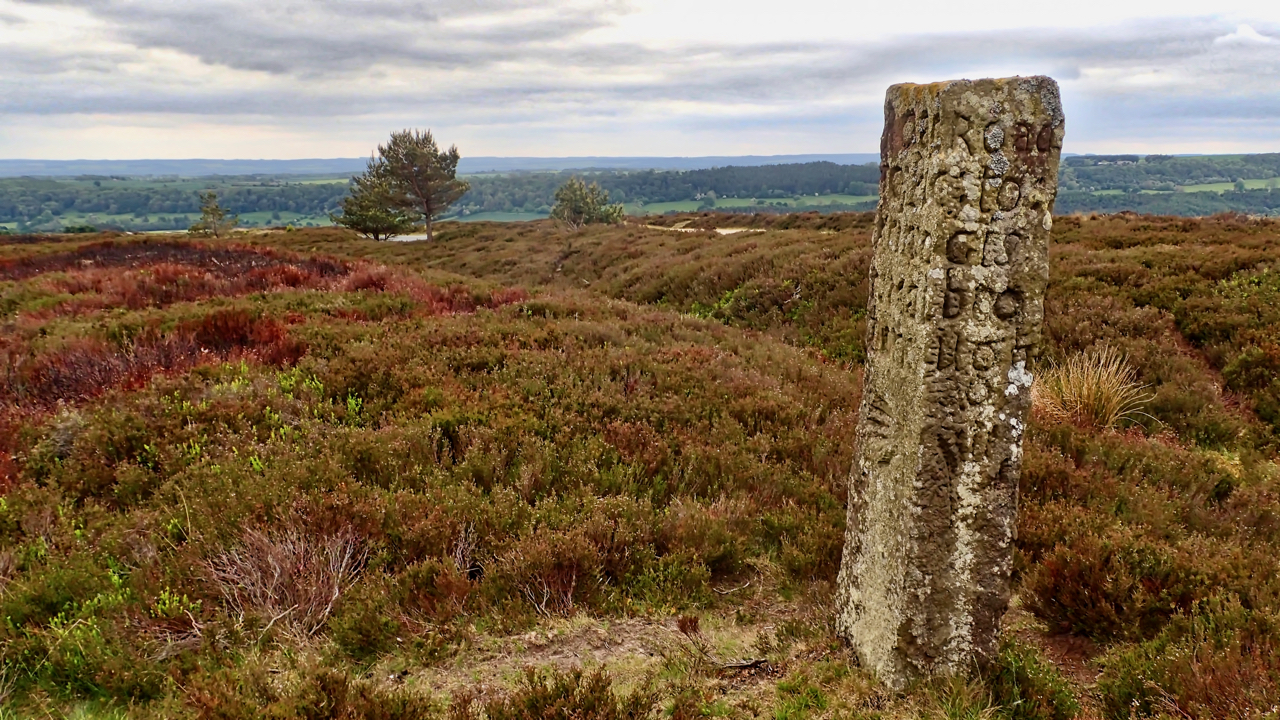
Waymarker, Blakey Ridge
An 18th-century guidestone, a short way off the Blakey Ridge road near Hutton-le-hole. The ditch is probably the old holloway, parallel to the modern tarmac, which is just visible between the two trees. Three faces are inscribed: The west face is obviously the “Road to Kirbymoorside”: RoAd: to:Kirb y:Moor side: The east face is a little…
-
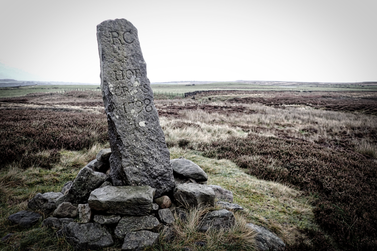
Hob Cross, Stanghow Moor
Yellow warnings issued for rain and high winds, and for once the Met Office was not overly pessimistic. Followed the Quakers Causeway, an ancient route from Guisborough Priory to Whitby Abbey. Higher on Stanghow Moor the stone trods still mark the way, worn smooth by countless feet, but approaching Hob Cross any stones must have…
-
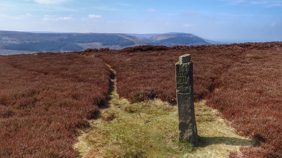
Hand Stone, Ingleby Moor
On the moor above the village of Ingleby Greenhow is a sandstone post with a carving of a hand on it. I don’t think it actually has a name but most people know it as the hand stone. Above the hand there is carved: TO INGLE BY AND STOX LEY And on the opposite side: TO KIRBY AND HEM…