Tag: moorland
-
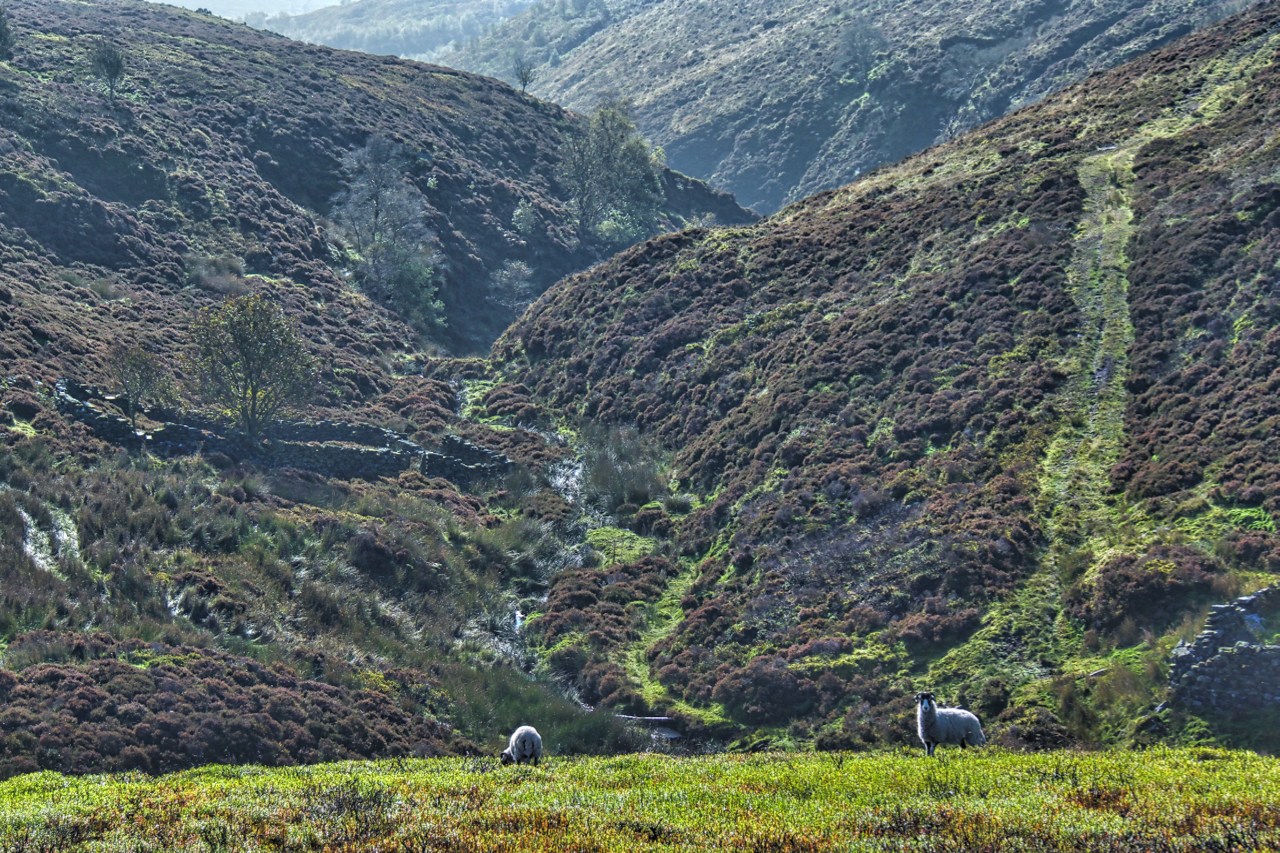
West Gill in North Dale
Reading the depressing news that a bird of prey had been shot in Rosedale earlier this week reminded me to head down that way. No precise location was given in the report so a toss of the dice saw me in West Gill, North Dale, a deep unfrequented gash in Rosedale Moor. A cracking day…
-
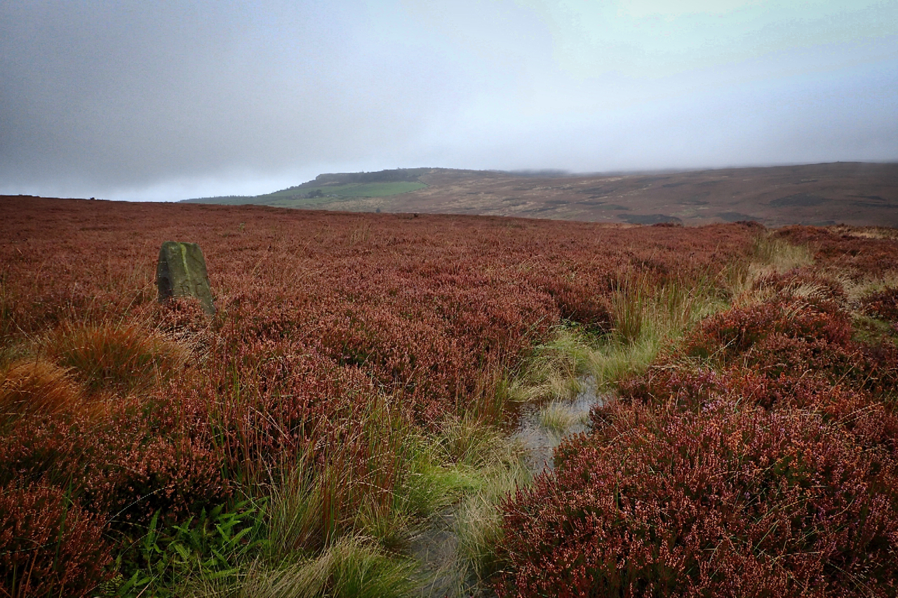
Eskdale’s stolen water
The sandstone boundary stone on the left is inscribed “RC” the initials of Robert Chaloner, the 19th-century landowner and lord of the manor of Guisborough, but it is the waterlogged ditch in front which took my interest today. Mapped as “The Race” it is a leat semi-circumventing Hutton Moor, capturing the water runoff from draining…
-
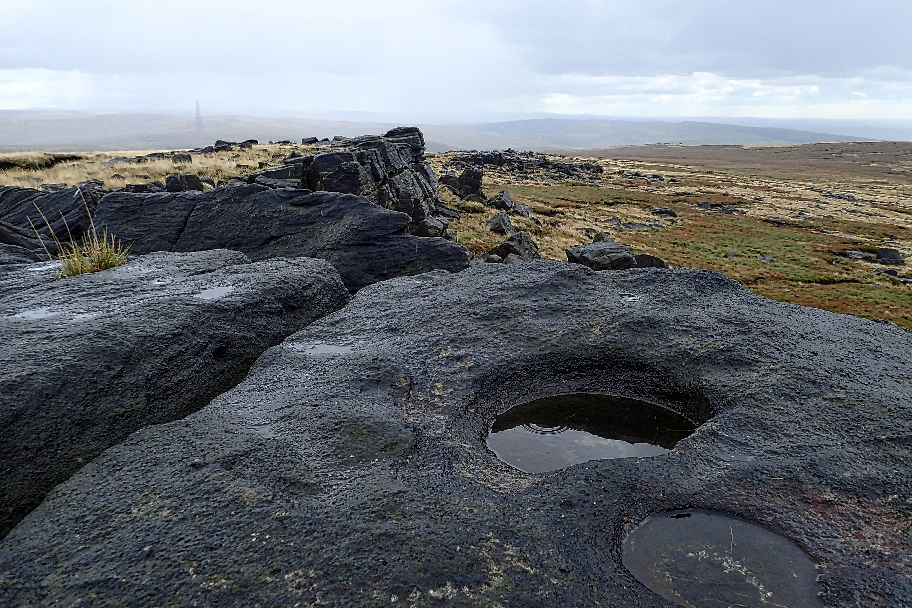
Blackstone Edge
With the young scion installed back at uni, a chance to explore the Pennines on the way back home. Blackstone Edge, a gritstone escarpment conveniently just off the M62 and overlooking the conurbation of Manchester. The map named Robin Hood’s Bed just south of the summit which sounded interesting but as I didn’t know what…
-
Holy Well Gill
It must have needed a torrent of water to have carved this gill on Pamperdale Moor near Osmotherley. Certainly not water from the spring mapped as Holy Well and situated way down the gill not far to its junction with Crabdale Beck. The “spring” in the photo, higher up, doesn’t even qualify with an Ordnance…
-
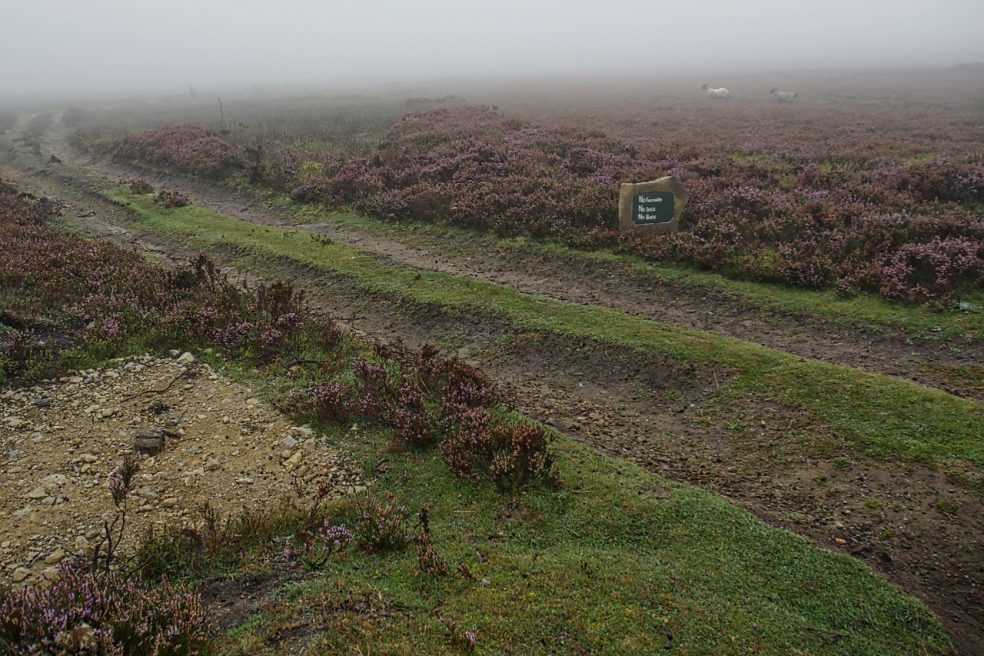
Kempswithen
With low cloud shrouding the North York Moors I had to dig into my bank of “bad weather” ideas. Earlier this year I recalled seeing a large new sandstone “PRIVATE NO ACCESS” sign which I thought a bit over the top. So I headed for Kempswithen, the site of a 18th-century agricultural experiment but now…
-
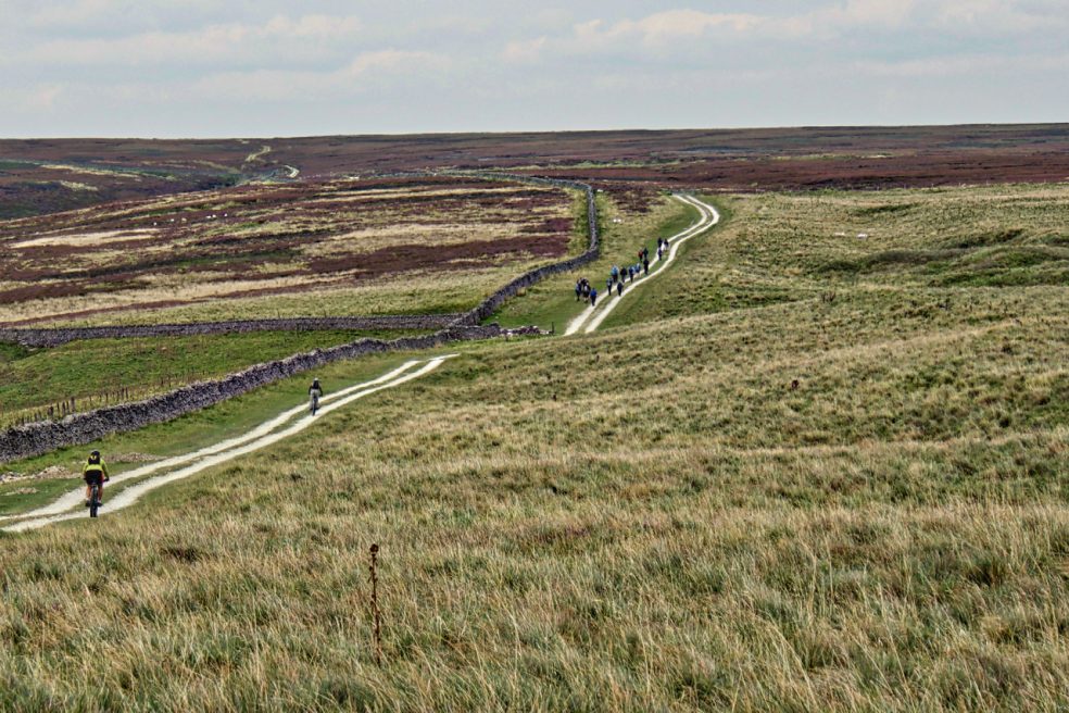
Hambleton Street
The ancient drovers’ route along the western edge of the North York Moors. A route that probably has been used since prehistory. The name “street” implies Roman usage and it’s mentioned by name in a document of 1577. Traffic peaked in the 17th and 18th centuries when herds of cattle were driven from Scotland to…
-
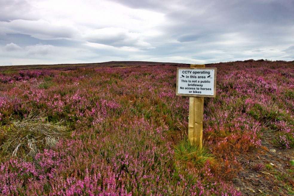
CCTV operating
The Inglorious 12th minus one, to borrow from the title of Mark Avery’s book. Tomorrow will mark the beginning of the annual slaughter on the moors. On Farndale Moor signs have gone up advising of CCTV monitoring. No matter I don’t own a horse and have no intention of biking along the track, I find these…
-
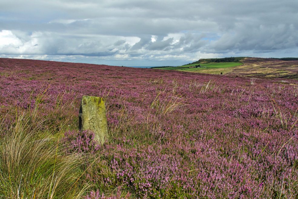
Boundary Stone, Great Ayton Moor
Sorry but I just couldn’t resist another photo of the purple swathe of a heather moor. The ling is now in full bloom and for just a few weeks the colour is glorious. Highcliff Nab is in the distance and in the foreground is a sandstone boundary marker dating from the 19th century. ‘R C’…
-
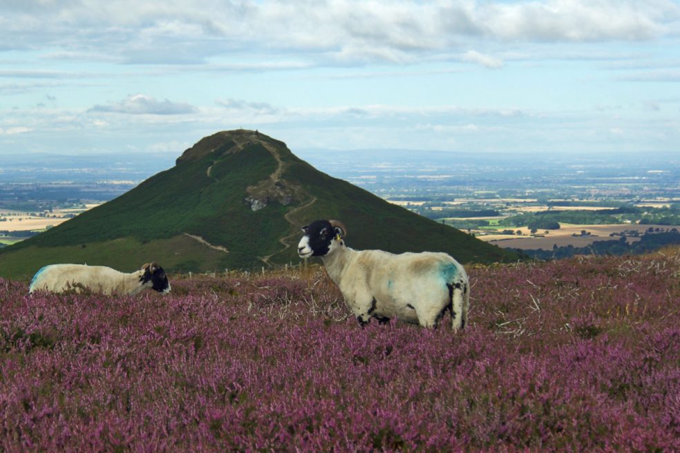
Tick magnets
There seems to be less sheep on the moors nowadays. Not sure if this is a deliberate policy. Certainly, in other upland areas, there are concerns about over grazing. At one-time moorland farmers were actively encouraged to graze their sheep on the moors by gamekeepers. The sheep would act as magnets for ticks which also…
-
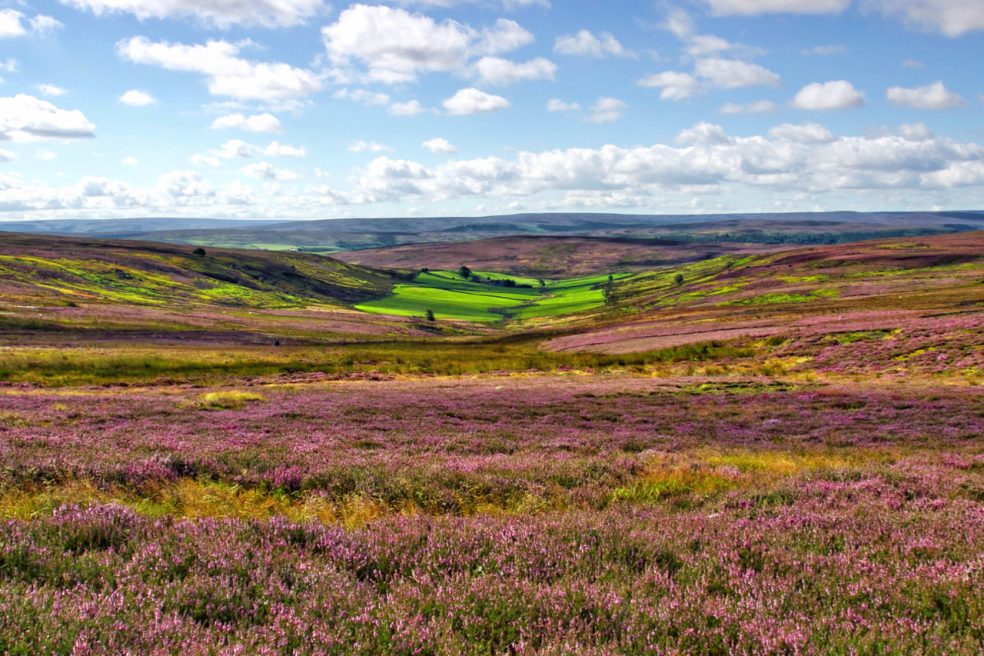
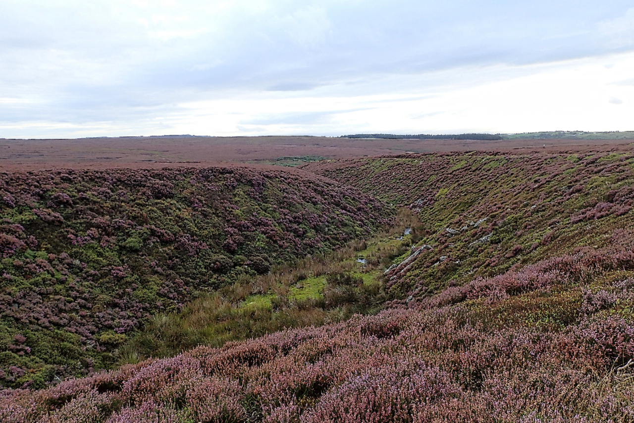
Sleddale
For a brief few weeks the moors are a sea of purple heather which is now at its best. Seen from Highcliff Gate, Sleddale Farm appears an island of lush green pasture. The name means a wide flat valley and was probably a meadow of summer pasture before being given to the priory to be…