Tag: cairn
-
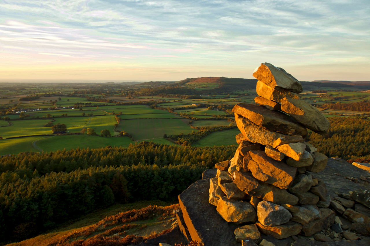
A view from Turkey Nab across lower Kildale
Earlier this year, on January 29 a dead buzzard was found “on top of a dry-stone wall, next to a layby on the Kildale to Commondale road near Percy Rigg”. The RSPB and the police were informed and the bird was sent off for toxicology tests which came back in July saying the likely cause…
-
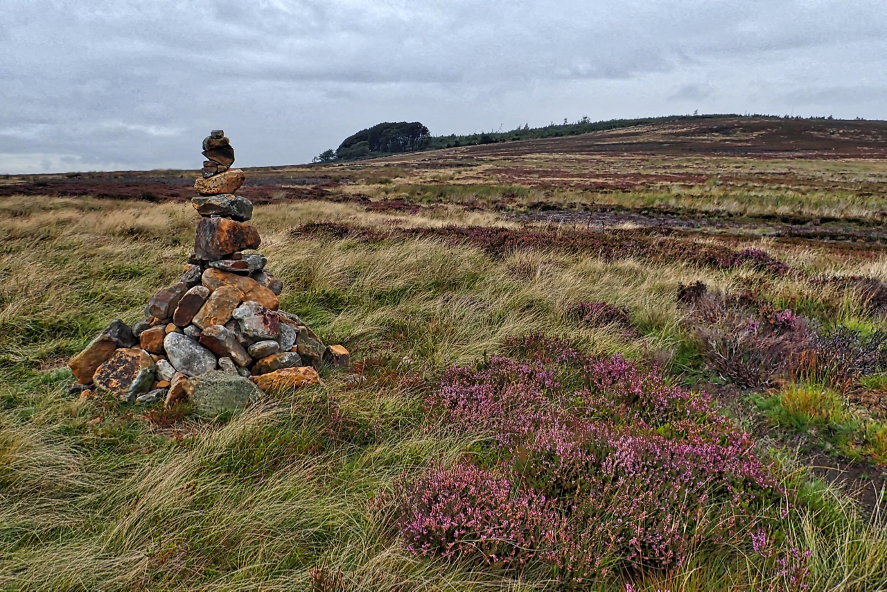
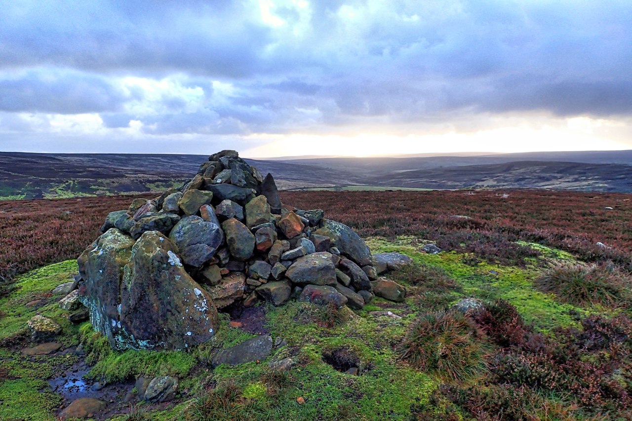
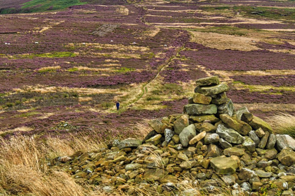
Potters Ridge
On Codhill Heights looking up towards Potters Ridge. A precarious cairn. One of a pair, both newly built. First time I have seen them. The moorland is part of the 3,460 acres of grouse moor owned by the Baron Gisborough whose farms received £89,278.37 under the Common Agricultural Policy (CAP) in 2016. Open Space Web-Map…
-
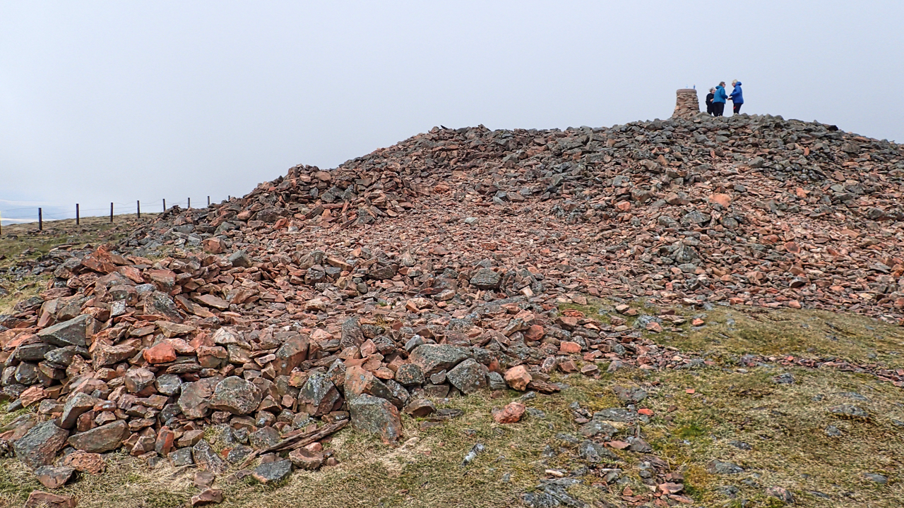
Hill of Fire
Tinto, perhaps the most prominent hill in the Clyde valley. At 707m above sea level it is not particularly high but still a very popular climb. The name means the hill of fire, a reference to the druidic practice of lighting fires on the summit to their sun god. A Bronze Age burial cairn, the…
-
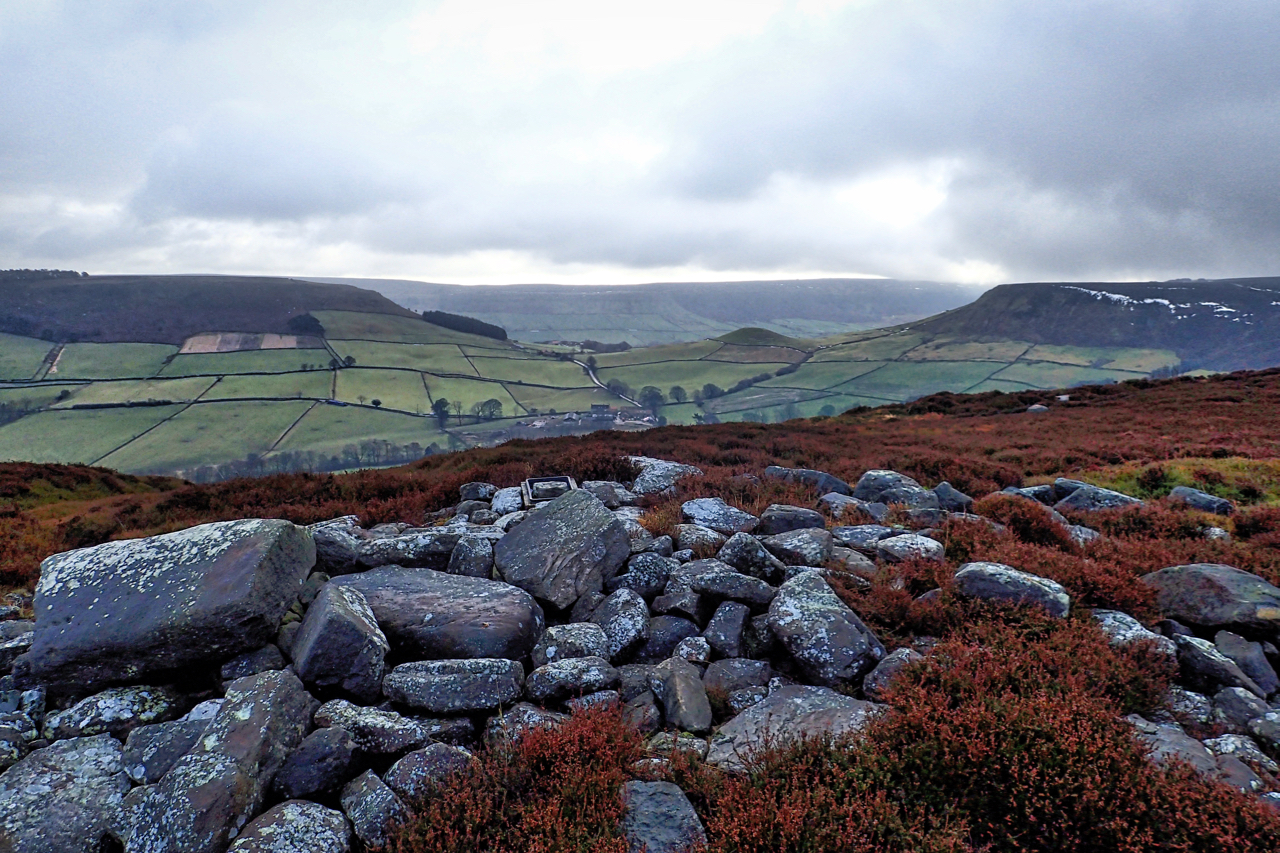
The Old Hell Way
Danby Rigg, a landscape of human activity since prehistoric times. A promontory of heather moorland separating the valleys of Danby Dale and Little Fryup Dale, cross dykes, field systems, burial mounds, standing stones are strewn about. Two medieval tracks cross the rigg leading from Fairy Cross Plain, the col between the two dales of Friga,…
-
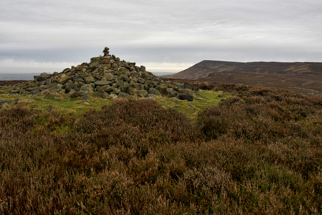
Round Barrow, Codhill Heights
A Bronze Age burial mound and possible territorial marker. A large standing stone can be seen on the left. The has been excavated and is capped by a modern cairn. It stands on a slight rise, with a prominence of a mere 12m, on a ridge of Gisborough Moor, overlooking Sleddale.
-
Round Barrow, Live Moor
A new plaque has been fixed to a stone by the National Park asking visitors not to disturb the Bronze Age burial mound on Live Moor near Whorlton. Not to remove or add stones to the cairn. The custom has developed amongst walkers and ramblers to add a stone or two to piles of stones…
-
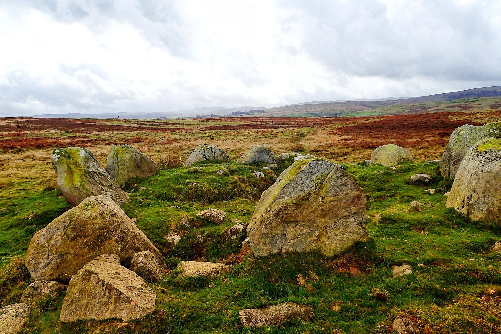
Cairn Circle
An unassuming but impressive stone circle on Moor Divock, a limestone plateau between Pooley Bridge and Askham in the English Lake District.
-
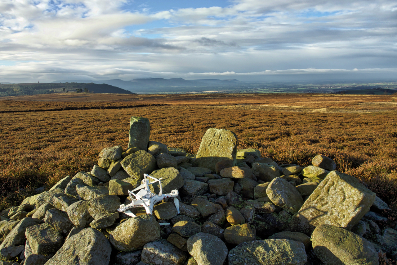
Not the best of landings
I haven’t whinged on about litter recently. The problem hasn’t gone away. There’s a couple of new websites that have been set up to geolocate litter. Firstly there’s the Marine Conservation Society in support of their campaign for the introduction of a plastic Deposit Return System. And then there’s the Open Litter Map (#OpenLitterMap), an…
-
Live Moor
Setting off from Mount Grace Priory this morning I overtook plenty of walkers doing the Cleveland Way, all fresh from their overnight accomodation in Osmotherley. In fact the only person going the other way was this solitary walker on Live Moor about to climb the few contours to its summit. To the right, hard to…
-
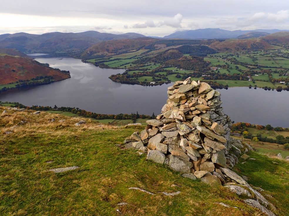
Arthur's Pike
Above Whinny Crag, above the elbow in Ulf’s lake where the whole of its nine mile length can be seen. In the ’60s Ullswater almost became a reservoir, following in the fate of Thirlemere and Haweswater but a passionate speech by Lord Birket, persuaded the House of Lords to defeat the proposal.