-
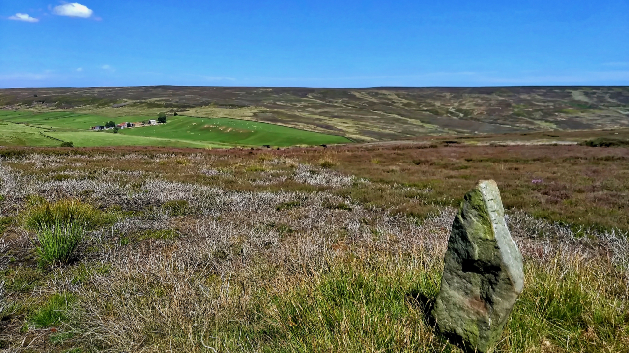
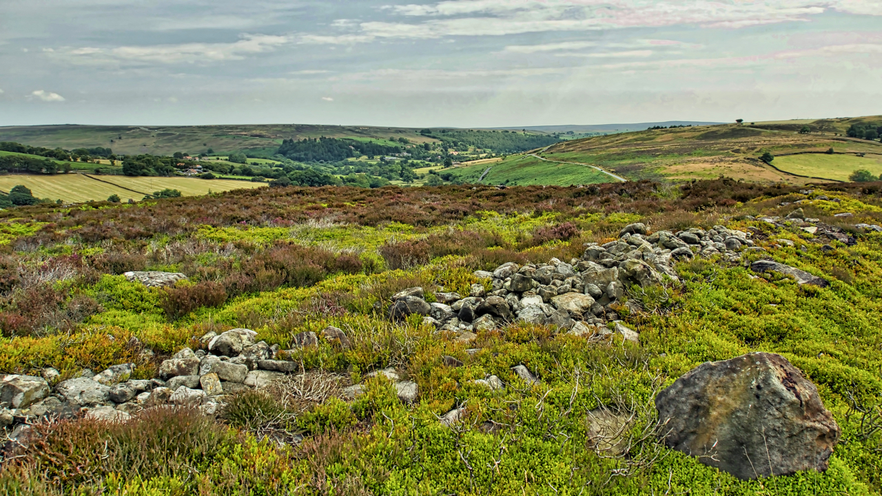
Newton Moor
The mosaic of a managed heather moor, managed to maximise the number of grouse. Heather is burnt to encourage young growth which the grouse feed on. Patches of tall old heather are left for nesting. Yet every square inch of land in the photo (beyond the boundary stone) is National Trust property. The heather was…
-
High Bride Stones
Out and about in the sun all-day catching butterflies and moths for a survey at the National Trust’s Dovedale and Bridestones property. Finds of the day were a Marbled White and a Dark green fritillary but both were not very co-operative for photography. This is the first time both species have been recorded on this…
-
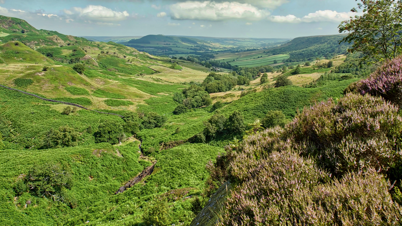
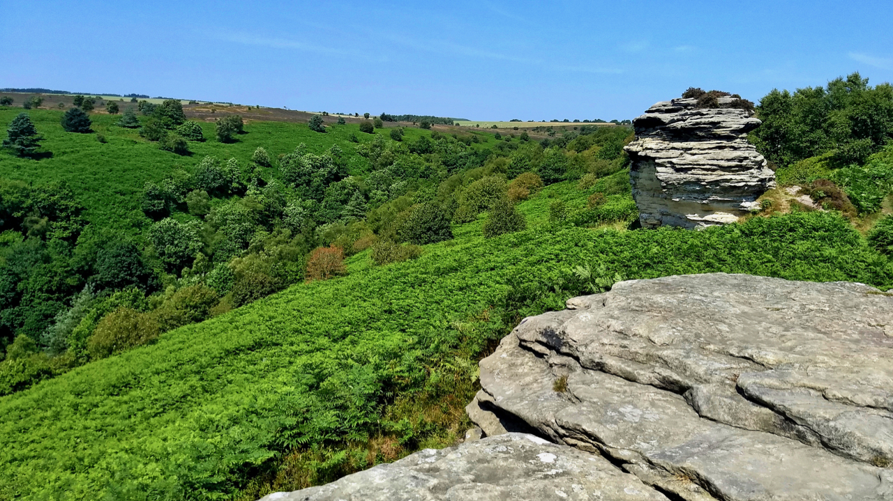
Great Fryup Dale
A hot and humid day. Felt stifling on the descent into the bracken infested Wood Head, the top of Great Fryup Dale. The ling is just beginning to come into bloom. Open Space Web-Map builder Code
-
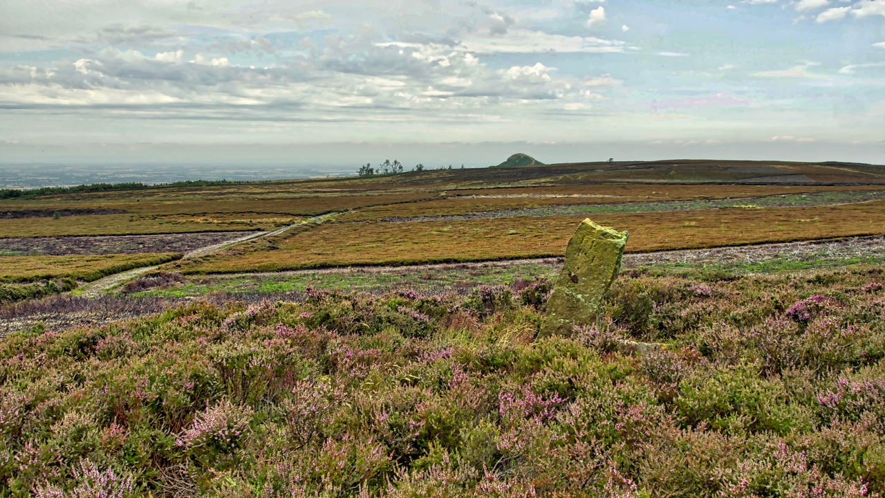
19th Century guide post
The old Ordnance Survey map shows a footpath linking the farms of Wood End in Kildale and Sleddale. The footpath has long since disappeared but is evidenced by this waymarker across Kildale Moor. It is believed to be 19th-century. Open Space Web-Map builder Code
-
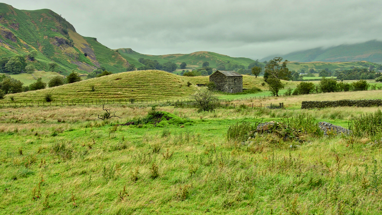
Esker, St John’s in the Vale
What seems an iconic Lakeland scene. A dry stoned wall barn nestling next to a knoll in fields of sheep pasture. And of course a mist-shrouded Skiddaw in the distance. The view is from the B5322 as it heads south through St John’s in the Vale towards Ambleside. What is of interest is the knoll.…
-
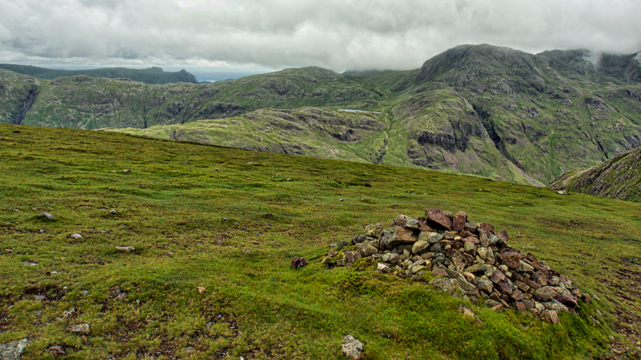
Sprinkling Tarn from Green Gable
It took me a while to recognise some of the fells when the clouds broke descending Green Gable to Windy Gap. Sprinkling Tarn is a long sliver and it seems strange looking down on it. On the right is the bulk of Great End. And in the distance the Langdale Pikes, a different view from…
-
Castle Rock of Triermain
From Low Bridge Farm in St. John’s-in-the-Vale (lovely coffee shop with delicious scones). The scene of a rockfall “as big as a bungalow” last November. The farmer was telling me his family was sitting in the porch when the fall occurred. A rumble was initially dismissed as a low flying jet, a frequent sight along…
-
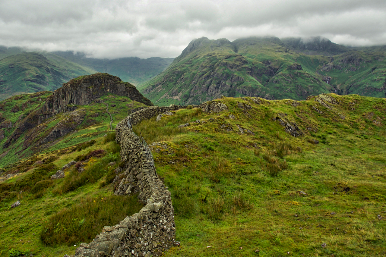
Side Pike
A small knoll at the western end of Lingmoor Fell. Across Great Langdale, the Langdale Pikes flirt with the cloud base. Open Space Web-Map builder Code
-
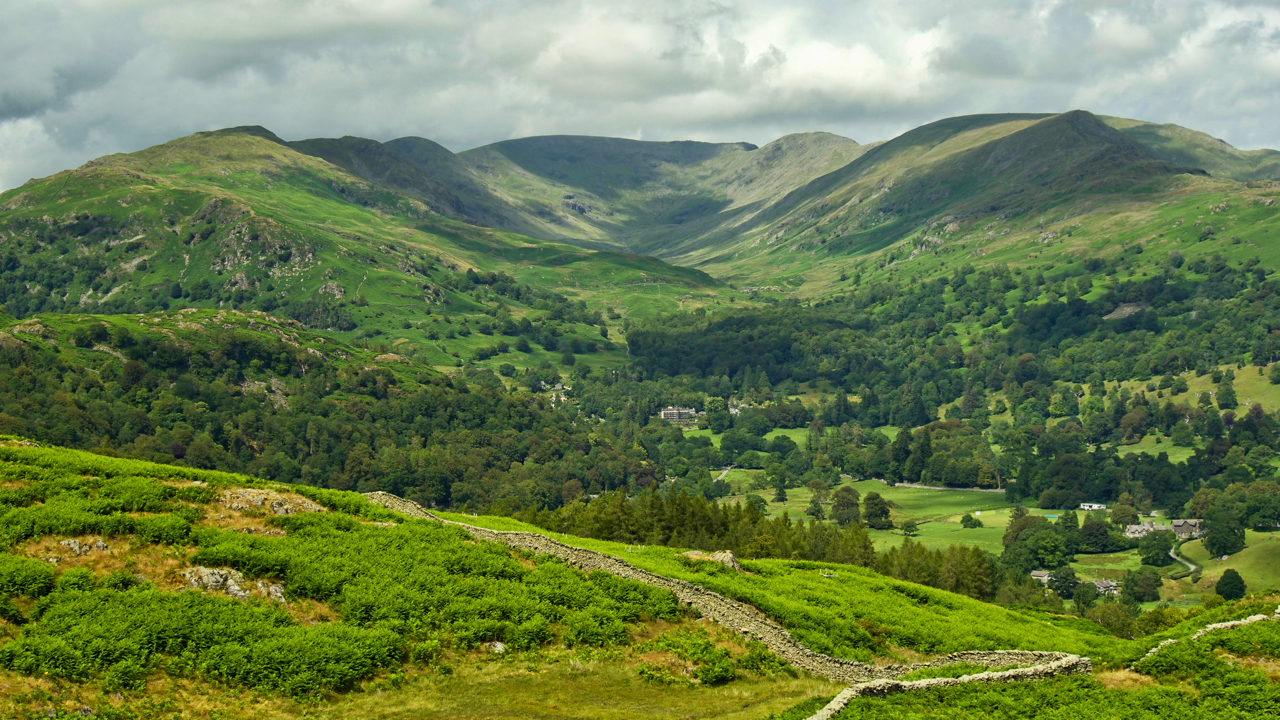
The Fairfield Horseshoe
A classic fell race, up one ridge, down the other, starting from Rydal, 10 miles with 900m of climb. Won in about 75 minutes. Viewed from Loughrigg Fell. Open Space Web-Map builder Code
-
Crown End
A run from Kildale to Castleton. Took a slight detour to look at the ancient bronze age settlement remains on Crown End of Westerdale Moor. The end is a spur, due north of the village of Westerdale at a height of 236 metres. Plenty of humps and bumps and a bits of rocks but not…
Care to comment?