Another wet morning left me dithering to go out but by lunch time the sun was breaking through. Even on the Cleveland Hills I am always amazed to discover new places and vistas. I was browsing the 1853 Ordnance Survey 6″ map when I spotted the name Cheshire Stone on the edge of Urra Moor overlooking Bilsdale. To be named on the map the feature must be significant. I just had to find it.
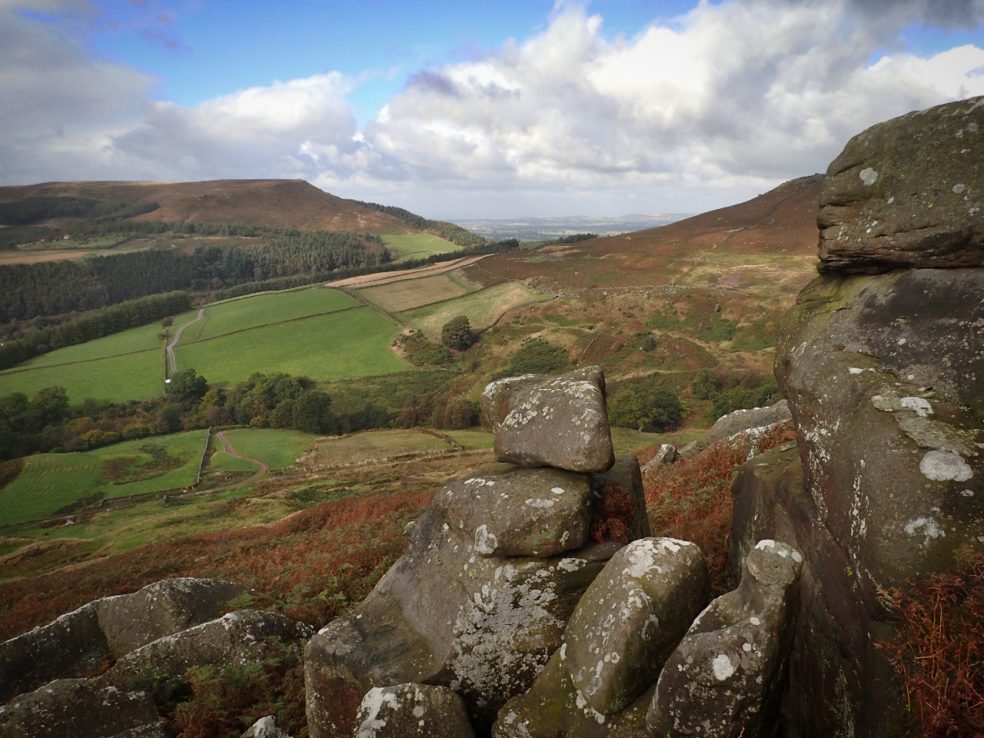
It was well worth the effort. Hacking through the dying bracken, about fifty metres from a Public Bridleway I’ve used many times before that skirts the edge of the moor and follows the prehistoric dyke known as Billy’s Dyke. I guess the Cheshire Stone is the largest of the cluster of rounded sandstone rocks, to the right in the photo. In the distance an unfamiliar view of Hasty Bank.
Leave a Reply