Day 2 of our six day crossing of the north of Britain isthmus following the route of that wonderful piece of Roman civil engineering that stretches across North Britain isthmus from the Solway to the Tyne, Hadrian’s Wall.
Yesterday we had caught the bus from Carlisle to Bowness, with the intention of walking back to Luguvalium, the Roman name for the modern city. A lot of road walking, reaching the maximum altitude of about 30 metres. And, to be honest, not much Roman stuff to photograph.
Today we ended up at Walton, the Wall being marginally better defined.
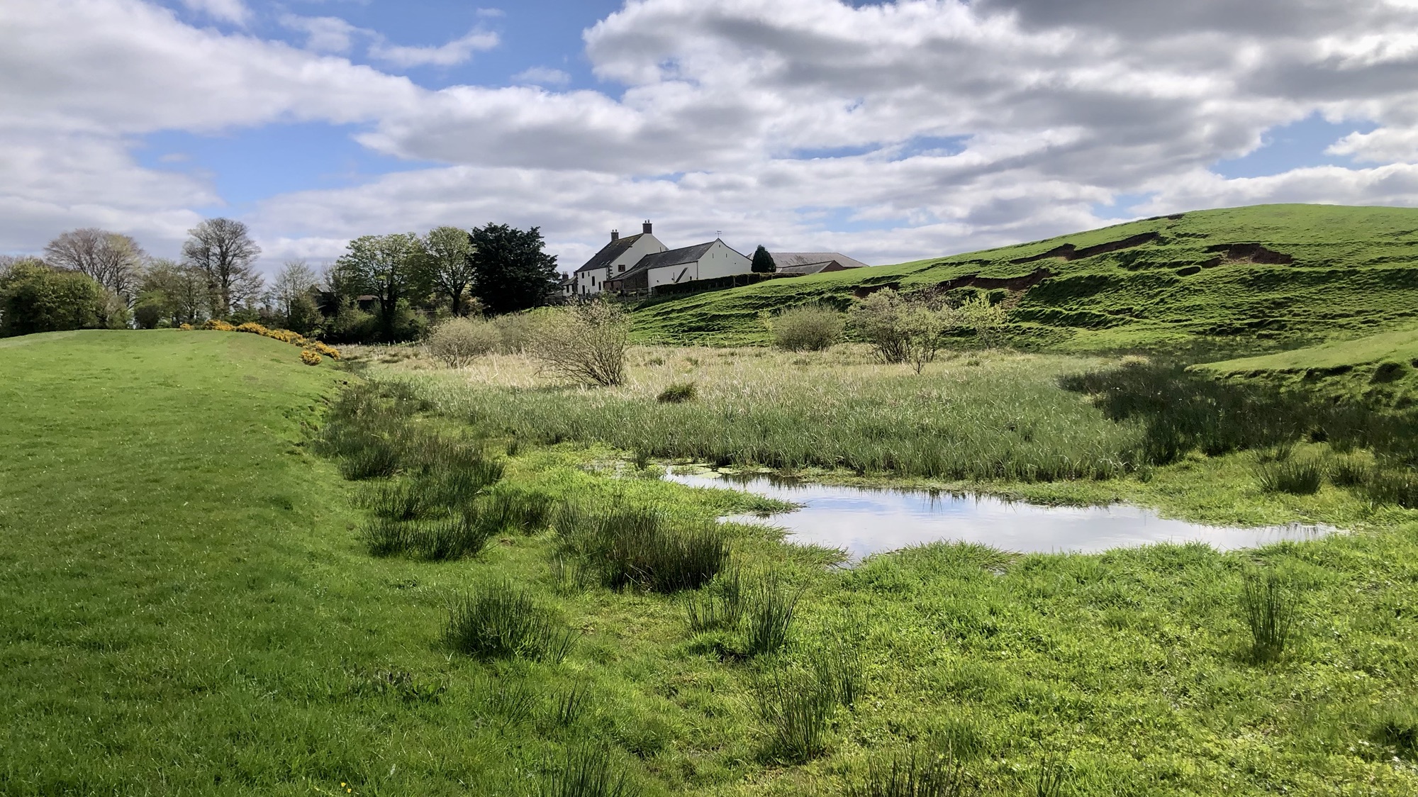
Bleatarn’s genesis traces back to its utilisation as a quarry for procuring stone to erect the Wall. Additionally, speculation suggests it might have been flooded and stocked with fish, serving as sustenance for the Roman military. Note the Wall here is delineated by the ridge to the left in the photograph.
When contemplating Hadrian’s Wall, the mind tends to conjure up images of it strategically hugging the Whin Sill crags for defensive purposes. However, the Wall wasn’t erected as a testament to civic grandeur. Instead, it was a pragmatic response to an imminent threat, and a quick glance at the map reveals that the stretch we associate with the Wall is but a minuscule segment of the entire frontier. At the western end, the Irish Sea emerges not as an obstacle but as a bridge. Raiders could easily cross it on a tranquil night. The Isle of Man and Dumfries and Galloway loom on the other side of Hadrian’s Wall. In an era when waterways dictated movement, the west coast of Britain stood as a vast, permeable frontier inhabited by diverse tribes, poised for any administrative or military lapse in Britain, eagerly awaiting an opportunity to launch their raids. This explains why the stone wall, a mere fragment of Hadrian’s Wall, forms just one element in an extensive defensive strategy that encompasses forts and positions stretching along the entire coast of present-day Cumbria. To the Romans, leaving the north of Britain unconquered left Britannia feeling exceptionally vulnerable—a logistical nightmare to safeguard. Hadrian, having overseen the completion of the wall protecting Rome’s Germanic frontier, the Limes Germanicus, commissioned an ambitious scheme for a wall spanning the British isthmus. The Limes Germanicus typically featured an earth bank, a ditch, a wooden palisade with watchtowers, and a network of forts in the rear. The Wall, as it took shape at Bowness or Maia, initially comprised turf rather than stone, perhaps due to the absence of limestone for mortar. At one-mile intervals stood heavily fortified ‘milecastles,’ interspersed with two ‘turrets.’ The Wall itself reached a height of four metres. It stood as a remarkably expensive and expansive defensive infrastructure—a response to the most chaotic frontier one could envision.
Leave a Reply