In days of yore, should you find yourself journeying from Stokesley to Bransdale on foot, or perchance on horseback, this very track would have been your chosen descent into the dale. It held sway as a vital route for many a year1‘MNA146697 | National Trust Heritage Records’. 2015. Nationaltrust.org.uk <https://heritagerecords.nationaltrust.org.uk/HBSMR/MonRecord.aspx?uid=MNA146697> [accessed 11 April 2024].
This ancient road, depicted on a 1782 estate map under the title ‘from Stokesley’, albeit following a slightly different course, is marked as a Bridle Road on the OS 1857 6″ map.
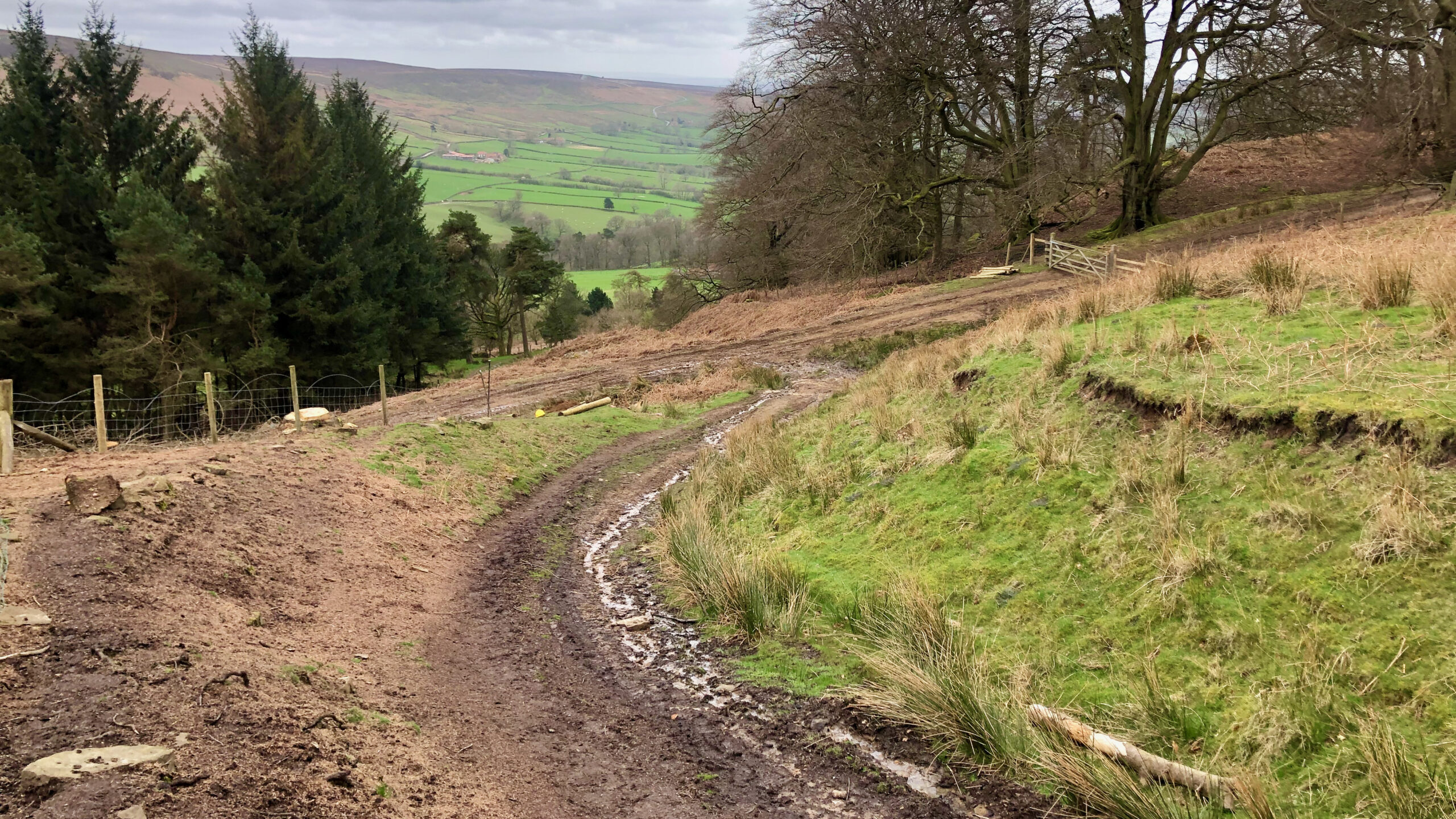
Ascending its steepest gradient, it carves out an imposing hollow-way, still frequented by farm vehicles in its upper reaches. A contemporary track, constructed for timber extraction, intersects this hollow-way in the photograph, while below, the V-shaped indentation of the original route is obvious, though now bypassed.
As the gradient eases, the route fans out into a network of parallel and intersecting tracks. Upon cresting Cockayne Ridge, it converges once more into a singular route, passing by a prehistoric barrow punctuating the skyline, perhaps used as a waymarker.
- 1‘MNA146697 | National Trust Heritage Records’. 2015. Nationaltrust.org.uk <https://heritagerecords.nationaltrust.org.uk/HBSMR/MonRecord.aspx?uid=MNA146697> [accessed 11 April 2024]
Leave a Reply