It might sound unbelievable, but, back in the day, sandstone used to be quarried right at the very top of Roseberry. A small quarry nestled just below the summit was the most recent scene for this extraction1“Roseberry Topping”. Great Ayton Community Archaeology Project. 2006 ISBN 978-0-9554153-0-2. Page 106..

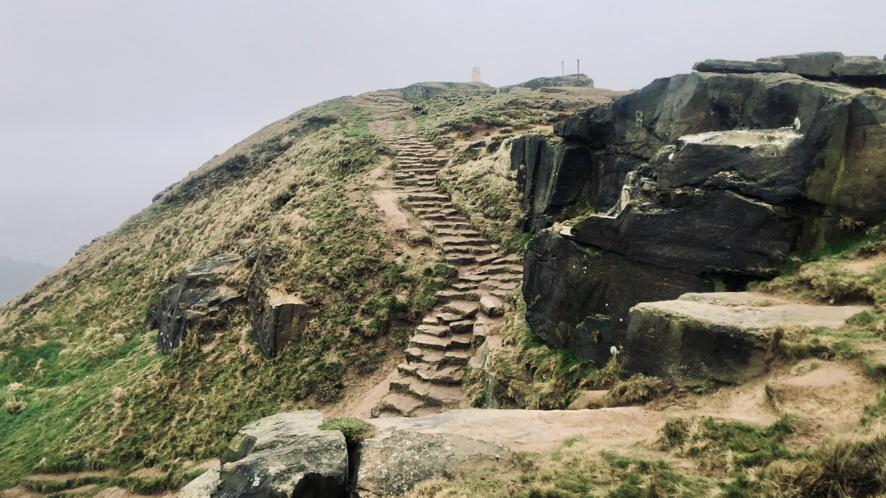
On the climb up the back of Roseberry, from the summerhouse, and you’ll start to climb a gentler diagonal slope before taking a sharp left turn. Soon enough, you’ll stroll past a spot where the rock has clearly been quarried. One face in particular appears to have been worked over in that familiar herringbone pattern you see on many a building in Great Ayton, before being split into separate blocks. That’s the small vertical crag on the left in the featured image and shows these telltale herringbone lines that the stonemasons left.
These activities are relatively recent and seem to have been on a small scale. Pinning down the exact date is a head-scratcher, but one graffiti maestro from the 19th century seems to have etched the digits ‘88‘ into the worked face, hinting the face was worked pre-1888. Can’t say for sure where the stone was used, but one possibility is that it went to the powder house at Roseberry Ironstone Mine. Besides the summerhouse, that’s the closest sandstone building around, built during the first wave of mine operations in 1881. The summerhouse itself has to pre-date a sketch of Roseberry from 1788 by George Cruit. And then of course there is the early 18th century Aireyholme farm2Airyholme farmhouse NYM NP HER No: 16480., or indeed the many dry-stone walls that line Roseberry Common.
Taking a leap further back in the time machine, it appears they were quarrying a sizable amount of stone before the 17th century. A Cottonian manuscript from 1604 mentions a hermitage, a small blacksmith’s forge, and the gap dubbed St Winifryd’s Needle, all carved into the rock up top. John Walker Ord opined that those had “been sacrificed by the ruthless quarrymen“3Ord, John Walker. “The History and Antiquities of Cleveland: Comprising the Wapentake of East and West Langbargh, North Riding, County York.” Page 424. 1846. Available online at https://books.google.co.uk/books?id=qPsnAAAAYAAJ&dq=ord&pg=PA122#v=onepage&q=highcliffe&f=false. On the other hand, it could be that an earlier rock fall from the unstable western face of the summit might’ve caused their disappearance.
Despite the good quality sandstone of the summit cap being easily accessible, hauling it down was no simple task. Imagine a sled lugging a hefty stone block, lowered down that diagonal path from the quarry, which seems to have carefully laid out with a gentler slope, but even so. Easier to manage a sled being lowered down a steep drop than some clunky wheeled cart. The 1856 Ordnance Survey map marks the sandstone quarry, but any documentary evidence about leases or the folks behind it has not been discovered.
- 1“Roseberry Topping”. Great Ayton Community Archaeology Project. 2006 ISBN 978-0-9554153-0-2. Page 106.
- 2Airyholme farmhouse NYM NP HER No: 16480.
- 3Ord, John Walker. “The History and Antiquities of Cleveland: Comprising the Wapentake of East and West Langbargh, North Riding, County York.” Page 424. 1846. Available online at https://books.google.co.uk/books?id=qPsnAAAAYAAJ&dq=ord&pg=PA122#v=onepage&q=highcliffe&f=false
Leave a Reply