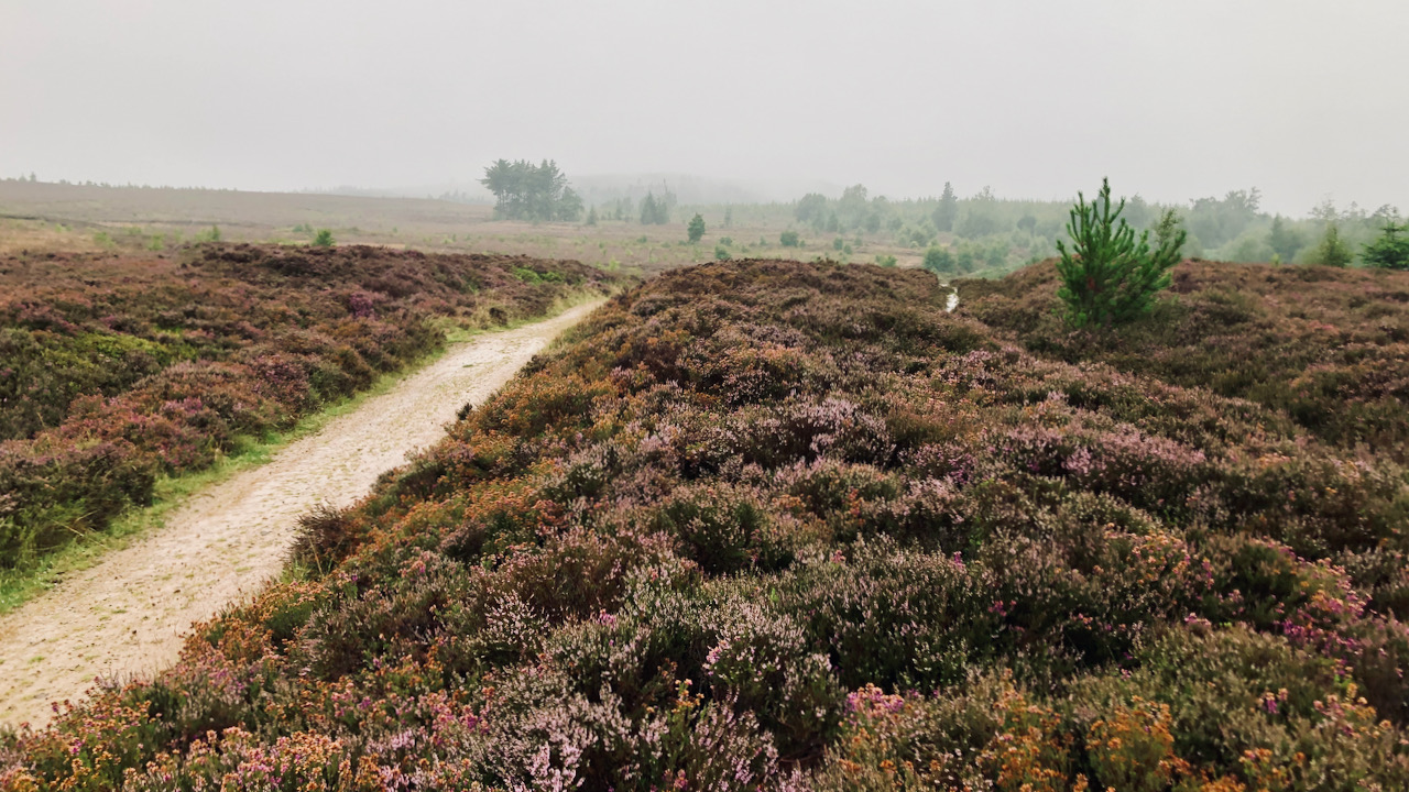
Ernaldsti, that medieval track associated with the Percy family crossing Hutton Moor, down Percy Rigg and over to Ralph Cross, via Westerdale. I suspect that the true line of this historical route over the moor lies concealed within the hollow-way, just a stone’s throw to the right of the modern track, and to the left of that spruce sapling.
Although the track has been officially designated as a Public Bridleway since 2000, its history has proven to be less straightforward. I distinctly recall an incident back in the 1980s, during which a Post Office landrover ventured along this track on a snow-covered day, surely delivering mail to Sleddale Farm from the sorting office in Guisborough. Off-road enthusiasts considered the track a challenge. I vividly remember encountering two young lads whilst out on my early morning run who had managed to wedge their saloon car into one of the deep ruts that once plagued the track. They sheepishly asked for assistance, hoping for a push to free their car from its muddy trap. However, it was clear that such efforts would prove futile, and I suggested they seek help from the farmer at Sleddale, imploring him to bring his trusty tractor.
While I am convinced that at some point in the last century, this track was designated as a BOAT (Byway Open to all Traffic) or a RUPP (Roads Used as Public Paths), it appears that it had been officially documented as a Public Bridleway on the One Inch to One Mile map of 1972.
Now, let me digress into the enigma of RUPPs – these peculiar “Roads Used as Public Paths” that have always caused much confusion. You see, the name was deceptively simple, leading people to believe that any road where the public walked should be classified as a RUPP. However, it wasn’t so straightforward. Some RUPPs were not what one might consider traditional roads with tarmac surfaces, but might be nothing more than a path across a field. And, on the other hand, some roads with public paths were not designated as RUPPs but instead were recognised as footpaths or bridleways.
Yet, there is no need to delve too deeply into this RUPP quandary, for they are no more! They have ceased to be! Bereft of life; they rest in peace! These RUPPs were merely an afterthought, hastily added to the National Parks and Access to the Countryside Act of 1949. Their existence, for over half a century, lacked a proper definition, and it wasn’t until the Countryside and Rights of Way Act 2000 came into play that they were all reclassified as BOATs, bridleways, or footpaths. By the way, the Ordnance Survey now even indicates “Restrict byways” and “Other routes with public access,” on their maps, thereby adding another layer of complexity.
So, in this convoluted tangle of Rights of Way and their ever-changing classifications, one thing remains certain: I am continually drawn to the charm and allure of landscape features like Ernaldsti, no matter what its official designation happens to be.

Leave a Reply