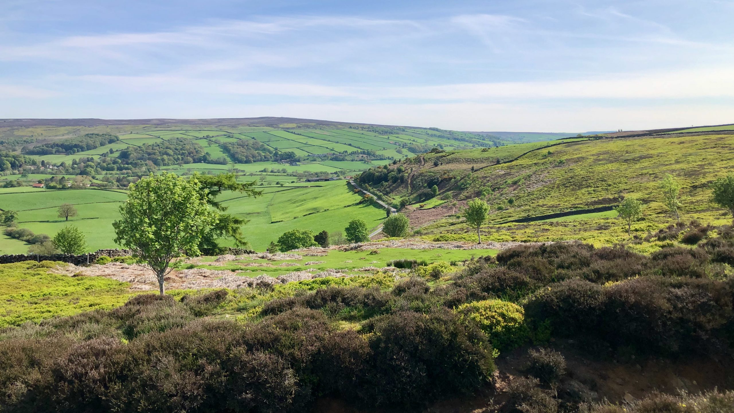
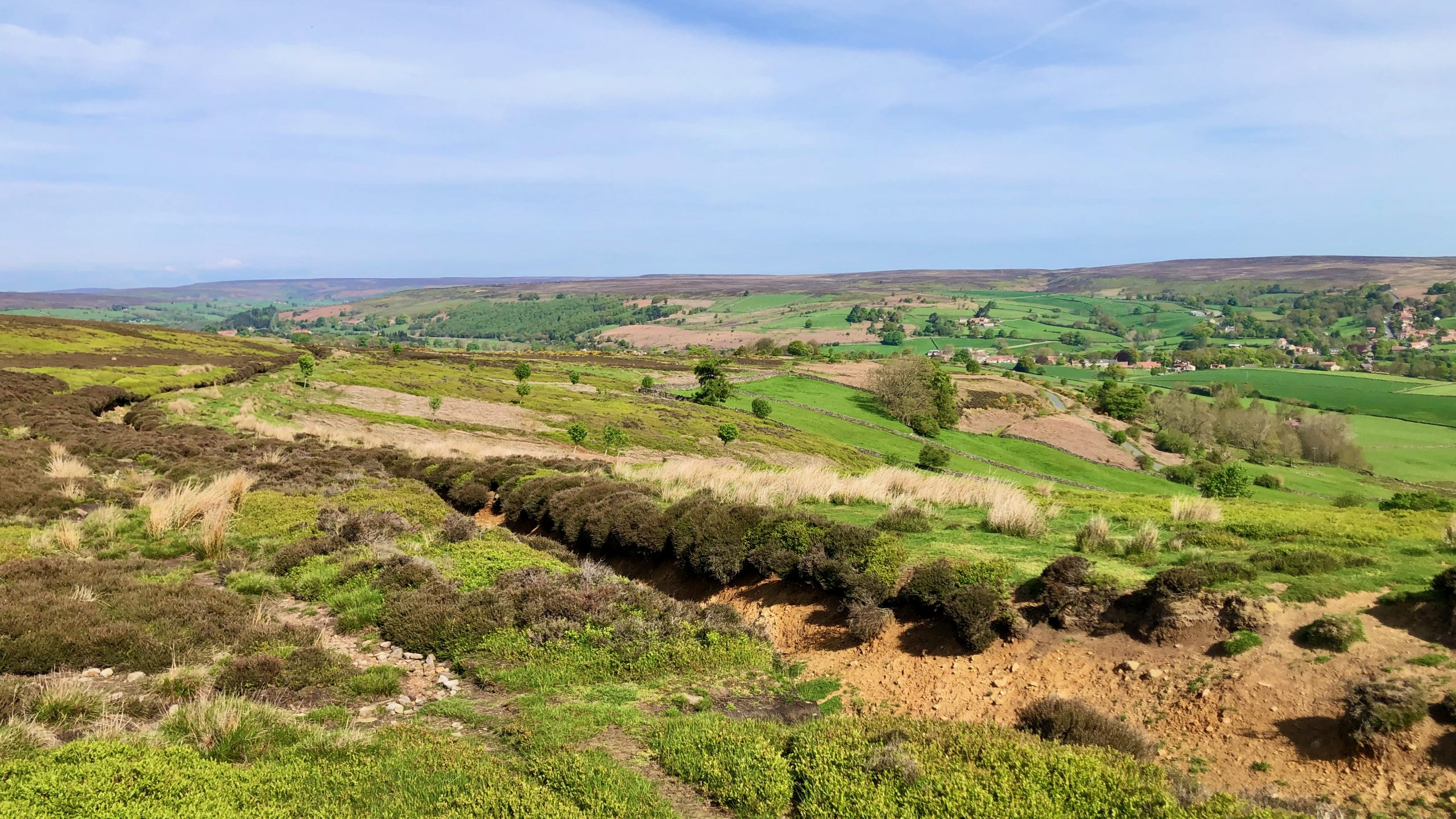
The moors have been transformed into a vibrant green as bilberries blanket the landscape. From this vantage point in the Esk valley, overlooking a basin resembling an armchair at the northern edge of Danby Rigg, known as ‘The Coombs.’ A captivating scene which caught the attention of Rev. Canon Atkinson, who dedicated fifty years as Vicar of this parish, and penned the following1Atkinson, Rev. J. C. “Forty years in a moorland parish; reminiscences and researches in Danby in Cleveland”. 1891. Page 194.:
There is a locality in the parish (indeed there are two) called by the name “Coums.” The name has been variously spelt, and it is met with, similarly applied, in other dales besides Danby, Rosedale being one of them. But the sound is the same in either case, being that represented by the spelling coombs, the b being nearly silent as in comb. The name is probably coeval with the Celtic occupation of the district. The Coums I advert to is a roughly semicircular gap or hollow, with rather steeply-sloping sides, something like half a basin, scooped out of the side of the moor-bank. It is nearly half a mile wide from one end of the moor-brae semicircle to the other, and somewhere about the same from front to back, or from mid-diameter by the perpendicular radius to the circumference.
The name and the topographical feature remind me of cirques, those steep hollows in high mountainous terrain that are the result of excavation by glacier ice. In Scotland they are known as corries, in Wales as cwms, and in the Lake District as coves and comb(e)s.
As Atkinson alludes, comb(e), as well as cwm, probably derive from the Celtic base word *kumbos2‘Etymonline’. 2023. Etymonline.com <https://www.etymonline.com/word/coomb#etymonline_v_19044> [accessed 14 May 2023].
- 1Atkinson, Rev. J. C. “Forty years in a moorland parish; reminiscences and researches in Danby in Cleveland”. 1891. Page 194.
- 2‘Etymonline’. 2023. Etymonline.com <https://www.etymonline.com/word/coomb#etymonline_v_19044> [accessed 14 May 2023]
Leave a Reply