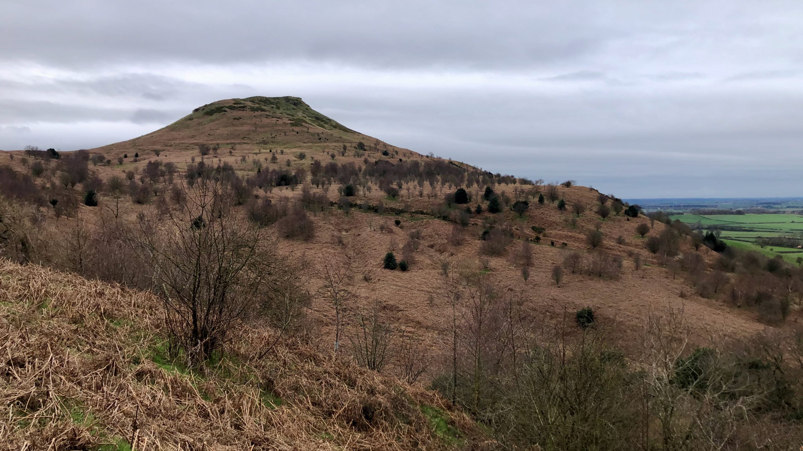
One of my favourite training routes used to be a circuit around Roseberry Common, where I would carefully choose the best path through the varied terrain. I like to revisit this route before the bracken becomes too thick to navigate. When I look at the Topping from this viewpoint, the dominant colours are those of the withered bracken, which almost encroaches up to the summit.
This unique vantage point offers a view of the hill that showcases the geology of the northern regions of the North York Moors National Park, making it a microcosm of the area.
From a geological standpoint, the hill is an outlier of the moors that resulted from thousands of years of glacial erosion and weathering. This process has separated it from the main mass of the moors. Although this type of geological feature is not uncommon in the North York Moors, other outliers are generally less striking. Examples include Whorl Hill near Swainby, Freebrough Hill near Guisborough, and Blakey Topping off the Whitby to Pickering road.
The unique topography of Roseberry is a result of its layered rock formations, with varying hardness levels indicated by the alternating steep and gentle slopes. This geological feature provides valuable insights into the area’s history over the past 200 million years. Additionally, the dramatic change caused by the 1912 landslip is clearly visible in the sharp edge of the sandstone summit.
The layers of this topography are formed by a sequence of sedimentary rock formations. These formations range in age from the oldest at the base to the youngest at the summit. Although they appear to lie horizontally, they are actually inclined from left to right. This inclination occurred during their uplift in Tertiary times, resulting in a dip to the east of approximately 1 in 30.
Leave a Reply