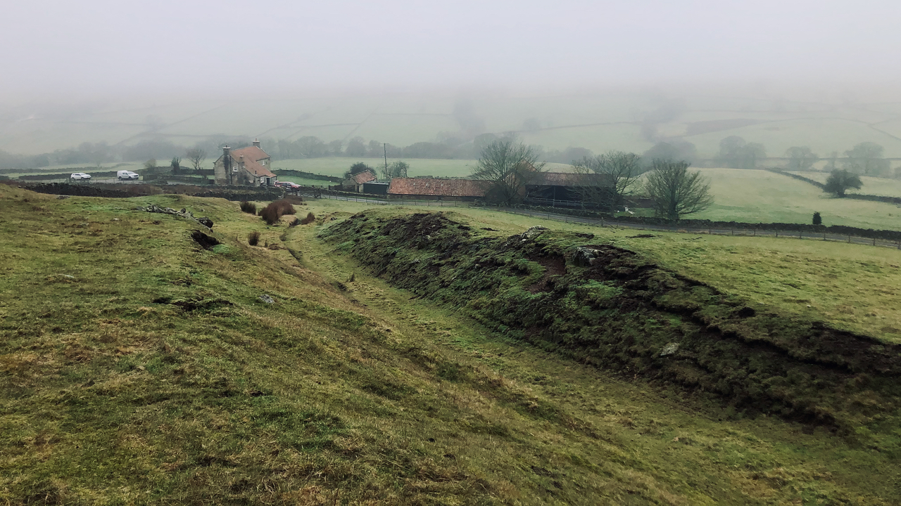
This impressive holloway or sunken lane was once one of the major routes out of the dale. Climbing up from Groat House, it is shown on the 1857 OS Six-inch O.S. map. It is also shown on an earlier map of 1828, but not on one of 17821‘MNA147024 | National Trust Heritage Records’. 2015. Nationaltrust.org.uk <https://heritagerecords.nationaltrust.org.uk/HBSMR/MonRecord.aspx?uid=MNA147024> [accessed 16 February 2023].
The term ‘holloway‘ derives from the Old English ‘hola weg‘ meaning a sunken road formed after repeated use over many centuries by the passage of people, animals, and vehicles and erosion by water and gravity2Gillan, Joanna. 2023. ‘Unlocking the Secrets of the Holloways: An Exploration of England’s Sunken Labyrinths’, Ancient Origins Reconstructing the Story of Humanity’s Past (Ancient Origins) <https://www.ancient-origins.net/news-general/holloways-england-0017818> [accessed 21 January 2023].
Holloways can be found all over Britain and throughout the world. They are often considered to be important cultural and historical landmarks many with graffiti carved into their banks.
Natural England is currently carrying out a project to map and survey sunken lanes3Ibid..
- 1‘MNA147024 | National Trust Heritage Records’. 2015. Nationaltrust.org.uk <https://heritagerecords.nationaltrust.org.uk/HBSMR/MonRecord.aspx?uid=MNA147024> [accessed 16 February 2023]
- 2Gillan, Joanna. 2023. ‘Unlocking the Secrets of the Holloways: An Exploration of England’s Sunken Labyrinths’, Ancient Origins Reconstructing the Story of Humanity’s Past (Ancient Origins) <https://www.ancient-origins.net/news-general/holloways-england-0017818> [accessed 21 January 2023]
- 3Ibid.
Leave a Reply