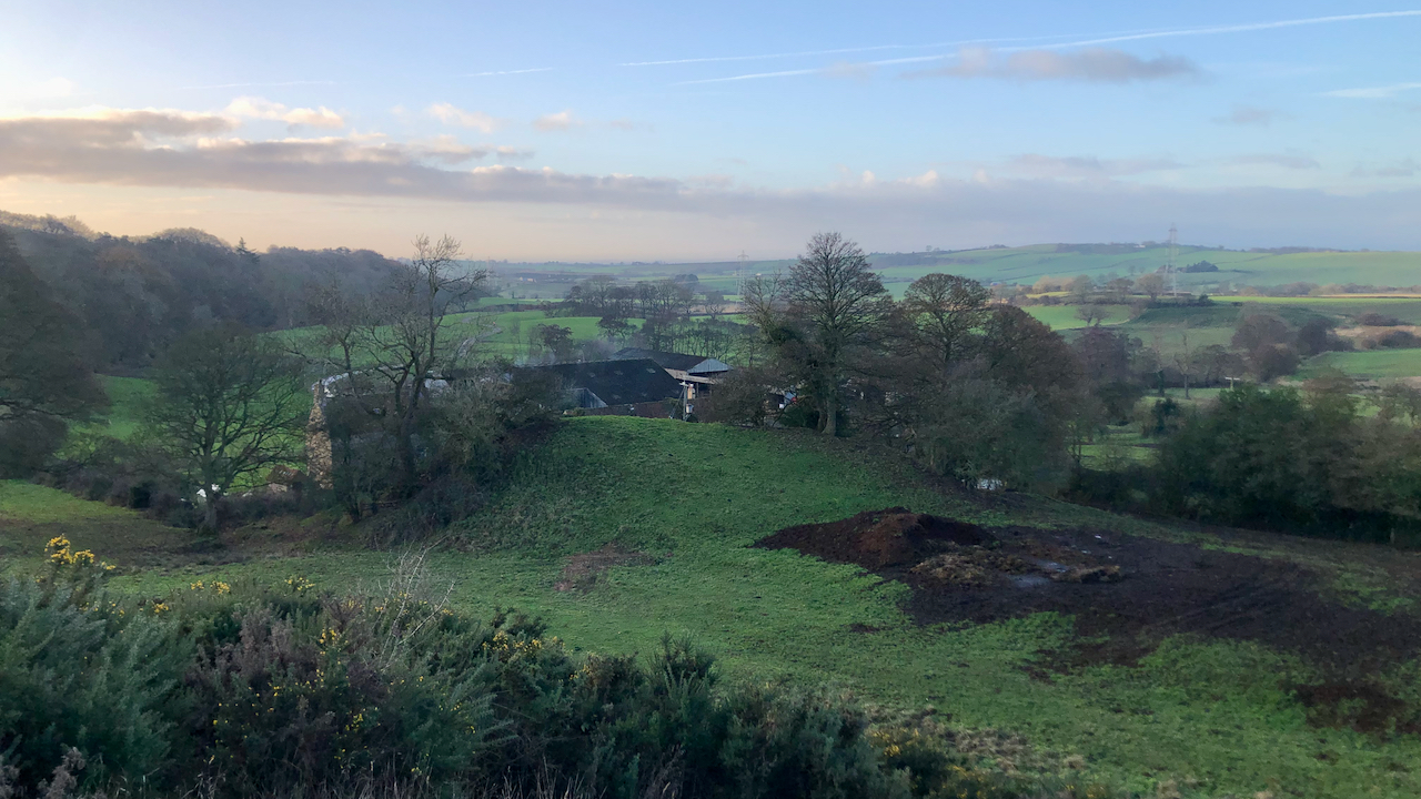
A circular walk from Osmotherley with the intention of having a gander at Nunhouse Farm, the site of a Benedictine nuns priory, just south of the village of Thimbleby1North York Moors Historic Environment Record (HER) Nos. 2208/1151/10009.
William Grainge wrote in 1859 of a hidden treasure “At a small farmhouse immediately in the plain below, called Nunhouse, near to Thimbleby Banks, tradition says, there is a bull’s skin full of gold hid in the earth. Would he be a lucky man who should find it ?“2Grainge, William. ‘The Vale of Mowbray: A Historical and Topographical Account of Thirsk and Its Neighbourhood : Internet Archive’. 2012. Internet Archive <https://archive.org/details/valeofmowbrayhis00grai/> [accessed 20 December 2022].
The brief throw-away line was included in a description of the view from the Hanging Stone which I ascended on my return to Osmotherley. Grainge elucidated the scene far better than I ever can so I’ll quote the rest of his words:
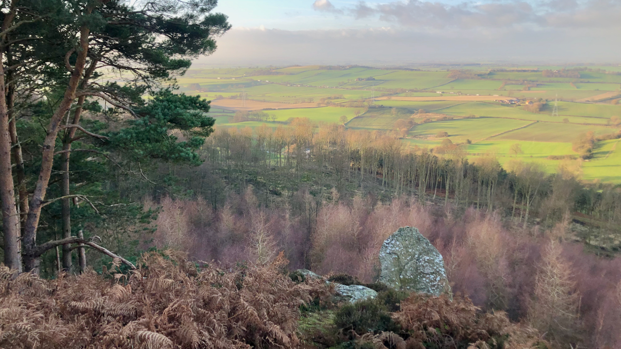
About a mile north of Silton, on the steep side of Thimbleby Banks, is a lofty rock of singular shape, called ” the hanging stone.” This rock is of coarse grit, of considerable size, and stands in such a position, that it appears to hang in air, and, looking at it from below, we wonder why it does not fall into the valley beneath. It is ascended from behind, and is highest in front, sloping backwards to the rocky hill, which is of equal altitude. The top is shaped like the sole of a gigantic shoe, about eighteen feet in length. It is very nicely balanced upon the slender supports beneath; the top is not level, else it would have made a fitting altar for those whose places of worship were ” the earth o’er gazing mountains.” The prospect from the top is beautiful, and of almost unlimited extent on all sides but to the east. Looking northward, the villages of Thimbleby and Osmotherley are close at hand, but deep below; beyond, the ruins of Mount Grace nestle under the thickly-timbered side of the gloomy Arncliffe. Harlsey, with its white-fronted hall, crowns a gentle eminence beyond, not far from the slender remains of the ancient castle, that once commanded the plain around; further north we look over the extensive table lands, which stretch far into the county of Durham. Westward, the hills of Teesdale, Swaledale, and Wensleydale close the prospect; the huge bulk of Ingleborough being visible over all in the far distant horizon. Southward, the view is unlimited over the Vale of Mowbray, and the Plain of York.
Grainge’s description was of a view long before the hillside was planted with coniferous trees which has resulted in a dark, impenetrable forest that obscures much of the view he would have had. However, my route continued along the edge of Thimbleby Banks, and Thimbleby Estate have been doing some clear felling work, opening up super views across the plain and to Osmotherley.
- 1North York Moors Historic Environment Record (HER) Nos. 2208/1151/10009
- 2Grainge, William. ‘The Vale of Mowbray: A Historical and Topographical Account of Thirsk and Its Neighbourhood : Internet Archive’. 2012. Internet Archive <https://archive.org/details/valeofmowbrayhis00grai/> [accessed 20 December 2022]
Leave a Reply