I have mentioned many times of the great Devensian ice sheet which flowed over the Pennines at the Stainmore Gap, spilling out into what would become the Vale of Cleveland.
And it is also common knowledge that the glacier did not flow over North York Moors, which became an island in a sea of ice, bounded to the east, north and west and to the south by the Vale of Pickering.
This begs the question which I’ve pondered many times before — how far up the hills did the ice extend?
At the turn of the 20th-century, enthused by the work of Percy Fry Kendall et al, a decade or so earlier, Frank Elgee spent many weekends searching throughout Cleveland for small erratics.
On one occasion, after failing to find any erratic pebbles “on the summit of the dyke near Gribdale Gate (the entrance to Lonsdale)“, he found “one small erratic … at an altitude of 572 feet [174 metres], and a block of granite at 550 feet [168 metres]”1Elgee, Frank. A Ramble in Cleveland | Northern Weekly Gazette | Saturday 20 September 1902 | British Newspaper Archive’. 2022. Britishnewspaperarchive.co.uk <https://www.britishnewspaperarchive.co.uk/viewer/BL/0003075/19020920/126/0012?browse=true> [accessed 8 August 2022]. He concludes that “this was the height of the ice sheet between Captain Cook’s monument and Roseberry“.
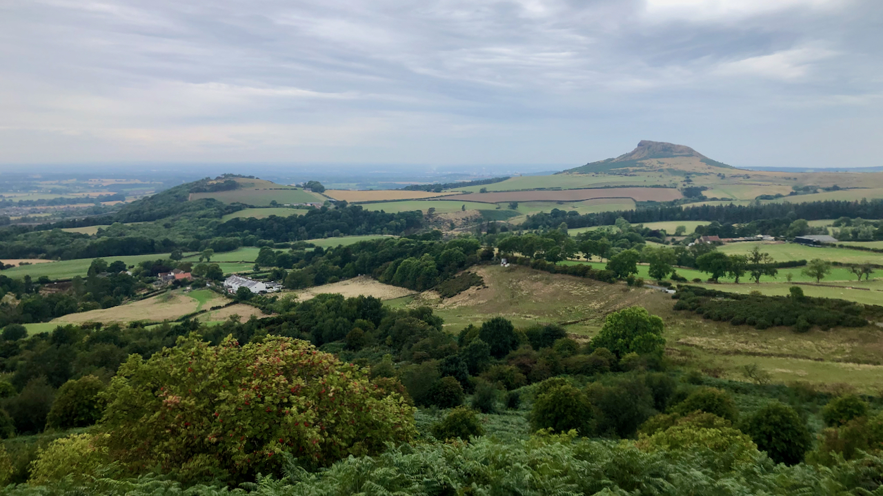
The 575 foot [175 metre] contour passes through Gribdale Terrace, the row of white cottages left of centre.
I imagine that contour, representing the icy wall of ice, winding its way around Cliff Rigg, and along the north-west side of Roseberry.
- 1Elgee, Frank. A Ramble in Cleveland | Northern Weekly Gazette | Saturday 20 September 1902 | British Newspaper Archive’. 2022. Britishnewspaperarchive.co.uk <https://www.britishnewspaperarchive.co.uk/viewer/BL/0003075/19020920/126/0012?browse=true> [accessed 8 August 2022]
Leave a Reply