The eastern edge of Newton Moor, still showing signs of the devastation left after felling some twenty years or so ago.
I wonder how long will the old tree stumps take to decay.
This sandstone outcrop is shown as a quarry on the 1856 O.S. map1Maps.nls.uk. (2022). View map: Yorkshire 29 (includes: Easby; Great Ayton; Ingleby Greenhow; Kildale; Little Ay… – Ordnance Survey Six-inch England and Wales, 1842-1952. [online] Available at: https://maps.nls.uk/view/102344245#zoom=5&lat=9523&lon=5752&layers=BT [Accessed 9 Mar. 2022].. But no access track is shown, nor is there any extant indication of a route but no doubt the forestry would have destroyed all signs.
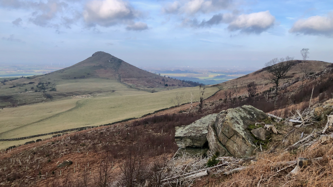
No prizes for identifying Yorkshire’s Matterhorn in the distance.
- 1Maps.nls.uk. (2022). View map: Yorkshire 29 (includes: Easby; Great Ayton; Ingleby Greenhow; Kildale; Little Ay… – Ordnance Survey Six-inch England and Wales, 1842-1952. [online] Available at: https://maps.nls.uk/view/102344245#zoom=5&lat=9523&lon=5752&layers=BT [Accessed 9 Mar. 2022].
Leave a Reply