Month: February 2023
-
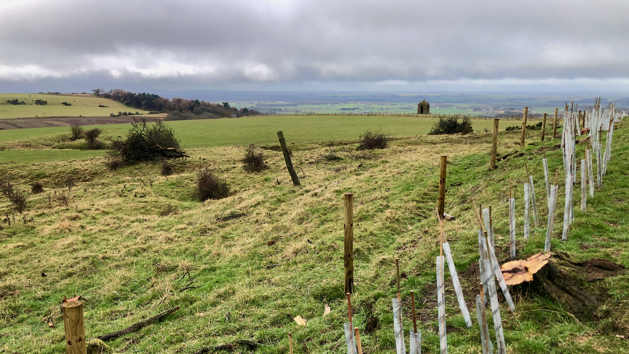
An echo of the past silenced as hawthorn trees are felled — a loss for nature and history
Three years ago I lamented on the felling of a patch of semi-open woodland on the southern flank of Roseberry Topping. It was a parcel of scattered trees, mostly Hawthorn, the felling of which was a significant loss, not only in terms of its wild beauty but also its ecological importance. Hawthorn trees provide food,…
-
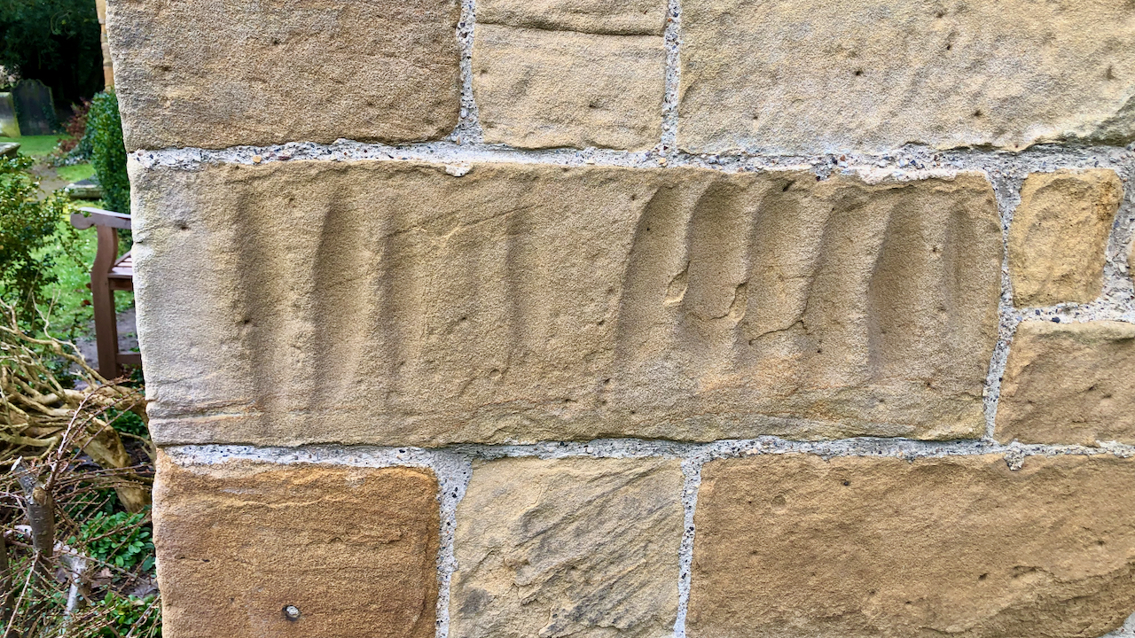
Arrow Stones
Not a day for photography on the moors. So a quick visit to the local church. All Saints Church, Great Ayton. The present building dates from the 12th-century but an an Anglo Saxon church in the Domesday Book. One curiosity is a series of groves incised on a quoin (cornerstone) of the gable to the…
-
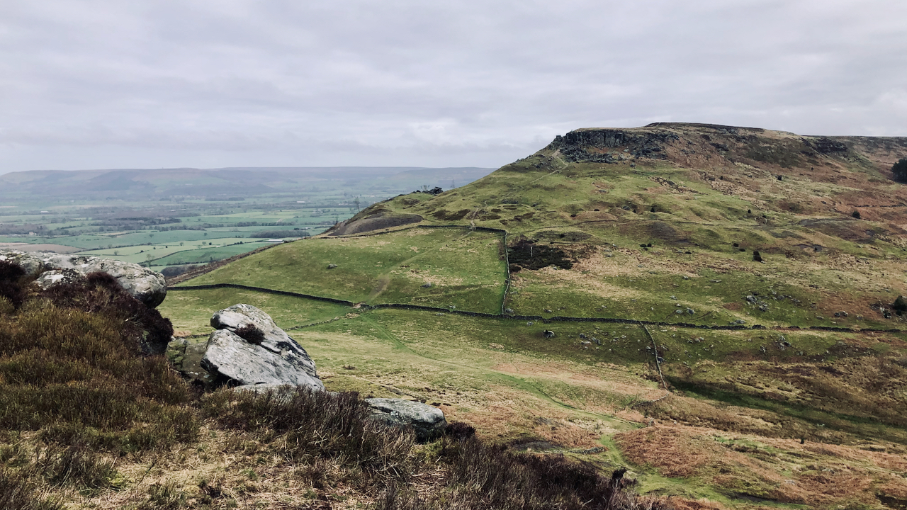
The Wainstones
Playing on the Cleveland Hills today. This is a familiar landmark to all who know these hills. My dabble in artificial intelligence a few weeks ago, was not very convincing, but I thought I would give it another go. Maybe Shakespear with his iambic pentameter was too intelligent, so I thought KISS, ‘keep it simple…
-
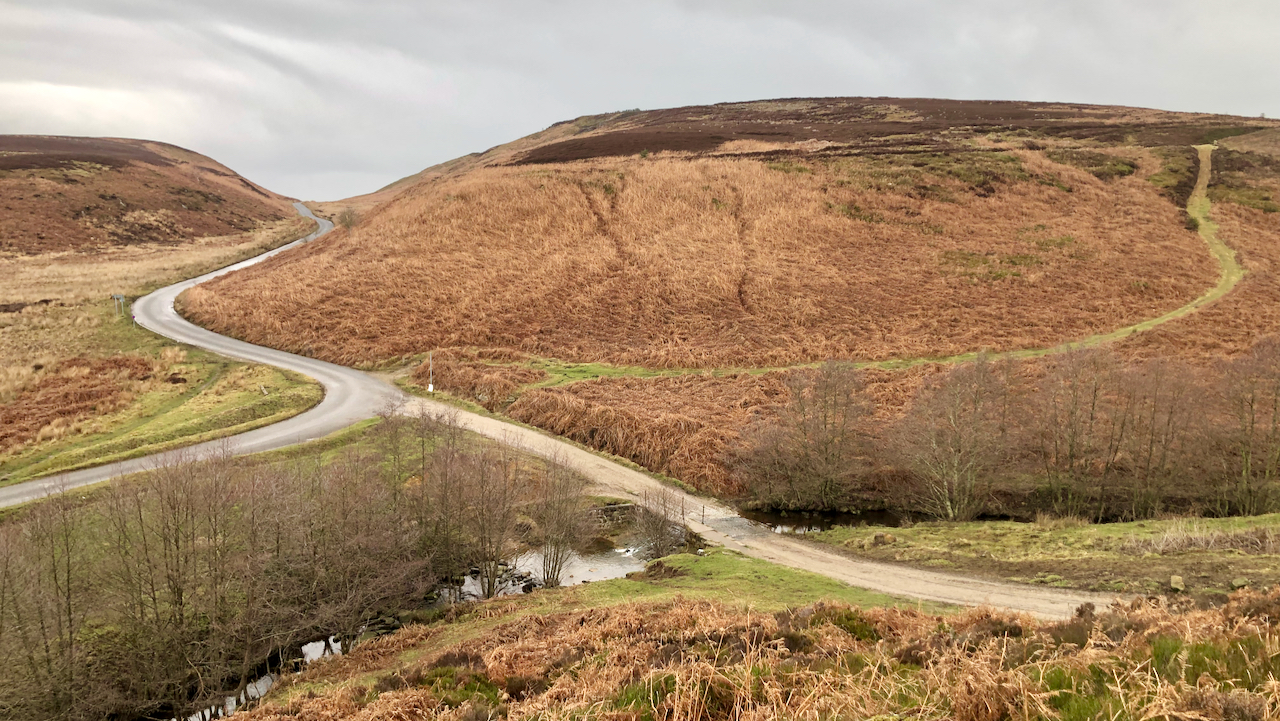
An earlyish wander around Scarth Wood Moor
Overcast with a patch of heavy drizzle. This is the famous Sheepwash. Where the Hambleton Drove Road fords Crabtree Beck. A popular honeypot in the post-war car boom, but that was before the Cod Beck Reservoir was built. The grassy footpath opposite is not shown on the O.S. map as a Right of Way, but…
-
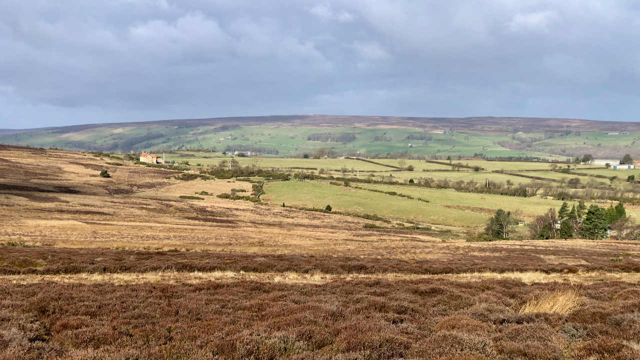
Glaisdale Swangs
“ … a wet, morassy division of the Danby and Glaisdale high moors” according to the Rev. Canon Atkinson. He was describing shooting Golden Plover at the time, a practice that today is totally immoral and illegal. The word ‘swang‘ occurs fairly frequently, originating from the old Norse word ‘svangr‘ meaning a hollow usually boggy.…
-
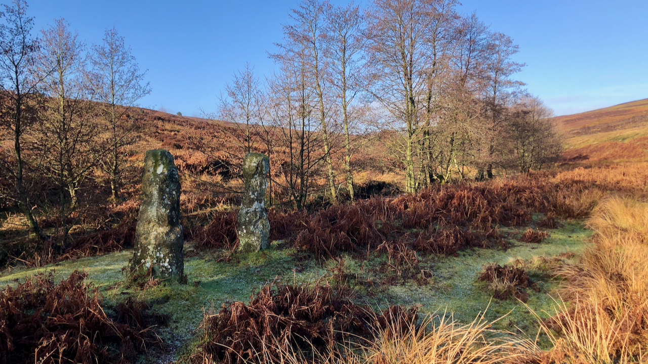
In Baysdale Beck
Two stoops or gateposts mark a long-lost crossing of Baysdale Beck about 275 metres upstream of the modern-day ford at Hob Hole. The width between the post suggests a passage on foot and for pack horses only. “Ploughman“, writing in 1908, observed that “the supports of an ancient bridge is still preserved, by the interweaving…
-
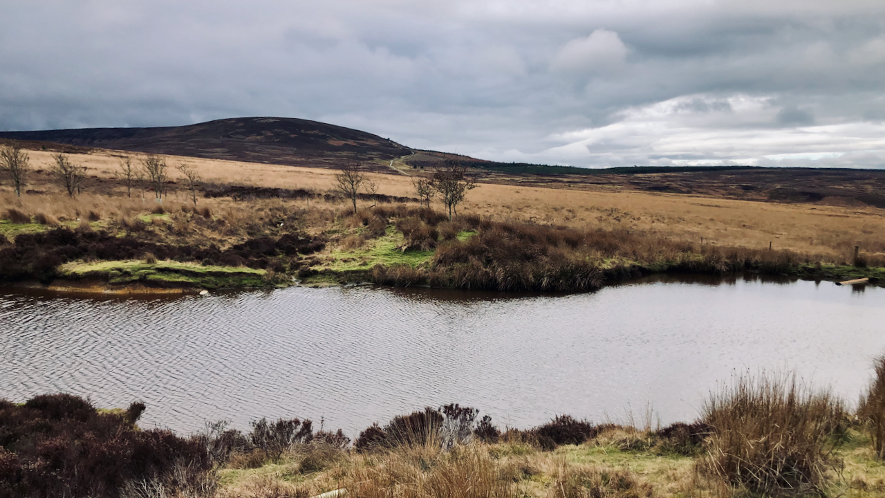
Black Hambleton
The glooming mass of the flat-topped Black Hambleton, the northern end of the calcareous Tabular Hills that range from Roulston Scar in the south. Climbing up to its right is Hambleton Street, part of the drover’s road that once extended from Scotland along which cattle were driven to be sold at the markets of York,…
-
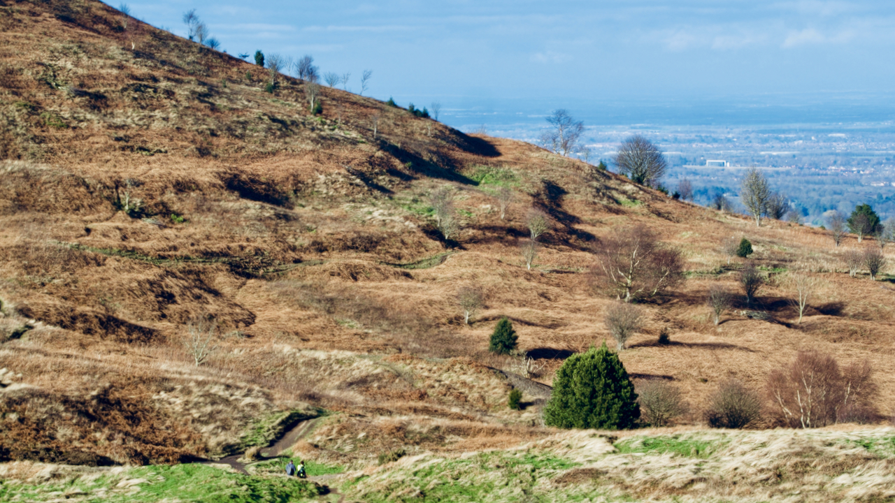
Odin’s necklace
Deep shadows from the winter sunshine emphasise the contour features on the northern face of Roseberry. There are three lines of pits. One follows the 200m contour above Cockle Scar, I’ve posted about these before. Their origins remain unclear, from a supposed British settlement by Victorian antiquarians to military, defensive or ritual. Next up, at…
-
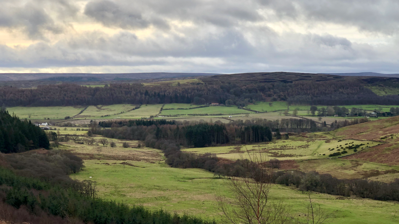
Lonsdale with its confluence with Kildale
We are all familiar with War Memorials in villages and towns throughout the country that record the fallen, yet anything written about the soldiers who served is largely restricted to family histories. Kildale was a sparse community but many families had someone serving abroad. On 18 February 1916, the Whitby Gazette carried a list of…
-
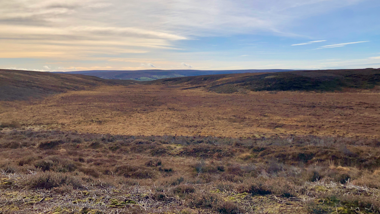
Sandwith Slack
Or is it Ewe Crag Slack? Where the watershed lies between the two slacks is not obvious. For almost a kilometre the broad depression that crosses the North Cleveland watershed at 236m. asl. on Danby Low Moor, cuts no contour line. To the north it drains into Sandwith Slack then into Haw Beck and the…