Category: Black Hambleton
-

Black Hambleton
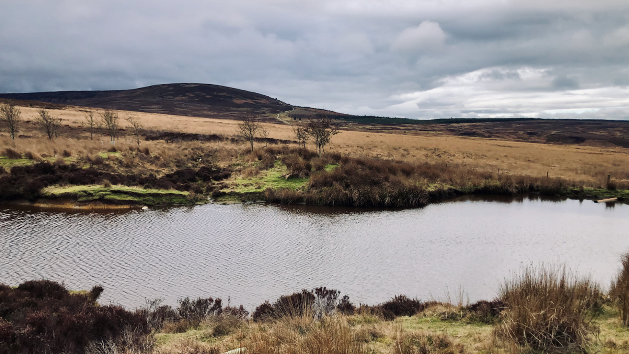
The glooming mass of the flat-topped Black Hambleton, the northern end of the calcareous Tabular Hills that range from Roulston Scar in the south. Climbing up to its right is Hambleton Street, part of the drover’s road that once extended from Scotland along which cattle were driven to be sold at the markets of York,…
-

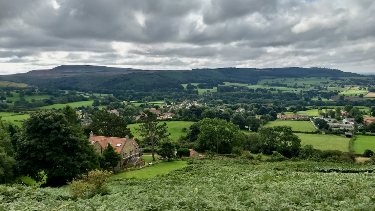
Osmotherley with Hambleton End in the distance
“Osmotherley is an endearing village on the fringe of the Hambletons and the Clevelands. It lies about a mile and a half to the east of the main Thirsk – Yarm road, but it is most accessible from Northallerton. The King’s Head hotel at Clack Lane End points the way to the village. It is…
-

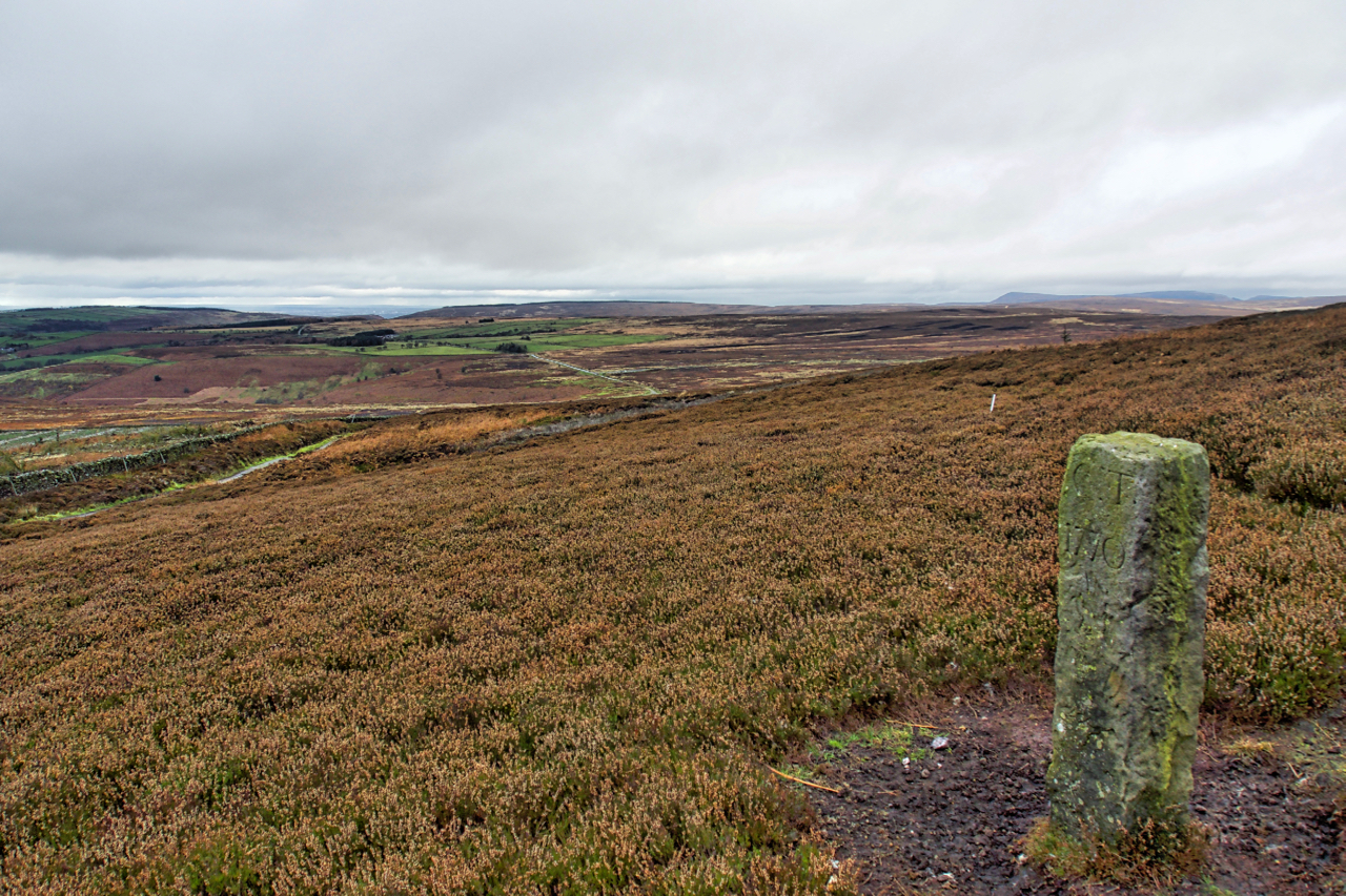
Boundary Stone, Hambleton End
Boundary Stone on Black Hambleton in the Tabular Hills.
-

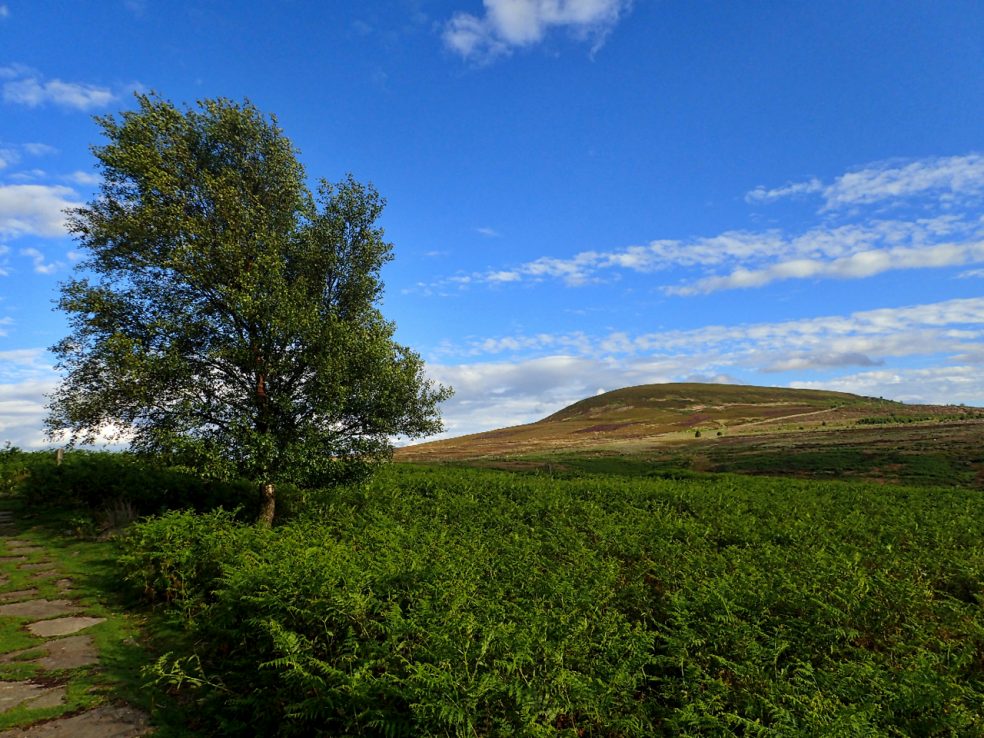
Black Hambleton
The Tabular Hills make up most of the southern half of the North York Moors. Hills with a hard limestone cap. At 1,308 feet Black Hambleton is the highest point making it, for hill bagging enthusiasts, both a Hump and a Tump. A Hump stands for HUndred Metre Prominence and is defined as a hill with a drop…